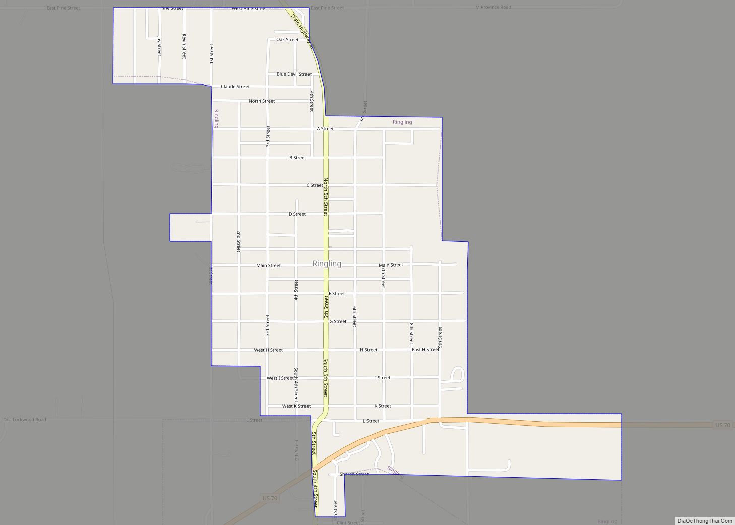
Ringling is a town in Jefferson County, Oklahoma, United States. The population was 1,037 at the 2010 census, a decline of 8.6 percent from the figure of 1,135 in 2000. It was named for John Ringling, the founder of the Ringling Brothers Circus.
| Name: | Ringling town |
|---|---|
| LSAD Code: | 43 |
| LSAD Description: | town (suffix) |
| State: | Oklahoma |
| County: | Jefferson County |
| Elevation: | 912 ft (278 m) |
| Total Area: | 0.78 sq mi (2.03 km²) |
| Land Area: | 0.78 sq mi (2.03 km²) |
| Water Area: | 0.00 sq mi (0.00 km²) |
| Total Population: | 869 |
| Population Density: | 1,111.25/sq mi (429.07/km²) |
| ZIP code: | 73456 |
| Area code: | 580 |
| FIPS code: | 4063350 |
| GNISfeature ID: | 1097212 |
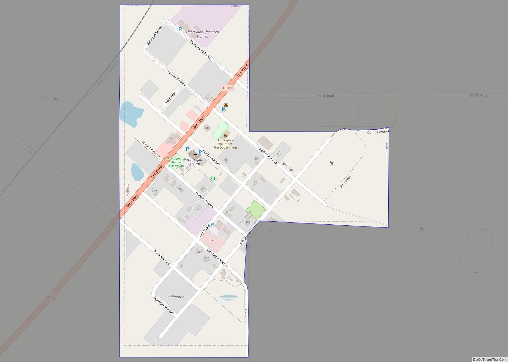
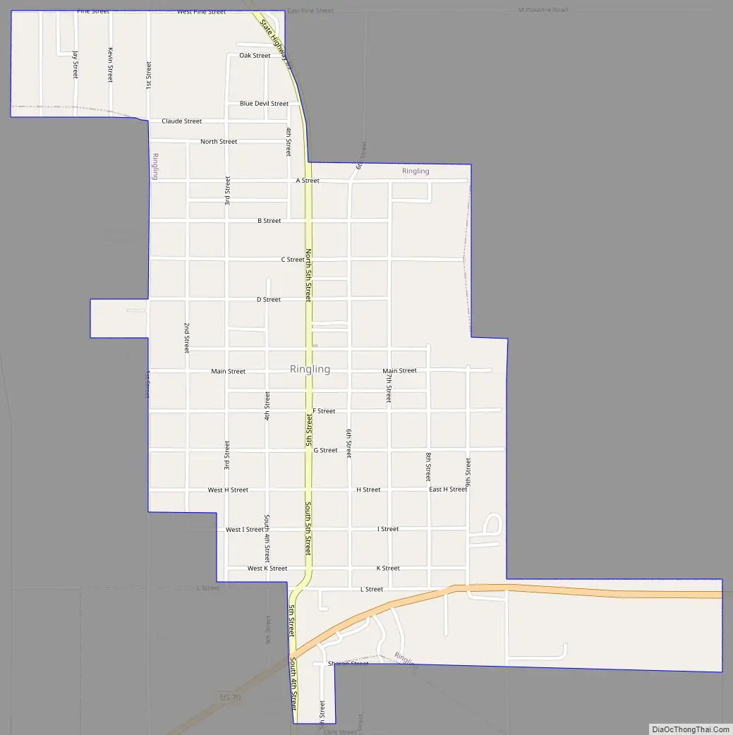
Online Interactive Map
Click on ![]() to view map in "full screen" mode.
to view map in "full screen" mode.
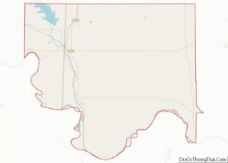
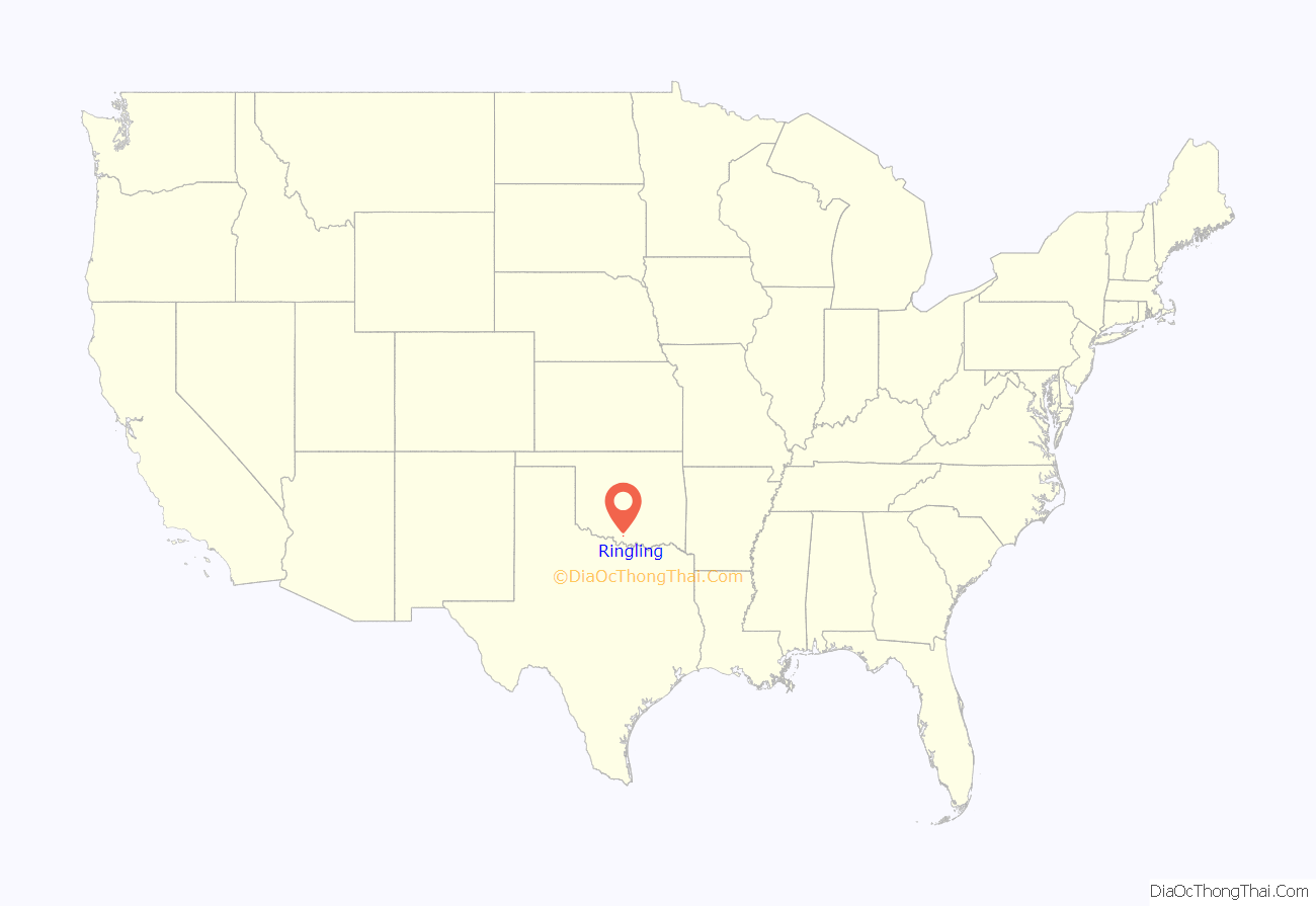
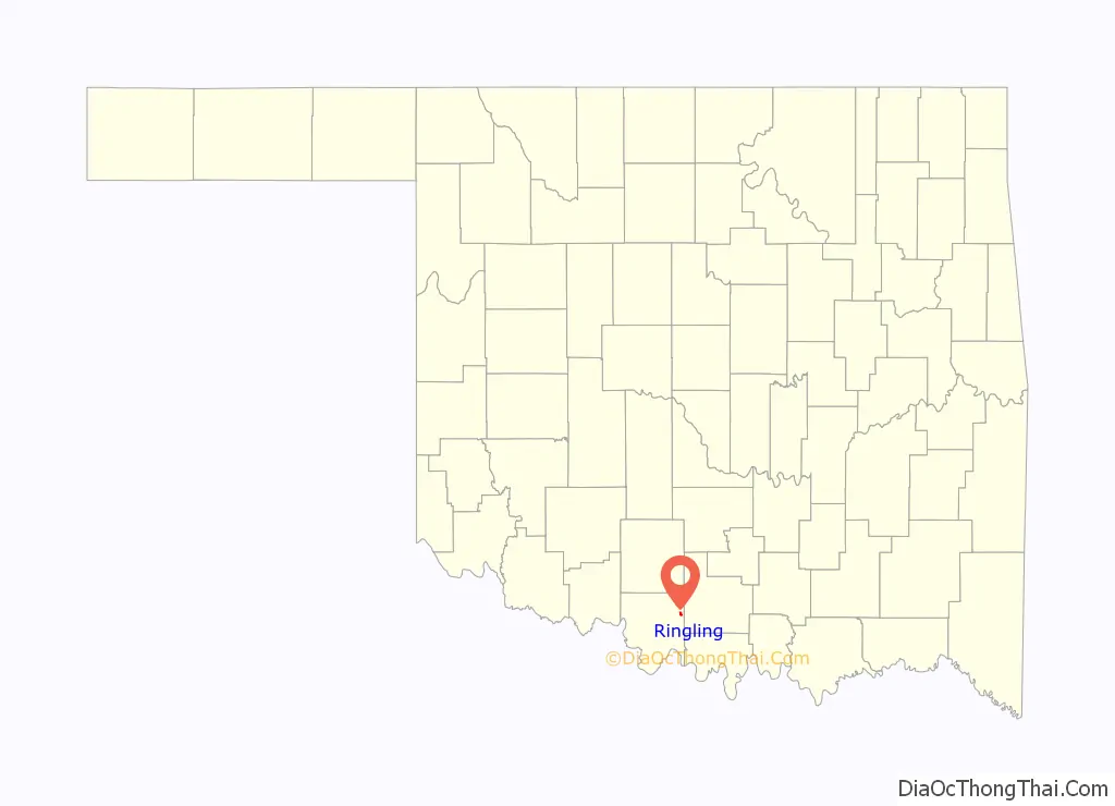
Ringling location map. Where is Ringling town?
History
John Ringling and a partner, Jake Hamon, financed construction of the Oklahoma, New Mexico and Pacific Railway in 1913, to provide transportation to farmers and ranchers between Ardmore and Lawton. Construction began on May 1, 1913, at Ardmore and progressed westward. Oil was discovered in the Healdton field in August 1913. Seeing an opportunity to make big money in the oil business, Ringling and Hamon decided to divert the railroad toward Healdton, 10 miles (16 km) northeast of the town site. A post office was established during June 1914.
Ringling Road Map
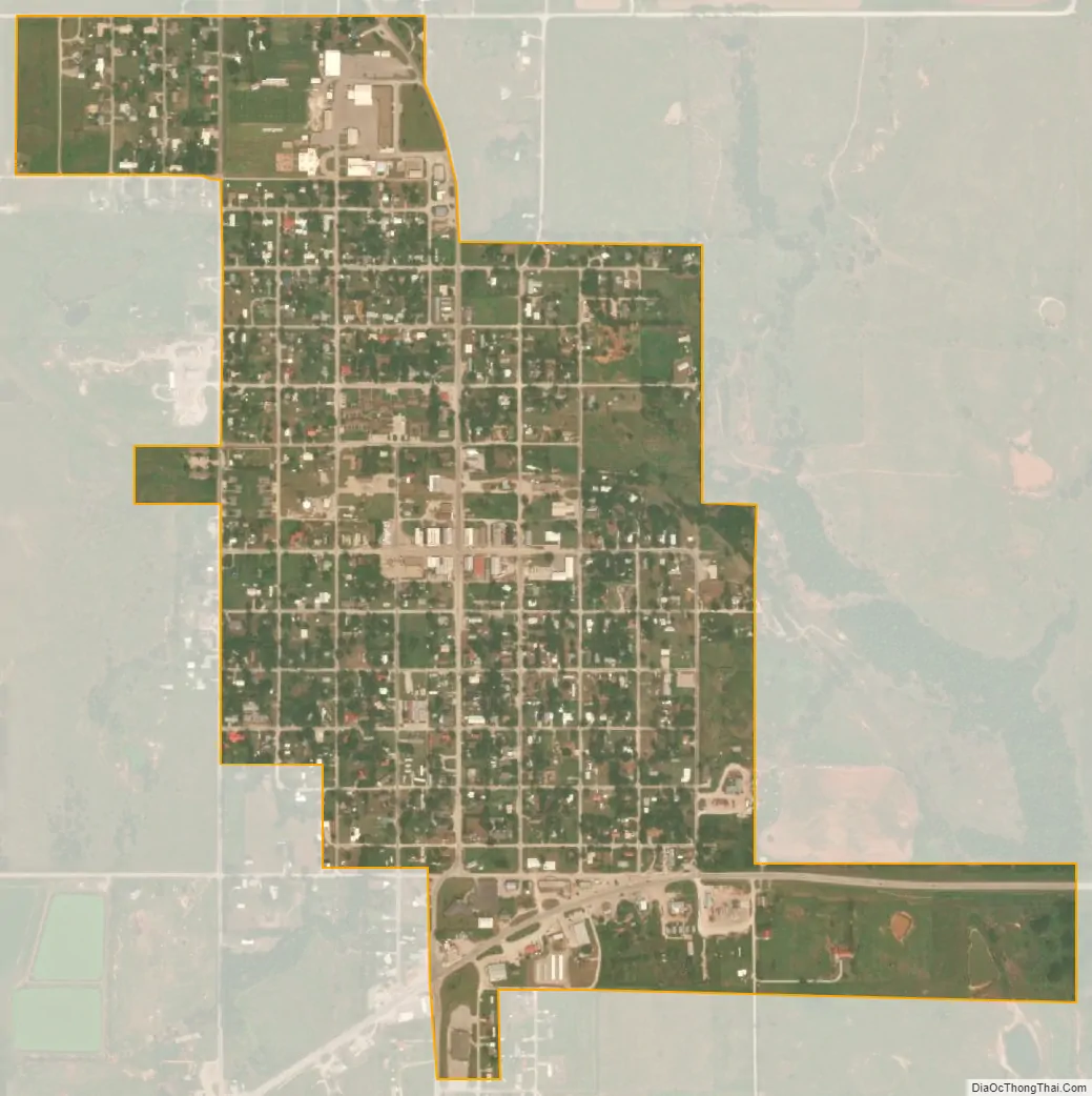
Ringling city Satellite Map
Geography
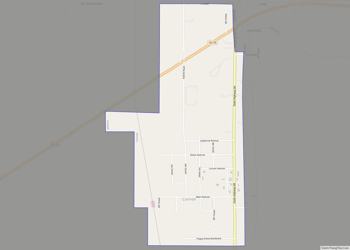
Ringling is located in eastern Jefferson County at 34°10′41″N 97°35′35″W / 34.17806°N 97.59306°W / 34.17806; -97.59306 (34.178094, -97.593182). It is bordered to the south by the town of Cornish.
U.S. Route 70 passes through the southern part of Ringling, leading 23 miles (37 km) west to Waurika, the Jefferson county seat, and 25 miles (40 km) east to Ardmore. Oklahoma State Highway 89 (Fifth Street) runs north–south through the center of Ringling.
According to the United States Census Bureau, the town has a total area of 0.66 square miles (1.7 km), consisting purely of land.
See also
Map of Oklahoma State and its subdivision:- Adair
- Alfalfa
- Atoka
- Beaver
- Beckham
- Blaine
- Bryan
- Caddo
- Canadian
- Carter
- Cherokee
- Choctaw
- Cimarron
- Cleveland
- Coal
- Comanche
- Cotton
- Craig
- Creek
- Custer
- Delaware
- Dewey
- Ellis
- Garfield
- Garvin
- Grady
- Grant
- Greer
- Harmon
- Harper
- Haskell
- Hughes
- Jackson
- Jefferson
- Johnston
- Kay
- Kingfisher
- Kiowa
- Latimer
- Le Flore
- Lincoln
- Logan
- Love
- Major
- Marshall
- Mayes
- McClain
- McCurtain
- McIntosh
- Murray
- Muskogee
- Noble
- Nowata
- Okfuskee
- Oklahoma
- Okmulgee
- Osage
- Ottawa
- Pawnee
- Payne
- Pittsburg
- Pontotoc
- Pottawatomie
- Pushmataha
- Roger Mills
- Rogers
- Seminole
- Sequoyah
- Stephens
- Texas
- Tillman
- Tulsa
- Wagoner
- Washington
- Washita
- Woods
- Woodward
- Alabama
- Alaska
- Arizona
- Arkansas
- California
- Colorado
- Connecticut
- Delaware
- District of Columbia
- Florida
- Georgia
- Hawaii
- Idaho
- Illinois
- Indiana
- Iowa
- Kansas
- Kentucky
- Louisiana
- Maine
- Maryland
- Massachusetts
- Michigan
- Minnesota
- Mississippi
- Missouri
- Montana
- Nebraska
- Nevada
- New Hampshire
- New Jersey
- New Mexico
- New York
- North Carolina
- North Dakota
- Ohio
- Oklahoma
- Oregon
- Pennsylvania
- Rhode Island
- South Carolina
- South Dakota
- Tennessee
- Texas
- Utah
- Vermont
- Virginia
- Washington
- West Virginia
- Wisconsin
- Wyoming