Skedee is a town in Pawnee County, Oklahoma, United States. The population was 51 at the 2010 census, a 50 percent decline from the figure of 102 recorded in 2000.
| Name: | Skedee town |
|---|---|
| LSAD Code: | 43 |
| LSAD Description: | town (suffix) |
| State: | Oklahoma |
| County: | Pawnee County |
| Elevation: | 850 ft (259 m) |
| Total Area: | 0.14 sq mi (0.35 km²) |
| Land Area: | 0.14 sq mi (0.35 km²) |
| Water Area: | 0.00 sq mi (0.00 km²) |
| Total Population: | 62 |
| Population Density: | 459.26/sq mi (177.42/km²) |
| FIPS code: | 4067800 |
| GNISfeature ID: | 1098086 |
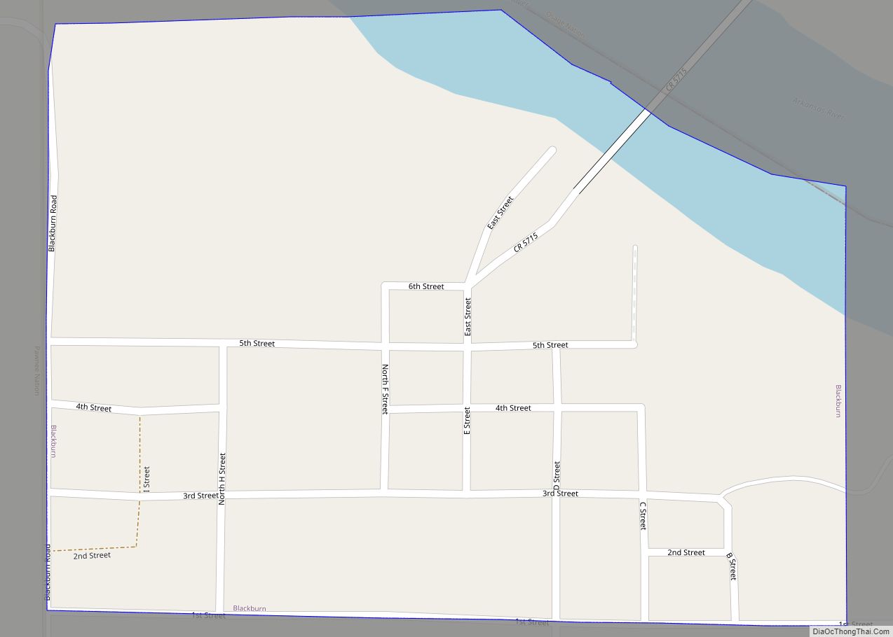
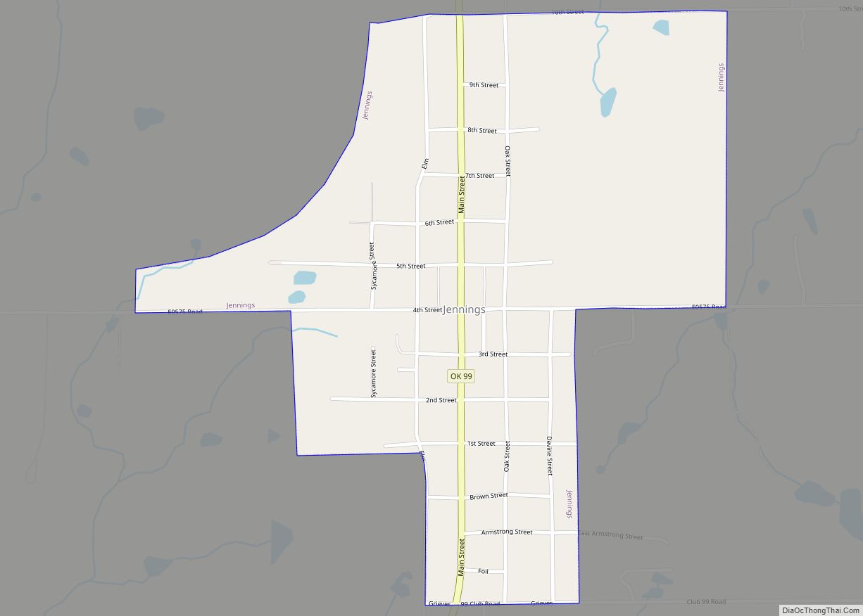
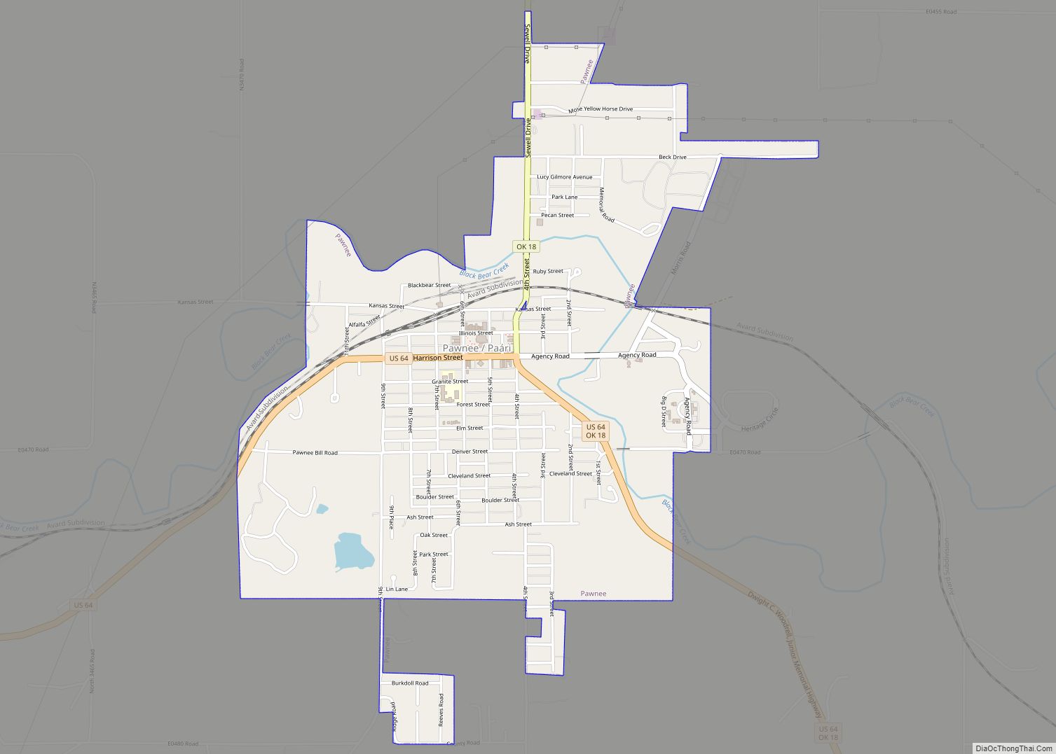
Online Interactive Map
Click on ![]() to view map in "full screen" mode.
to view map in "full screen" mode.
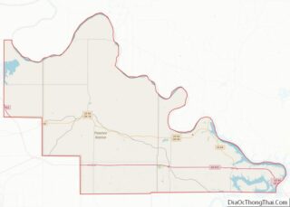
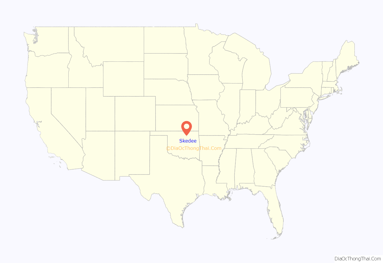
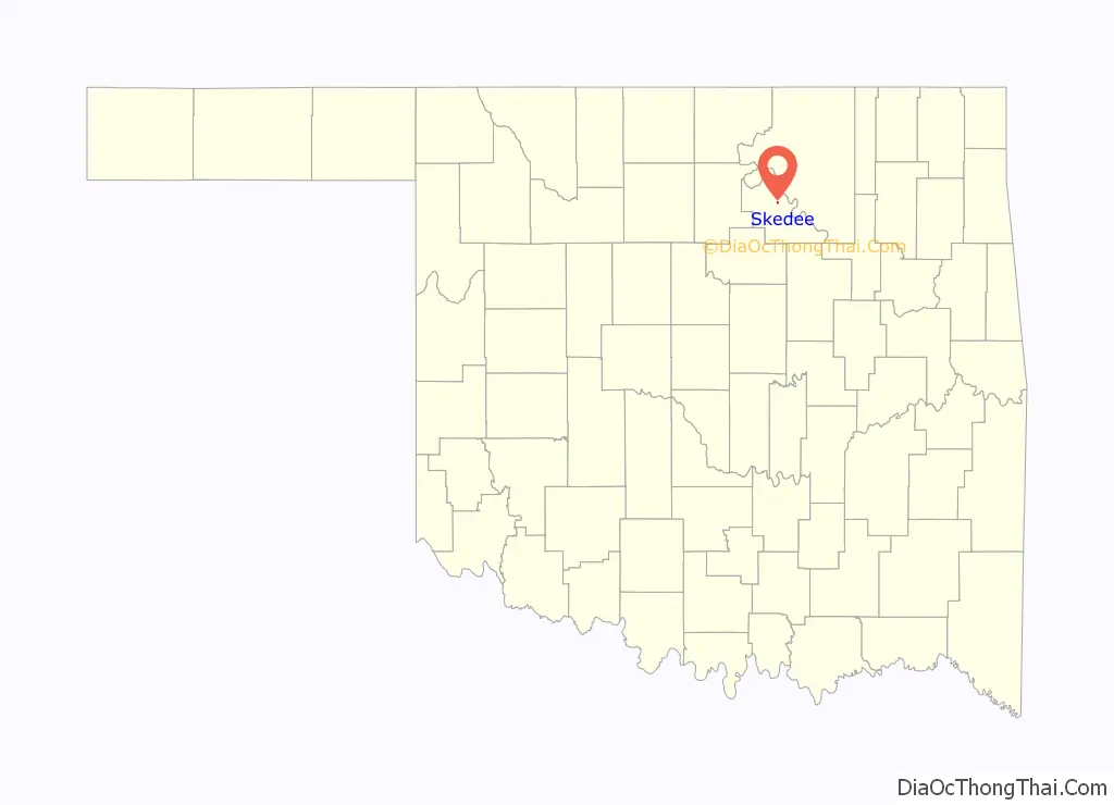
Skedee location map. Where is Skedee town?
History
Skedee was known as “Lemert”, a name which referred to the local landowners, the Lemert family. In 1902, when the post office opened, the town was renamed “Skedee”, after the Skidi Pawnee.
In 1900–1904, the Eastern Oklahoma Railway built a railway line through Skedee. Steam engines stopped at Crystal Creek for water. A cotton gin and a grain elevator were also built.
The rail line was destroyed by flooding in 1957. The Skedee post office later closed in 1963.
In the 21st Century, Skedee has become a commuter town, with employed residents commuting to work in Stillwater and Pawnee.
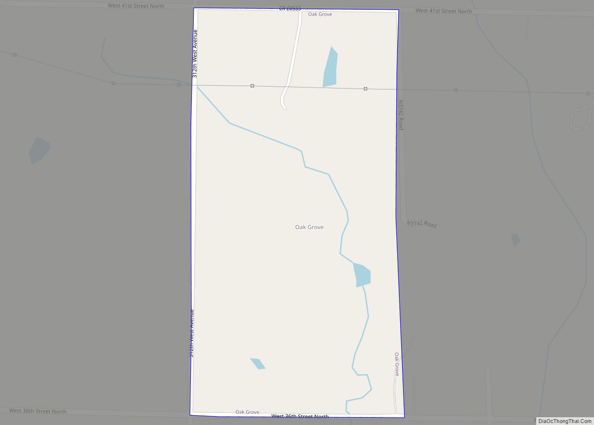
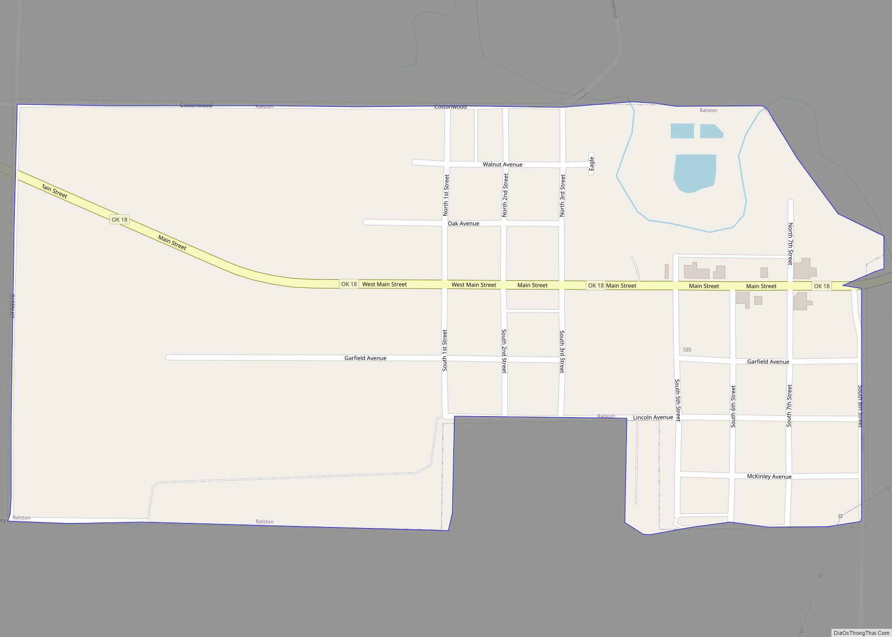
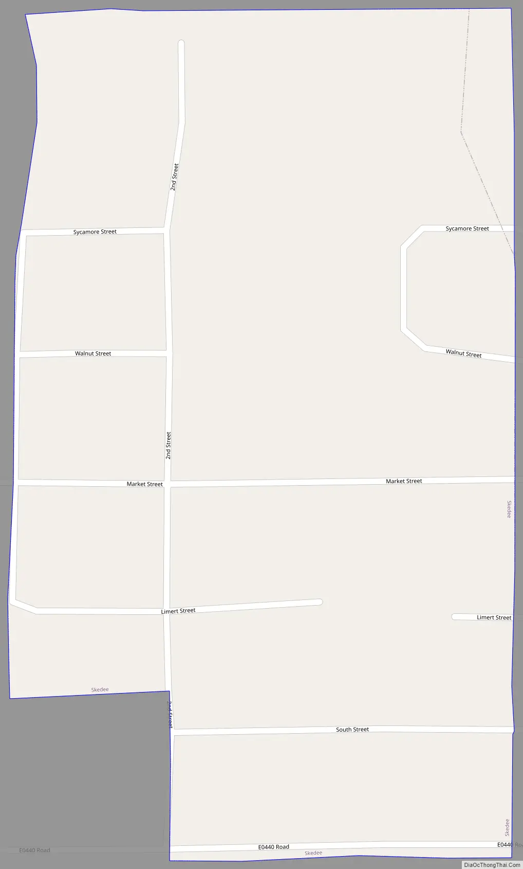
Skedee Road Map
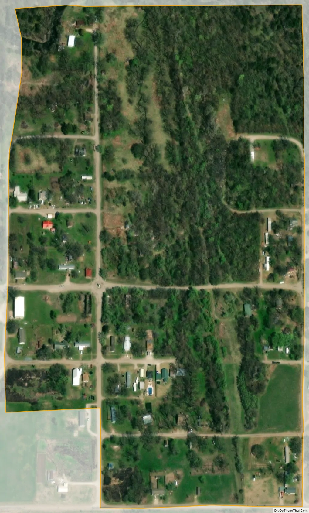
Skedee city Satellite Map
Geography
Skedee is located at 36°22′51″N 96°42′14″W / 36.38083°N 96.70389°W / 36.38083; -96.70389 (36.380892, -96.703911). According to the United States Census Bureau, the town has a total area of 0.1 square miles (0.26 km), all land.
See also
Map of Oklahoma State and its subdivision:- Adair
- Alfalfa
- Atoka
- Beaver
- Beckham
- Blaine
- Bryan
- Caddo
- Canadian
- Carter
- Cherokee
- Choctaw
- Cimarron
- Cleveland
- Coal
- Comanche
- Cotton
- Craig
- Creek
- Custer
- Delaware
- Dewey
- Ellis
- Garfield
- Garvin
- Grady
- Grant
- Greer
- Harmon
- Harper
- Haskell
- Hughes
- Jackson
- Jefferson
- Johnston
- Kay
- Kingfisher
- Kiowa
- Latimer
- Le Flore
- Lincoln
- Logan
- Love
- Major
- Marshall
- Mayes
- McClain
- McCurtain
- McIntosh
- Murray
- Muskogee
- Noble
- Nowata
- Okfuskee
- Oklahoma
- Okmulgee
- Osage
- Ottawa
- Pawnee
- Payne
- Pittsburg
- Pontotoc
- Pottawatomie
- Pushmataha
- Roger Mills
- Rogers
- Seminole
- Sequoyah
- Stephens
- Texas
- Tillman
- Tulsa
- Wagoner
- Washington
- Washita
- Woods
- Woodward
- Alabama
- Alaska
- Arizona
- Arkansas
- California
- Colorado
- Connecticut
- Delaware
- District of Columbia
- Florida
- Georgia
- Hawaii
- Idaho
- Illinois
- Indiana
- Iowa
- Kansas
- Kentucky
- Louisiana
- Maine
- Maryland
- Massachusetts
- Michigan
- Minnesota
- Mississippi
- Missouri
- Montana
- Nebraska
- Nevada
- New Hampshire
- New Jersey
- New Mexico
- New York
- North Carolina
- North Dakota
- Ohio
- Oklahoma
- Oregon
- Pennsylvania
- Rhode Island
- South Carolina
- South Dakota
- Tennessee
- Texas
- Utah
- Vermont
- Virginia
- Washington
- West Virginia
- Wisconsin
- Wyoming