Spiro is a town in Le Flore County, Oklahoma, United States. It is part of the Fort Smith, Arkansas-Oklahoma Metropolitan Statistical Area. The population was 2,164 at the 2010 census, a 2.8 percent decline from the figure of 2,227 recorded in 2000.
Developed as a railroad station in an agricultural area in the late 19th century, the small town is notable for its proximity to the Spiro Mounds. This is a Mississippian culture center that was active from about 900 to 1450 CE that was part of a culture in Eastern Oklahoma and Western Arkansas. Today, the 80-acre site with several earthwork mounds is preserved as Oklahoma’s only State Archeological Park and one of North America’s most important archaeological sites. It is the westernmost site of the expansive Mississippian culture, which had associated centers through the Mississippi and tributary river valleys.
| Name: | Spiro town |
|---|---|
| LSAD Code: | 43 |
| LSAD Description: | town (suffix) |
| State: | Oklahoma |
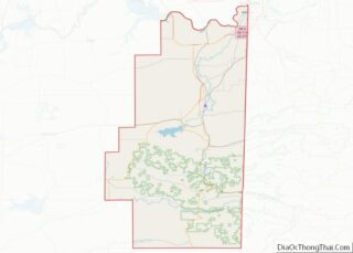
| County: | Le Flore County |
| Elevation: | 492 ft (150 m) |
| Total Area: | 2.43 sq mi (6.30 km²) |
| Land Area: | 2.35 sq mi (6.08 km²) |
| Water Area: | 0.09 sq mi (0.22 km²) |
| Total Population: | 2,102 |
| Population Density: | 895.23/sq mi (345.62/km²) |
| ZIP code: | 74959 |
| Area code: | 539/918 |
| FIPS code: | 4069350 |
| GNISfeature ID: | 1098363 |
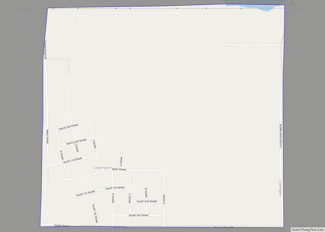
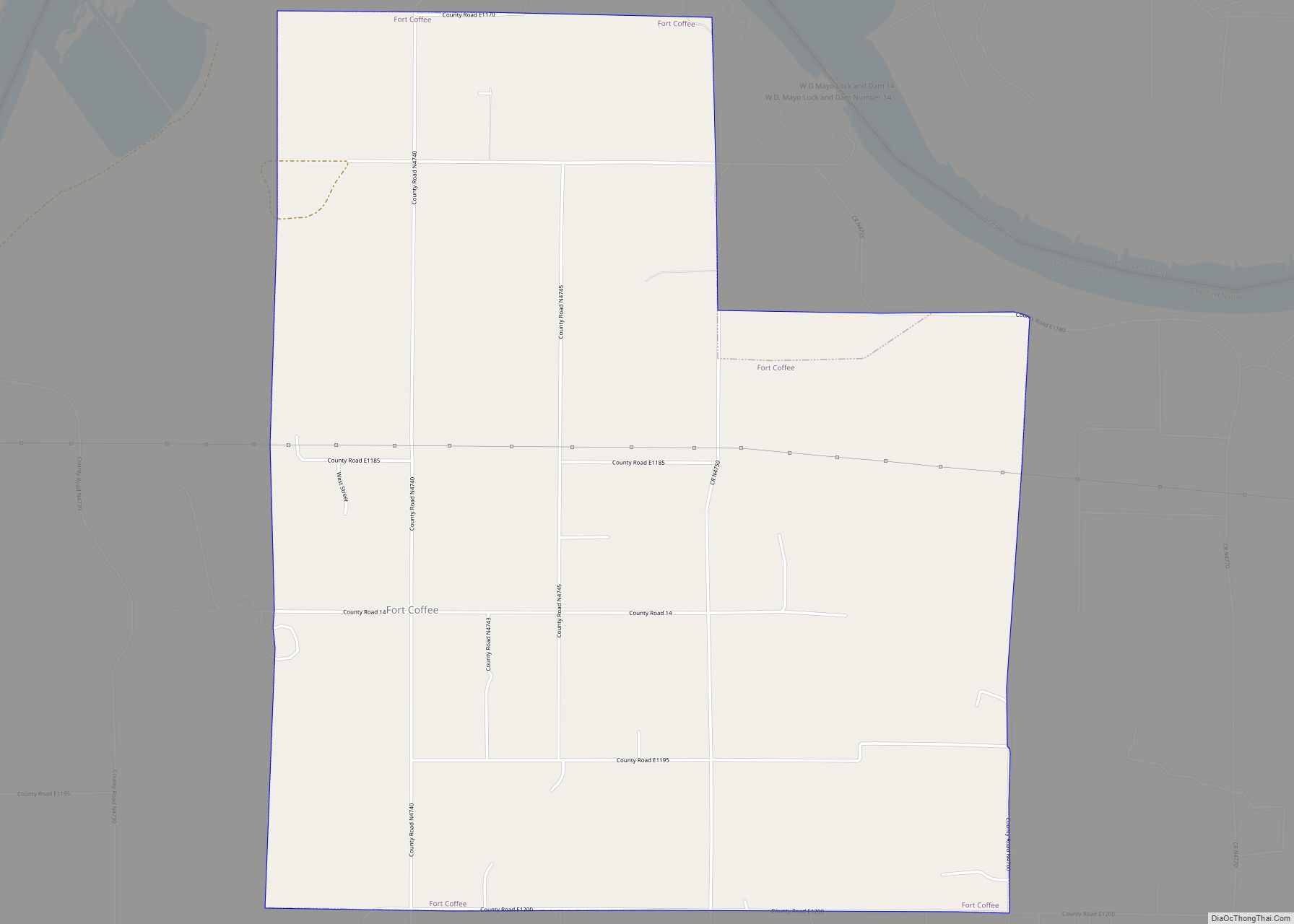
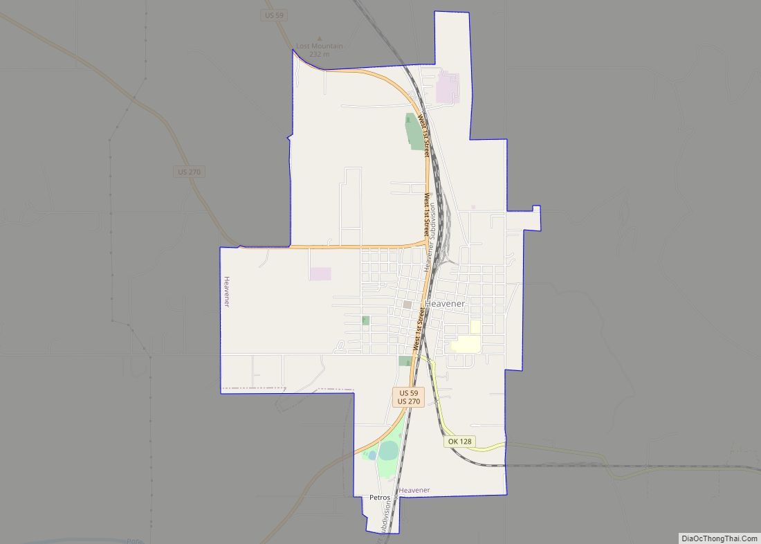
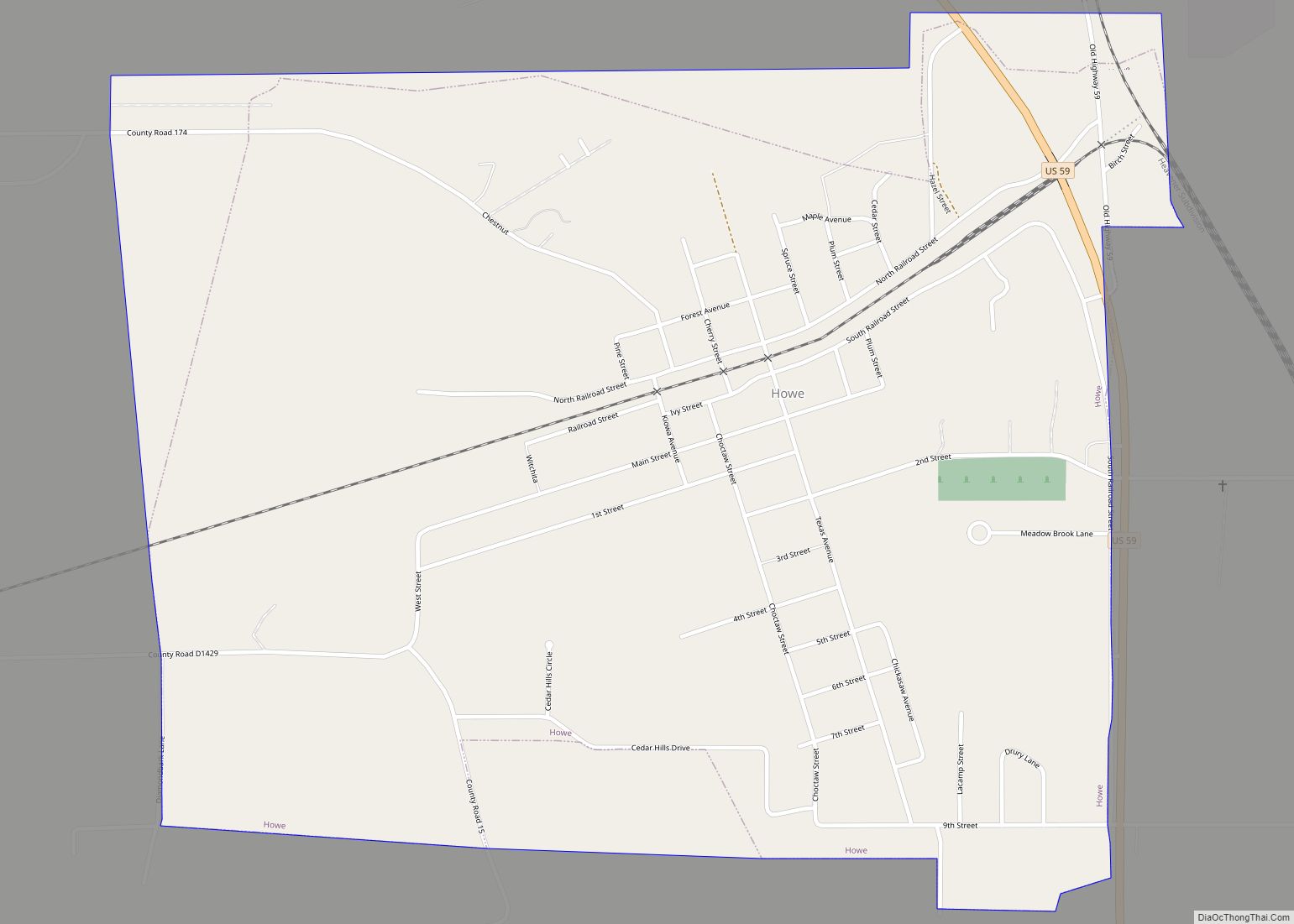
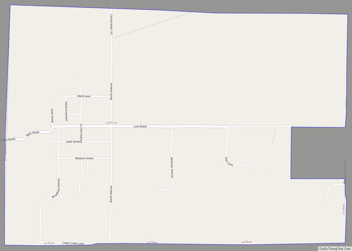
Online Interactive Map
Click on ![]() to view map in "full screen" mode.
to view map in "full screen" mode.
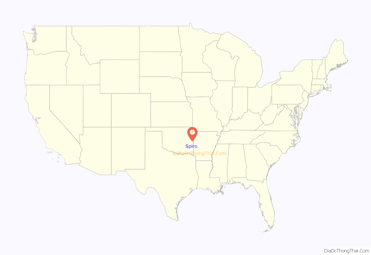
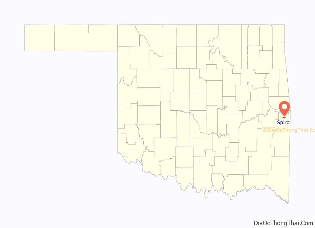
Spiro location map. Where is Spiro town?
History
In 1895 and 1896, the Kansas City, Pittsburg and Gulf Railroad (later owned by the Kansas City Southern Railroad) established a station at the present site of Spiro, which connected the area to the city of Fort Smith, Arkansas. This railroad access attracted residents from the nearby town of Skullyville, and Spiro soon developed as the principal town in this area. The town population was 543 in 1900.
A post office was established at Spiro, Indian Territory on September 21, 1898. At the time of its founding, Spiro was located in Skullyville County, a part of the Moshulatubbee District of the Choctaw Nation.
Several accounts differ as to how the post office was named. One claims that Spiro was the maiden name of the first postmistress. Another claims it was the maiden name of the mother of a Fort Smith banker. According to the Oklahoma Historical Society, Spiro was named after Celia Spiro, wife of an Oklahoma banker, Iser H Nakdimen. He founded the City National Bank in Ft. Smith, Arkansas and the First National Bank in Muldrow, Oklahoma.
Cotton was an important cash crop. In 1901, Spiro had three cotton yards and one cotton gin. By 1910, there were three cotton gins and the population had grown to 1,173. As cotton cultivation became more mechanized, labor needs declined. The Great Depression of the 1930s took the heart out of the market. Timber harvesting and processing and livestock became important industries in the region. The population declined to 969 in 1930, as agricultural workers migrated to other areas for jobs. It rebounded to 1,365 by 1950 as the economy grew.
On March 26, 1976, the town was struck by an F5 tornado, the highest level on the Fujita scale, resulting in two deaths. The town was again hit by a tornado on April 21, 1996 as the storm moved across the Sunset Corners area and eastward through the town center, however the storm resulted in no deaths in Spiro although 4 people were killed as the storm moved into Arkansas.
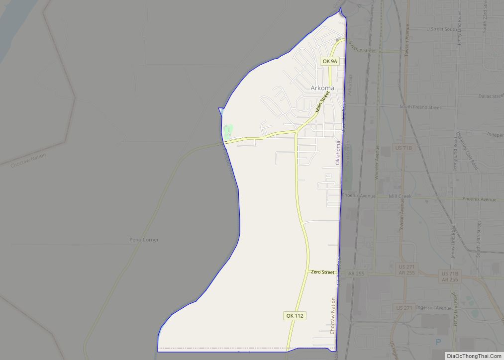
Spiro Road Map
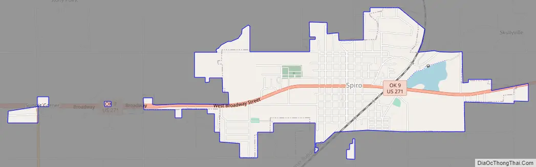
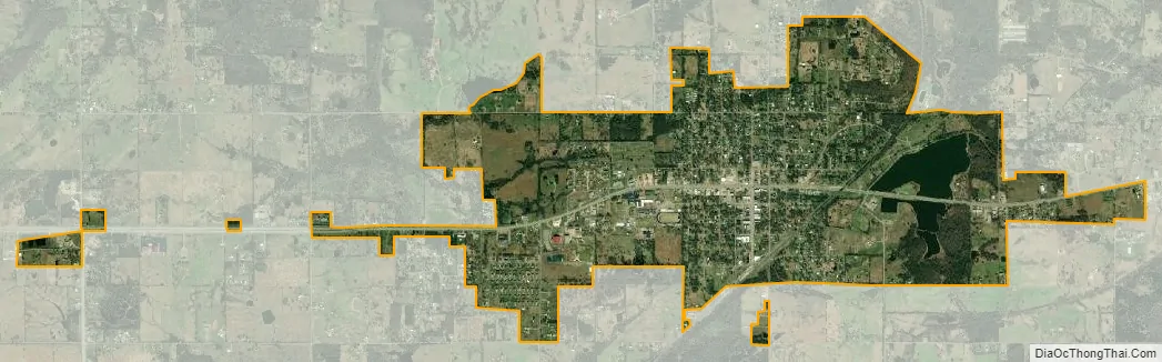
Spiro city Satellite Map
Geography
Spiro is located 3 miles (4.8 km) south of the Arkansas River, 17 miles (27 km) southwest of Fort Smith, Arkansas and 10 miles (16 km) west of the Oklahoma-Arkansas border.
According to the United States Census Bureau, the town has a total area of 2.2 square miles (5.7 km), of which 2.1 square miles (5.4 km) is land and 0.1 square miles (0.26 km) (3.18%) is water.
See also
Map of Oklahoma State and its subdivision:- Adair
- Alfalfa
- Atoka
- Beaver
- Beckham
- Blaine
- Bryan
- Caddo
- Canadian
- Carter
- Cherokee
- Choctaw
- Cimarron
- Cleveland
- Coal
- Comanche
- Cotton
- Craig
- Creek
- Custer
- Delaware
- Dewey
- Ellis
- Garfield
- Garvin
- Grady
- Grant
- Greer
- Harmon
- Harper
- Haskell
- Hughes
- Jackson
- Jefferson
- Johnston
- Kay
- Kingfisher
- Kiowa
- Latimer
- Le Flore
- Lincoln
- Logan
- Love
- Major
- Marshall
- Mayes
- McClain
- McCurtain
- McIntosh
- Murray
- Muskogee
- Noble
- Nowata
- Okfuskee
- Oklahoma
- Okmulgee
- Osage
- Ottawa
- Pawnee
- Payne
- Pittsburg
- Pontotoc
- Pottawatomie
- Pushmataha
- Roger Mills
- Rogers
- Seminole
- Sequoyah
- Stephens
- Texas
- Tillman
- Tulsa
- Wagoner
- Washington
- Washita
- Woods
- Woodward
- Alabama
- Alaska
- Arizona
- Arkansas
- California
- Colorado
- Connecticut
- Delaware
- District of Columbia
- Florida
- Georgia
- Hawaii
- Idaho
- Illinois
- Indiana
- Iowa
- Kansas
- Kentucky
- Louisiana
- Maine
- Maryland
- Massachusetts
- Michigan
- Minnesota
- Mississippi
- Missouri
- Montana
- Nebraska
- Nevada
- New Hampshire
- New Jersey
- New Mexico
- New York
- North Carolina
- North Dakota
- Ohio
- Oklahoma
- Oregon
- Pennsylvania
- Rhode Island
- South Carolina
- South Dakota
- Tennessee
- Texas
- Utah
- Vermont
- Virginia
- Washington
- West Virginia
- Wisconsin
- Wyoming