Stratford is a town in Garvin County, Oklahoma, United States. Prior to Oklahoma statehood in 1907, the town existed under different names and was in the Chickasaw Nation in a geographic region known as Indian Territory. Peach orchards abound in and around the town. The population was 1,525 at the 2010 census.
| Name: | Stratford town |
|---|---|
| LSAD Code: | 43 |
| LSAD Description: | town (suffix) |
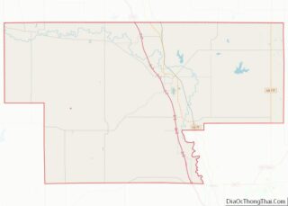
| State: | Oklahoma |
| County: | Garvin County |
| Elevation: | 1,119 ft (341 m) |
| Total Area: | 1.02 sq mi (2.63 km²) |
| Land Area: | 1.01 sq mi (2.62 km²) |
| Water Area: | 0.01 sq mi (0.01 km²) |
| Total Population: | 1,405 |
| Population Density: | 1,389.71/sq mi (536.60/km²) |
| ZIP code: | 74872 |
| Area code: | 580 |
| FIPS code: | 4070800 |
| GNISfeature ID: | 1098579 |
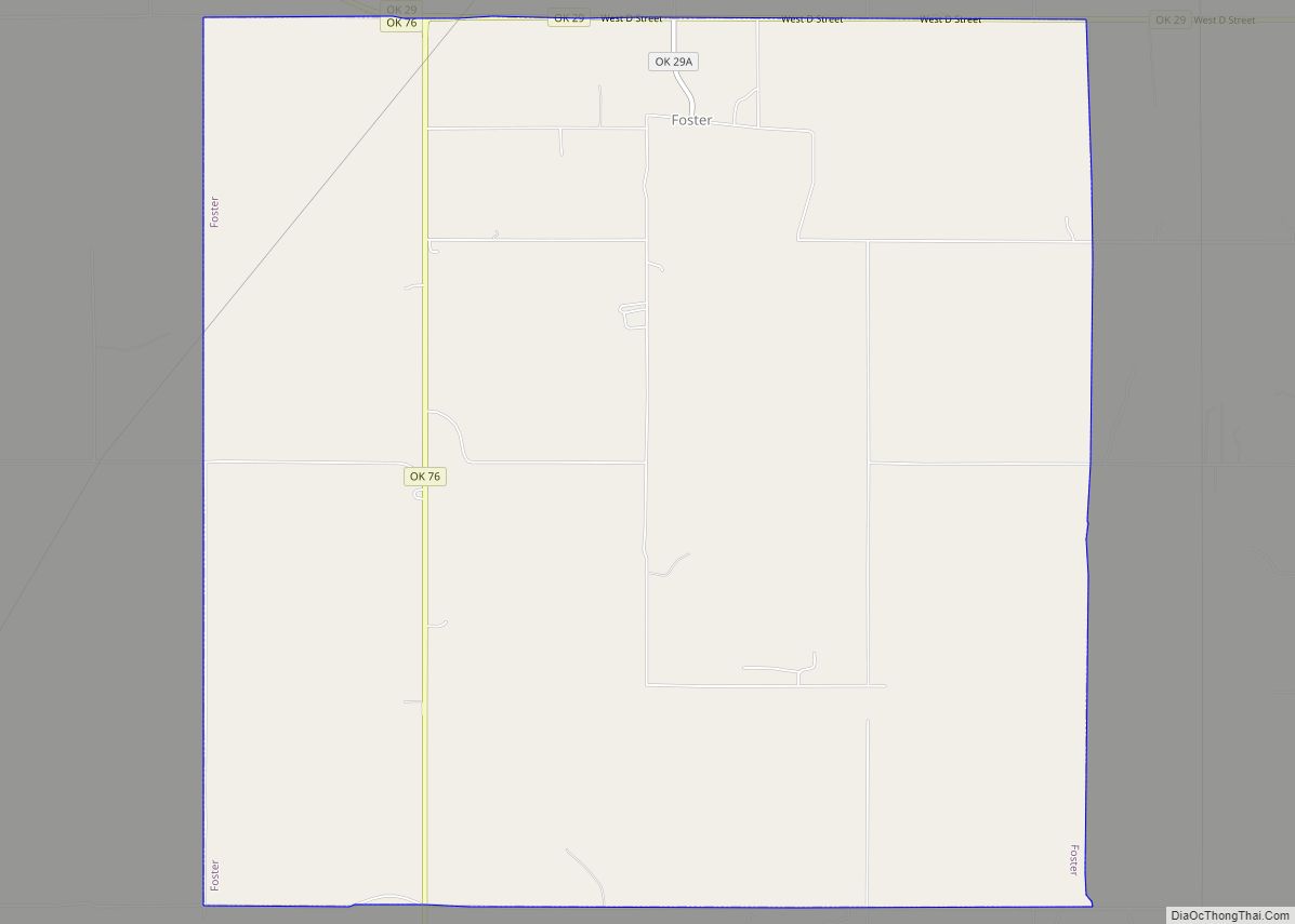
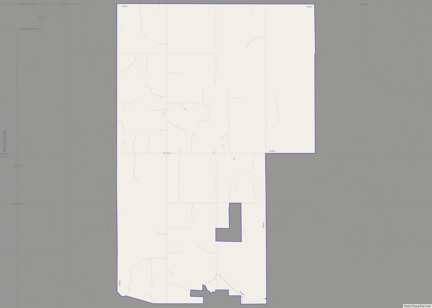
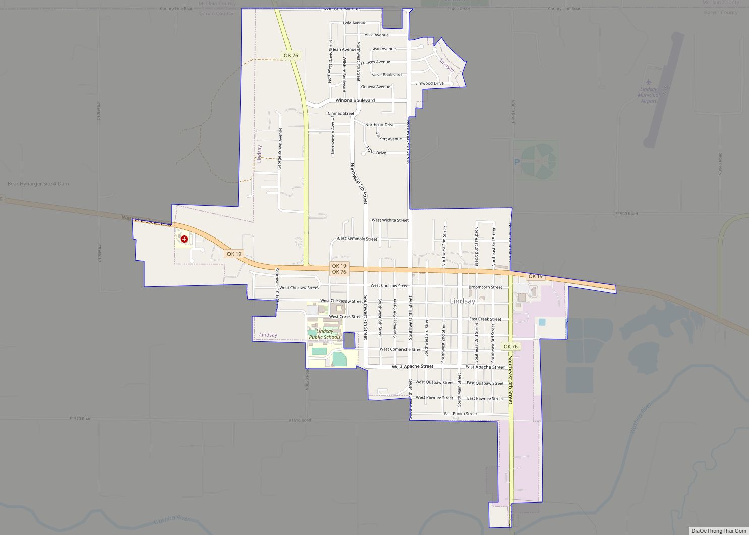
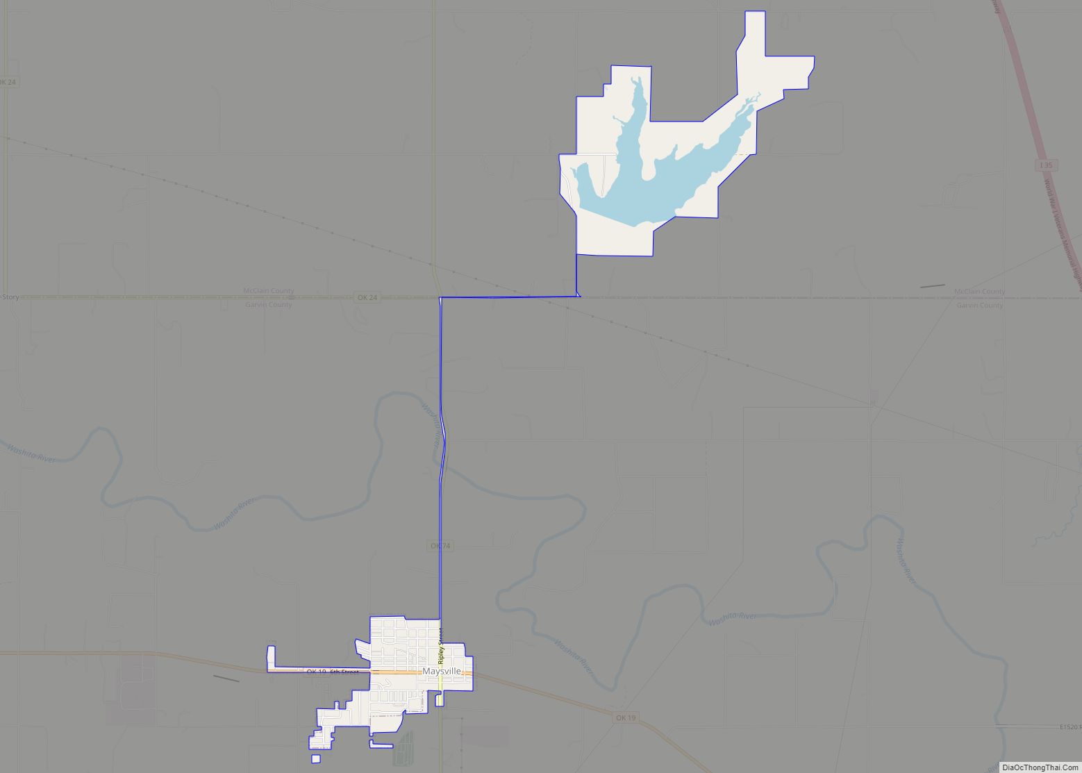
Online Interactive Map
Click on ![]() to view map in "full screen" mode.
to view map in "full screen" mode.
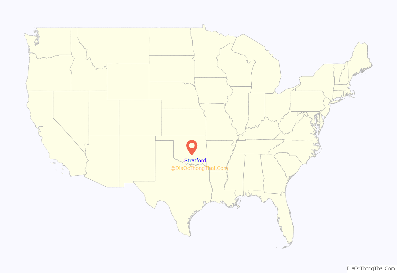
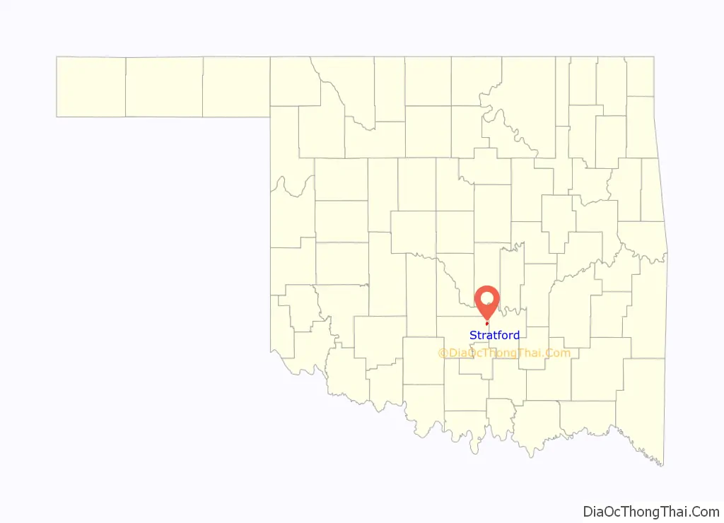
Stratford location map. Where is Stratford town?
History
Stratford was originally the town of McGee, which was established in 1891. At the time, it was part of Pickens County, Chickasaw Nation in an unorganized geographic region of the United States known as Indian Territory In 1906 the Oklahoma Central Railroad built the railroad two miles south of McGee. The town placed its buildings on wagons and wheeled them down to the train tracks. The new town was first named Walling, but by October 1906 the name was changed to Stratford. Stratford is known as the Peach Capital of the World and holds its Peach Festival, annual rodeo, and car show the third Saturday each July. The festival has been held since 1976, while the rodeo dates back to 1936.
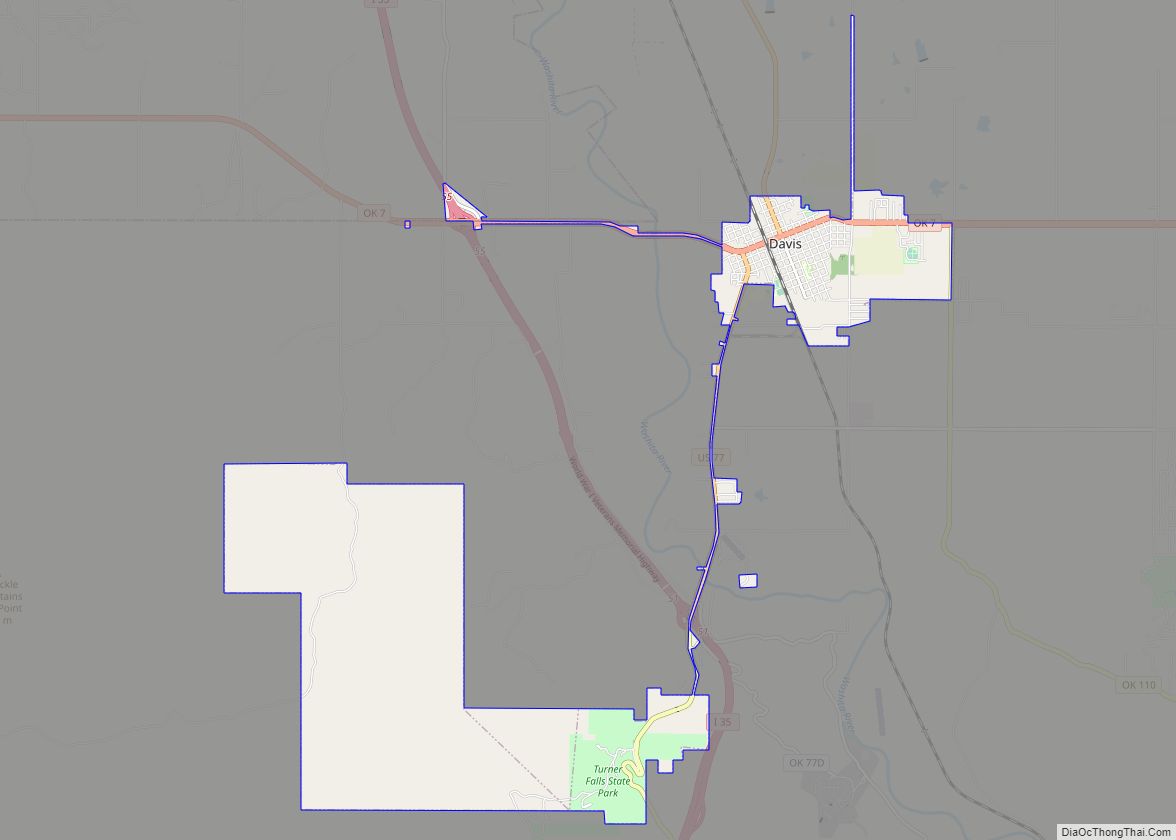
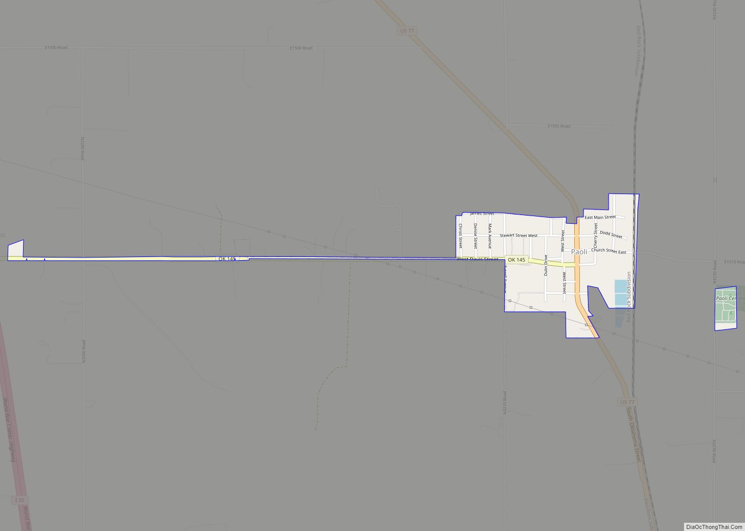
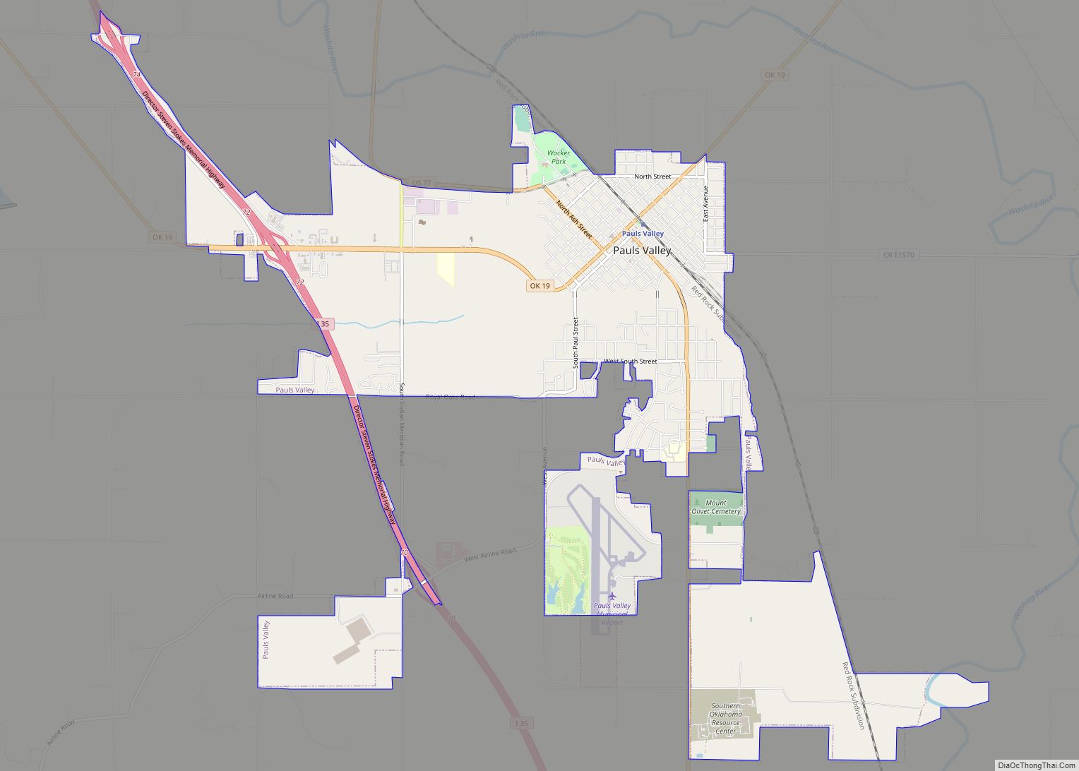
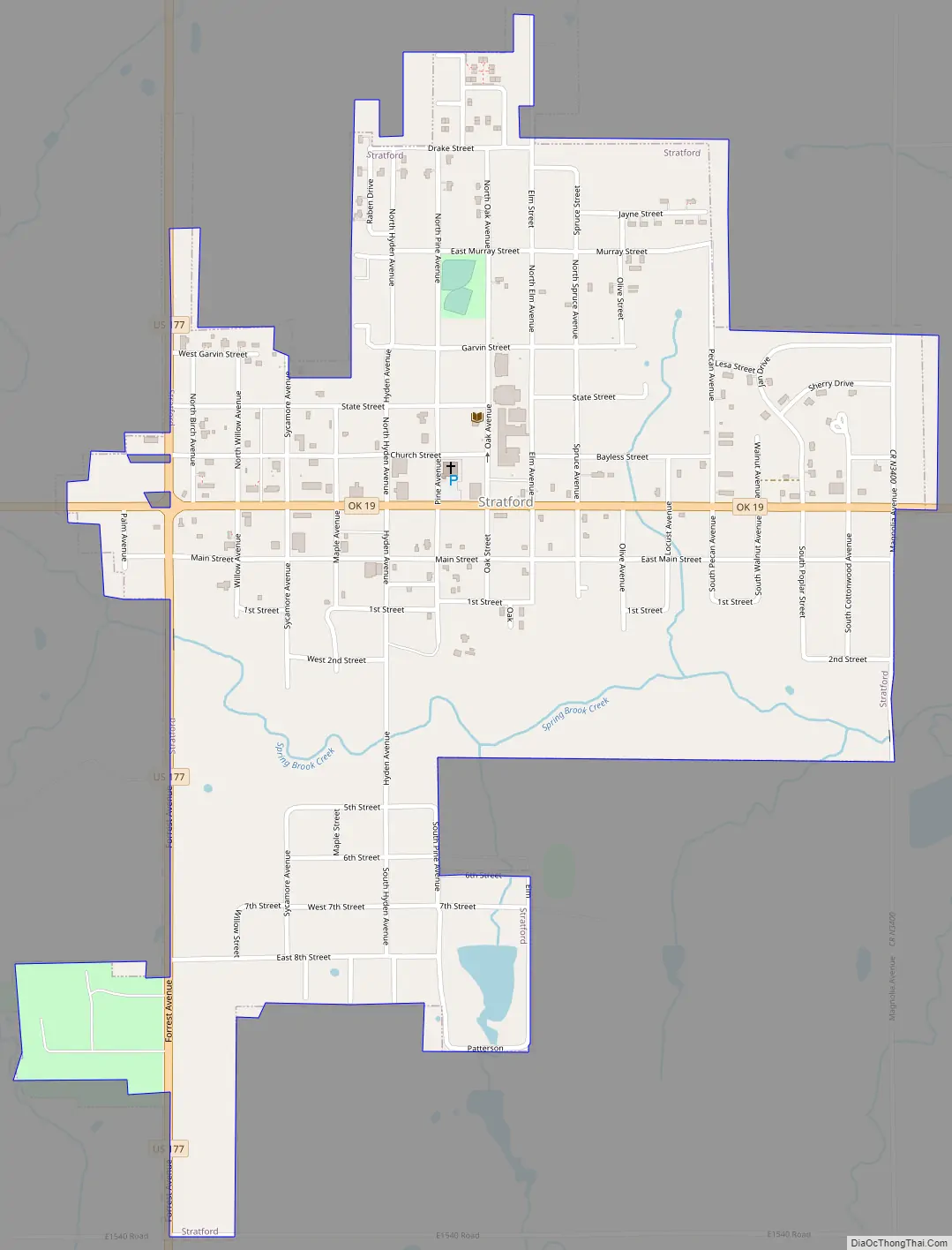
Stratford Road Map
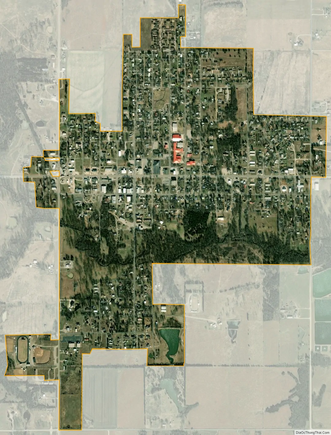
Stratford city Satellite Map
Geography
Stratford is situated approximately halfway between Pauls Valley and Ada along State Highway 19, where it intersects U.S. Highway 177. Its geographic coordinates are 34°47′46″N 96°57′37″W / 34.79611°N 96.96028°W / 34.79611; -96.96028 (34.796077, -96.960342).
According to the United States Census Bureau, the town has a total area of 1.0 square mile (2.6 km), all land.
Stratford lies in a part of Oklahoma known for hills of 250 to 400 feet (120 m), oak forests and flat, fertile plains. There are more than 400 acres of peach orchards in and around the town.
Stratford has frequent variations in weather daily and seasonally, except during the consistently hot summer months. Consistent winds during the summer help temper the hotter weather. Consistent northerly winds during the winter can intensify cold periods.
See also
Map of Oklahoma State and its subdivision:- Adair
- Alfalfa
- Atoka
- Beaver
- Beckham
- Blaine
- Bryan
- Caddo
- Canadian
- Carter
- Cherokee
- Choctaw
- Cimarron
- Cleveland
- Coal
- Comanche
- Cotton
- Craig
- Creek
- Custer
- Delaware
- Dewey
- Ellis
- Garfield
- Garvin
- Grady
- Grant
- Greer
- Harmon
- Harper
- Haskell
- Hughes
- Jackson
- Jefferson
- Johnston
- Kay
- Kingfisher
- Kiowa
- Latimer
- Le Flore
- Lincoln
- Logan
- Love
- Major
- Marshall
- Mayes
- McClain
- McCurtain
- McIntosh
- Murray
- Muskogee
- Noble
- Nowata
- Okfuskee
- Oklahoma
- Okmulgee
- Osage
- Ottawa
- Pawnee
- Payne
- Pittsburg
- Pontotoc
- Pottawatomie
- Pushmataha
- Roger Mills
- Rogers
- Seminole
- Sequoyah
- Stephens
- Texas
- Tillman
- Tulsa
- Wagoner
- Washington
- Washita
- Woods
- Woodward
- Alabama
- Alaska
- Arizona
- Arkansas
- California
- Colorado
- Connecticut
- Delaware
- District of Columbia
- Florida
- Georgia
- Hawaii
- Idaho
- Illinois
- Indiana
- Iowa
- Kansas
- Kentucky
- Louisiana
- Maine
- Maryland
- Massachusetts
- Michigan
- Minnesota
- Mississippi
- Missouri
- Montana
- Nebraska
- Nevada
- New Hampshire
- New Jersey
- New Mexico
- New York
- North Carolina
- North Dakota
- Ohio
- Oklahoma
- Oregon
- Pennsylvania
- Rhode Island
- South Carolina
- South Dakota
- Tennessee
- Texas
- Utah
- Vermont
- Virginia
- Washington
- West Virginia
- Wisconsin
- Wyoming