Tullahassee is a town in Wagoner County, Oklahoma, United States. The population was 106 in both the 2010 and the 2000 censuses. It was the location of Tullahassee Mission, an Indian boarding school that burned in 1880. Because their population in the community had declined, the Muscogee Creek gave the school to Creek Freedmen, paying to replace the main building, and relocated with their families to the area of Wealaka Mission.
Tullahassee is considered the oldest of the surviving all-black towns in former Indian Territory. By 1880 Creek Freedmen and their descendants dominated the community population.
| Name: | Tullahassee town |
|---|---|
| LSAD Code: | 43 |
| LSAD Description: | town (suffix) |
| State: | Oklahoma |
| County: | Wagoner County |
| Elevation: | 620 ft (189 m) |
| Total Area: | 1.82 sq mi (4.71 km²) |
| Land Area: | 1.82 sq mi (4.71 km²) |
| Water Area: | 0.00 sq mi (0.00 km²) |
| Total Population: | 83 |
| Population Density: | 45.65/sq mi (17.63/km²) |
| ZIP code: | 74454 |
| Area code: | 539/918 |
| FIPS code: | 4074650 |
| GNISfeature ID: | 1099007 |
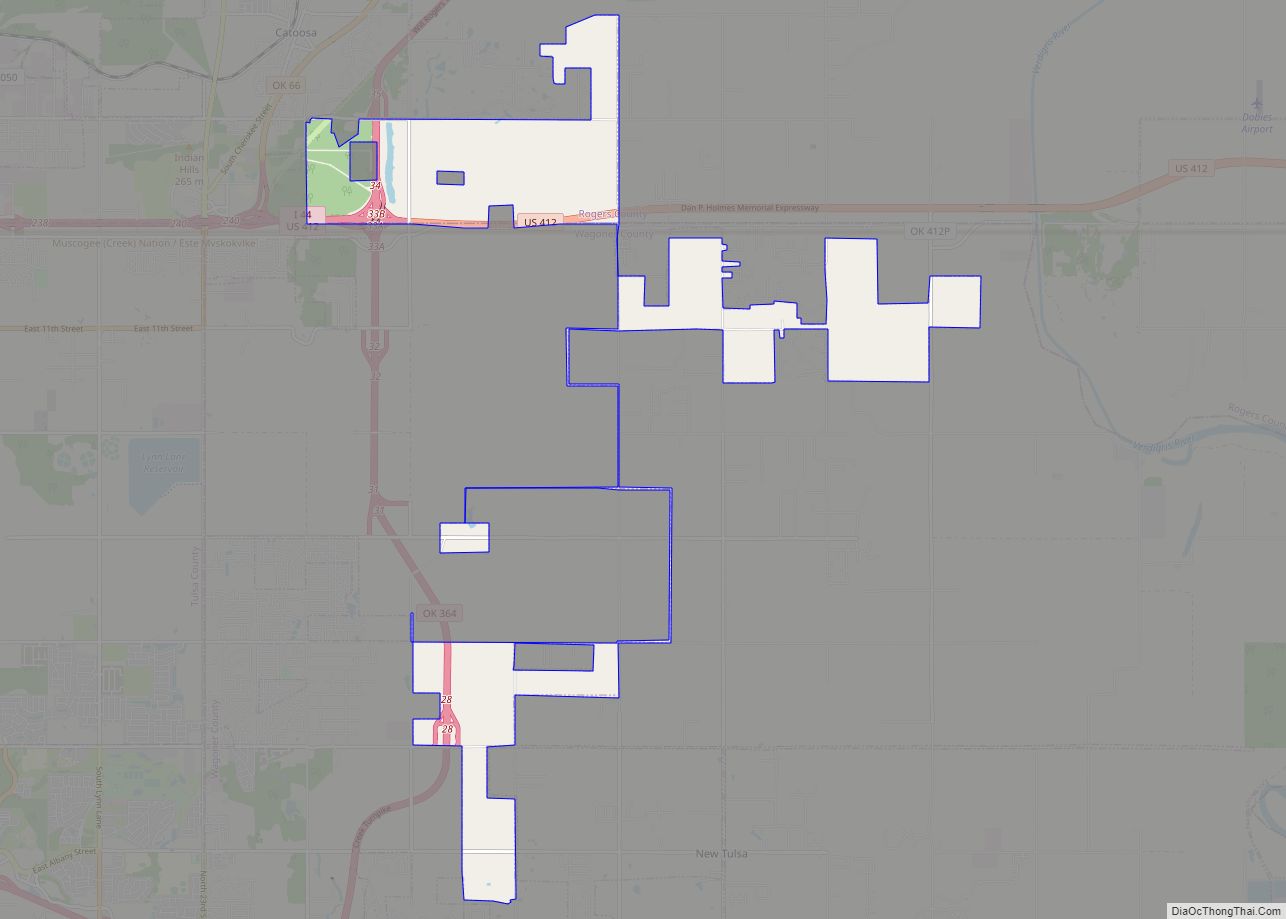
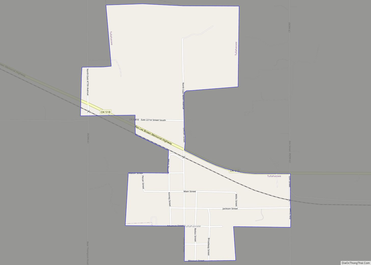
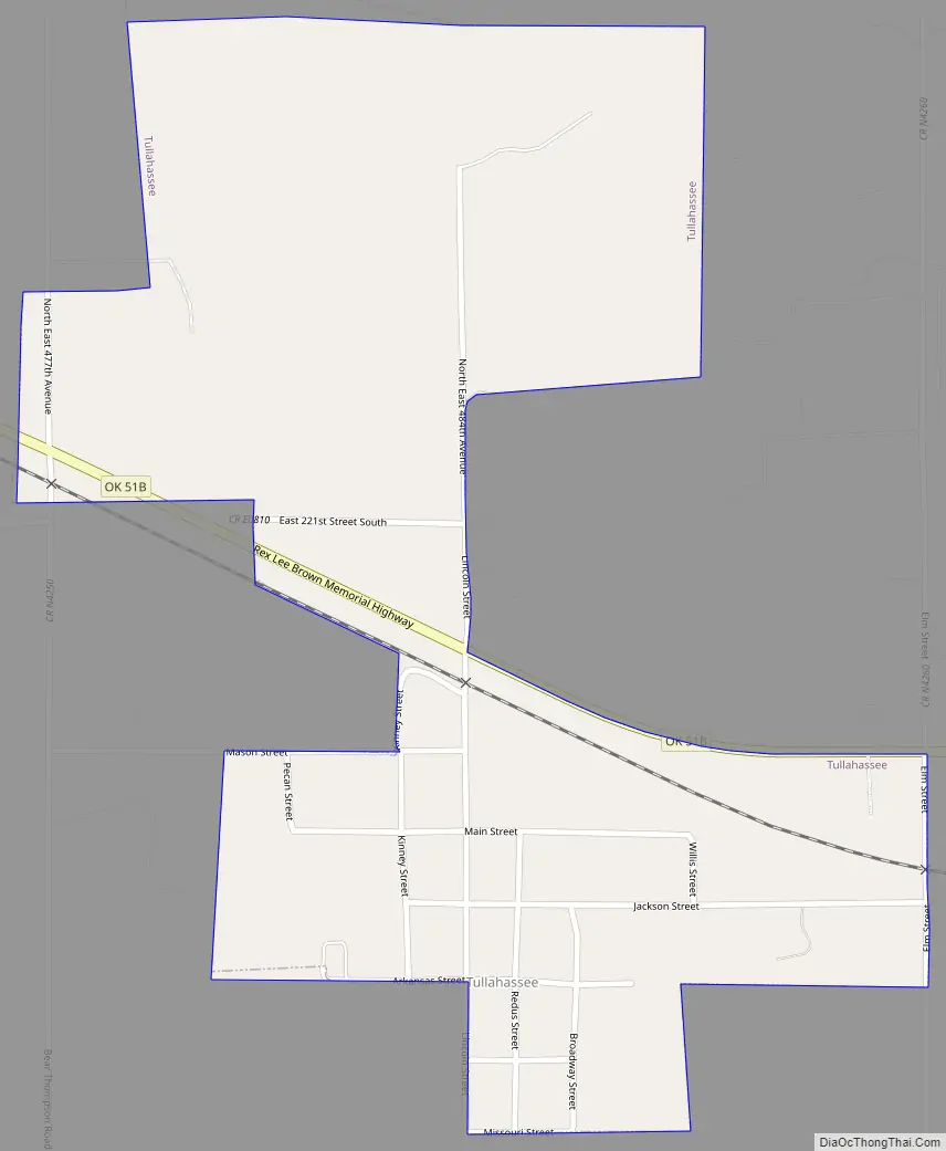
Online Interactive Map
Click on ![]() to view map in "full screen" mode.
to view map in "full screen" mode.
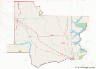
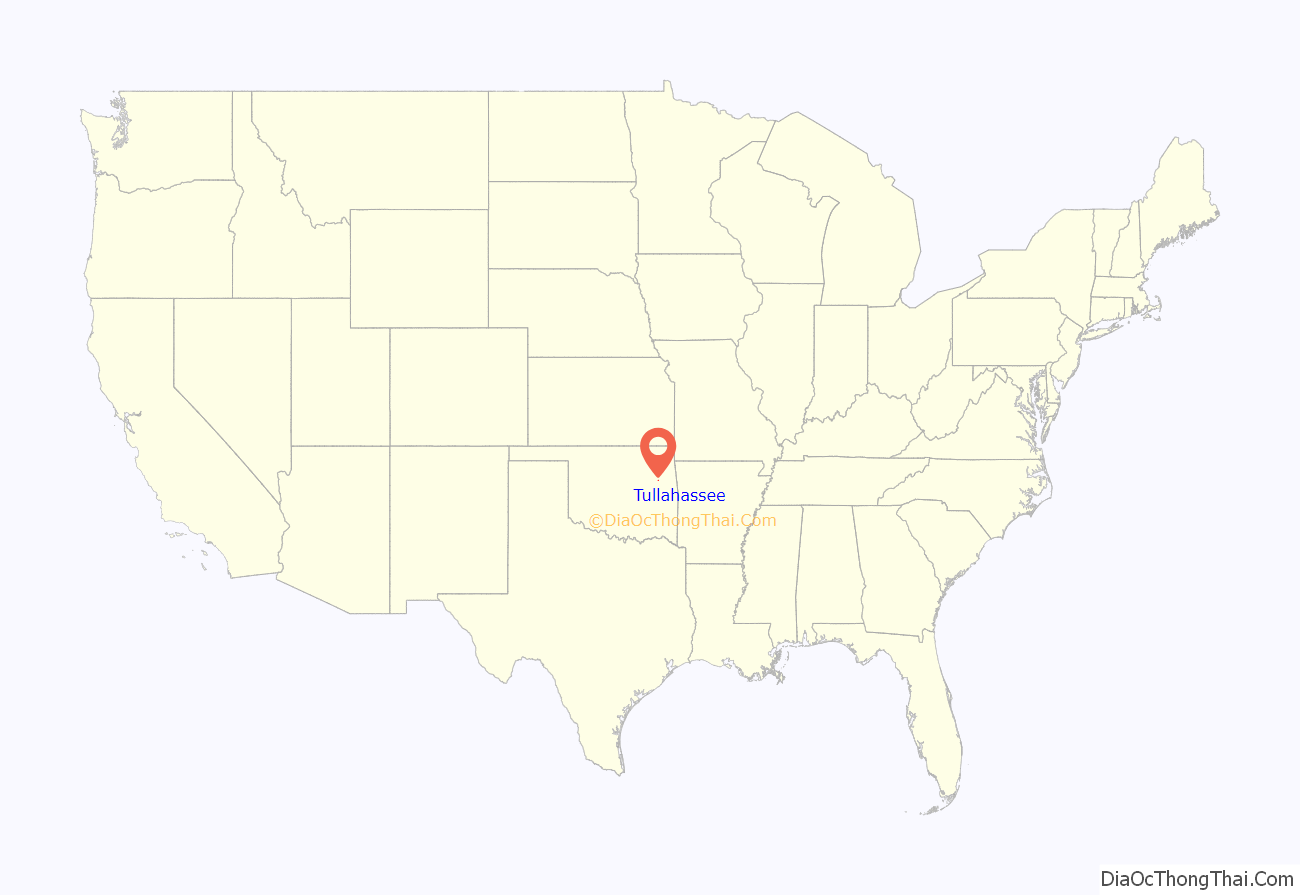
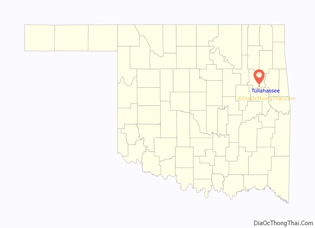
Tullahassee location map. Where is Tullahassee town?
History
The town began in 1850, when the Creek Nation approved the Tullahassee Mission School at this site on the Texas Road. It was founded by Robert McGill Loughridge, a Presbyterian minister who had been serving in the Creek Nation since 1843 and had founded another mission that year.
In the years before the Emancipation Proclamation, many Creek citizens of the town had Black slaves. In the early 1880s, the population of freedmen had increased in the area, while the number of Muscogee Creek had declined. The freedmen were formerly enslaved African Americans and their descendants who were emancipated and granted citizenship in the Creek Nation after the American Civil War. Some also had Creek ancestry.
After a destructive fire at the school, the Creek Council decided to relocate most of their people, and transferred the Creek children to Wealaka Mission. They gave the school and community of Tullahassee to the freedmen in 1881. The Creek paid to have the school’s main building replaced.
The residents opened a post office in 1899, and the town was incorporated in 1902. The Tullahassee Town Site Company was established to aid developing the town, and it both platted the town in 1907 and recruited black residents from throughout the post-Reconstruction South, where Jim Crow oppression was increasing. A. J. Mason served as president and L. C. Hardridge as secretary. This is now the oldest of the 13 surviving all-Black towns in the state, which were established during the period of Indian Territory. At one time there were 50 all-black towns.
The A. J. Mason Building is listed in the National Register of Historic Places (NR 85001743). Carter G. Woodson School, named for a prominent black historian, is listed in the Oklahoma Landmarks Inventory, and noted for its link to African-American history.
In 1914, the African Methodist Episcopal Church (AME) opened Flipper-Key-Davis College, also called Flipper-Davis, in the former Tullahassee Mission building. It was a period when private, municipal and state junior colleges were being founded. Flipper-Davis College was then the only private, higher-level education institution for African Americans in Oklahoma. This junior college closed in 1935 during the Great Depression.
In June 2021, Tullahassee Mayor Keisha Cullin was one of 11 mayors to form MORE (Mayors Organized for Reparations and Equity), a coalition of mayors who promised to create reparation pilot programs in their municipalities. Other members of MORE included the mayors of such large cities as Los Angeles, Denver, Sacramento, and Kansas City, Missouri.
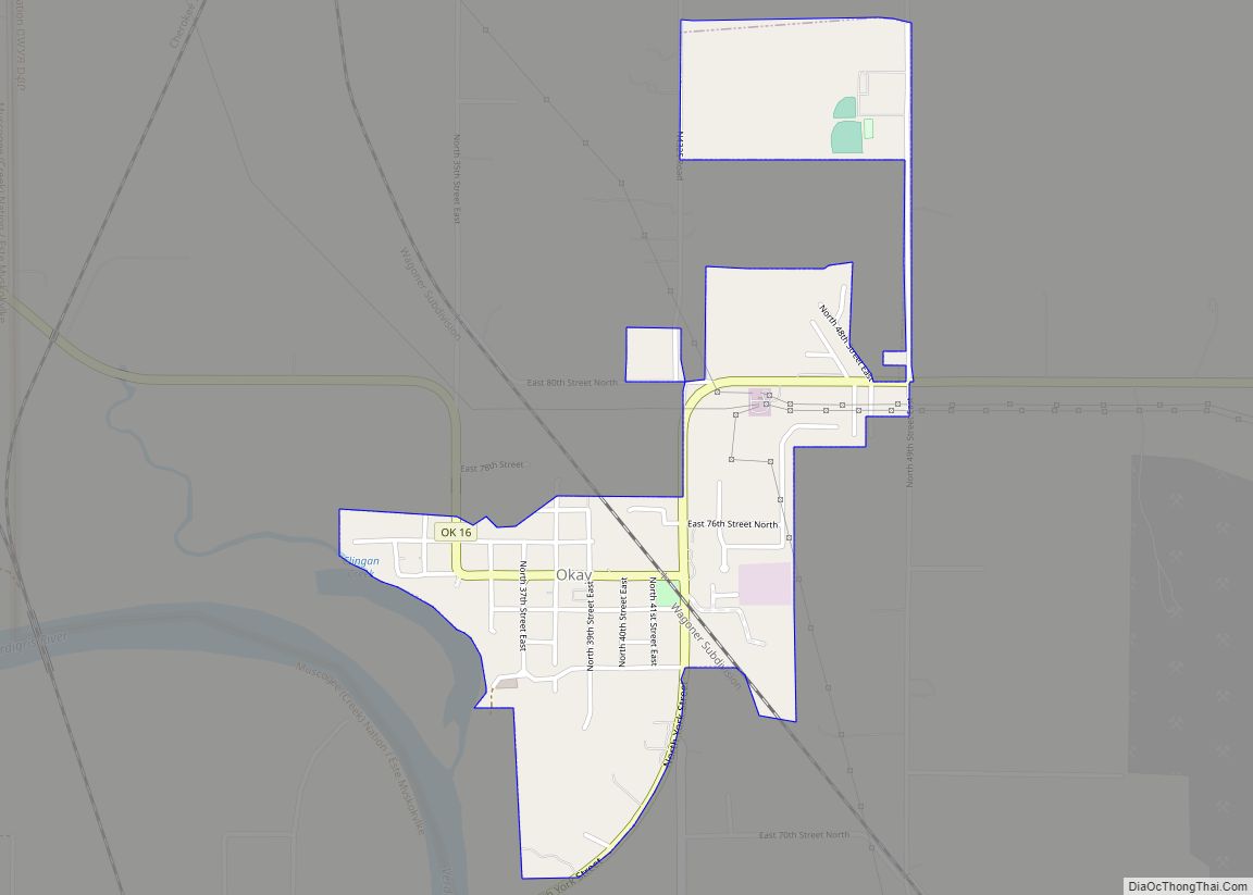
Tullahassee Road Map
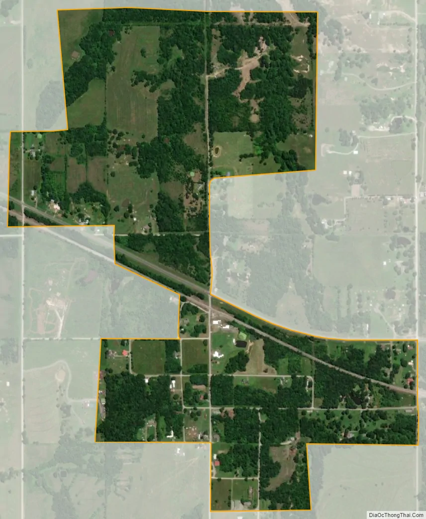
Tullahassee city Satellite Map
Geography
Tullahassee is located at 35°50′16″N 95°26′21″W / 35.83778°N 95.43917°W / 35.83778; -95.43917 (35.837758, -95.439295). It is 5 miles (8.0 km) northwest of Muskogee.
According to the United States Census Bureau, the town has a total area of 0.5 square miles (1.3 km), all land.
See also
Map of Oklahoma State and its subdivision:- Adair
- Alfalfa
- Atoka
- Beaver
- Beckham
- Blaine
- Bryan
- Caddo
- Canadian
- Carter
- Cherokee
- Choctaw
- Cimarron
- Cleveland
- Coal
- Comanche
- Cotton
- Craig
- Creek
- Custer
- Delaware
- Dewey
- Ellis
- Garfield
- Garvin
- Grady
- Grant
- Greer
- Harmon
- Harper
- Haskell
- Hughes
- Jackson
- Jefferson
- Johnston
- Kay
- Kingfisher
- Kiowa
- Latimer
- Le Flore
- Lincoln
- Logan
- Love
- Major
- Marshall
- Mayes
- McClain
- McCurtain
- McIntosh
- Murray
- Muskogee
- Noble
- Nowata
- Okfuskee
- Oklahoma
- Okmulgee
- Osage
- Ottawa
- Pawnee
- Payne
- Pittsburg
- Pontotoc
- Pottawatomie
- Pushmataha
- Roger Mills
- Rogers
- Seminole
- Sequoyah
- Stephens
- Texas
- Tillman
- Tulsa
- Wagoner
- Washington
- Washita
- Woods
- Woodward
- Alabama
- Alaska
- Arizona
- Arkansas
- California
- Colorado
- Connecticut
- Delaware
- District of Columbia
- Florida
- Georgia
- Hawaii
- Idaho
- Illinois
- Indiana
- Iowa
- Kansas
- Kentucky
- Louisiana
- Maine
- Maryland
- Massachusetts
- Michigan
- Minnesota
- Mississippi
- Missouri
- Montana
- Nebraska
- Nevada
- New Hampshire
- New Jersey
- New Mexico
- New York
- North Carolina
- North Dakota
- Ohio
- Oklahoma
- Oregon
- Pennsylvania
- Rhode Island
- South Carolina
- South Dakota
- Tennessee
- Texas
- Utah
- Vermont
- Virginia
- Washington
- West Virginia
- Wisconsin
- Wyoming