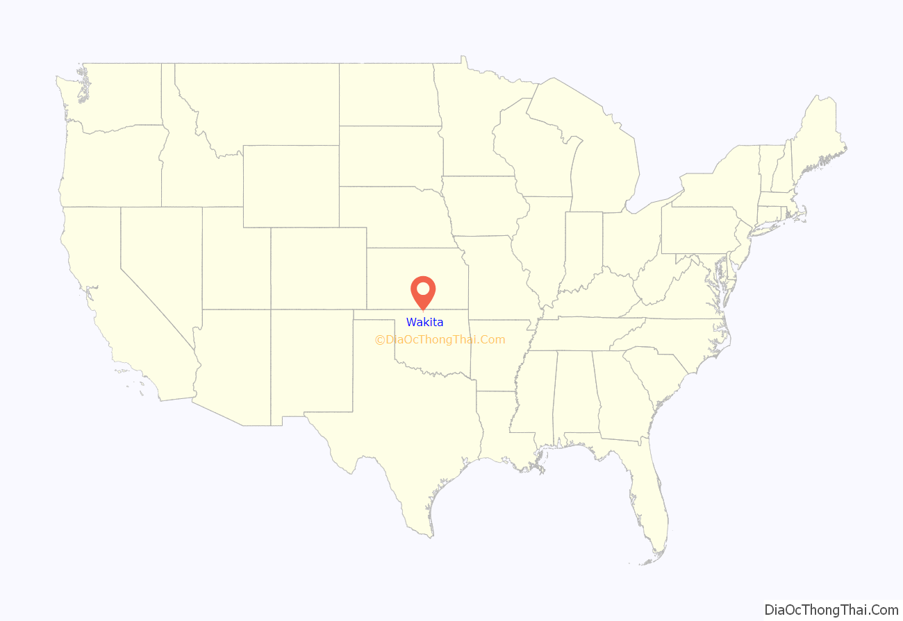
Wakita is a town in Grant County, Oklahoma, United States, founded in 1898, approximately 8 miles (13 km) south of the Kansas border. Its population was 344 at the 2010 census, a decrease of 18.1 percent (from 420) at the 2000 census. Wakita is notable as a location in the 1996 feature film Twister.
| Name: | Wakita town |
|---|---|
| LSAD Code: | 43 |
| LSAD Description: | town (suffix) |
| State: | Oklahoma |
| County: | Grant County |
| Elevation: | 1,175 ft (358 m) |
| Total Area: | 0.31 sq mi (0.81 km²) |
| Land Area: | 0.31 sq mi (0.81 km²) |
| Water Area: | 0.00 sq mi (0.00 km²) |
| Total Population: | 311 |
| Population Density: | 1,000.00/sq mi (385.70/km²) |
| ZIP code: | 73771 |
| Area code: | 580 |
| FIPS code: | 4077950 |
| GNISfeature ID: | 1099292 |
Online Interactive Map
Click on ![]() to view map in "full screen" mode.
to view map in "full screen" mode.
Wakita location map. Where is Wakita town?
History
Before the town’s founding in 1898, there was a dispute over the right to name the town. The town’s postmaster, and the owner of the first general store, and the town’s first postmaster, believed it should be named Whiteville. Local Deputy U.S. Marshall Herbert John Green motioned for the town be named after a Cherokee chief of local significance named Wakita (pronounced Wok-ih-taw). Green and other local settlers wanted to name the town in the chief’s honor because of a protective spell cast by the chief’s tribe to protect the area around the town, between Crooked Creek and Pond Creek, from tornadoes for 100 years. The name was also favored because of a battle that had occurred in the area under the leadership of this chief.
Citing historian George Shirk, the Encyclopedia of Oklahoma History and Culture states that Wakita is a Cherokee word for water collected in a small depression, such as a buffalo wallow. The same source states that Charles N. Gould claimed it was probably a Creek word meaning “to cry” or “to lament”.
The town was founded when the Cherokee Outlet was opened to non-Native American settlement on September 16, 1893. A post office opened November 14, 1893. The population grew when the Hutchison and Southern Railroad (later the Atchison, Topeka and Santa Fe Railway) built a line through the area in 1897. At statehood in 1907, Wakita had 388 residents; by 1910, it had grown to 405.
Wakita was selected as a filming location for the Hollywood blockbuster Twister (1996). In the film, the town is referred to by name, and the water tower bearing its name is shown.
On May 10, 2010, numerous tornadoes touched down in Grant County, causing significant damage near the Wakita area. However, the town itself was not destroyed.
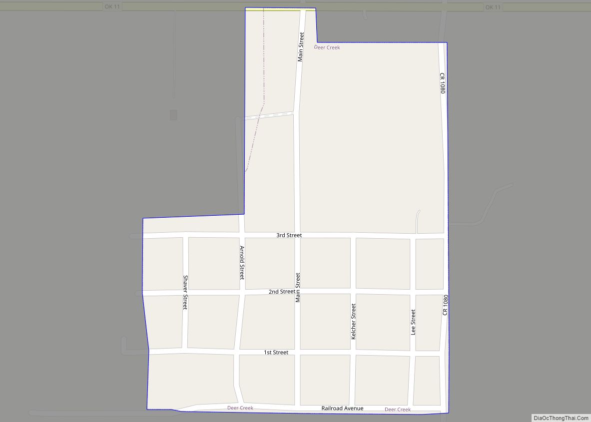
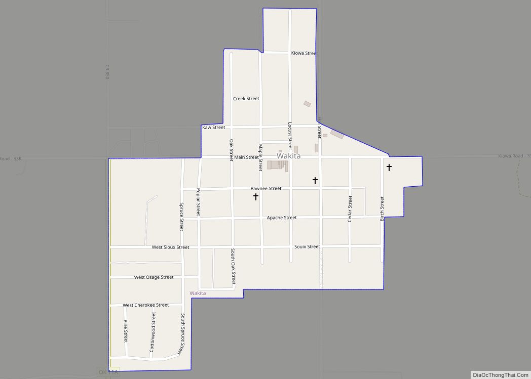
Wakita Road Map
Wakita city Satellite Map
Geography
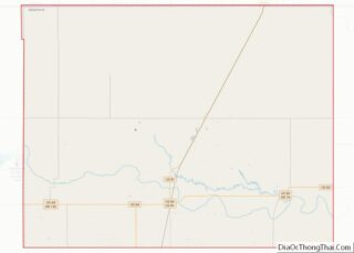
Wakita is 12 miles (19 km) northwest of Medford, the county seat, on State Highway 11A.
According to the United States Census Bureau, it has a total area of 0.3 square miles (0.78 km), all land.
See also
Map of Oklahoma State and its subdivision:- Adair
- Alfalfa
- Atoka
- Beaver
- Beckham
- Blaine
- Bryan
- Caddo
- Canadian
- Carter
- Cherokee
- Choctaw
- Cimarron
- Cleveland
- Coal
- Comanche
- Cotton
- Craig
- Creek
- Custer
- Delaware
- Dewey
- Ellis
- Garfield
- Garvin
- Grady
- Grant
- Greer
- Harmon
- Harper
- Haskell
- Hughes
- Jackson
- Jefferson
- Johnston
- Kay
- Kingfisher
- Kiowa
- Latimer
- Le Flore
- Lincoln
- Logan
- Love
- Major
- Marshall
- Mayes
- McClain
- McCurtain
- McIntosh
- Murray
- Muskogee
- Noble
- Nowata
- Okfuskee
- Oklahoma
- Okmulgee
- Osage
- Ottawa
- Pawnee
- Payne
- Pittsburg
- Pontotoc
- Pottawatomie
- Pushmataha
- Roger Mills
- Rogers
- Seminole
- Sequoyah
- Stephens
- Texas
- Tillman
- Tulsa
- Wagoner
- Washington
- Washita
- Woods
- Woodward
- Alabama
- Alaska
- Arizona
- Arkansas
- California
- Colorado
- Connecticut
- Delaware
- District of Columbia
- Florida
- Georgia
- Hawaii
- Idaho
- Illinois
- Indiana
- Iowa
- Kansas
- Kentucky
- Louisiana
- Maine
- Maryland
- Massachusetts
- Michigan
- Minnesota
- Mississippi
- Missouri
- Montana
- Nebraska
- Nevada
- New Hampshire
- New Jersey
- New Mexico
- New York
- North Carolina
- North Dakota
- Ohio
- Oklahoma
- Oregon
- Pennsylvania
- Rhode Island
- South Carolina
- South Dakota
- Tennessee
- Texas
- Utah
- Vermont
- Virginia
- Washington
- West Virginia
- Wisconsin
- Wyoming
