Washington is a town in McClain County, Oklahoma, United States. The population was 673 as of the 2020 census, a 0.2% increase from 2010.
| Name: | Washington town |
|---|---|
| LSAD Code: | 43 |
| LSAD Description: | town (suffix) |
| State: | Oklahoma |
| County: | McClain County |
| Elevation: | 1,112 ft (339 m) |
| Total Area: | 1.46 sq mi (3.79 km²) |
| Land Area: | 1.45 sq mi (3.75 km²) |
| Water Area: | 0.01 sq mi (0.03 km²) |
| Total Population: | 673 |
| Population Density: | 464.46/sq mi (179.29/km²) |
| ZIP code: | 73093 |
| Area code: | 405 |
| FIPS code: | 4078700 |
| GNISfeature ID: | 1099383 |
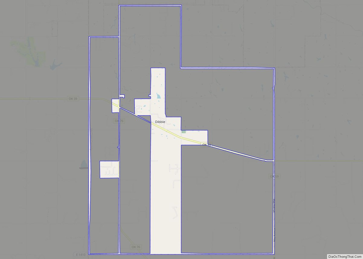
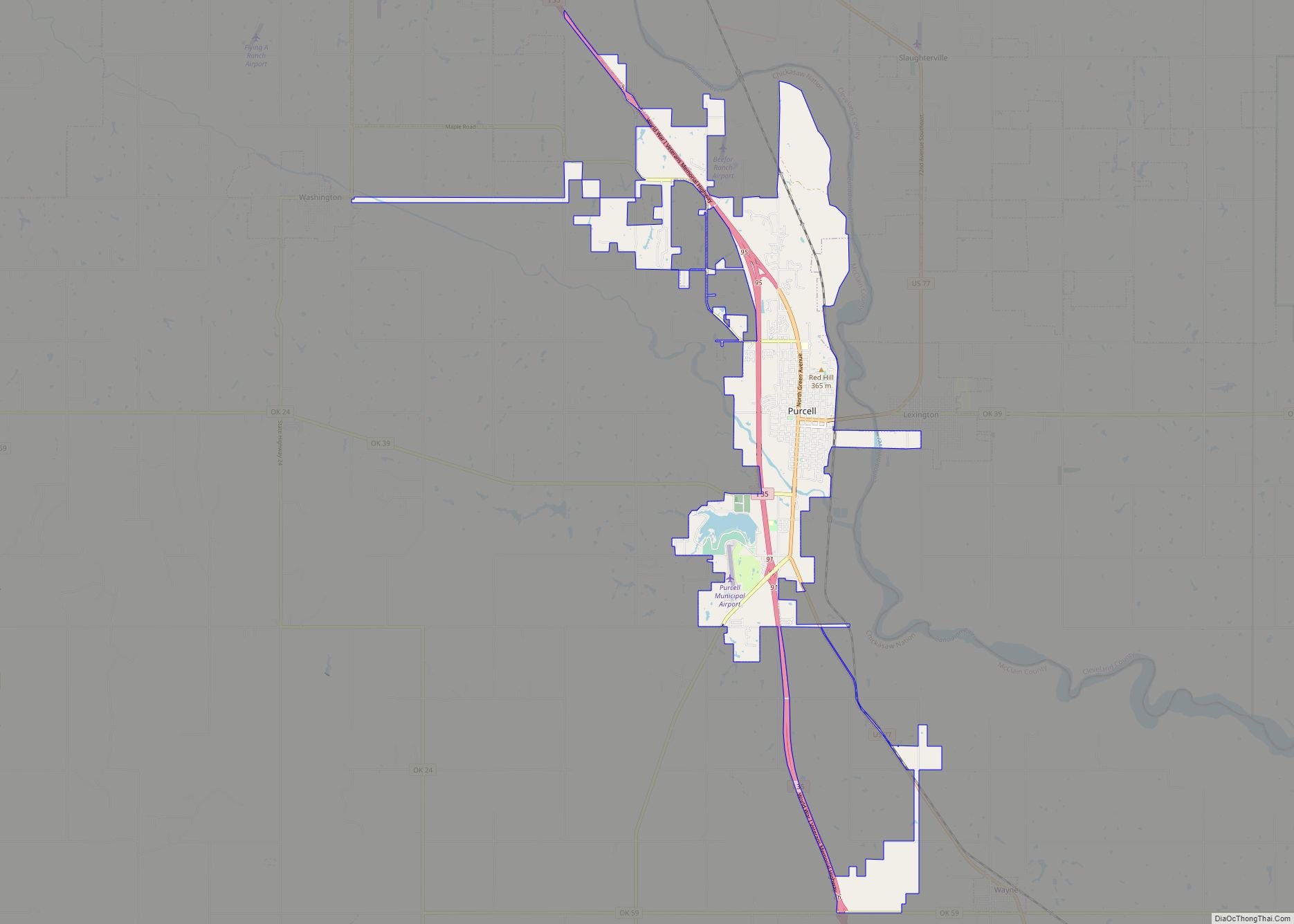
Online Interactive Map
Click on ![]() to view map in "full screen" mode.
to view map in "full screen" mode.
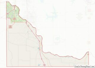
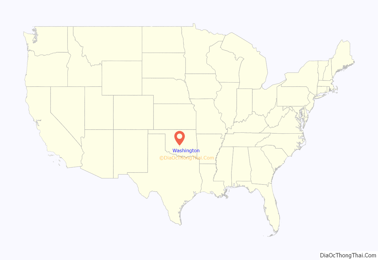
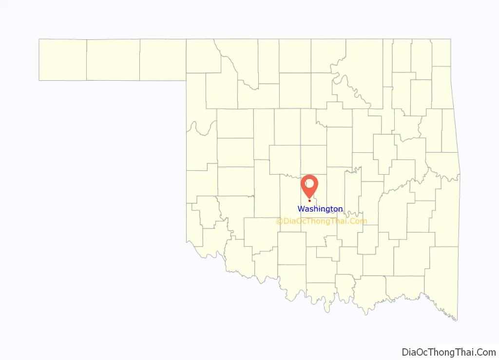
Washington location map. Where is Washington town?
History
A post office called Washington has been in operation since 1904. The town was not named after George Washington, first President of the United States. The post office charter was granted May 10, 1904. According to the Encyclopedia of Oklahoma History and Culture, the name was actually chosen to honor Caddo chief “Little Boy” George Washington, who had lived nearby.
When the Oklahoma Central Railway was built through McClain County in 1907, local resident Hoyt Turner and his Chickasaw-Choctaw wife, Daisy Willis, petitioned the federal court at Muskogee to remove the restrictions from a surplus allotment east of their farm so that a townsite could be established. The request was approved on December 24, 1907, shortly after statehood became effective, and Washington became the first townsite to have tribal restrictions removed for that reason.
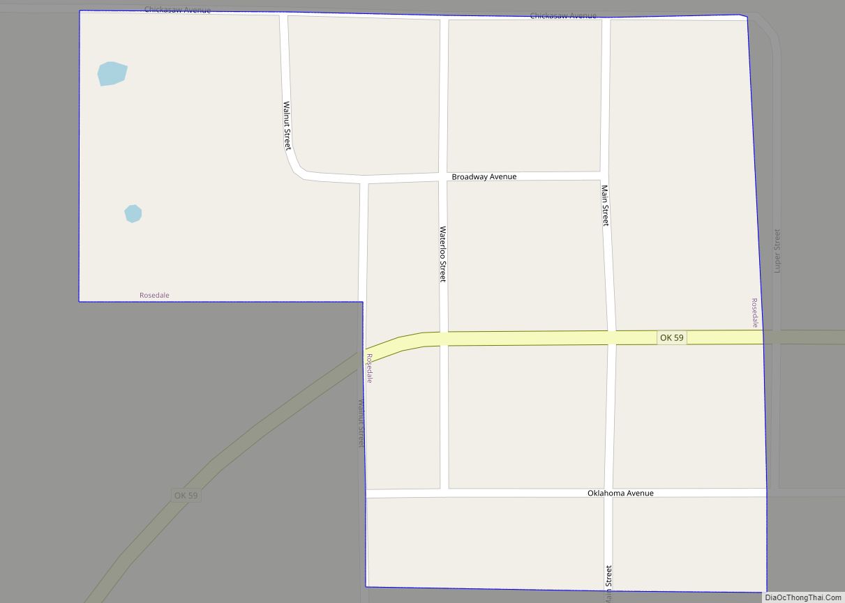
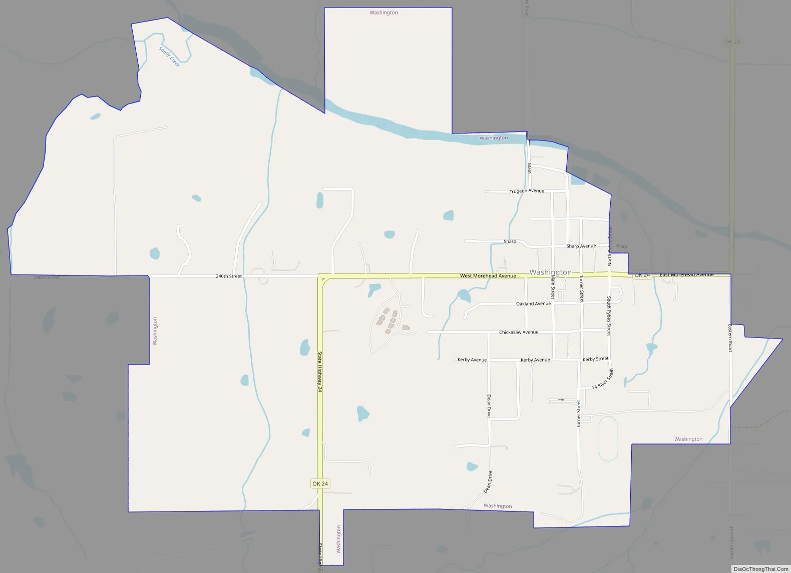
Washington Road Map
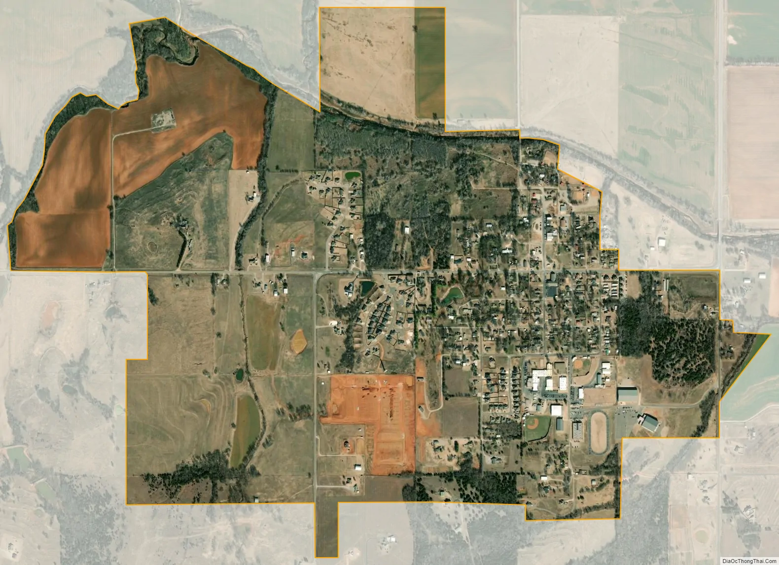
Washington city Satellite Map
Geography
Washington is located at 35°03′36″N 97°29′06″W / 35.060°N 97.485°W / 35.060; -97.485.
According to the United States Census Bureau, the town has a total area of 1.0 square mile (2.6 km), all land.
Washington is located along State Highway 24. It is 10 miles (16 km) northwest of Purcell.</ref>
See also
Map of Oklahoma State and its subdivision:- Adair
- Alfalfa
- Atoka
- Beaver
- Beckham
- Blaine
- Bryan
- Caddo
- Canadian
- Carter
- Cherokee
- Choctaw
- Cimarron
- Cleveland
- Coal
- Comanche
- Cotton
- Craig
- Creek
- Custer
- Delaware
- Dewey
- Ellis
- Garfield
- Garvin
- Grady
- Grant
- Greer
- Harmon
- Harper
- Haskell
- Hughes
- Jackson
- Jefferson
- Johnston
- Kay
- Kingfisher
- Kiowa
- Latimer
- Le Flore
- Lincoln
- Logan
- Love
- Major
- Marshall
- Mayes
- McClain
- McCurtain
- McIntosh
- Murray
- Muskogee
- Noble
- Nowata
- Okfuskee
- Oklahoma
- Okmulgee
- Osage
- Ottawa
- Pawnee
- Payne
- Pittsburg
- Pontotoc
- Pottawatomie
- Pushmataha
- Roger Mills
- Rogers
- Seminole
- Sequoyah
- Stephens
- Texas
- Tillman
- Tulsa
- Wagoner
- Washington
- Washita
- Woods
- Woodward
- Alabama
- Alaska
- Arizona
- Arkansas
- California
- Colorado
- Connecticut
- Delaware
- District of Columbia
- Florida
- Georgia
- Hawaii
- Idaho
- Illinois
- Indiana
- Iowa
- Kansas
- Kentucky
- Louisiana
- Maine
- Maryland
- Massachusetts
- Michigan
- Minnesota
- Mississippi
- Missouri
- Montana
- Nebraska
- Nevada
- New Hampshire
- New Jersey
- New Mexico
- New York
- North Carolina
- North Dakota
- Ohio
- Oklahoma
- Oregon
- Pennsylvania
- Rhode Island
- South Carolina
- South Dakota
- Tennessee
- Texas
- Utah
- Vermont
- Virginia
- Washington
- West Virginia
- Wisconsin
- Wyoming