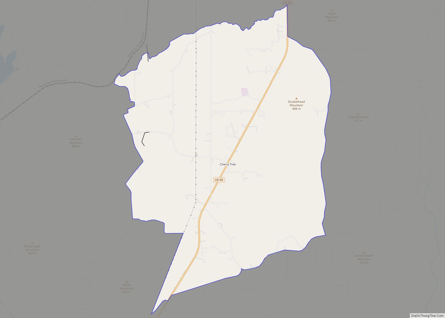
Watts is a town in northern Adair County, Oklahoma, United States. It was named for John Watts, also known as Young Tassel, a Chickamauga Cherokee chief, who died in 1802. The population was 324 at the 2010 census, an increase of 2.5 percent over the figure of 316 recorded in 2000.
| Name: | Watts town |
|---|---|
| LSAD Code: | 43 |
| LSAD Description: | town (suffix) |
| State: | Oklahoma |
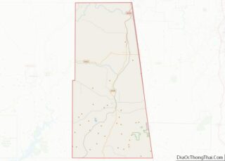
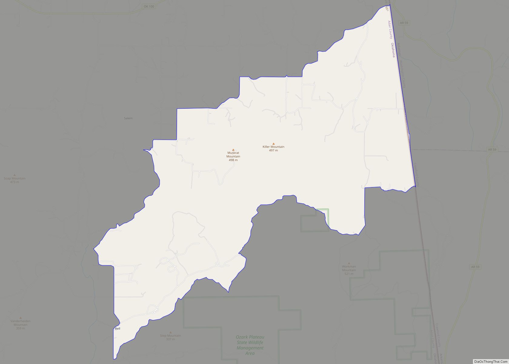
| County: | Adair County |
| Elevation: | 981 ft (299 m) |
| Total Area: | 0.53 sq mi (1.38 km²) |
| Land Area: | 0.53 sq mi (1.38 km²) |
| Water Area: | 0.00 sq mi (0.00 km²) |
| Total Population: | 227 |
| Population Density: | 426.69/sq mi (164.71/km²) |
| ZIP code: | 74964 |
| Area code: | 539/918 |
| FIPS code: | 4079100 |
| GNISfeature ID: | 1099434 |
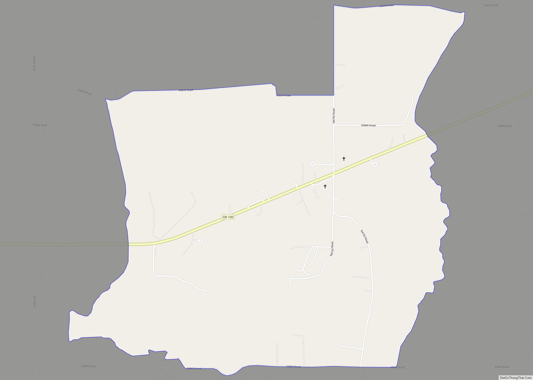
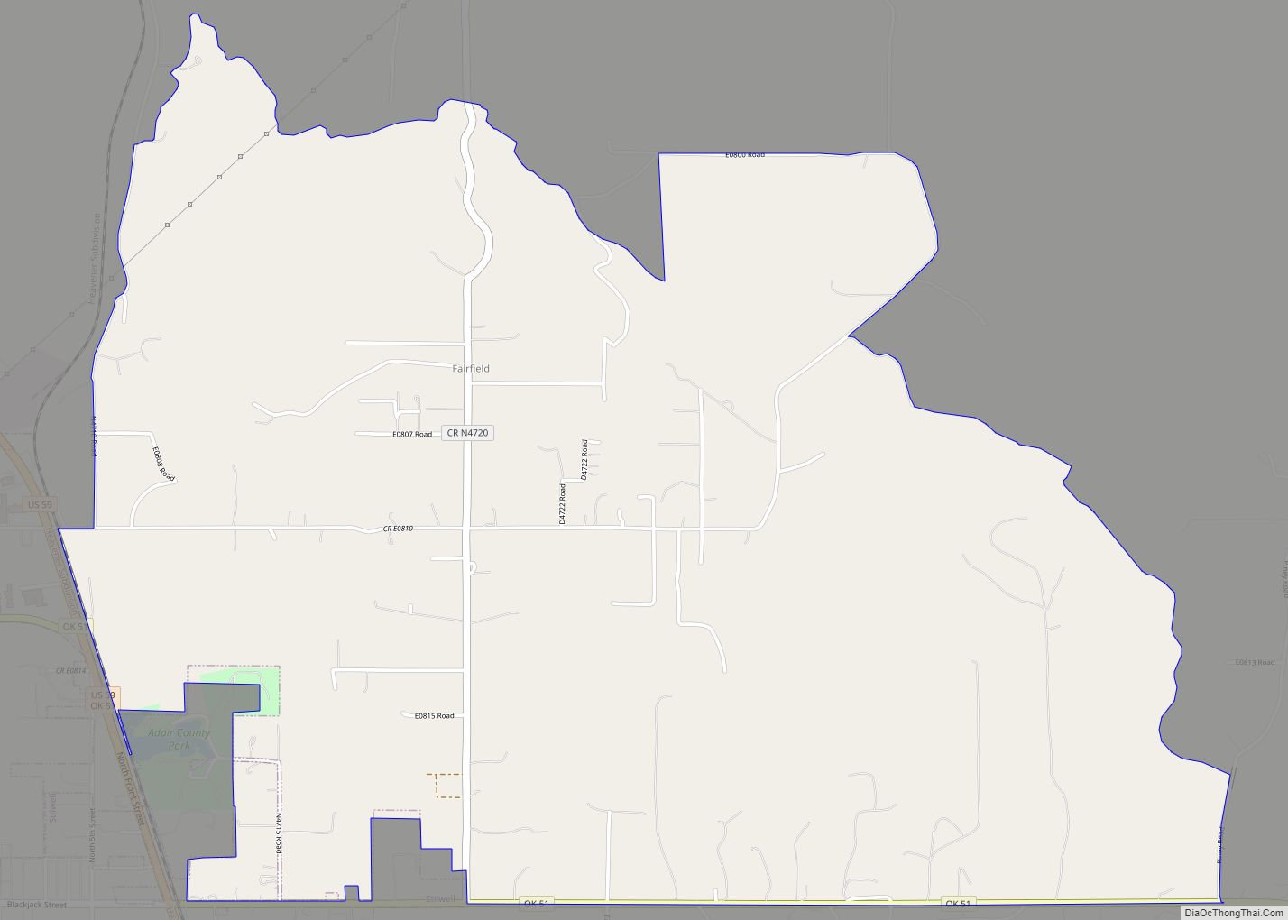
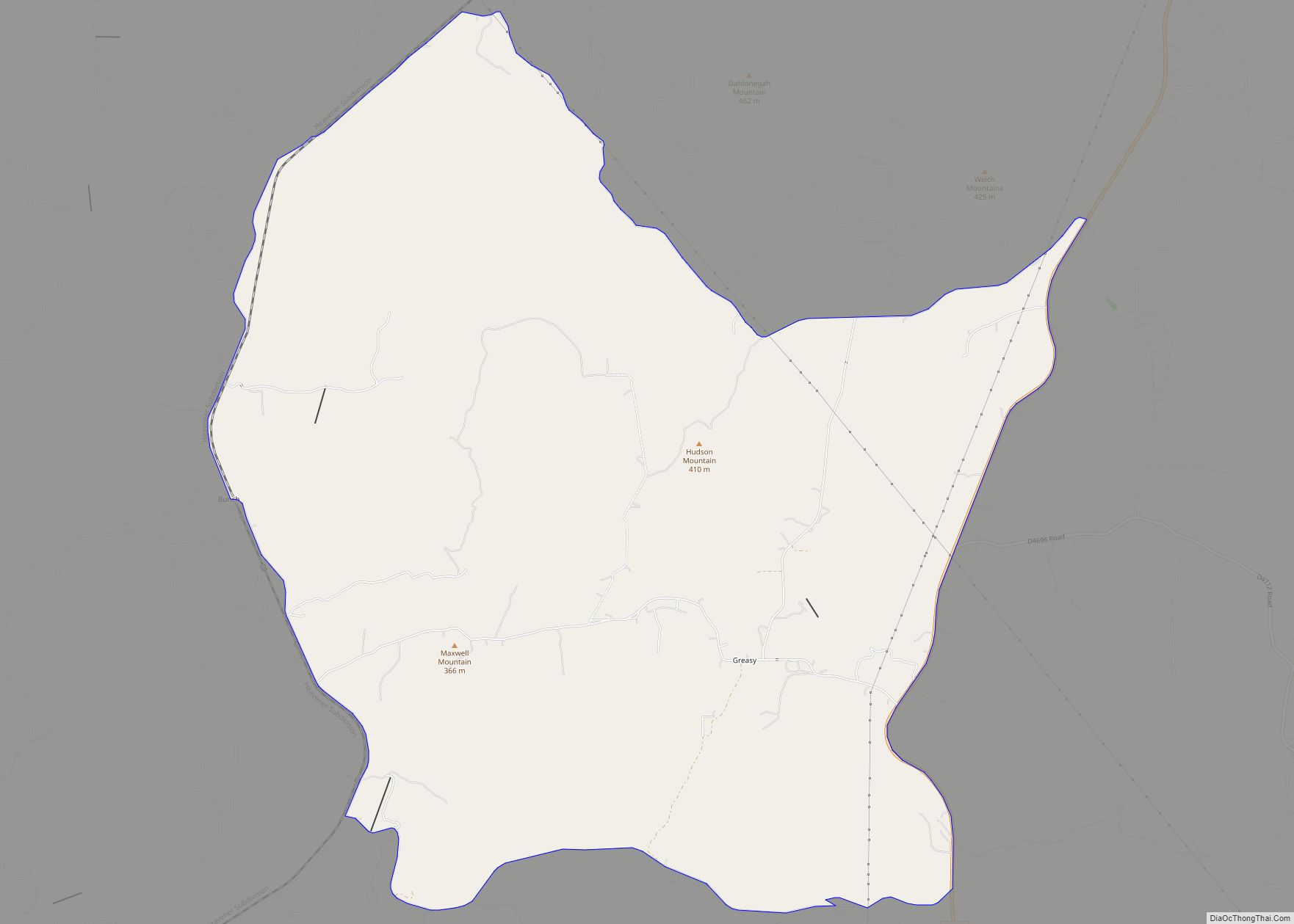
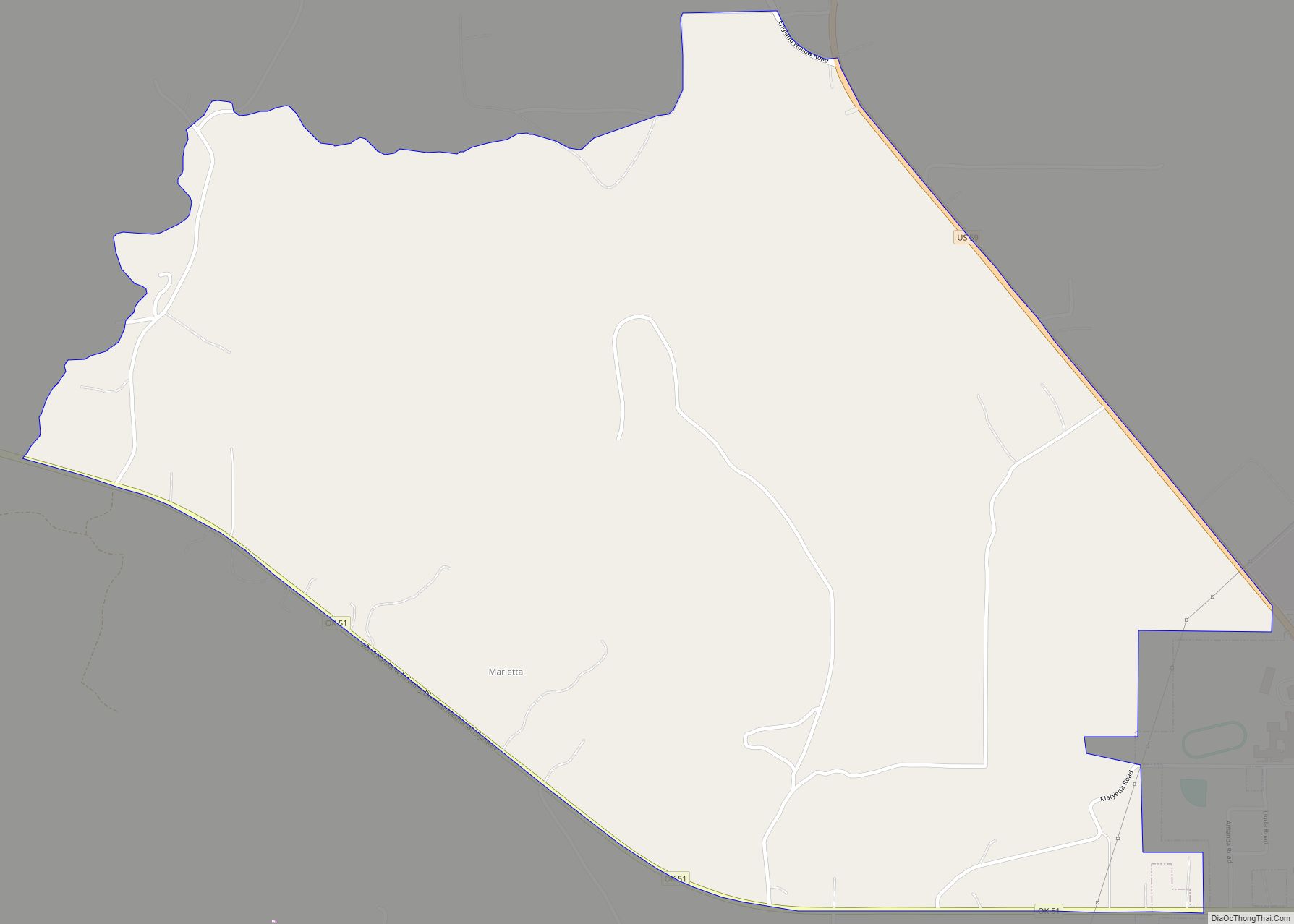
Online Interactive Map
Click on ![]() to view map in "full screen" mode.
to view map in "full screen" mode.
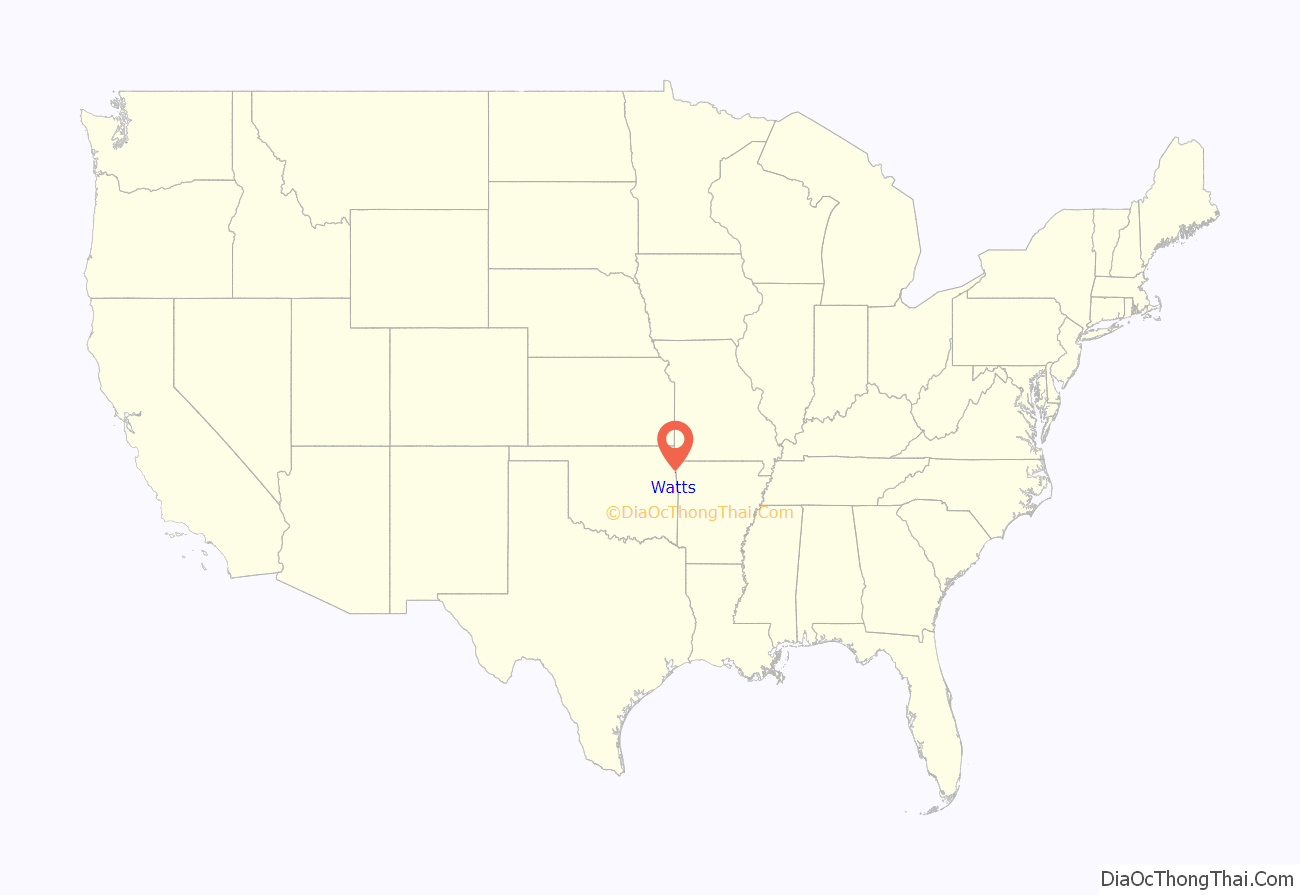
Watts location map. Where is Watts town?
History
Watts is near the site of Old Fort Wayne, which was founded in 1838. The Kansas City Southern Railway (KCS) built a line through the area in 1895-96, and in 1912, relocated its division point from Stillwell to Watts Switch, one mile north of a community called Ballard. Most of Ballard’s merchants moved to the new community of Watts, along with gamblers, land speculators, construction workers and KCS employees.
Frank C. Adair and Frank Howard organized the Guarantee Bank. After statehood, Adair also became the first sheriff of Adair County. Several other businesses sprang up in Watts. Hotels and rooming houses catered to the construction workers and railroad travelers. A lumberyard moved from Ballard, a hardware store and two livery stables were not far behind. At some point in these early days, three doctors opened practices in town. No doubt their patients supported the two drug stores in town. Prosperity had apparently come to Watts, because A. W. Willey opened a bakery and a man called “Cigar” Smith moved from Stilwell to manufacture cigars. The local newspaper, the Watts Watchman, began publication sometime in the 1910s. A post office was established inside a store March 30, 1912.
The town began to decline even before the Great Depression took hold. KCS, like many American railroads, fell on hard times between World War I and World War II. During this period, KCS began dismantling its operations in Watts. It removed the roundhouse, coal chute, water pump station, icehouse, and water tower, as they were no longer needed. The depot, razed in the 1980s, was the last thing to go. Idled workers had to find work elsewhere.
No census data were reported at either the time of statehood or the 1910 U.S. Census. An unofficial estimate of 300 residents was made in 1913. The first official count was 396 at the 1920 census. This declined to 353 in 1930, then reached its bottom of 267 in 1950, before rising to 326 in 1970, and going back to 303 in 1990.
By 2000, Watts had only two feed mill businesses. Most of the employed residents commuted to work in other towns, especially Siloam Springs, Arkansas, which was only 6 miles (9.7 km) north.
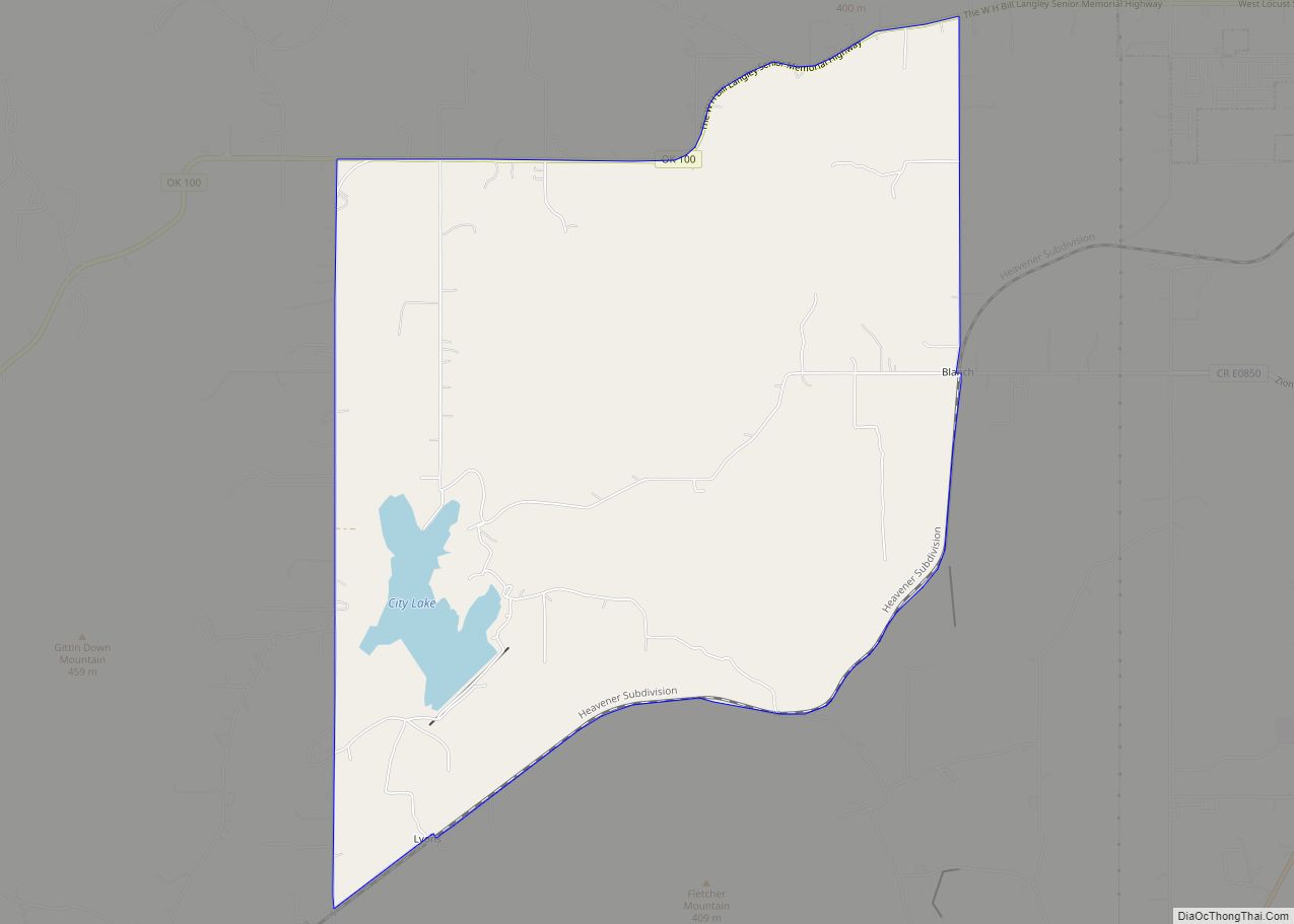
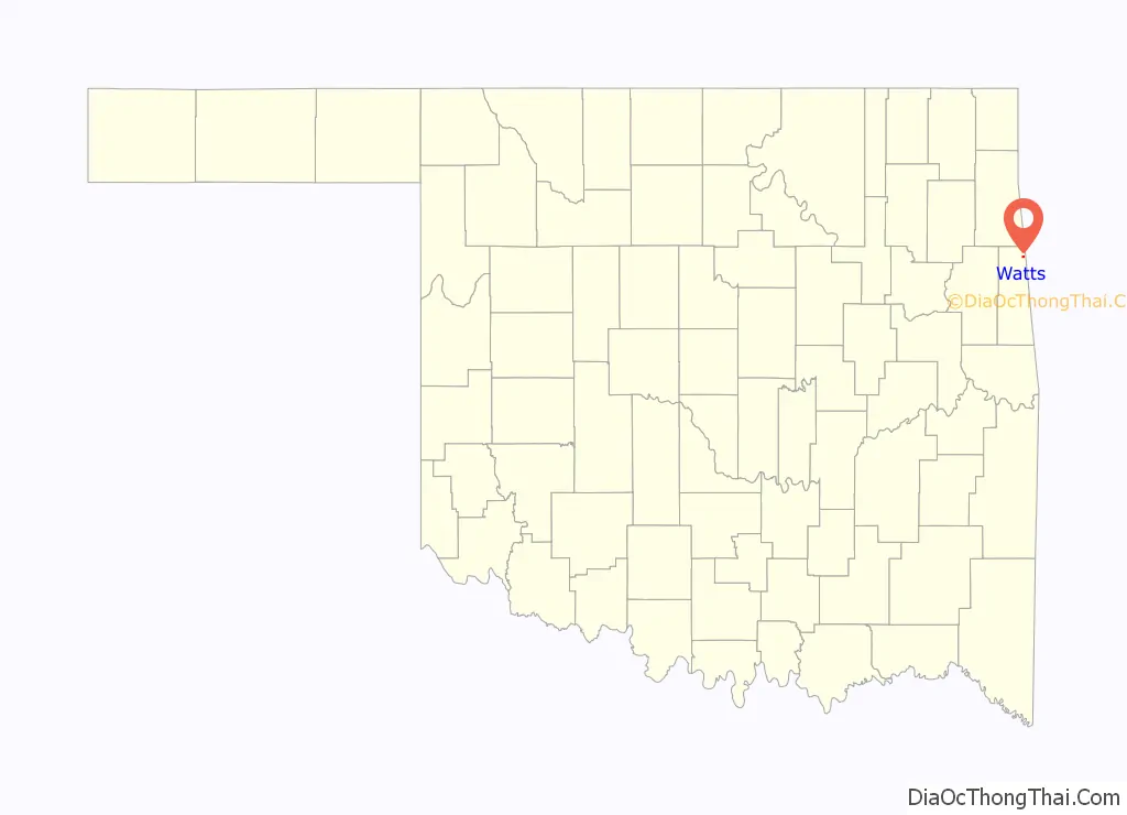
Watts Road Map
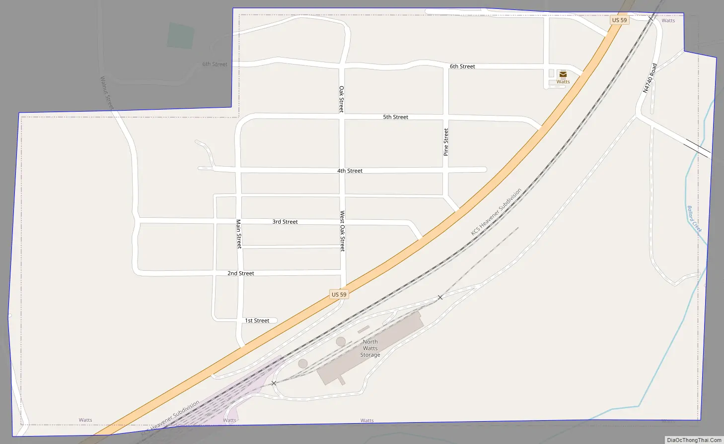
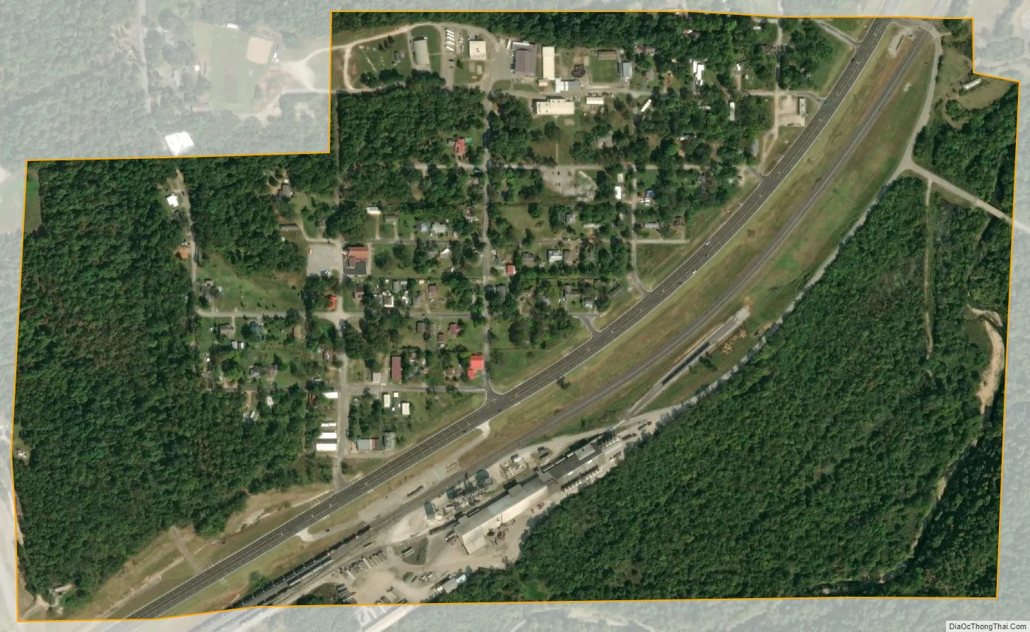
Watts city Satellite Map
Geography
Watts is located at 36°6′28″N 94°34′17″W / 36.10778°N 94.57139°W / 36.10778; -94.57139 (36.107896, -94.571389).
According to the United States Census Bureau, the town has a total area of 0.4 square miles (1.0 km), all land.
Watts is located on U.S. Highway 59 9 miles (14 km) north of Westville.
Nearby Ballard Creek is a tributary of the Illinois River.
See also
Map of Oklahoma State and its subdivision:- Adair
- Alfalfa
- Atoka
- Beaver
- Beckham
- Blaine
- Bryan
- Caddo
- Canadian
- Carter
- Cherokee
- Choctaw
- Cimarron
- Cleveland
- Coal
- Comanche
- Cotton
- Craig
- Creek
- Custer
- Delaware
- Dewey
- Ellis
- Garfield
- Garvin
- Grady
- Grant
- Greer
- Harmon
- Harper
- Haskell
- Hughes
- Jackson
- Jefferson
- Johnston
- Kay
- Kingfisher
- Kiowa
- Latimer
- Le Flore
- Lincoln
- Logan
- Love
- Major
- Marshall
- Mayes
- McClain
- McCurtain
- McIntosh
- Murray
- Muskogee
- Noble
- Nowata
- Okfuskee
- Oklahoma
- Okmulgee
- Osage
- Ottawa
- Pawnee
- Payne
- Pittsburg
- Pontotoc
- Pottawatomie
- Pushmataha
- Roger Mills
- Rogers
- Seminole
- Sequoyah
- Stephens
- Texas
- Tillman
- Tulsa
- Wagoner
- Washington
- Washita
- Woods
- Woodward
- Alabama
- Alaska
- Arizona
- Arkansas
- California
- Colorado
- Connecticut
- Delaware
- District of Columbia
- Florida
- Georgia
- Hawaii
- Idaho
- Illinois
- Indiana
- Iowa
- Kansas
- Kentucky
- Louisiana
- Maine
- Maryland
- Massachusetts
- Michigan
- Minnesota
- Mississippi
- Missouri
- Montana
- Nebraska
- Nevada
- New Hampshire
- New Jersey
- New Mexico
- New York
- North Carolina
- North Dakota
- Ohio
- Oklahoma
- Oregon
- Pennsylvania
- Rhode Island
- South Carolina
- South Dakota
- Tennessee
- Texas
- Utah
- Vermont
- Virginia
- Washington
- West Virginia
- Wisconsin
- Wyoming