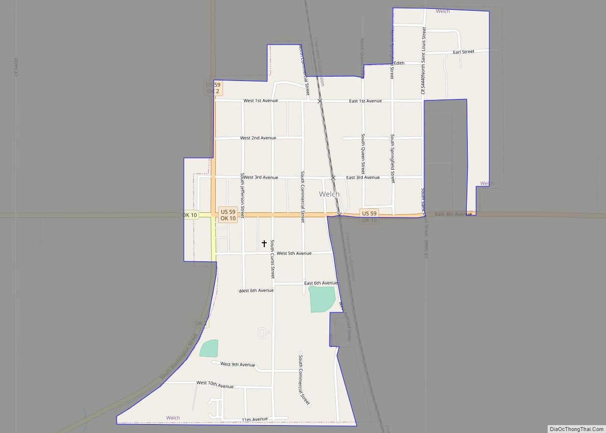
Welch is a town in northern Craig County, Oklahoma, United States. It is 8 miles (13 km) south of the Kansas state line, at the intersection of state highways 2 and 10 with U.S. Highway 59. The population was 619 at the 2010 census, an increase of 3.7 percent over the figure of 597 recorded in 2000. It is the second largest town in its county.
| Name: | Welch town |
|---|---|
| LSAD Code: | 43 |
| LSAD Description: | town (suffix) |
| State: | Oklahoma |
| County: | Craig County |
| Elevation: | 820 ft (250 m) |
| Total Area: | 0.51 sq mi (1.33 km²) |
| Land Area: | 0.51 sq mi (1.33 km²) |
| Water Area: | 0.00 sq mi (0.00 km²) |
| Total Population: | 622 |
| Population Density: | 1,212.48/sq mi (468.36/km²) |
| ZIP code: | 74369 |
| Area code: | 539/918 |
| FIPS code: | 4079750 |
| GNISfeature ID: | 1099471 |
Online Interactive Map
Click on ![]() to view map in "full screen" mode.
to view map in "full screen" mode.
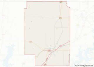
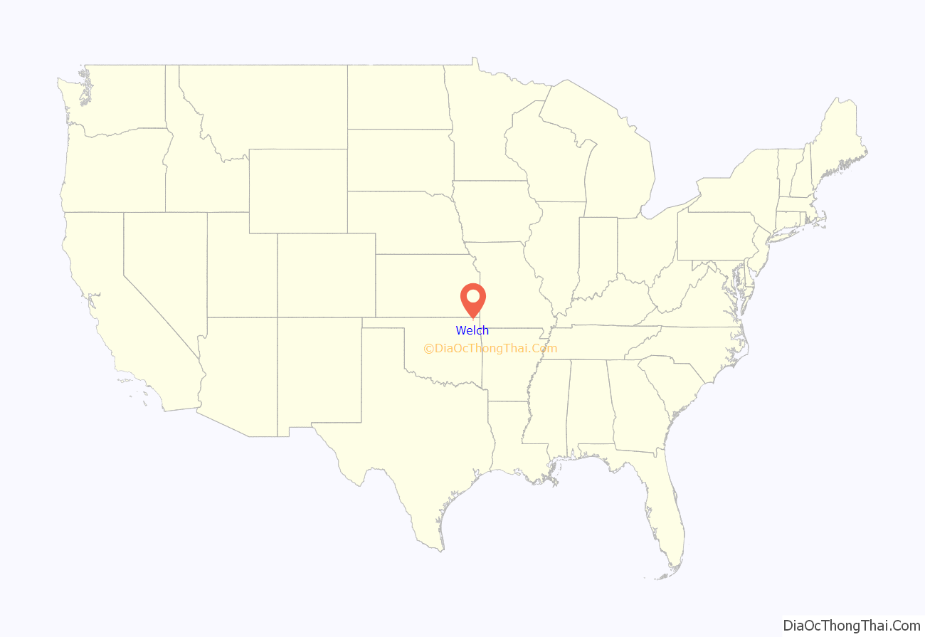
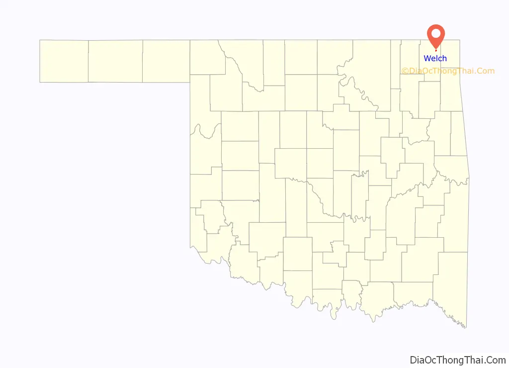
Welch location map. Where is Welch town?
History
Welch was established in 1888 in the Cherokee Nation on land that D. B. Nigh leased from Frank Craig. The Missouri, Kansas and Texas Railway (Katy) had built a line through the area in 1871, and in 1891 it built a switch on Nigh’s property, providing a shipping point for local hay and grain. The town that began to grow around the switch was named for a Katy railroad official, A. L. Welch. A post office was established in 1892. The town plat was approved in 1902, and the town incorporated in 1909. A newspaper called the Welch Watchman began publication in 1902, and continued in business, although later renamed as the Welch American, until the mid 1960s.
A joint stock company established the first school in 1899, then sold it to the city in 1907. The first class graduated in 1911.
In 2003, Welch had two convenience stores, a grocery store, a feed store, Thomas Funeral Home, the Blossom Shoppe, a meat processor, a livestock sale barn, two cafés, a new automotive shop, two saddle shops, an assisted-living retirement home, Graham Equipment Company, and a new medical office, among other enterprises.
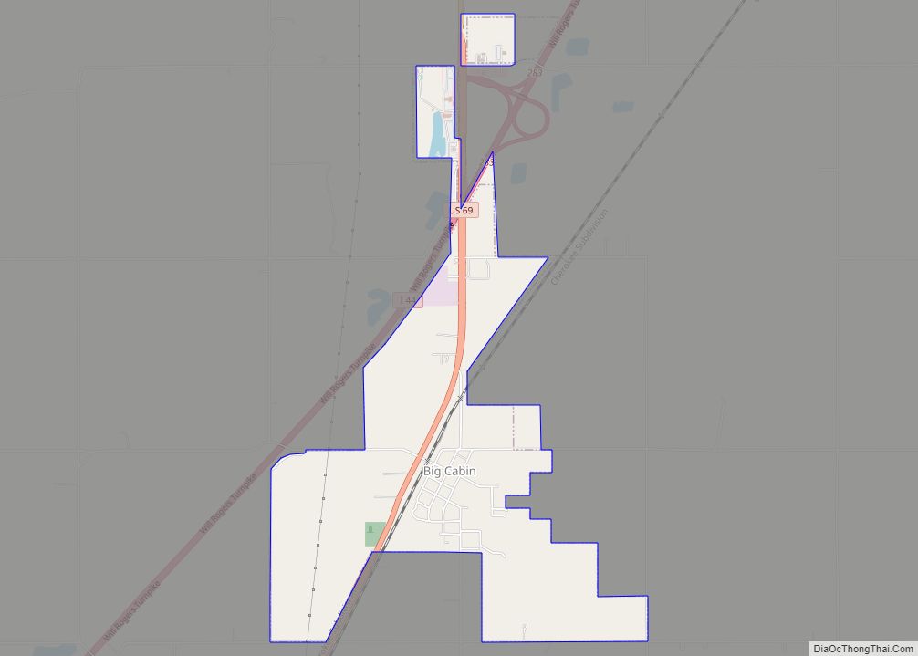
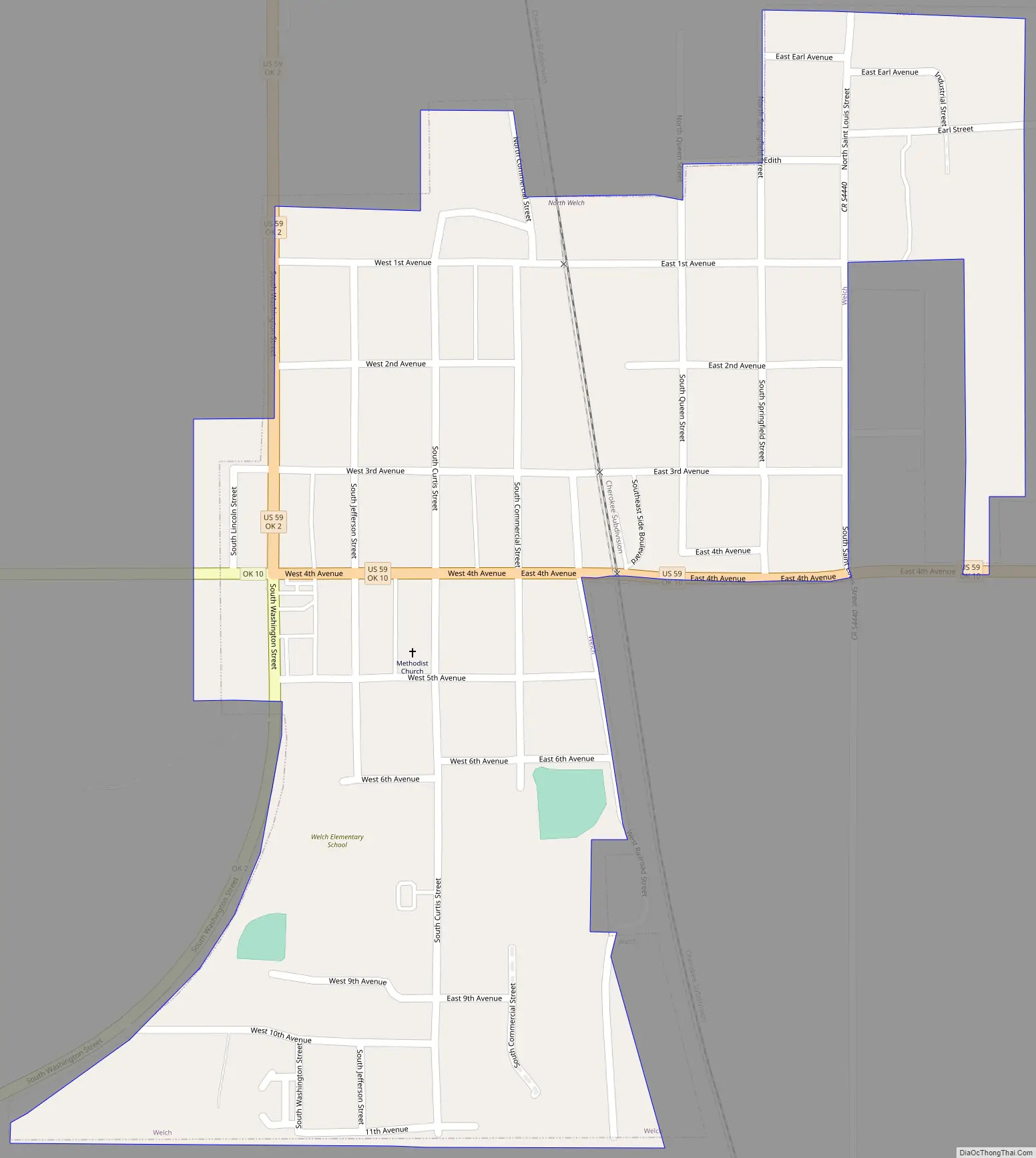
Welch Road Map
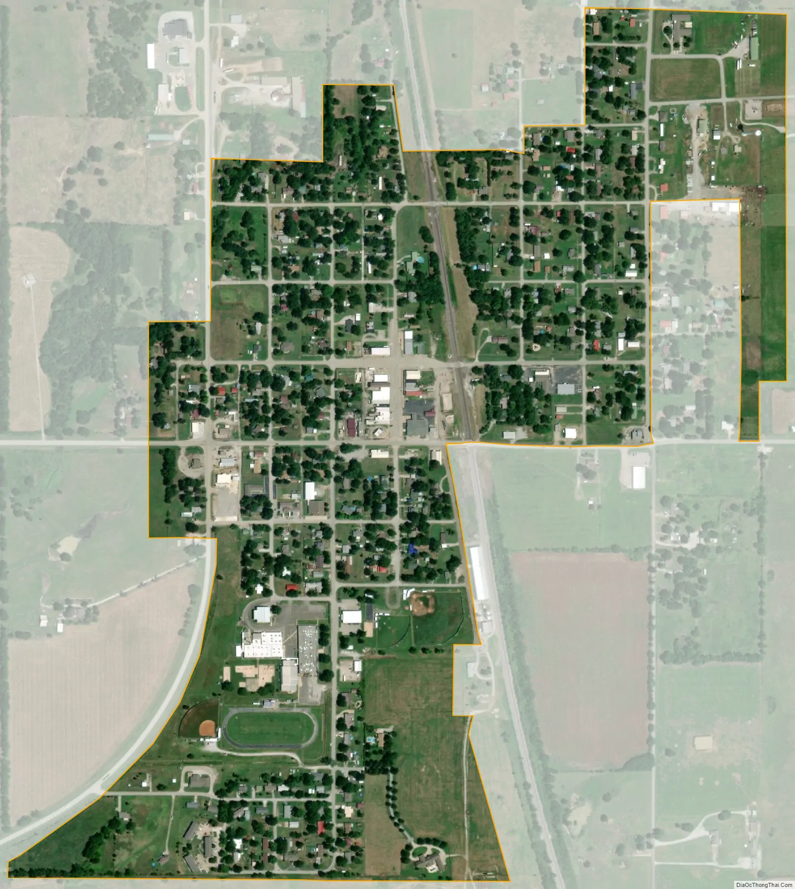
Welch city Satellite Map
Geography
Welch is located at 36°52′29″N 95°5′38″W / 36.87472°N 95.09389°W / 36.87472; -95.09389 (36.874605, -95.093805). It is 18 miles (29 km) north of Vinita, the county seat, and 13 miles (21 km) west of Miami, the seat of Ottawa County.
According to the United States Census Bureau, the town has a total area of 0.5 square miles (1.3 km), all land.
See also
Map of Oklahoma State and its subdivision:- Adair
- Alfalfa
- Atoka
- Beaver
- Beckham
- Blaine
- Bryan
- Caddo
- Canadian
- Carter
- Cherokee
- Choctaw
- Cimarron
- Cleveland
- Coal
- Comanche
- Cotton
- Craig
- Creek
- Custer
- Delaware
- Dewey
- Ellis
- Garfield
- Garvin
- Grady
- Grant
- Greer
- Harmon
- Harper
- Haskell
- Hughes
- Jackson
- Jefferson
- Johnston
- Kay
- Kingfisher
- Kiowa
- Latimer
- Le Flore
- Lincoln
- Logan
- Love
- Major
- Marshall
- Mayes
- McClain
- McCurtain
- McIntosh
- Murray
- Muskogee
- Noble
- Nowata
- Okfuskee
- Oklahoma
- Okmulgee
- Osage
- Ottawa
- Pawnee
- Payne
- Pittsburg
- Pontotoc
- Pottawatomie
- Pushmataha
- Roger Mills
- Rogers
- Seminole
- Sequoyah
- Stephens
- Texas
- Tillman
- Tulsa
- Wagoner
- Washington
- Washita
- Woods
- Woodward
- Alabama
- Alaska
- Arizona
- Arkansas
- California
- Colorado
- Connecticut
- Delaware
- District of Columbia
- Florida
- Georgia
- Hawaii
- Idaho
- Illinois
- Indiana
- Iowa
- Kansas
- Kentucky
- Louisiana
- Maine
- Maryland
- Massachusetts
- Michigan
- Minnesota
- Mississippi
- Missouri
- Montana
- Nebraska
- Nevada
- New Hampshire
- New Jersey
- New Mexico
- New York
- North Carolina
- North Dakota
- Ohio
- Oklahoma
- Oregon
- Pennsylvania
- Rhode Island
- South Carolina
- South Dakota
- Tennessee
- Texas
- Utah
- Vermont
- Virginia
- Washington
- West Virginia
- Wisconsin
- Wyoming