Westport is a town in Pawnee County, Oklahoma, United States. The population was 298 at the 2010 census, a gain of 12.9 percent over the figure of 264 in 2000.
| Name: | Westport town |
|---|---|
| LSAD Code: | 43 |
| LSAD Description: | town (suffix) |
| State: | Oklahoma |
| County: | Pawnee County |
| Elevation: | 883 ft (269 m) |
| Total Area: | 8.66 sq mi (22.44 km²) |
| Land Area: | 4.36 sq mi (11.29 km²) |
| Water Area: | 4.30 sq mi (11.15 km²) |
| Total Population: | 448 |
| Population Density: | 102.82/sq mi (39.70/km²) |
| ZIP code: | 74020 |
| Area code: | 539/918 |
| FIPS code: | 4080250 |
| GNISfeature ID: | 1102924 |
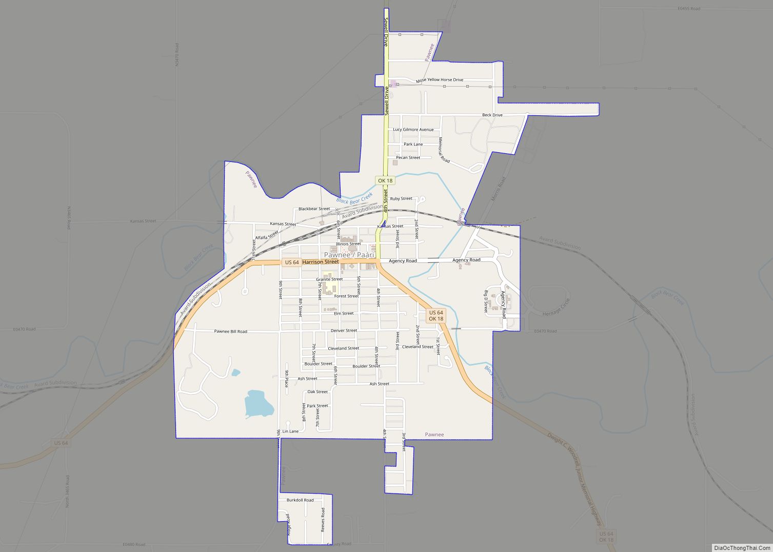
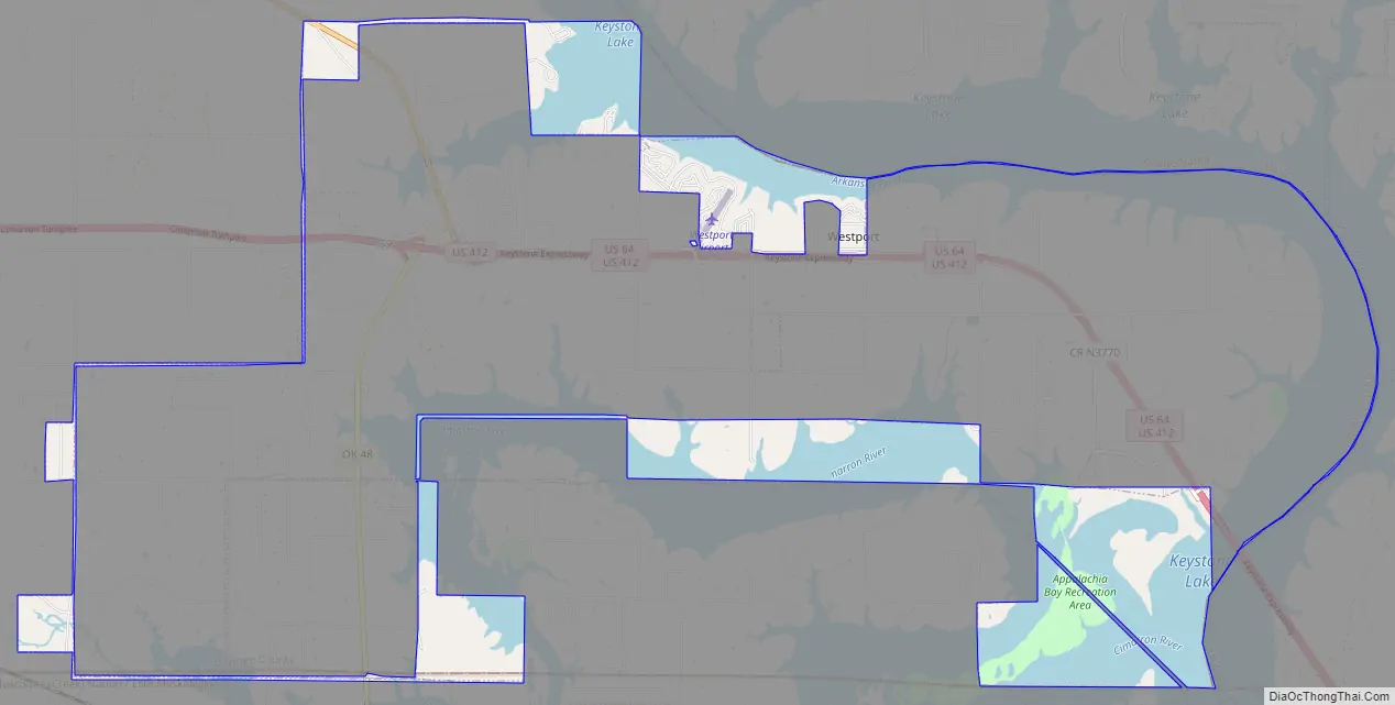
Online Interactive Map
Click on ![]() to view map in "full screen" mode.
to view map in "full screen" mode.
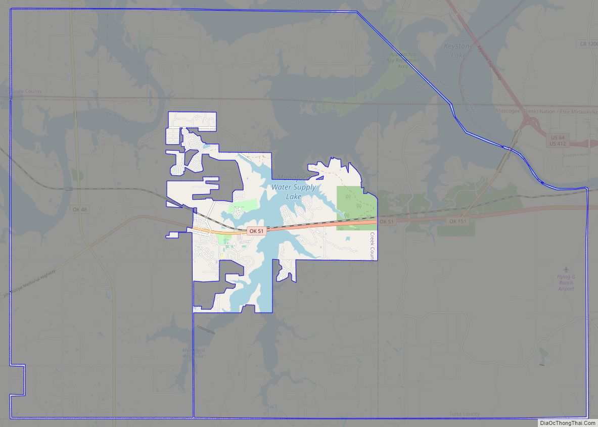
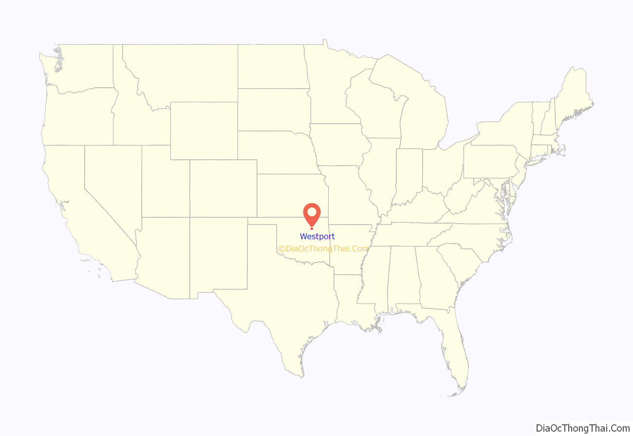
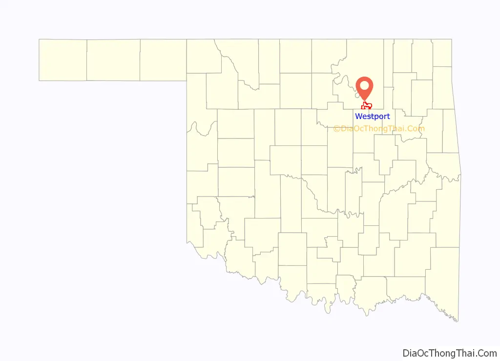
Westport location map. Where is Westport town?
History
The city is much newer than most towns in northeast Oklahoma. It was incorporated in the mid 1960s, after completion of Lake Keystone. Most of the residences were built between 1960 and 1979. Its first Federal census reported 146 residents in 1970. The census population peaked at 325 in 1990, then dropped to 264 in 2000, perhaps because of major damage inflicted by an F4 tornado that occurred as part of the April 26, 1991 tornado outbreak. Over 96 percent of the employed residents commuted to work in Stillwater or Tulsa.
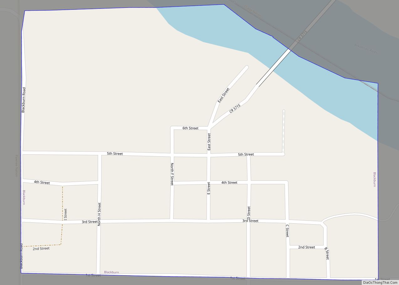
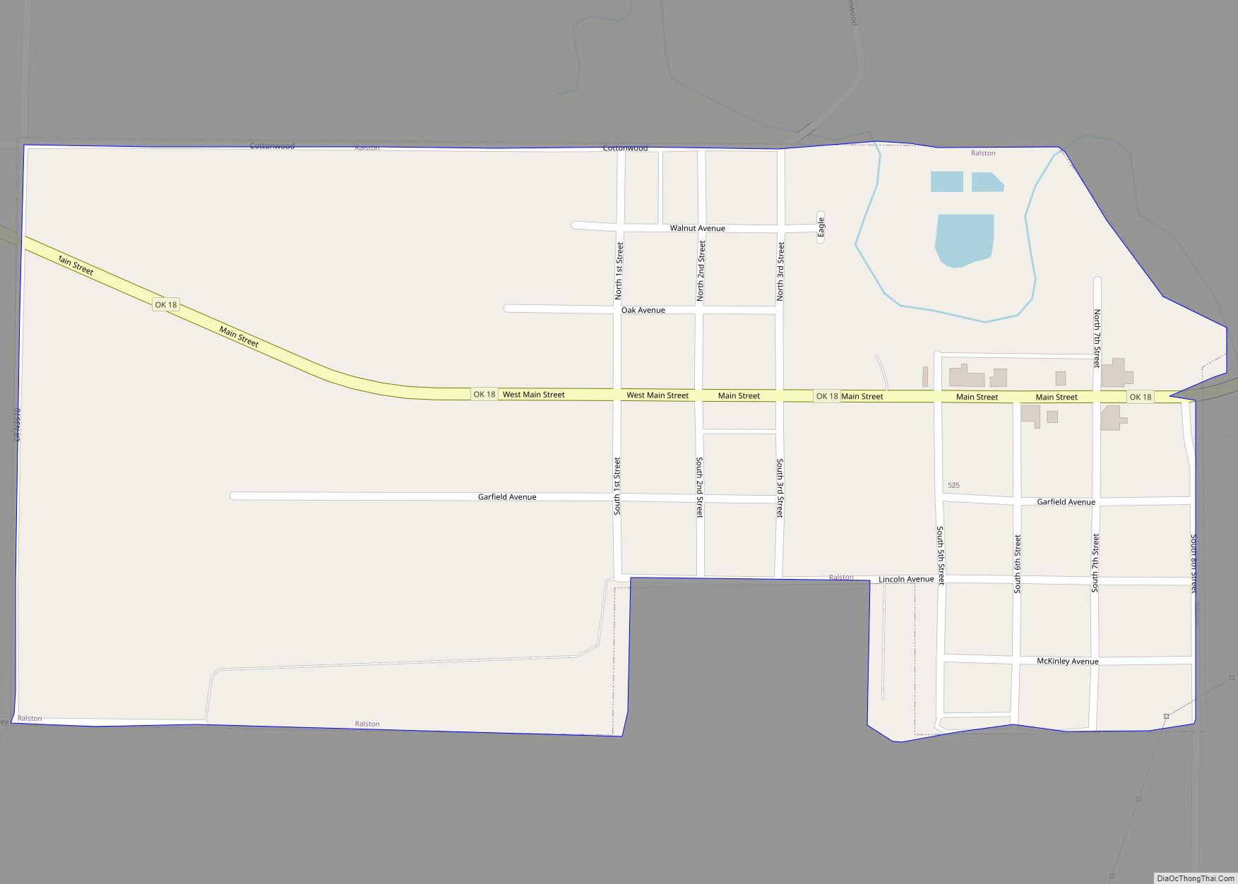
Westport Road Map
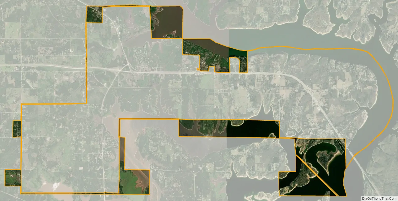
Westport city Satellite Map
Geography
Westport is located at 36°11′47″N 96°21′38″W / 36.19639°N 96.36056°W / 36.19639; -96.36056 (36.196315, -96.360476). According to the United States Census Bureau, the town has a total area of 8.4 square miles (22 km), of which 4.0 square miles (10 km) is land and 4.5 square miles (12 km) (52.78%) is water.
See also
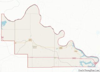
Map of Oklahoma State and its subdivision:- Adair
- Alfalfa
- Atoka
- Beaver
- Beckham
- Blaine
- Bryan
- Caddo
- Canadian
- Carter
- Cherokee
- Choctaw
- Cimarron
- Cleveland
- Coal
- Comanche
- Cotton
- Craig
- Creek
- Custer
- Delaware
- Dewey
- Ellis
- Garfield
- Garvin
- Grady
- Grant
- Greer
- Harmon
- Harper
- Haskell
- Hughes
- Jackson
- Jefferson
- Johnston
- Kay
- Kingfisher
- Kiowa
- Latimer
- Le Flore
- Lincoln
- Logan
- Love
- Major
- Marshall
- Mayes
- McClain
- McCurtain
- McIntosh
- Murray
- Muskogee
- Noble
- Nowata
- Okfuskee
- Oklahoma
- Okmulgee
- Osage
- Ottawa
- Pawnee
- Payne
- Pittsburg
- Pontotoc
- Pottawatomie
- Pushmataha
- Roger Mills
- Rogers
- Seminole
- Sequoyah
- Stephens
- Texas
- Tillman
- Tulsa
- Wagoner
- Washington
- Washita
- Woods
- Woodward
- Alabama
- Alaska
- Arizona
- Arkansas
- California
- Colorado
- Connecticut
- Delaware
- District of Columbia
- Florida
- Georgia
- Hawaii
- Idaho
- Illinois
- Indiana
- Iowa
- Kansas
- Kentucky
- Louisiana
- Maine
- Maryland
- Massachusetts
- Michigan
- Minnesota
- Mississippi
- Missouri
- Montana
- Nebraska
- Nevada
- New Hampshire
- New Jersey
- New Mexico
- New York
- North Carolina
- North Dakota
- Ohio
- Oklahoma
- Oregon
- Pennsylvania
- Rhode Island
- South Carolina
- South Dakota
- Tennessee
- Texas
- Utah
- Vermont
- Virginia
- Washington
- West Virginia
- Wisconsin
- Wyoming