Wyandotte is a town in Ottawa County, Oklahoma, United States. The population was 333 at the 2010 census, a decline of 8.26 percent from the figure of 363 recorded in 2000. The town is the tribal headquarters of the Wyandotte Nation of Oklahoma, for which the town was named. Wyandotte is part of the Joplin, Missouri metropolitan area.
| Name: | Wyandotte town |
|---|---|
| LSAD Code: | 43 |
| LSAD Description: | town (suffix) |
| State: | Oklahoma |
| County: | Ottawa County |
| Elevation: | 761 ft (232 m) |
| Total Area: | 1.36 sq mi (3.52 km²) |
| Land Area: | 1.36 sq mi (3.52 km²) |
| Water Area: | 0.00 sq mi (0.00 km²) |
| Total Population: | 488 |
| Population Density: | 358.82/sq mi (138.56/km²) |
| ZIP code: | 74370 |
| Area code: | 539/918 |
| FIPS code: | 4082250 |
| GNISfeature ID: | 1100025 |
Online Interactive Map
Click on ![]() to view map in "full screen" mode.
to view map in "full screen" mode.
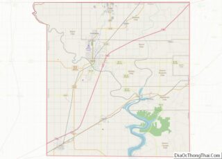
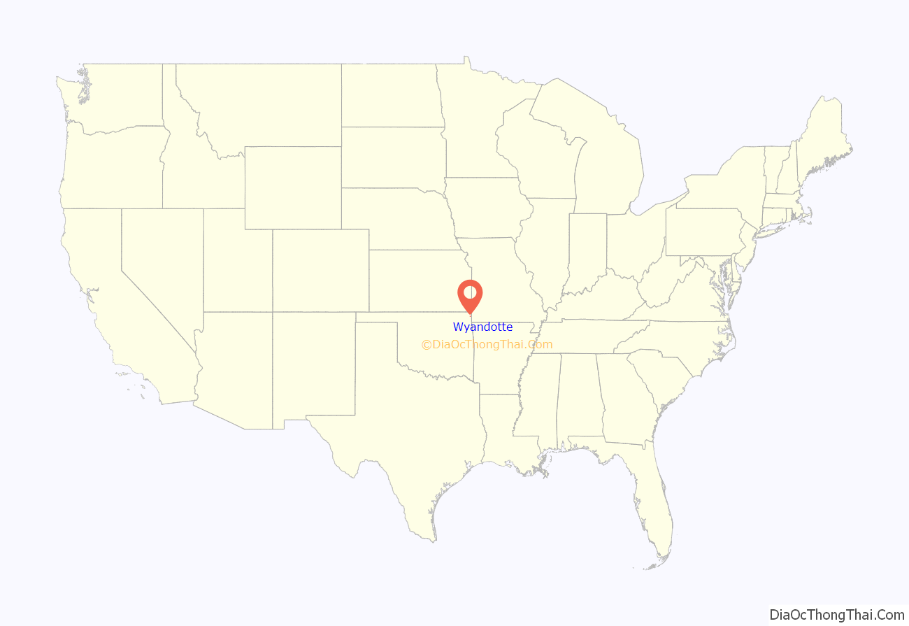
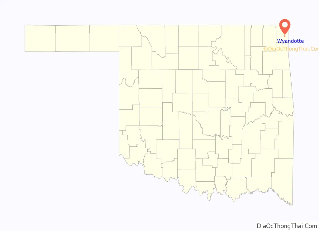
Wyandotte location map. Where is Wyandotte town?
History
The Wyandotte tribe was removed to this area in 1867. The Society of Friends (Quakers) established a mission here in 1869, and the Wyandotte Tribal Council donated land for the Quakers to establish a boarding school for Seneca, Shawnee and Wyandotte children. Construction of the school began in 1871 and classes began in 1872. Originally named Prairie City, the post office was renamed to the city’s current name in 1894.
In the mid 1920s, Wyandotte was nationally known for having an all-female city government due to changes in the electorate of the town after the passage of the Nineteenth Amendment. The mayor of the town during this period, Mamie Foster, served for over five years as Oklahoma’s first female mayor.
In the late 1930s, the Federal Government built Pensacola Dam, which created Grand Lake o’ the Cherokees. Although the lake took away part of Wyandotte’s land, it added business in the form of residential development and tourist industry. This caused a resumption of population growth.
In 1966, town officials discovered that Wyandotte had never filed incorporation papers. They petitioned the Ottawa County Board of Commissioners for an election, which was approved. A majority voted for incorporation, which became effective in April, 1966.
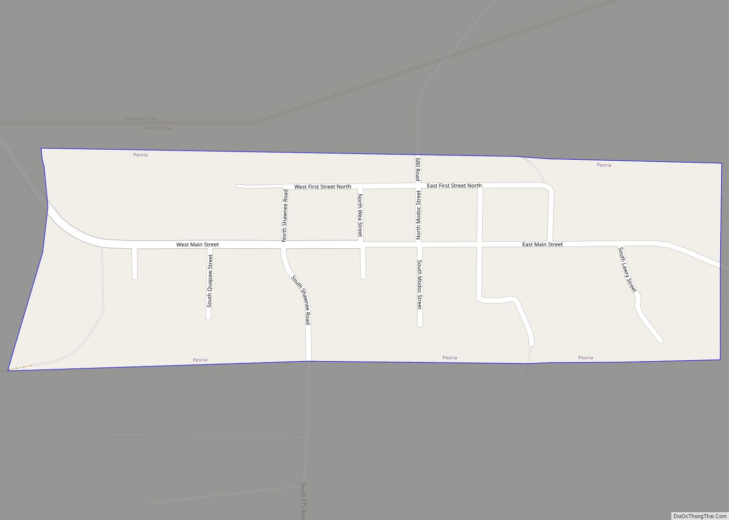
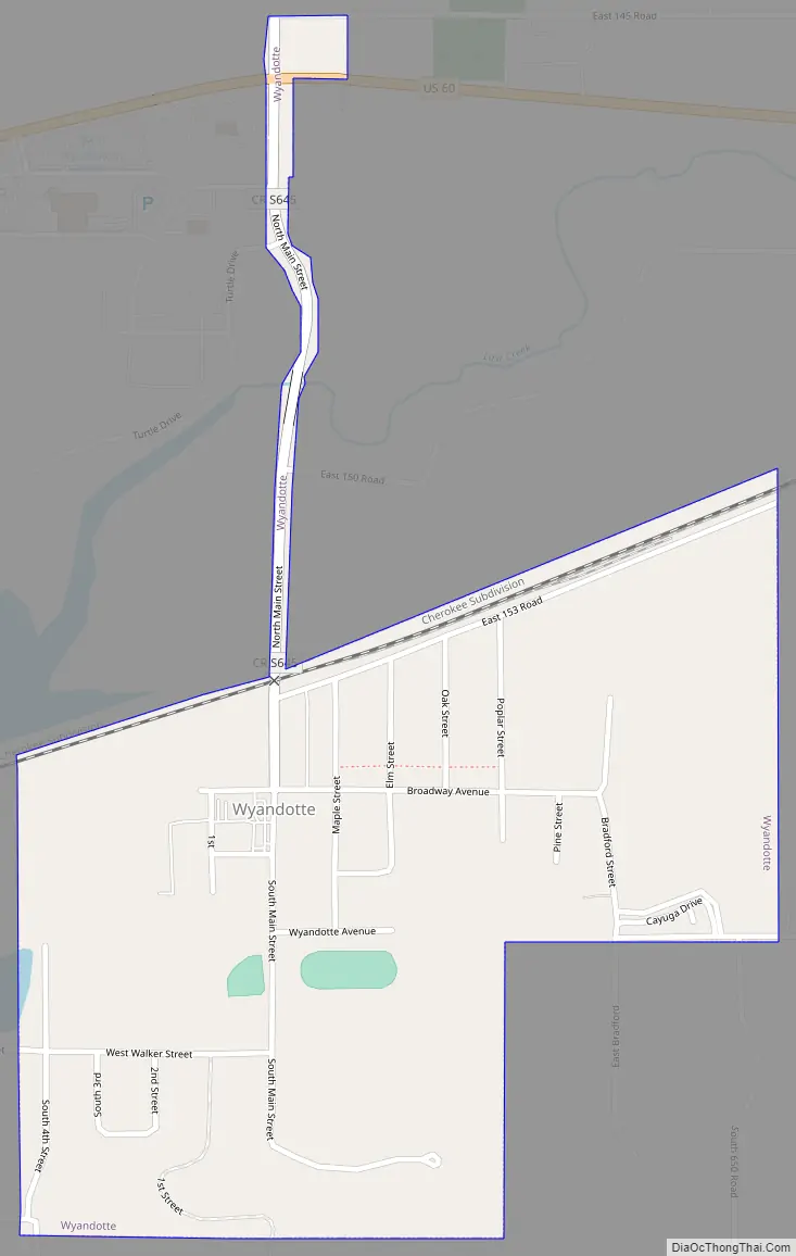
Wyandotte Road Map
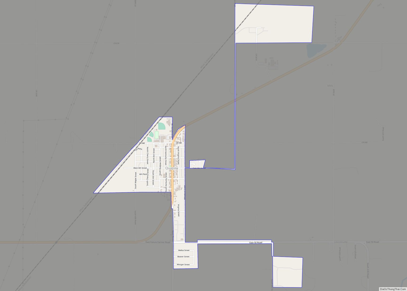
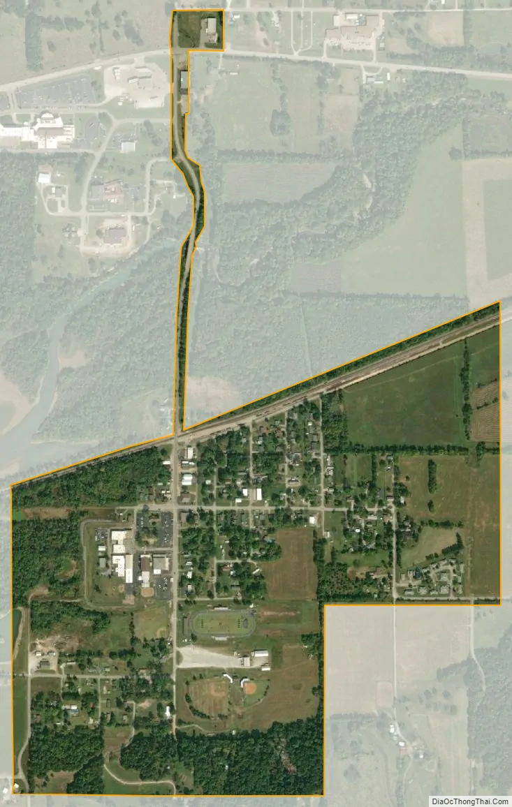
Wyandotte city Satellite Map
Geography
Wyandotte is located at 36°47′41″N 94°43′25″W / 36.79472°N 94.72361°W / 36.79472; -94.72361 (36.794770, -94.723488). It is 12 miles (19 km) southeast of Miami.
According to the United States Census Bureau, the town has a total area of 0.5 square miles (1.3 km), all land.
See also
Map of Oklahoma State and its subdivision:- Adair
- Alfalfa
- Atoka
- Beaver
- Beckham
- Blaine
- Bryan
- Caddo
- Canadian
- Carter
- Cherokee
- Choctaw
- Cimarron
- Cleveland
- Coal
- Comanche
- Cotton
- Craig
- Creek
- Custer
- Delaware
- Dewey
- Ellis
- Garfield
- Garvin
- Grady
- Grant
- Greer
- Harmon
- Harper
- Haskell
- Hughes
- Jackson
- Jefferson
- Johnston
- Kay
- Kingfisher
- Kiowa
- Latimer
- Le Flore
- Lincoln
- Logan
- Love
- Major
- Marshall
- Mayes
- McClain
- McCurtain
- McIntosh
- Murray
- Muskogee
- Noble
- Nowata
- Okfuskee
- Oklahoma
- Okmulgee
- Osage
- Ottawa
- Pawnee
- Payne
- Pittsburg
- Pontotoc
- Pottawatomie
- Pushmataha
- Roger Mills
- Rogers
- Seminole
- Sequoyah
- Stephens
- Texas
- Tillman
- Tulsa
- Wagoner
- Washington
- Washita
- Woods
- Woodward
- Alabama
- Alaska
- Arizona
- Arkansas
- California
- Colorado
- Connecticut
- Delaware
- District of Columbia
- Florida
- Georgia
- Hawaii
- Idaho
- Illinois
- Indiana
- Iowa
- Kansas
- Kentucky
- Louisiana
- Maine
- Maryland
- Massachusetts
- Michigan
- Minnesota
- Mississippi
- Missouri
- Montana
- Nebraska
- Nevada
- New Hampshire
- New Jersey
- New Mexico
- New York
- North Carolina
- North Dakota
- Ohio
- Oklahoma
- Oregon
- Pennsylvania
- Rhode Island
- South Carolina
- South Dakota
- Tennessee
- Texas
- Utah
- Vermont
- Virginia
- Washington
- West Virginia
- Wisconsin
- Wyoming