Wynona is an incorporated town in central Osage County, Oklahoma, United States. It was founded by a local Osage-Cherokee rancher, Antoine Rogers, in 1903. The population was 437 at the 2010 census, a 17.7 percent decline from 531 in 2000.
| Name: | Wynona town |
|---|---|
| LSAD Code: | 43 |
| LSAD Description: | town (suffix) |
| State: | Oklahoma |
| County: | Osage County |
| Elevation: | 906 ft (276 m) |
| Total Area: | 0.55 sq mi (1.42 km²) |
| Land Area: | 0.55 sq mi (1.42 km²) |
| Water Area: | 0.00 sq mi (0.00 km²) |
| Total Population: | 370 |
| Population Density: | 673.95/sq mi (260.16/km²) |
| ZIP code: | 74084 |
| Area code: | 539/918 |
| FIPS code: | 4082450 |
| GNISfeature ID: | 1100029 |
Online Interactive Map
Click on ![]() to view map in "full screen" mode.
to view map in "full screen" mode.
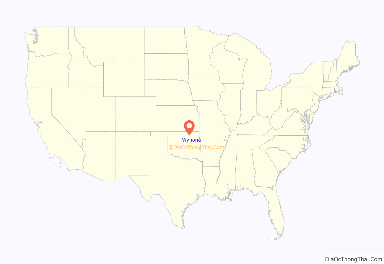
Wynona location map. Where is Wynona town?
History
An Osage-Cherokee rancher, Antoine Rogers, settled in the area that would become the town of Wynona in 1871, after the Osage tribe had been removed from Kansas to Indian Territory by the U. S. Government. In 1903, the Missouri, Kansas and Texas Railway (also known as the MK&T or Katy railroad) built a line across Rogers’s land. A store was built adjacent to the track, and that event is considered the establishment of Wynona, which soon became a cattle shipping point.
The Osage Townsite Company began development of the town in 1909. By the end of the year, the population had grown from 20 to over 150 residents. The first local newspaper, a weekly named the Wynona Enterprise, appeared in August 1909.
Oil was discovered near Wynona in 1914, and led to the creation of Wynona Oil and Gas Company. This caused an influx of new residents to support the local oil industry. Wynona’s 1920 census reported 2,749 inhabitants. Wynona remained important for its agriculture and ranching business. Ranchers diversified into producing hogs, poultry and dairy products. However, the town failed to put in electric service and paved streets, causing some businessmen to move elsewhere. The end of the boom in Osage County oil production and the onset of the Great Depression caused the population to decline sharply to 1,171 in 1930 and to 652 in 1960. The MK&T abandoned its rail line in 1977.
On March 22, 1946, the town was struck by a violent tornado, estimated by tornado expert Thomas P. Grazulis to have been F4 intensity on the Fujita scale. The tornado destroyed a power plant, 15 homes, and damaged ten other homes as it travelled along a short path of 3 miles (4.8 km) with a width of 800 yards (730 m). A 500 pounds (230 kg) piece of machinery was carried for 0.5 miles (0.80 km) by the tornado. Damage was estimated at $150,000 (1946 USD).
Wynona Road Map
Wynona city Satellite Map
Geography
Wynona is located at 36°32′44″N 96°19′33″W / 36.54556°N 96.32583°W / 36.54556; -96.32583 (36.545583, -96.325962). According to the United States Census Bureau, the town has a total area of 0.5 square miles (1.3 km), all land.
See also
Map of Oklahoma State and its subdivision:- Adair
- Alfalfa
- Atoka
- Beaver
- Beckham
- Blaine
- Bryan
- Caddo
- Canadian
- Carter
- Cherokee
- Choctaw
- Cimarron
- Cleveland
- Coal
- Comanche
- Cotton
- Craig
- Creek
- Custer
- Delaware
- Dewey
- Ellis
- Garfield
- Garvin
- Grady
- Grant
- Greer
- Harmon
- Harper
- Haskell
- Hughes
- Jackson
- Jefferson
- Johnston
- Kay
- Kingfisher
- Kiowa
- Latimer
- Le Flore
- Lincoln
- Logan
- Love
- Major
- Marshall
- Mayes
- McClain
- McCurtain
- McIntosh
- Murray
- Muskogee
- Noble
- Nowata
- Okfuskee
- Oklahoma
- Okmulgee
- Osage
- Ottawa
- Pawnee
- Payne
- Pittsburg
- Pontotoc
- Pottawatomie
- Pushmataha
- Roger Mills
- Rogers
- Seminole
- Sequoyah
- Stephens
- Texas
- Tillman
- Tulsa
- Wagoner
- Washington
- Washita
- Woods
- Woodward
- Alabama
- Alaska
- Arizona
- Arkansas
- California
- Colorado
- Connecticut
- Delaware
- District of Columbia
- Florida
- Georgia
- Hawaii
- Idaho
- Illinois
- Indiana
- Iowa
- Kansas
- Kentucky
- Louisiana
- Maine
- Maryland
- Massachusetts
- Michigan
- Minnesota
- Mississippi
- Missouri
- Montana
- Nebraska
- Nevada
- New Hampshire
- New Jersey
- New Mexico
- New York
- North Carolina
- North Dakota
- Ohio
- Oklahoma
- Oregon
- Pennsylvania
- Rhode Island
- South Carolina
- South Dakota
- Tennessee
- Texas
- Utah
- Vermont
- Virginia
- Washington
- West Virginia
- Wisconsin
- Wyoming
