Alton is a town in northwest Kane County, Utah, United States. The population was 119 at the 2010 census, a decrease from the 2000 figure of 134.
| Name: | Alton town |
|---|---|
| LSAD Code: | 43 |
| LSAD Description: | town (suffix) |
| State: | Utah |
| County: | Kane County |
| Founded: | 1907 |
| Incorporated: | 1935 |
| Elevation: | 7,041 ft (2,146 m) |
| Total Area: | 2.33 sq mi (6.02 km²) |
| Land Area: | 2.29 sq mi (5.93 km²) |
| Water Area: | 0.04 sq mi (0.10 km²) |
| Total Population: | 119 |
| Population Density: | 52.45/sq mi (20.25/km²) |
| ZIP code: | 84710 |
| Area code: | 435 |
| FIPS code: | 4900870 |
| GNISfeature ID: | 1438182 |
Online Interactive Map
Click on ![]() to view map in "full screen" mode.
to view map in "full screen" mode.
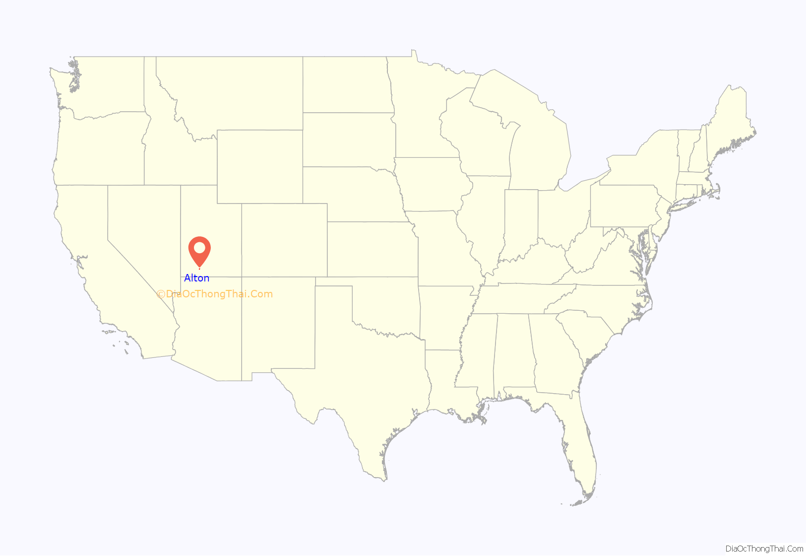
Alton location map. Where is Alton town?
History
Alton was first settled by Lorenzo Wesley Roundy in 1865 and was originally called “Roundys Station”. Roundy’s family was forced to leave due to conflicts with the local indigenous tribes. The community was later called “Graham”, after Graham Duncan McDonald, a local pioneer. Over the years, many names have been discussed, but a consensus could not be reached. In 1912, a drawing was held at a community event to determine the community’s name. Charles R. Pugh, who had been reading about the Alton Fjord in Norway, suggested the name, and it was pulled from the hat by a two-year-old child.
Alton Road Map
Alton city Satellite Map
Geography
Alton is in northwestern Kane County, in a sloping valley known as the “Alton Amphitheater”, 4 miles (6 km) east of U.S. Route 89 along Utah State Route 136. Kanab Creek flows past the east side of the community.
According to the United States Census Bureau, the town has a total area of 2.1 square miles (5.5 km), of which 0.04 square miles (0.1 km), or 1.74%, are water.
Climate
Alton has a warm-summer continental climate (Köppen Dsb).
See also
Map of Utah State and its subdivision: Map of other states:- Alabama
- Alaska
- Arizona
- Arkansas
- California
- Colorado
- Connecticut
- Delaware
- District of Columbia
- Florida
- Georgia
- Hawaii
- Idaho
- Illinois
- Indiana
- Iowa
- Kansas
- Kentucky
- Louisiana
- Maine
- Maryland
- Massachusetts
- Michigan
- Minnesota
- Mississippi
- Missouri
- Montana
- Nebraska
- Nevada
- New Hampshire
- New Jersey
- New Mexico
- New York
- North Carolina
- North Dakota
- Ohio
- Oklahoma
- Oregon
- Pennsylvania
- Rhode Island
- South Carolina
- South Dakota
- Tennessee
- Texas
- Utah
- Vermont
- Virginia
- Washington
- West Virginia
- Wisconsin
- Wyoming
