Amalga (/əˈmælɡə/ ə-MAL-gə) is a town in Cache County, Utah, United States. The population was 488 at the 2010 census. It is included in the Logan, Utah–Idaho (partial) Metropolitan Statistical Area.
Many of the town’s population are dairy farmers, with many families owning their own herds. The town contains the Cache Valley Cheese plant. Nearby Smithfield shares its post office and library with the town.
| Name: | Amalga town |
|---|---|
| LSAD Code: | 43 |
| LSAD Description: | town (suffix) |
| State: | Utah |
| County: | Cache County |
| Incorporated: | 1938 |
| Elevation: | 4,439 ft (1,353 m) |
| Total Area: | 3.61 sq mi (9.35 km²) |
| Land Area: | 3.48 sq mi (9.02 km²) |
| Water Area: | 0.12 sq mi (0.32 km²) |
| Total Population: | 488 |
| Population Density: | 160.11/sq mi (61.83/km²) |
| ZIP code: | 84335 |
| Area code: | 435 |
| FIPS code: | 4901090 |
| GNISfeature ID: | 1437485 |
| Website: | www.amalgatown.com |
Online Interactive Map
Click on ![]() to view map in "full screen" mode.
to view map in "full screen" mode.
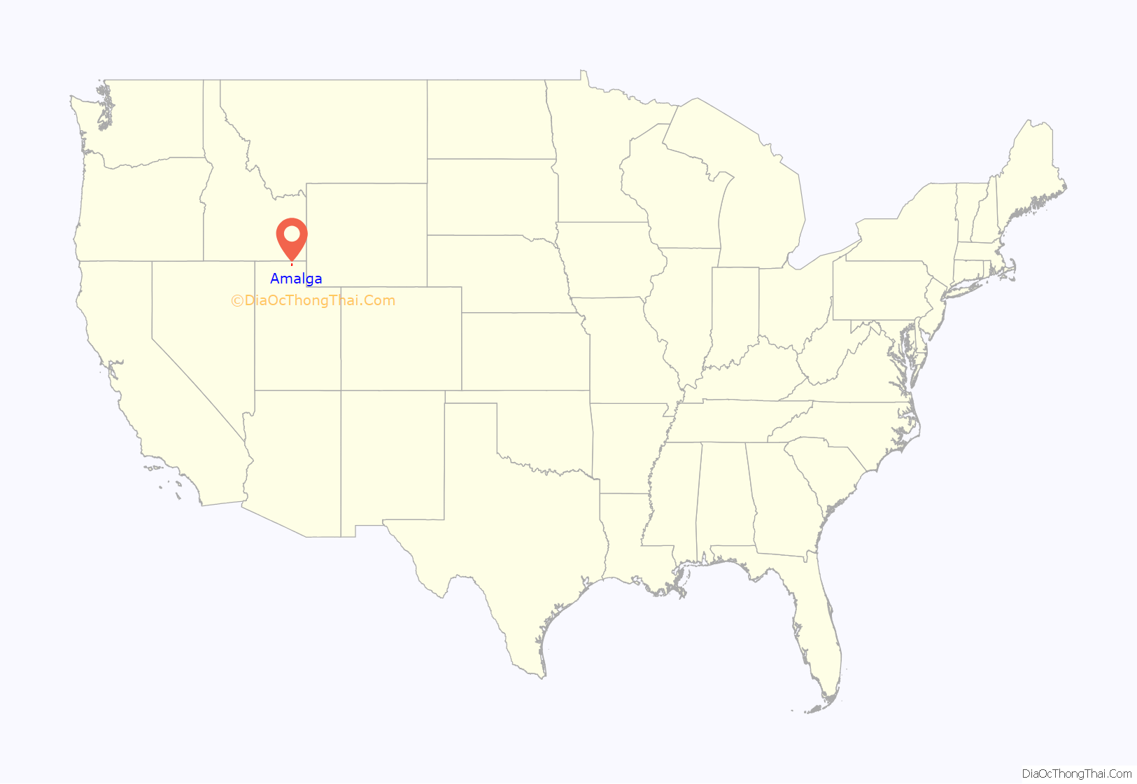
Amalga location map. Where is Amalga town?
History
Amalga was settled by Mormon settler Hans Jorgensen in 1869. Other settlers began arriving in 1891. By March 22, 1891, when the Alto Branch of the LDS Church was organized, the town had a schoolhouse that was used for social gatherings and church meetings.
In 1916, the Amalgamated Sugar Company agreed to build a factory in town to process sugar beets, and the town name became Amalga. A spur line was established by the Utah Idaho Central Railroad, and a large hotel opened. The factory, built by Dyer Construction Company, was built by the 1917 season for $900,000.
Coinciding with the organization of the city, the Amalga Ward of the LDS Church was established on March 10, 1918, choosing its name from the Amalgamated Sugar Company.
The factory was shut down in 1929 due to the sugar beet blight. The equipment was dismantled and reassembled in Sacramento, California. The hotel was torn down, as were the workers’ houses. The railroad was also removed, and sugar beets were shipped by truck to Smithfield, then taken to a factory in Lewiston for processing. The warehouse and land was sold to the “Tueller brothers” in late 1937.
In 1941, the Cache Valley Dairy Association purchased the former sugar beet plant to allow the co-op to process their own milk into Swiss cheese. The co-op hired Edwin Gossner to produce the cheese, which he did from 1942 until 1966, when he left to form Gossner Foods in west Logan.
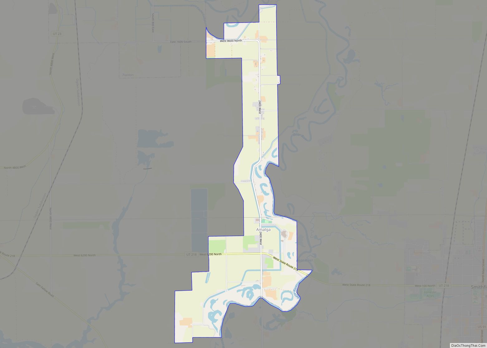
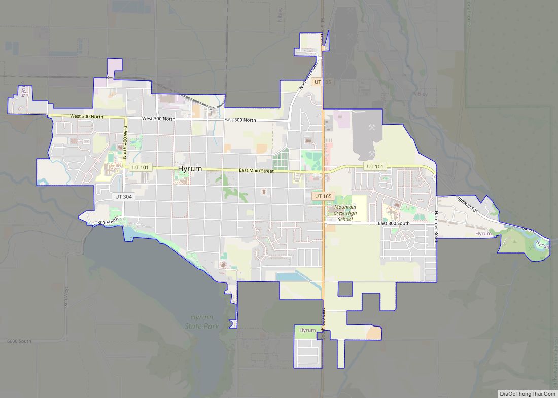
Amalga Road Map
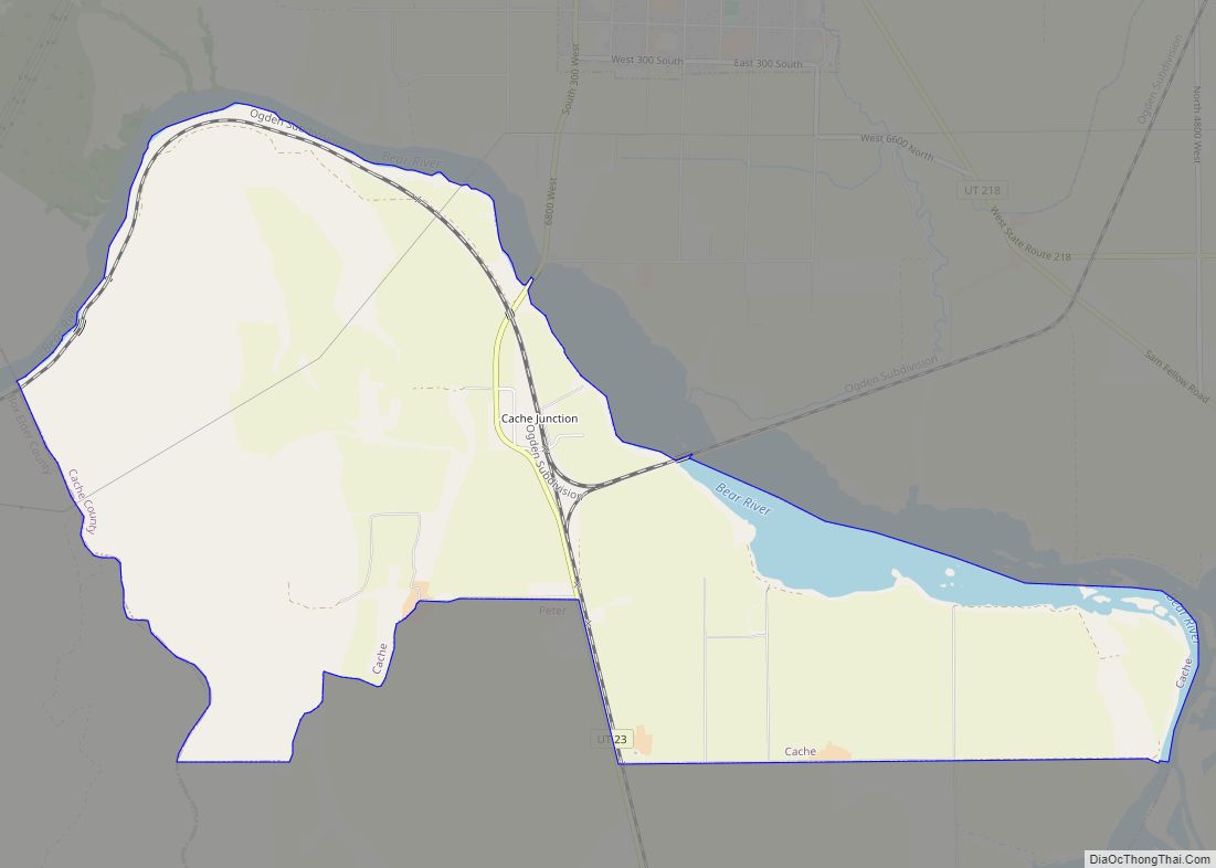
Amalga city Satellite Map
Geography
According to the United States Census Bureau, the town has a total area of 3.5 square miles (9.1 km), of which 3.4 square miles (8.7 km) is land and 0.2 square mile (0.4 km) (4.26%) is water. Most of the water is in a single swamp north of the cheese factory.
See also
Map of Utah State and its subdivision: Map of other states:- Alabama
- Alaska
- Arizona
- Arkansas
- California
- Colorado
- Connecticut
- Delaware
- District of Columbia
- Florida
- Georgia
- Hawaii
- Idaho
- Illinois
- Indiana
- Iowa
- Kansas
- Kentucky
- Louisiana
- Maine
- Maryland
- Massachusetts
- Michigan
- Minnesota
- Mississippi
- Missouri
- Montana
- Nebraska
- Nevada
- New Hampshire
- New Jersey
- New Mexico
- New York
- North Carolina
- North Dakota
- Ohio
- Oklahoma
- Oregon
- Pennsylvania
- Rhode Island
- South Carolina
- South Dakota
- Tennessee
- Texas
- Utah
- Vermont
- Virginia
- Washington
- West Virginia
- Wisconsin
- Wyoming
