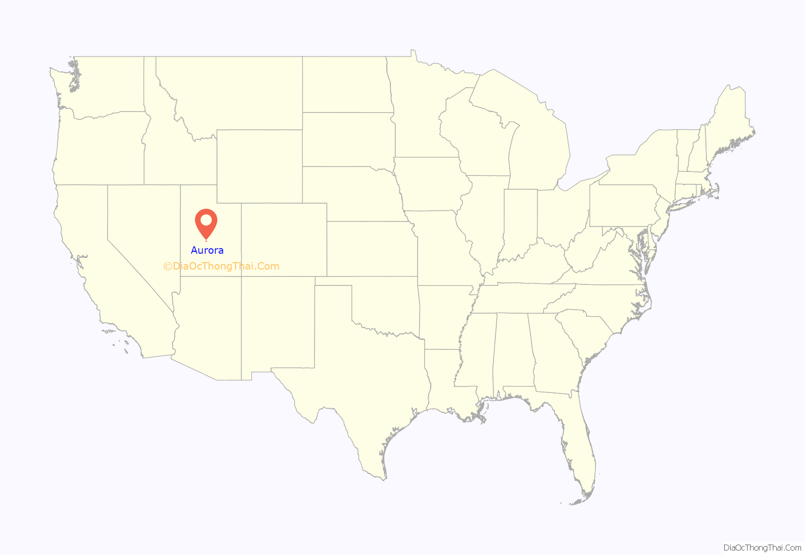
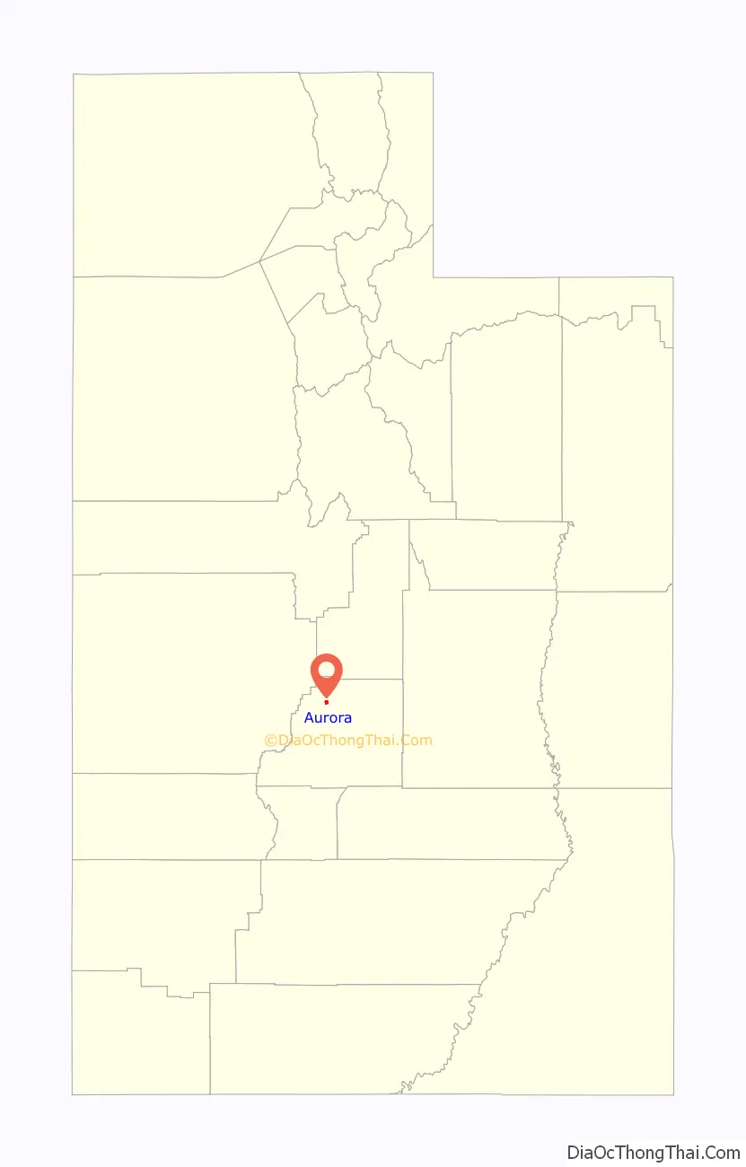
Aurora is a city in north-central Sevier County, Utah, United States. The population was 1,016 at the 2010 census.
Aurora is predominantly supported by agriculture, coal mining, and the service sector. Most residents commute to one of the neighboring communities to work. Children are schooled in Salina at one of the three public schools. The current growth in the community is attributed to the growth of business and industry in the region.
| Name: | Aurora city |
|---|---|
| LSAD Code: | 25 |
| LSAD Description: | city (suffix) |
| State: | Utah |
| County: | Sevier County |
| Incorporated: | 1914 |
| Elevation: | 5,200 ft (1,585 m) |
| Total Area: | 0.92 sq mi (2.39 km²) |
| Land Area: | 0.92 sq mi (2.39 km²) |
| Water Area: | 0.00 sq mi (0.00 km²) |
| Total Population: | 1,016 |
| Population Density: | 1,138.53/sq mi (439.44/km²) |
| ZIP code: | 84620 |
| Area code: | 435 |
| FIPS code: | 4902740 |
| GNISfeature ID: | 1438307 |
| Website: | www.auroracity.org |
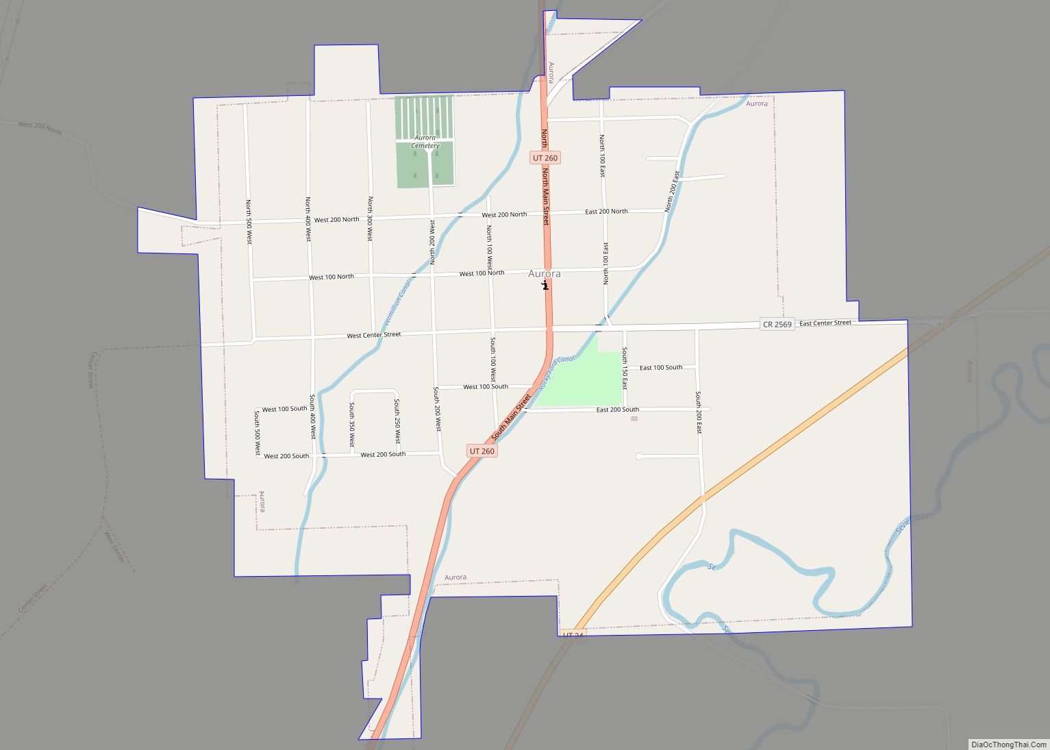
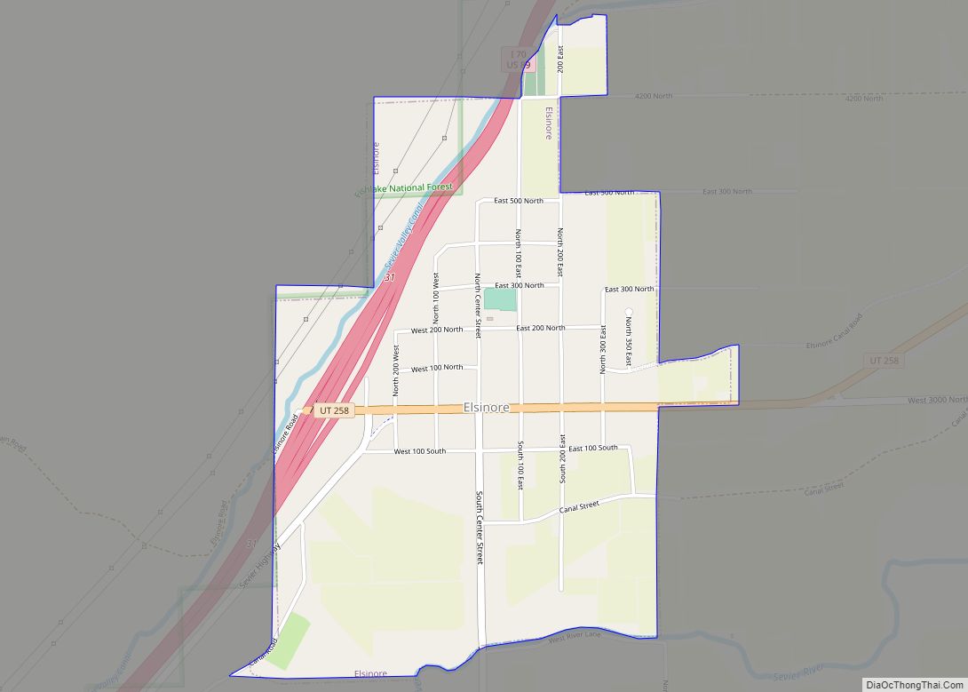
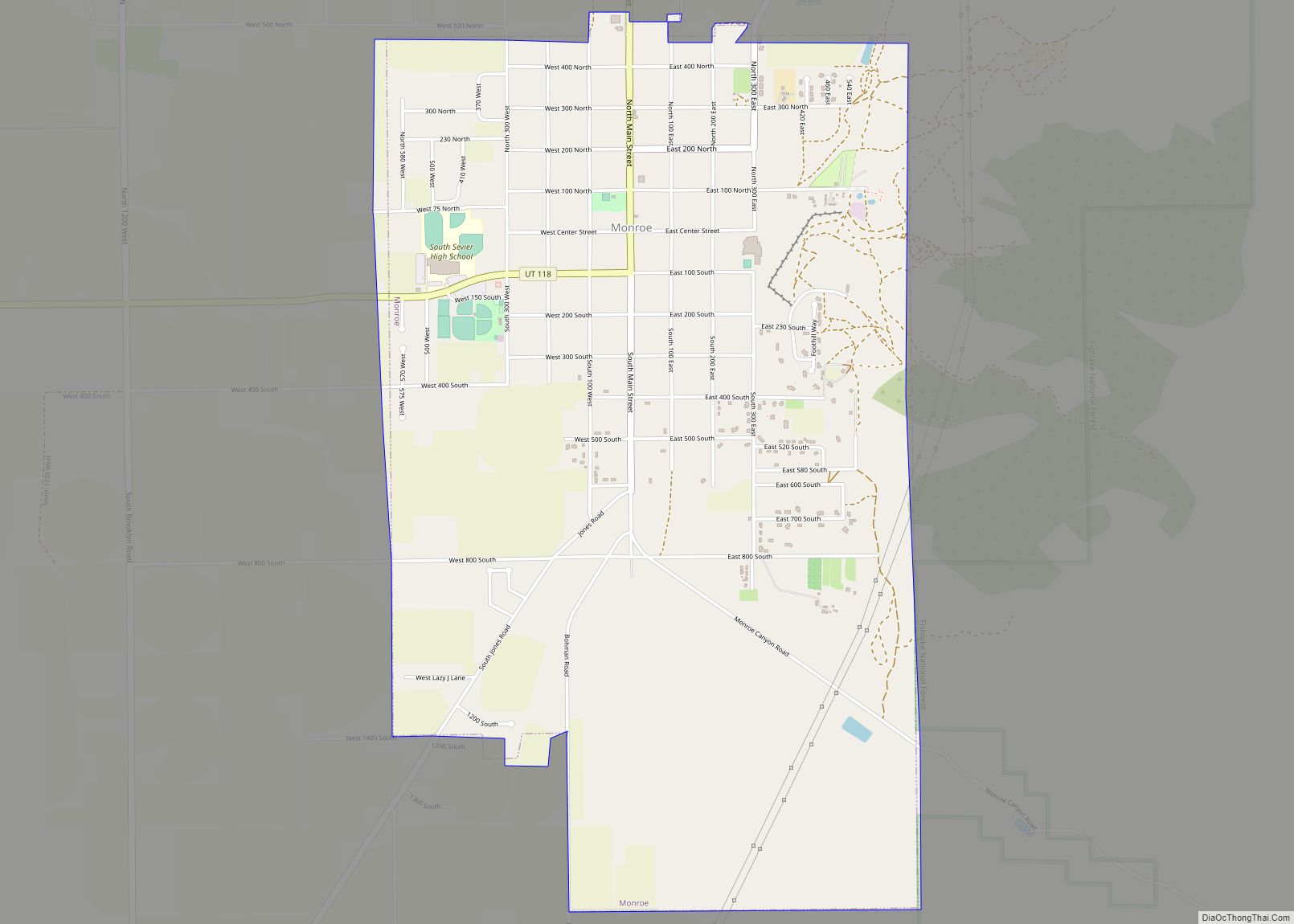
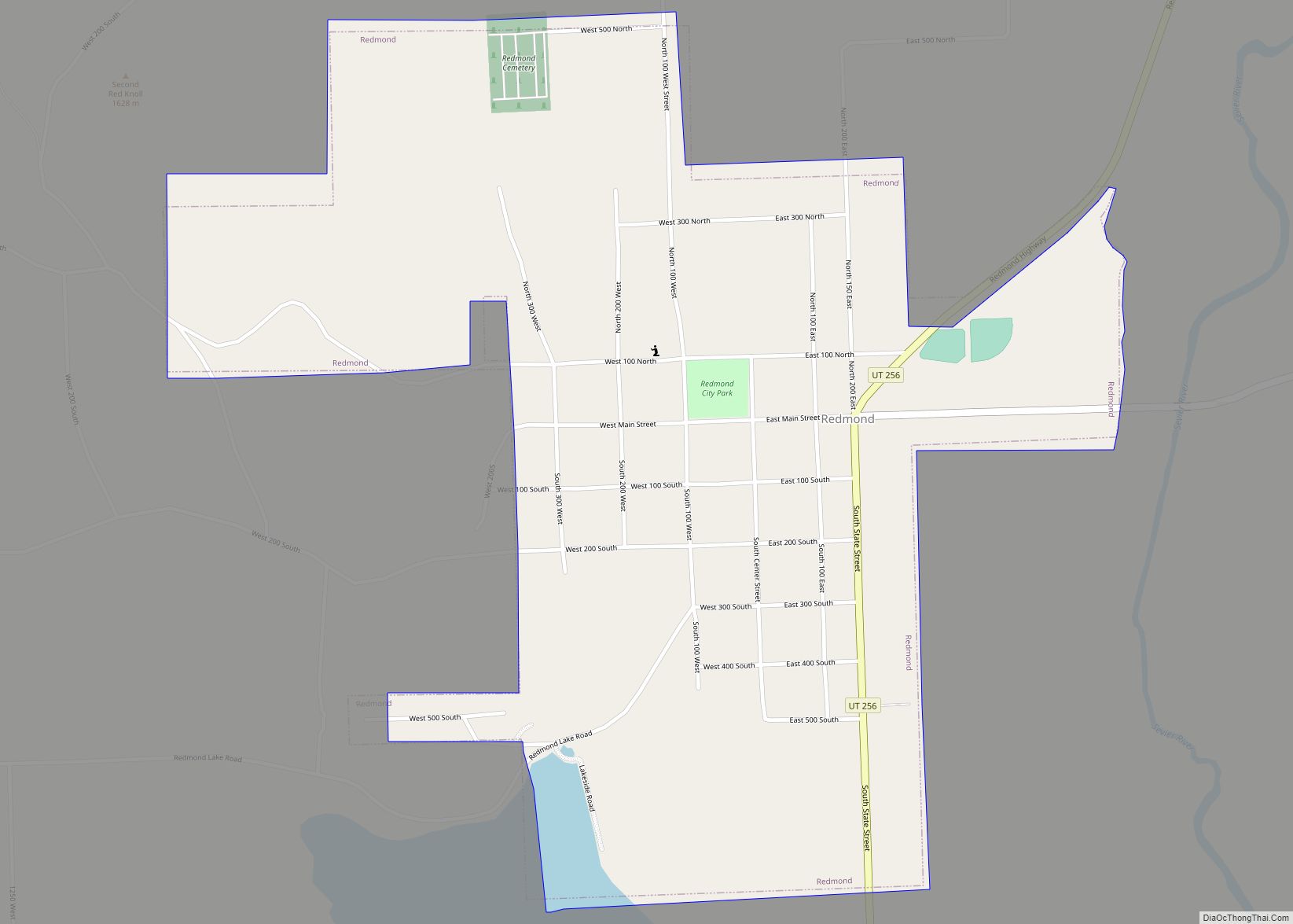
Online Interactive Map
Click on ![]() to view map in "full screen" mode.
to view map in "full screen" mode.
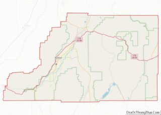
Aurora location map. Where is Aurora city?
History
Aurora was founded in 1875 by Ezra White (or Ezra Curtis, according to some accounts) and three other families along the banks of the Sevier River. Aurora’s settling came under the direction of Brigham Young. He called on families to settle in South Central Utah. Originally named Willow Bend, the name was changed to Aurora due to the presence of the Northern Lights. The city was moved west two to three miles along the Rocky Ford Canal to avoid the spring flooding accompanying life along the Sevier. This location also enabled significant cultivation of the foothills. Those families that settled in the region often left the comfortable surroundings of Northern Utah to settle in what one original resident described as a desolate region without a green tree in sight. Over time, however, settlers planted crops, and trees and utilized irrigation to create a very beautiful and livable community.
Nestled in the fertile Sevier Valley, Aurora slowly grew as more settlers moved west. While growth occurred more rapidly in the accompanying communities of Salina and Richfield, Aurora grew largely due to the settling of children of many of the large families in the city. Most current residents can track their lineage to one of the four founding families of the city.
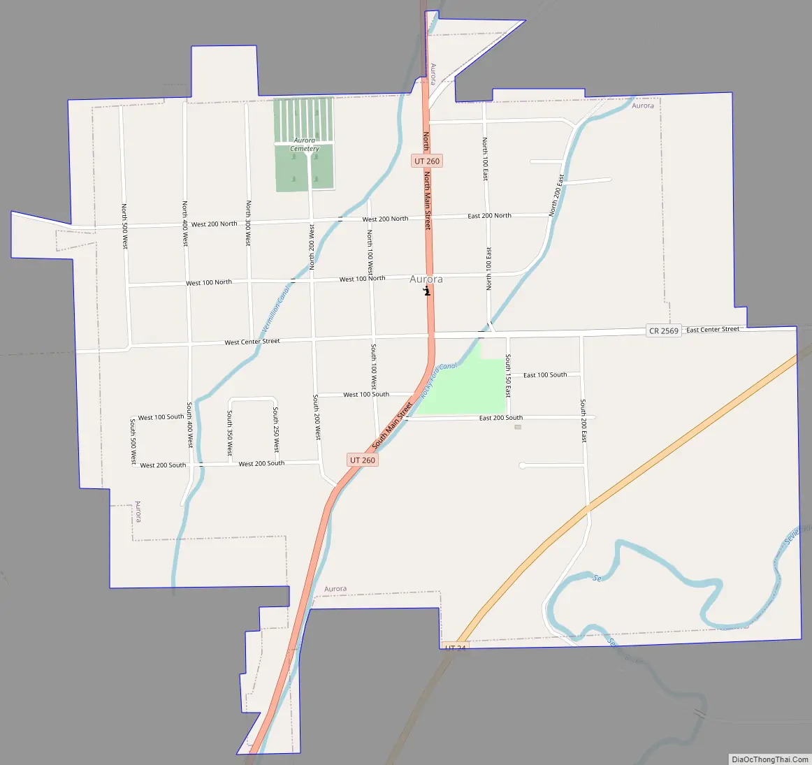
Aurora Road Map
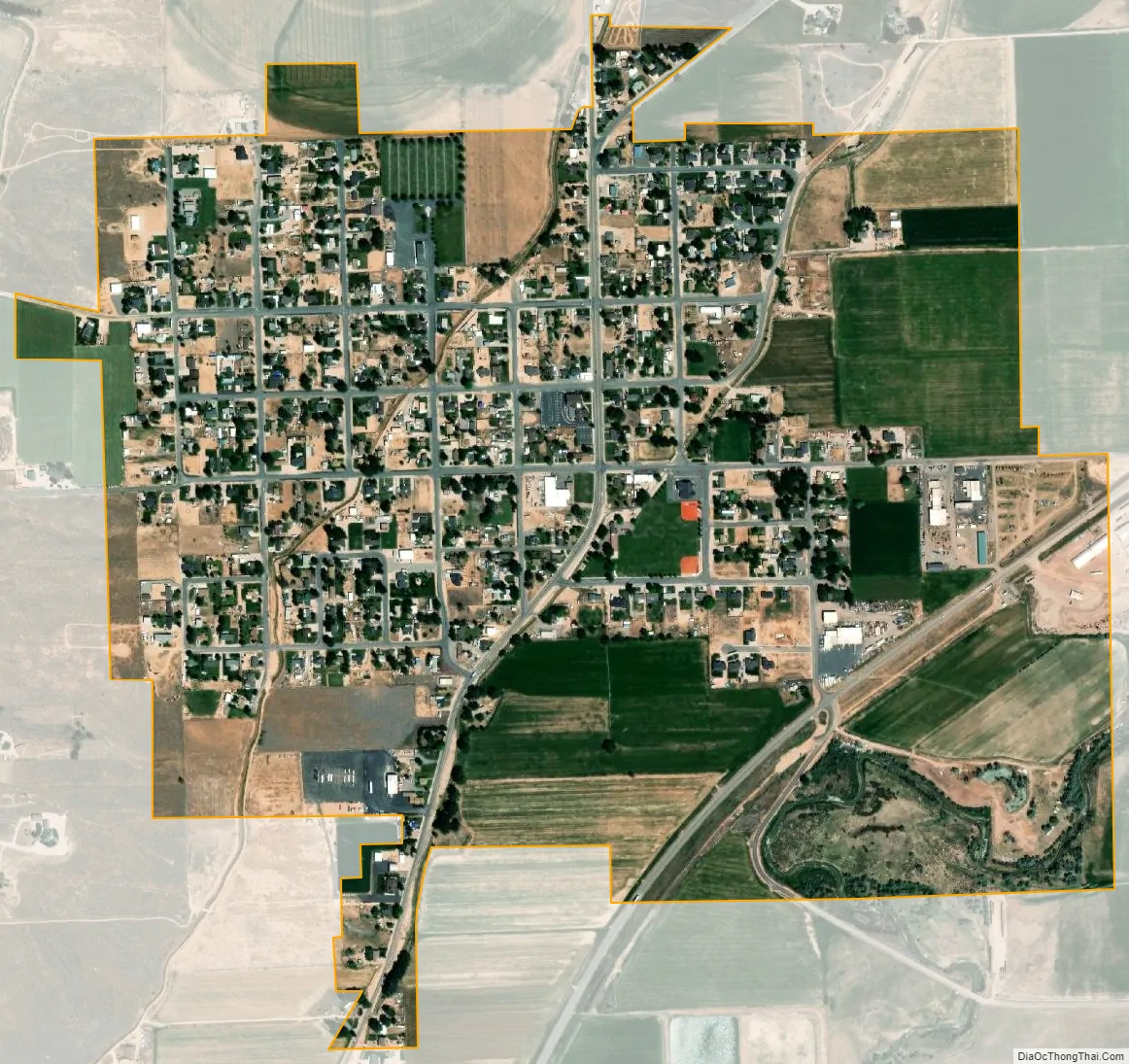
Aurora city Satellite Map
Geography
According to the United States Census Bureau, the city has a total area of 1 square mile (2.6 km), all land.
Climate
This climatic region is typified by large seasonal temperature differences, with warm to hot (and often humid) summers and cold (sometimes severely cold) winters. According to the Köppen Climate Classification system, Aurora has a humid continental climate, abbreviated “Dfb” on climate maps.
See also
Map of Utah State and its subdivision: Map of other states:- Alabama
- Alaska
- Arizona
- Arkansas
- California
- Colorado
- Connecticut
- Delaware
- District of Columbia
- Florida
- Georgia
- Hawaii
- Idaho
- Illinois
- Indiana
- Iowa
- Kansas
- Kentucky
- Louisiana
- Maine
- Maryland
- Massachusetts
- Michigan
- Minnesota
- Mississippi
- Missouri
- Montana
- Nebraska
- Nevada
- New Hampshire
- New Jersey
- New Mexico
- New York
- North Carolina
- North Dakota
- Ohio
- Oklahoma
- Oregon
- Pennsylvania
- Rhode Island
- South Carolina
- South Dakota
- Tennessee
- Texas
- Utah
- Vermont
- Virginia
- Washington
- West Virginia
- Wisconsin
- Wyoming