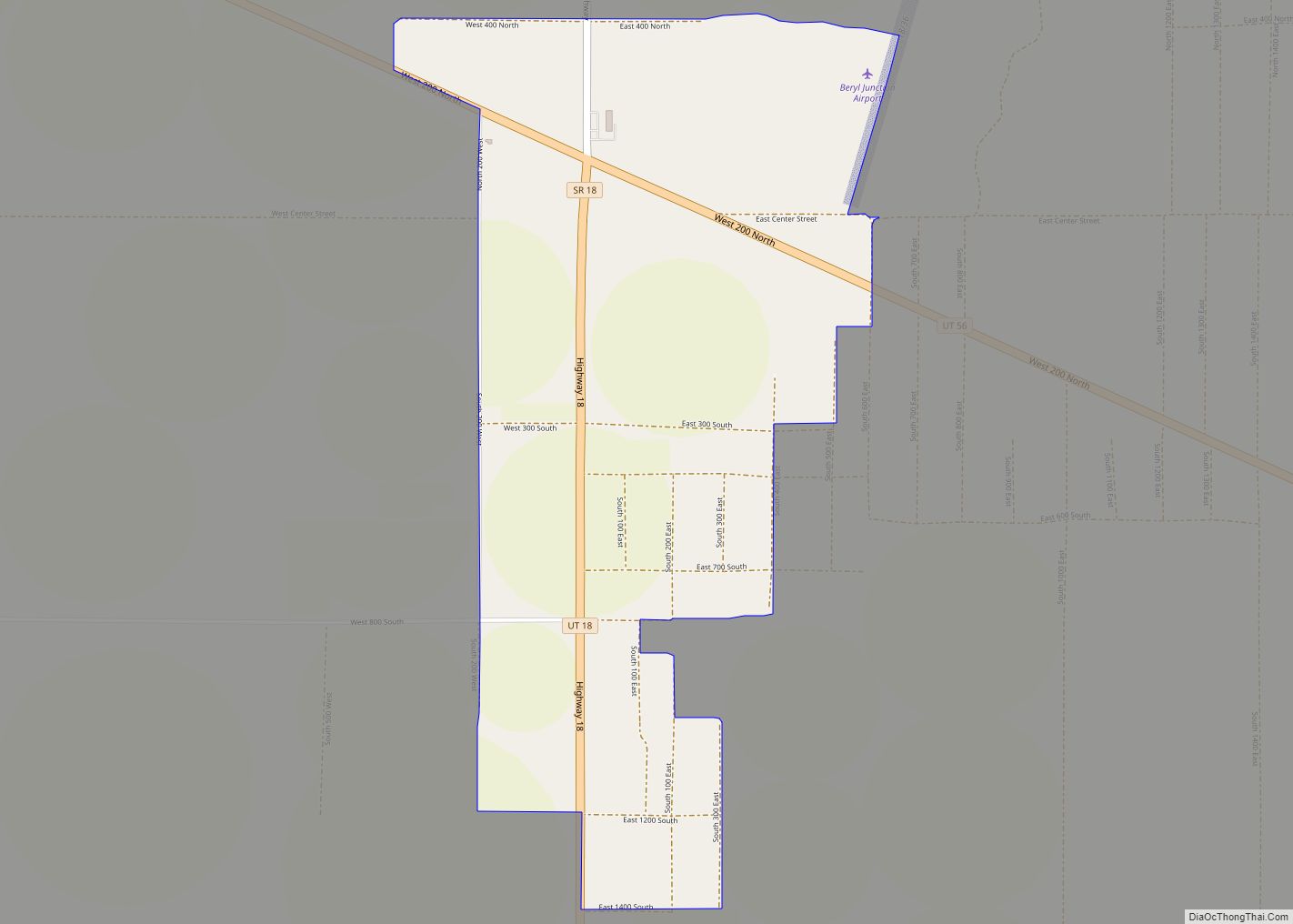
Beryl Junction (/ˈbɜːrəl/ BUR-əl) is a census-designated place (CDP) in Iron County, Utah, United States. The population was 197 at the 2010 census. Beryl Junction Airport, a small, private airport, is located here.
| Name: | Beryl Junction CDP |
|---|---|
| LSAD Code: | 57 |
| LSAD Description: | CDP (suffix) |
| State: | Utah |
| County: | Iron County |
| Founded: | 1909 |
| Elevation: | 5,187 ft (1,581 m) |
| Total Area: | 1.8 sq mi (5 km²) |
| Land Area: | 1.8 sq mi (5 km²) |
| Water Area: | 0.0 sq mi (0 km²) |
| Total Population: | 197 |
| Population Density: | 110/sq mi (42/km²) |
| ZIP code: | 84714 |
| Area code: | 435 |
| FIPS code: | 4905380 |
| GNISfeature ID: | 2629946 |
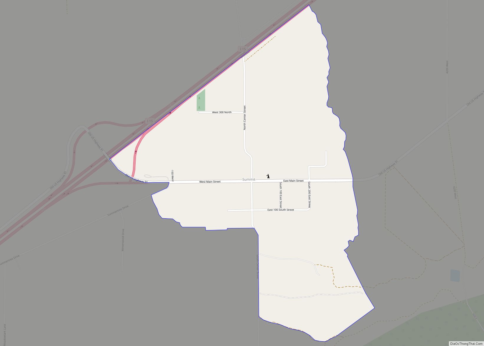
Online Interactive Map
Click on ![]() to view map in "full screen" mode.
to view map in "full screen" mode.
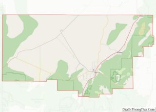
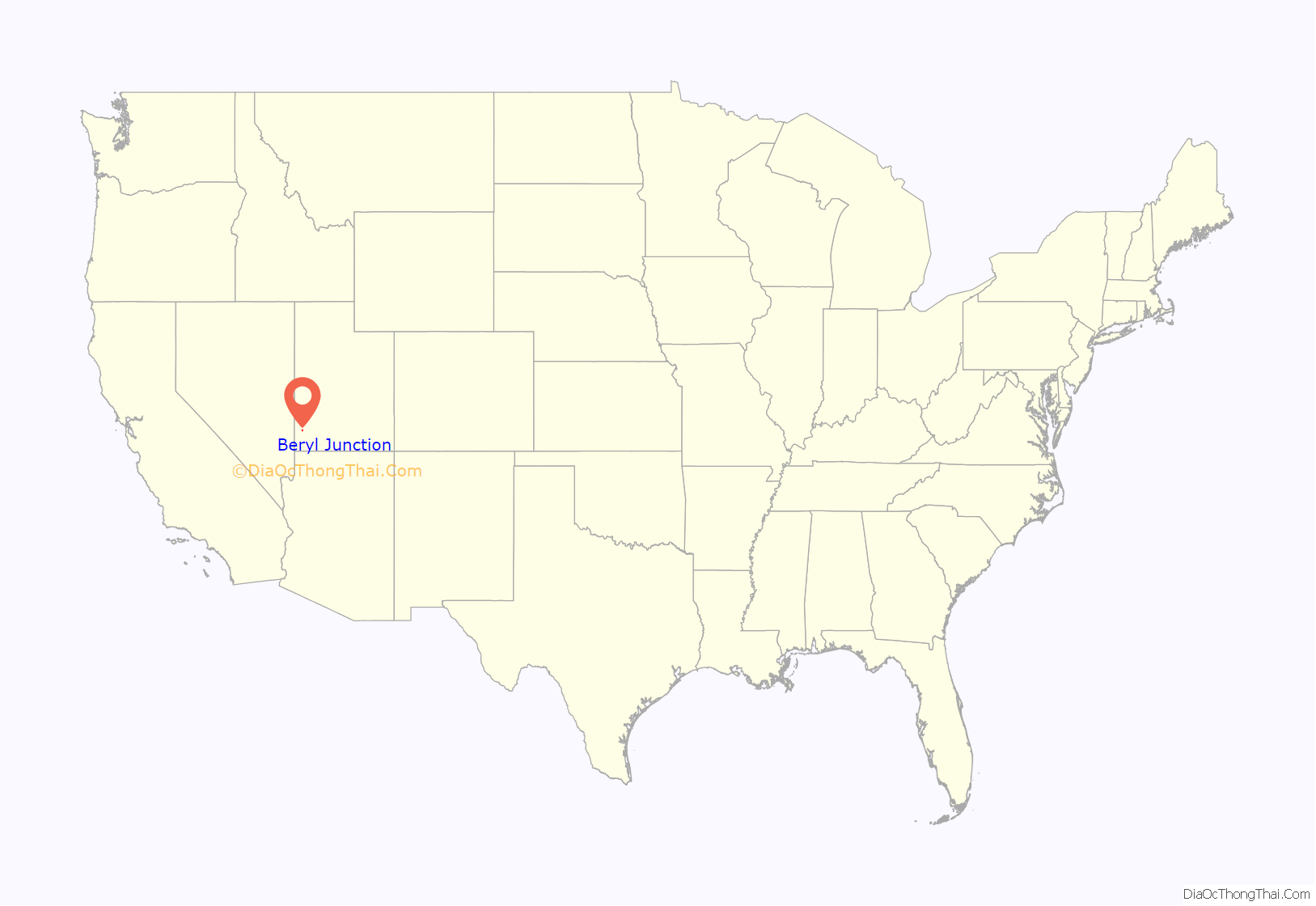
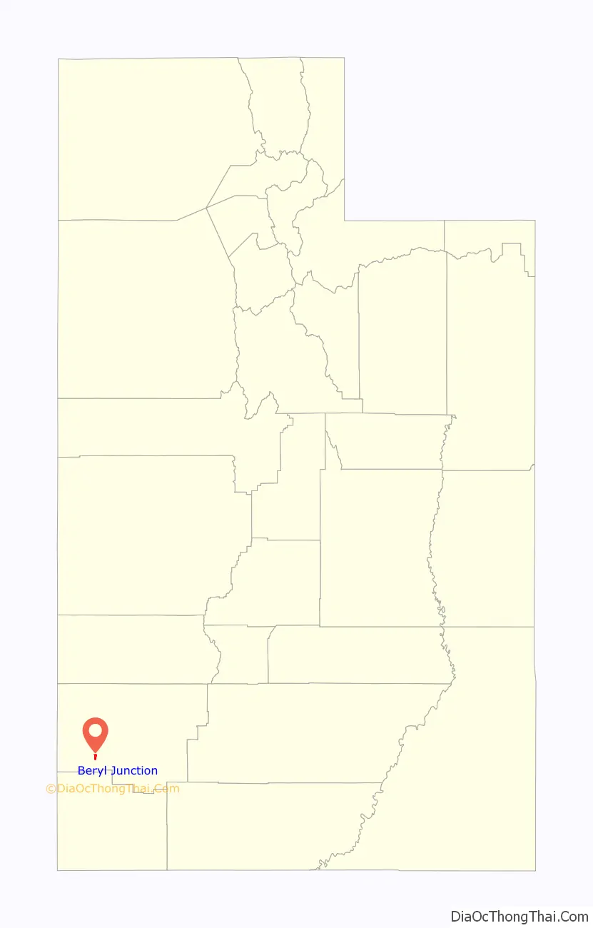
Beryl Junction location map. Where is Beryl Junction CDP?
History
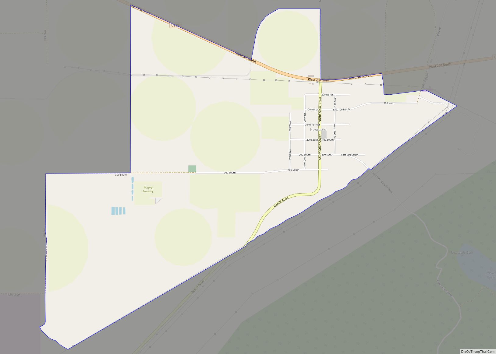
In 1909, the New Castle Reclamation Company invested in land near the Beryl Crossroads in the Escalante Valley. The company built a hotel to bring prospective buyers, promoting the land for agricultural development. The venture failed around 1915, but the community has grown slowly since then as modern irrigation techniques have made the farmland productive.
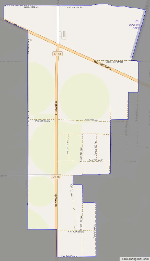
Beryl Junction Road Map
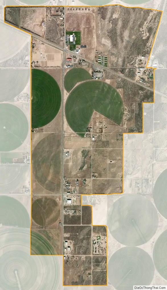
Beryl Junction city Satellite Map
Geography
Beryl Junction is located at (and specifically the name of) the junction of two state highways, SR-18 and SR-56, in the southwestern part of Iron County, some 7 miles (11 km) northwest of Newcastle. The city of Enterprise is about 12 miles (19 km) south, and the small community of Beryl is approximately 13 miles (21 km) north. Beryl Junction sits on the southern edge of the Escalante Desert. According to the United States Census Bureau, the CDP has a total area of 1.8 square miles (4.7 km), all land. Most of it lies to the southeast of the junction itself.
See also
Map of Utah State and its subdivision: Map of other states:- Alabama
- Alaska
- Arizona
- Arkansas
- California
- Colorado
- Connecticut
- Delaware
- District of Columbia
- Florida
- Georgia
- Hawaii
- Idaho
- Illinois
- Indiana
- Iowa
- Kansas
- Kentucky
- Louisiana
- Maine
- Maryland
- Massachusetts
- Michigan
- Minnesota
- Mississippi
- Missouri
- Montana
- Nebraska
- Nevada
- New Hampshire
- New Jersey
- New Mexico
- New York
- North Carolina
- North Dakota
- Ohio
- Oklahoma
- Oregon
- Pennsylvania
- Rhode Island
- South Carolina
- South Dakota
- Tennessee
- Texas
- Utah
- Vermont
- Virginia
- Washington
- West Virginia
- Wisconsin
- Wyoming