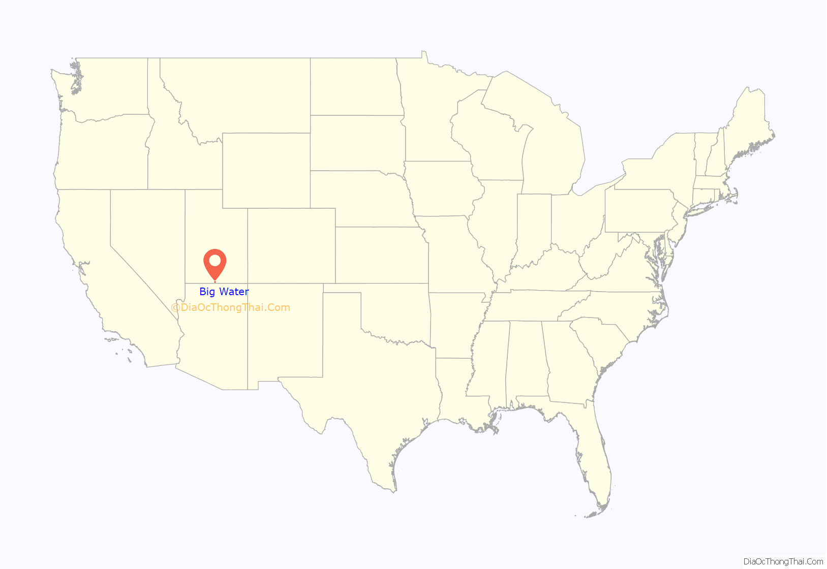
Big Water is a town in Kane County, Utah, United States. The population was 475 at the 2010 census, up from 417 at the 2000 census. It is located 17 miles (27 km) northwest of Page, Arizona, on US-89 near Lake Powell and the Glen Canyon Dam. It was originally called Glen Canyon City and housed workers who built the dam in the 1950s.
Big Water made news in the 1980s as a polygamous colony of the Joseph clan. It also made news in 1986, when the mayor Alex Joseph and the city council left the Republican Party to join the Libertarian Party. This made Joseph the first Libertarian mayor in the history of the U.S. Subsequently, Willy Marshall, also a Libertarian, was elected as the state’s first openly gay mayor in 2001.
It was the first place in the United States with a city council where every member was in the Libertarian Party.
| Name: | Big Water town |
|---|---|
| LSAD Code: | 43 |
| LSAD Description: | town (suffix) |
| State: | Utah |
| County: | Kane County |
| Incorporated: | December 29, 1983 |
| Elevation: | 4,108 ft (1,252 m) |
| Total Area: | 5.99 sq mi (15.52 km²) |
| Land Area: | 5.99 sq mi (15.52 km²) |
| Water Area: | 0.00 sq mi (0.00 km²) |
| Total Population: | 475 |
| Population Density: | 85.28/sq mi (32.92/km²) |
| ZIP code: | 84741 |
| Area code: | 435 |
| FIPS code: | 4905534 |
| GNISfeature ID: | 1455970 |
Online Interactive Map
Click on ![]() to view map in "full screen" mode.
to view map in "full screen" mode.
Big Water location map. Where is Big Water town?
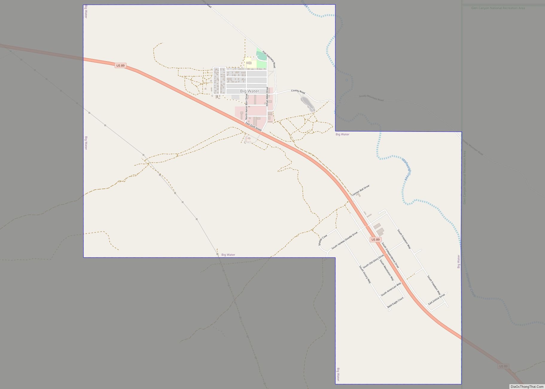
Big Water Road Map
Big Water city Satellite Map
Geography
According to the United States Census Bureau, the town has a total area of 6.2 square miles (16.0 km), all of it land.
Climate
According to the Köppen Climate Classification system, Big Water has a semi-arid climate, abbreviated “BSk” on climate maps.
See also
Map of Utah State and its subdivision: Map of other states:- Alabama
- Alaska
- Arizona
- Arkansas
- California
- Colorado
- Connecticut
- Delaware
- District of Columbia
- Florida
- Georgia
- Hawaii
- Idaho
- Illinois
- Indiana
- Iowa
- Kansas
- Kentucky
- Louisiana
- Maine
- Maryland
- Massachusetts
- Michigan
- Minnesota
- Mississippi
- Missouri
- Montana
- Nebraska
- Nevada
- New Hampshire
- New Jersey
- New Mexico
- New York
- North Carolina
- North Dakota
- Ohio
- Oklahoma
- Oregon
- Pennsylvania
- Rhode Island
- South Carolina
- South Dakota
- Tennessee
- Texas
- Utah
- Vermont
- Virginia
- Washington
- West Virginia
- Wisconsin
- Wyoming
