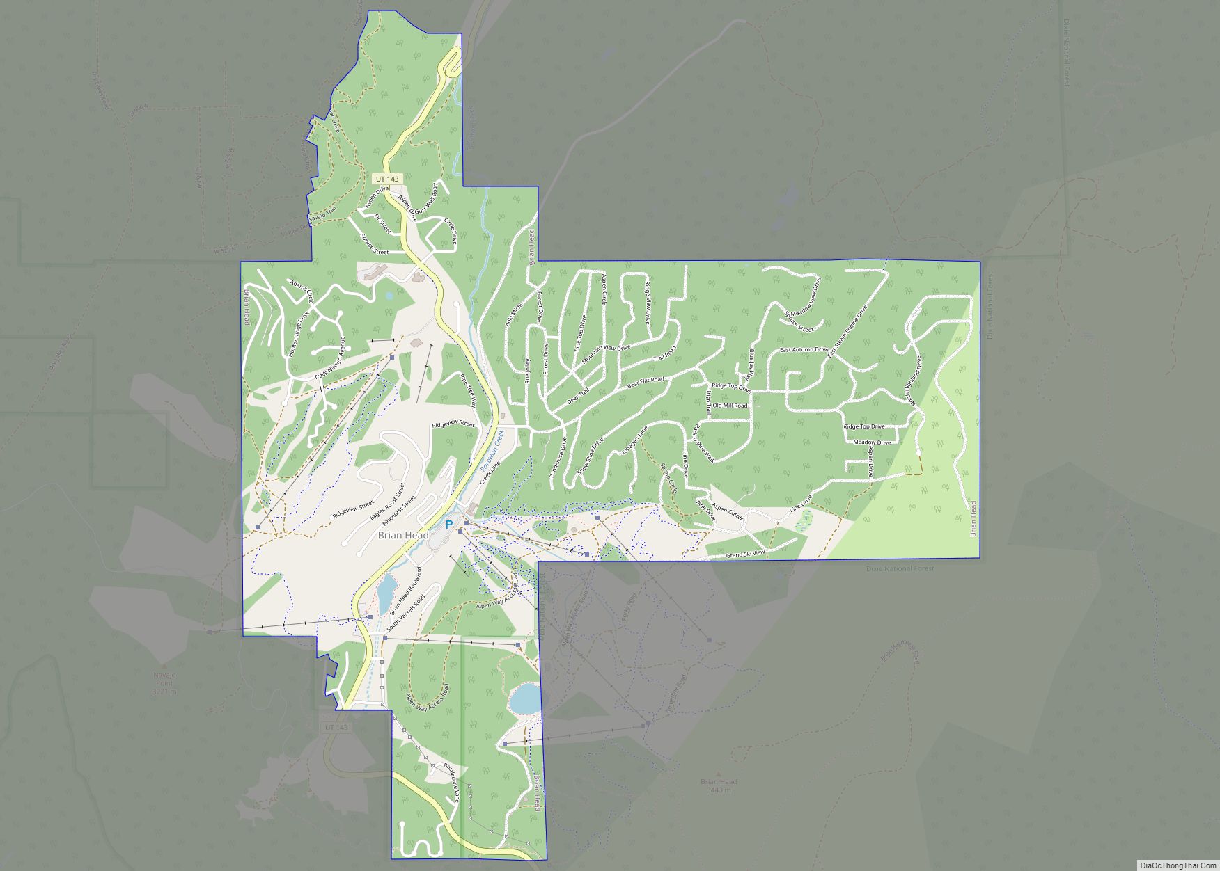
Brian Head is a town in Iron County, Utah, United States. The population was 83 at the 2010 census, a significant decrease from the 2000 figure of 118.
Brian Head is also the location of the Brian Head Ski Resort.
| Name: | Brian Head town |
|---|---|
| LSAD Code: | 43 |
| LSAD Description: | town (suffix) |
| State: | Utah |
| County: | Iron County |
| Incorporated: | March 1975 |
| Elevation: | 9,800 ft (2,987 m) |
| Total Area: | 3.65 sq mi (9.44 km²) |
| Land Area: | 3.65 sq mi (9.44 km²) |
| Water Area: | 0.00 sq mi (0.00 km²) |
| Total Population: | 83 |
| Population Density: | 25.51/sq mi (9.85/km²) |
| ZIP code: | 84719 |
| Area code: | 435 |
| FIPS code: | 4908020 |
| GNISfeature ID: | 1448176 |
Online Interactive Map
Click on ![]() to view map in "full screen" mode.
to view map in "full screen" mode.
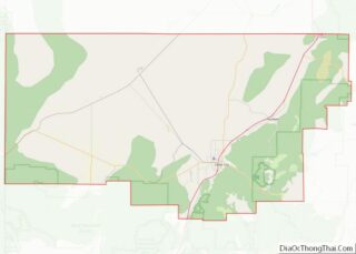
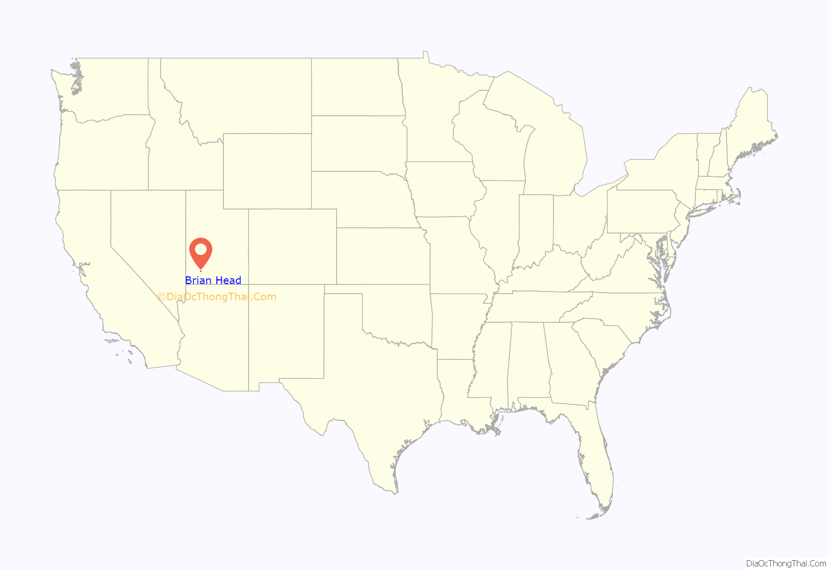
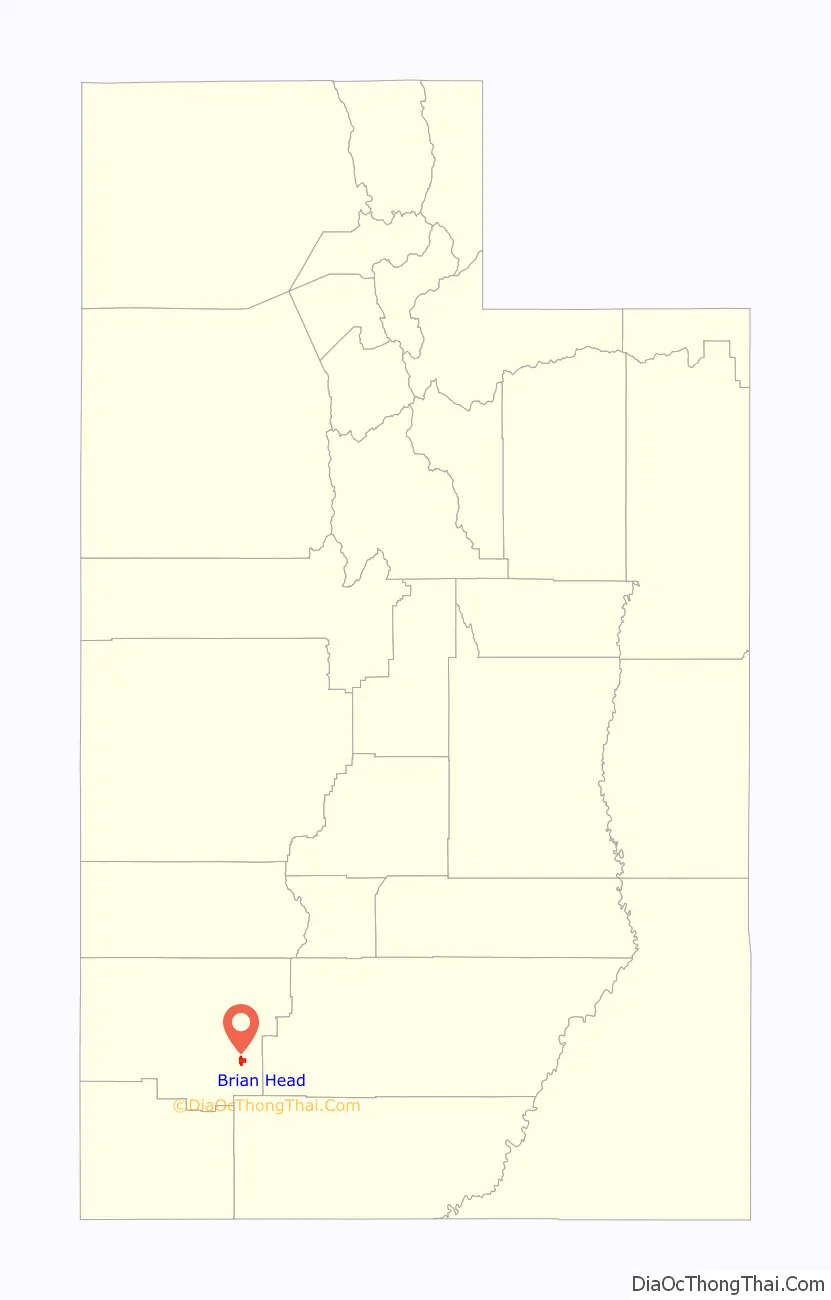
Brian Head location map. Where is Brian Head town?
History
The community was originally called “Monument Peak,” but was changed to the current name after 1900 for reasons no longer known, although probably related to the name of (or renaming to) Brian Head (mountain), in nearby Dixie National Forest.
In 1965, the Brian Head resort opened.
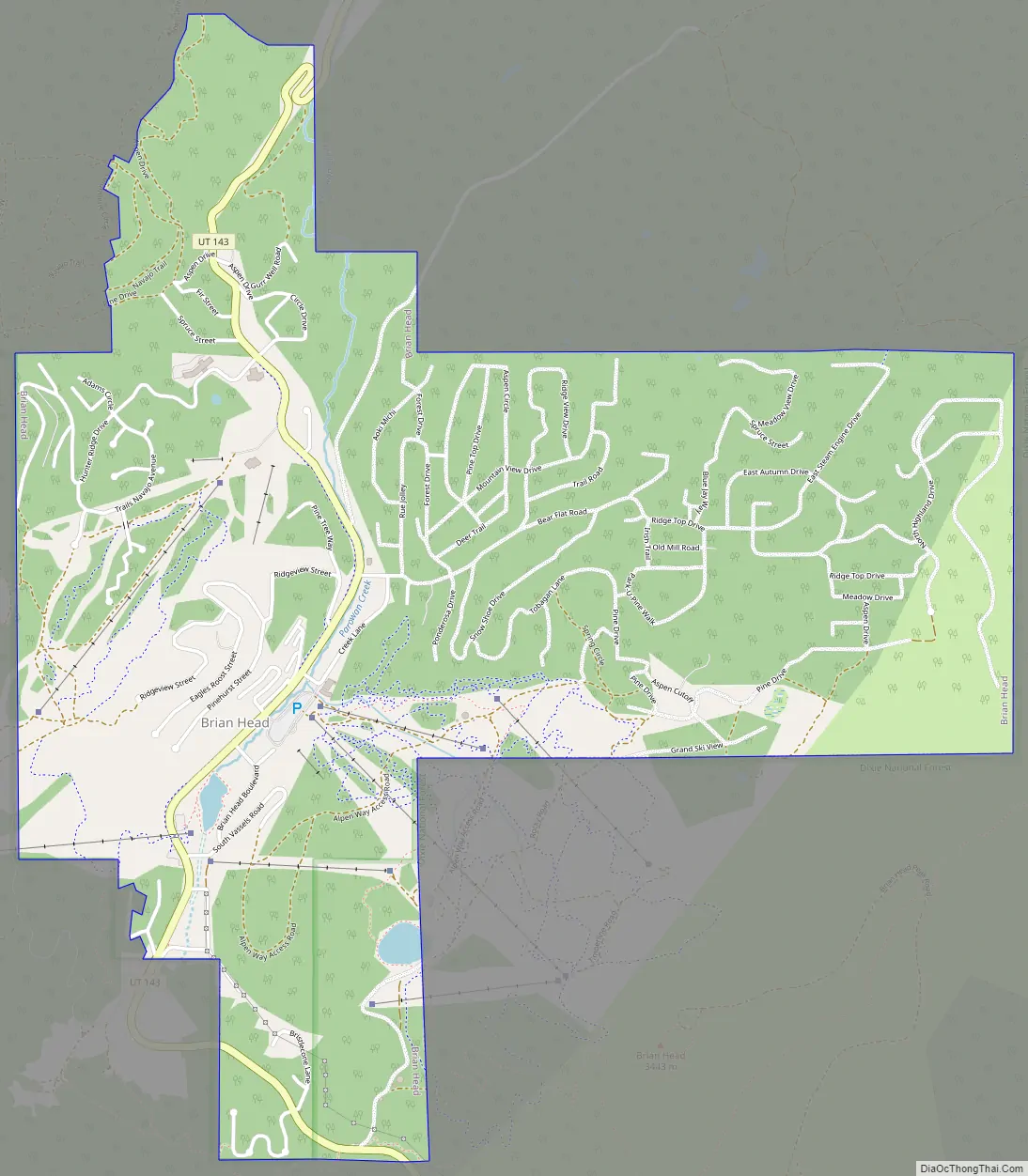
Brian Head Road Map
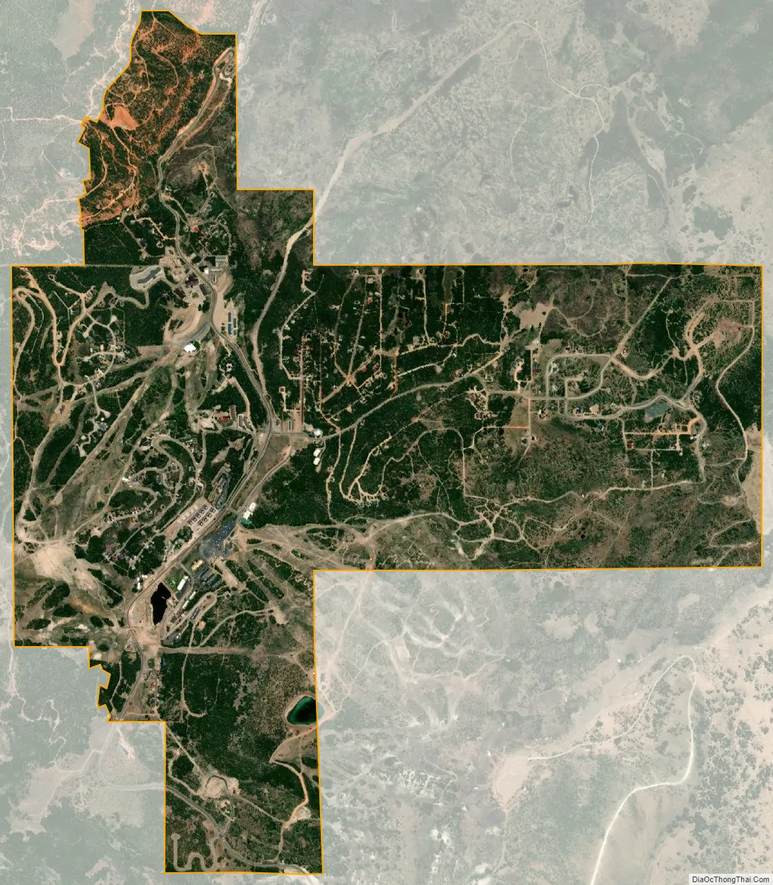
Brian Head city Satellite Map
Geography
According to the United States Census Bureau, the town has a total area of 3.1 square miles (8.0 km), all land.
The community, at an elevation of 9,800 feet (3,000 m) above sea level, is the highest town in Utah. It is located on State Route 143 and is east of Interstate 15. Brian Head is approximately three miles north of Cedar Breaks National Monument.
See also
Map of Utah State and its subdivision: Map of other states:- Alabama
- Alaska
- Arizona
- Arkansas
- California
- Colorado
- Connecticut
- Delaware
- District of Columbia
- Florida
- Georgia
- Hawaii
- Idaho
- Illinois
- Indiana
- Iowa
- Kansas
- Kentucky
- Louisiana
- Maine
- Maryland
- Massachusetts
- Michigan
- Minnesota
- Mississippi
- Missouri
- Montana
- Nebraska
- Nevada
- New Hampshire
- New Jersey
- New Mexico
- New York
- North Carolina
- North Dakota
- Ohio
- Oklahoma
- Oregon
- Pennsylvania
- Rhode Island
- South Carolina
- South Dakota
- Tennessee
- Texas
- Utah
- Vermont
- Virginia
- Washington
- West Virginia
- Wisconsin
- Wyoming