Eagle Mountain is a city in Utah County, Utah. It is part of the Provo–Orem metropolitan area. The city is located to the west as well as north of the Lake Mountains, which are west of Utah Lake. It was incorporated on 3 December 1996 and had been rapidly growing. The population was 43,623 at the 2020 census. Although Eagle Mountain was a town in 2000, it has since been classified as a fourth-class city by state law. In its short history, the city has quickly become known for its rapid growth.
| Name: | Eagle Mountain city |
|---|---|
| LSAD Code: | 25 |
| LSAD Description: | city (suffix) |
| State: | Utah |
| County: | Utah County |
| Incorporated: | December 3, 1996 |
| Elevation: | 4,882 ft (1,488 m) |
| Total Area: | 50.43 sq mi (130.61 km²) |
| Land Area: | 50.43 sq mi (130.61 km²) |
| Water Area: | 0.00 sq mi (0.00 km²) |
| Total Population: | 43,623 |
| Population Density: | 865.02/sq mi (333.99/km²) |
| ZIP code: | 84005 |
| Area code: | 385, 801 |
| FIPS code: | 4920810 |
| GNISfeature ID: | 1759211 |
| Website: | www.emcity.org |
Online Interactive Map
Click on ![]() to view map in "full screen" mode.
to view map in "full screen" mode.
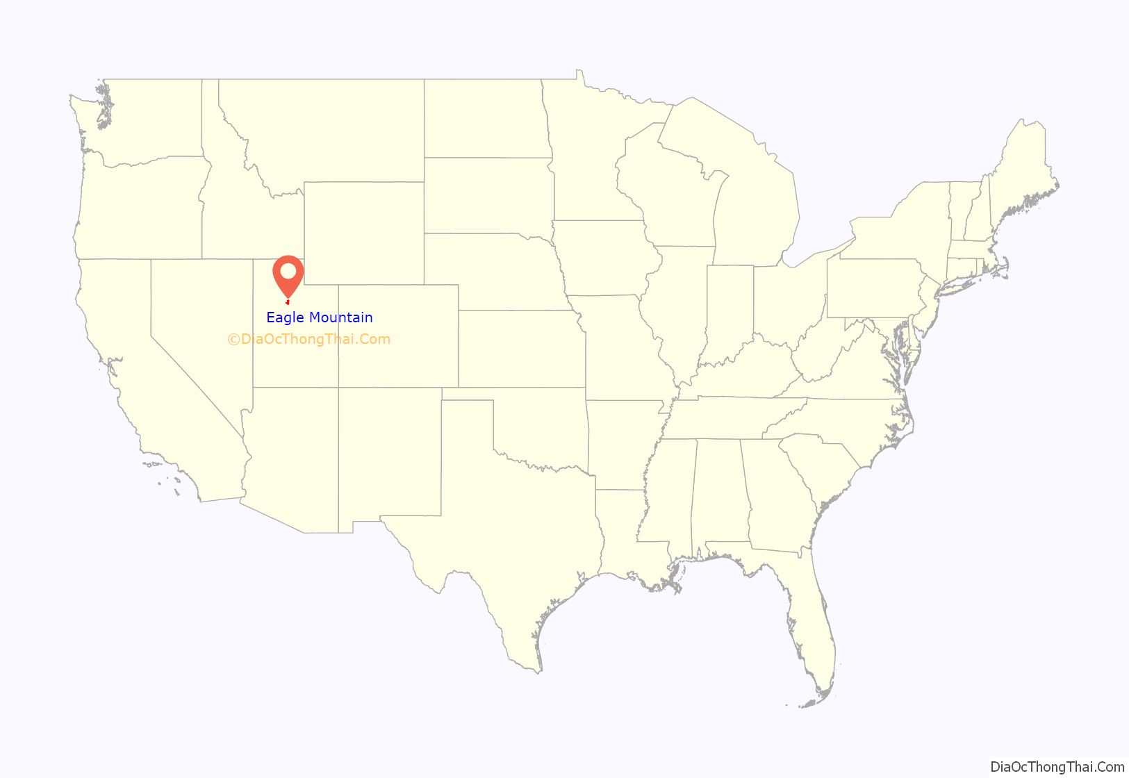
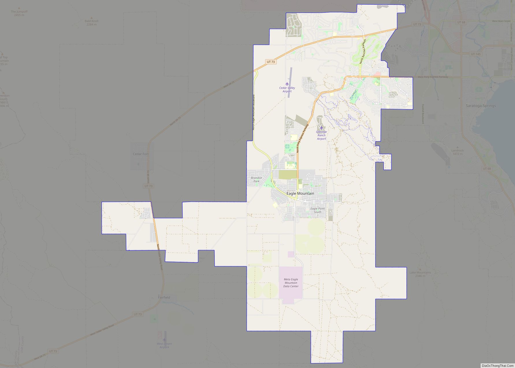
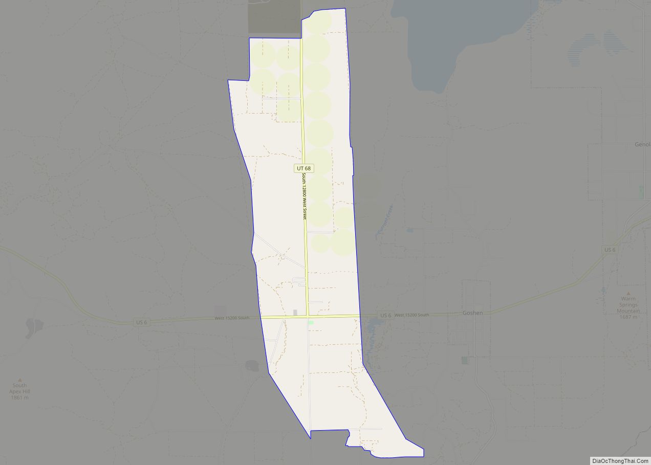
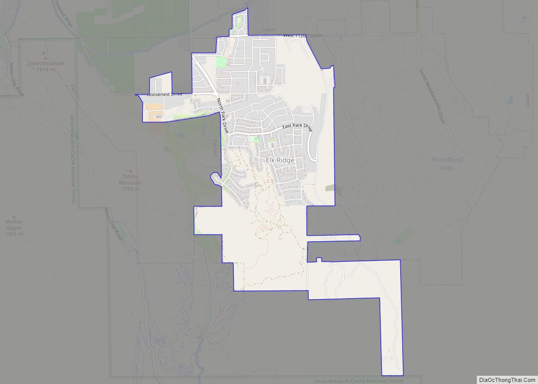
Eagle Mountain location map. Where is Eagle Mountain city?
History
The area is home to a number of natural landmarks, including a site along the original Pony Express trail and 1,800-year-old rock art petroglyphs carved by ancient Fremont Indians. In 2011 Eagle Mountain extended further west with the annexation of the White Hills neighborhood, which had about 400 residents, as well as an area that is part of the Pole Canyon development plan. The land outside of White Hills was almost 2,900 acres.
Eagle Mountain Road Map
Eagle Mountain city Satellite Map
Geography
Eagle Mountain is located at the western and northern bases of the Lake Mountains in the flat Cedar Valley east and northeast of the town of Cedar Fort. According to the United States Census Bureau, the city has a total area of 50.3 square miles (130.3 km), all land.
See also
Map of Utah State and its subdivision: Map of other states:- Alabama
- Alaska
- Arizona
- Arkansas
- California
- Colorado
- Connecticut
- Delaware
- District of Columbia
- Florida
- Georgia
- Hawaii
- Idaho
- Illinois
- Indiana
- Iowa
- Kansas
- Kentucky
- Louisiana
- Maine
- Maryland
- Massachusetts
- Michigan
- Minnesota
- Mississippi
- Missouri
- Montana
- Nebraska
- Nevada
- New Hampshire
- New Jersey
- New Mexico
- New York
- North Carolina
- North Dakota
- Ohio
- Oklahoma
- Oregon
- Pennsylvania
- Rhode Island
- South Carolina
- South Dakota
- Tennessee
- Texas
- Utah
- Vermont
- Virginia
- Washington
- West Virginia
- Wisconsin
- Wyoming
