Alpine is a city on the northeastern edge of Utah County, Utah, United States. The population was 10,251 at the time of the 2020 census. Alpine has been one of the many quickly-growing cities of Utah since the 1970s, especially in the 1990s. This city is thirty-two miles southeast of Salt Lake City. It is located on the slopes of the Wasatch Range north of Highland and American Fork. The west side of the city runs above the Wasatch Fault.
| Name: | Alpine city |
|---|---|
| LSAD Code: | 25 |
| LSAD Description: | city (suffix) |
| State: | Utah |
| County: | Utah County |
| Incorporated: | January 19, 1855 |
| Elevation: | 4,951 ft (1,509 m) |
| Total Area: | 7.96 sq mi (20.60 km²) |
| Land Area: | 7.96 sq mi (20.60 km²) |
| Water Area: | 0.00 sq mi (0.00 km²) |
| Total Population: | 10,251 |
| Population Density: | 1,319.67/sq mi (509.55/km²) |
| ZIP code: | 84004 |
| FIPS code: | 4900540 |
| GNISfeature ID: | 1438174 |
Online Interactive Map
Click on ![]() to view map in "full screen" mode.
to view map in "full screen" mode.
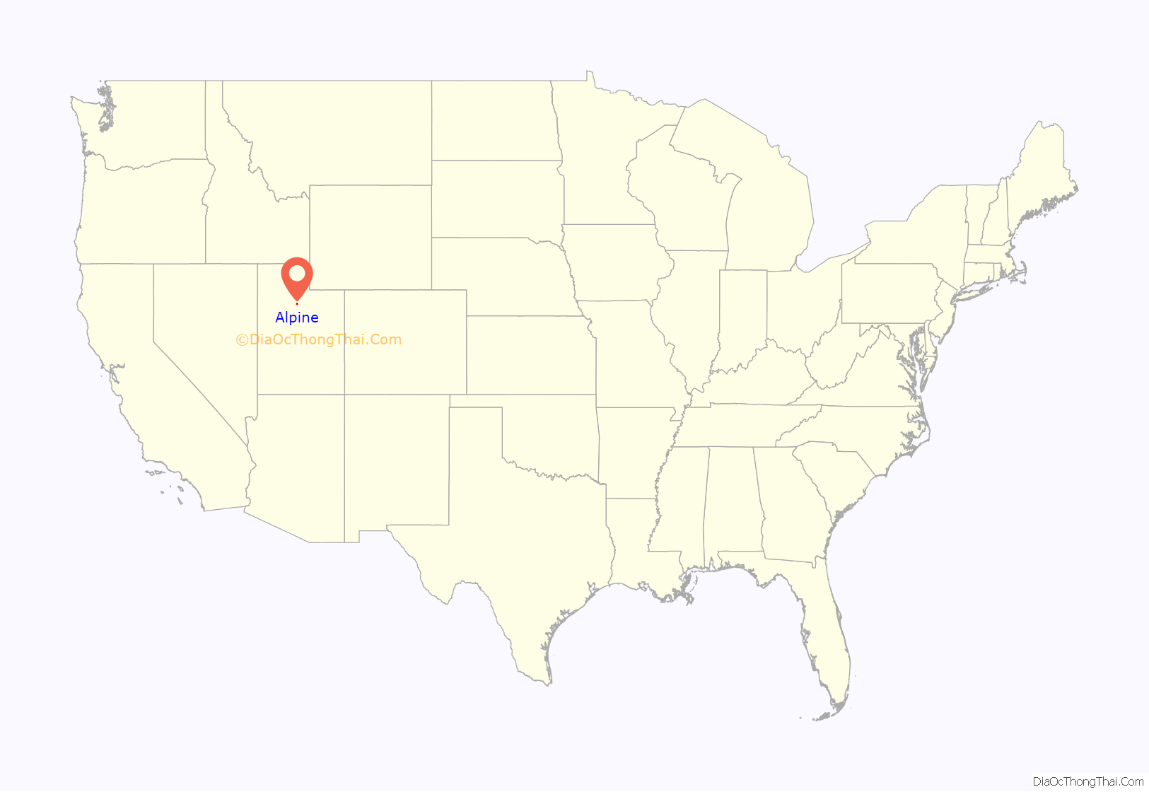
Alpine location map. Where is Alpine city?

History
The area, which would one day become Alpine, was settled by William Wordsworth and several other homesteading families in the fall of 1850. The town was originally called Mountainville, and under the latter name settlement was first made in 1851. The city was renamed because the views from the elevated town site were compared to the Swiss Alps.
Alpine Road Map

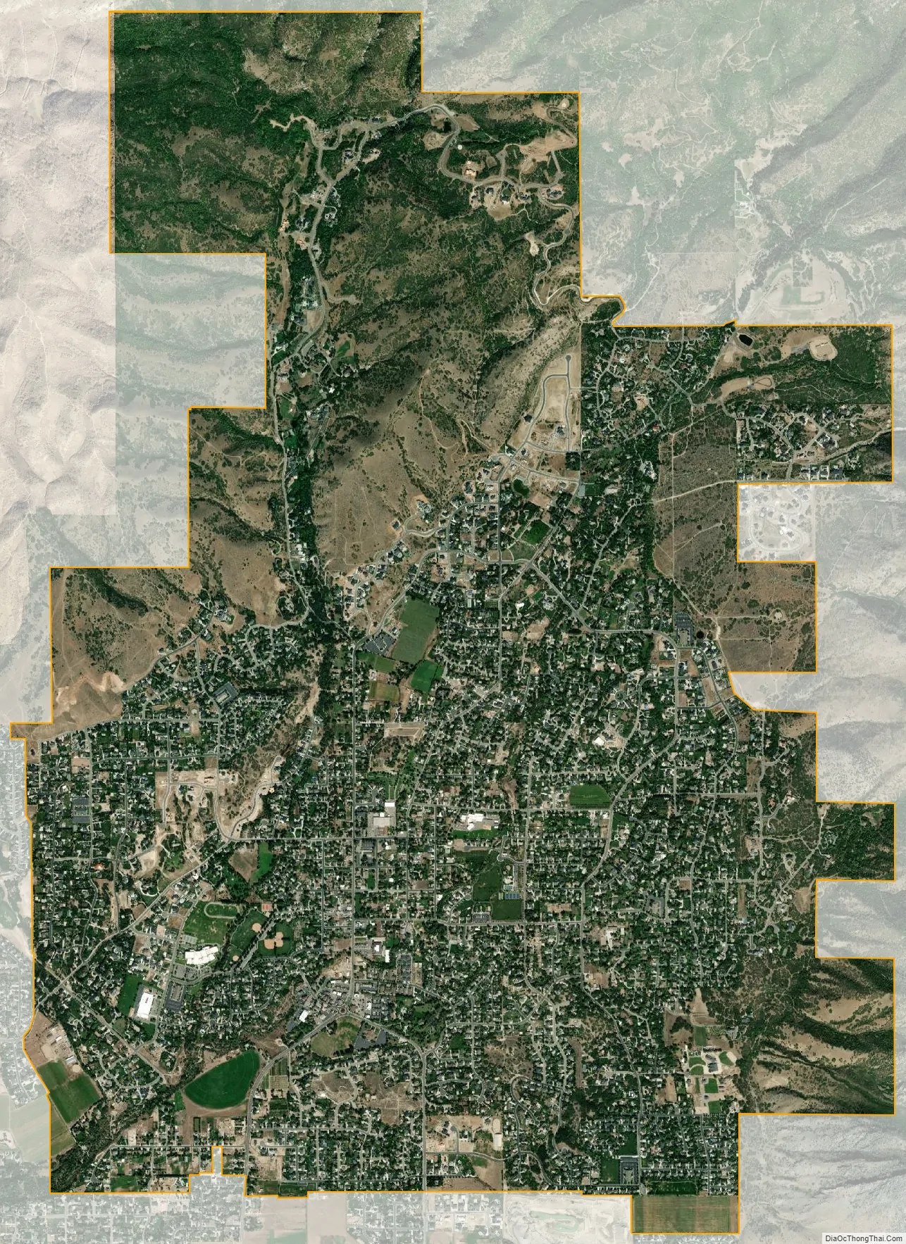
Alpine city Satellite Map
Geography
Alpine is located on State Route 74, just north of the city of Highland.
According to the United States Census Bureau, the city has a total area of 7.4 square miles (19.2 km). None of that area is covered with water, although several small mountain streams run through the city for years with sufficient rainfall.
There are several mountain biking trails around the city that attract bikers from all over the state. There are also many trails and paths well suited for back-trail hiking along the mountains. The nearby American Fork Canyon offers camping, swimming, and access to mountaineering regions around Mount Timpanogos.
The hills surrounding Alpine have been affected by several brush fires in recent years, the most devastating of which was the Quail Fire, which consumed over 2200 acres on the north-east side of town in July 2012. The area is serviced by the Lone Peak Fire Department and Lone Peak Police Force.
Climate
See also
Map of Utah State and its subdivision: Map of other states:- Alabama
- Alaska
- Arizona
- Arkansas
- California
- Colorado
- Connecticut
- Delaware
- District of Columbia
- Florida
- Georgia
- Hawaii
- Idaho
- Illinois
- Indiana
- Iowa
- Kansas
- Kentucky
- Louisiana
- Maine
- Maryland
- Massachusetts
- Michigan
- Minnesota
- Mississippi
- Missouri
- Montana
- Nebraska
- Nevada
- New Hampshire
- New Jersey
- New Mexico
- New York
- North Carolina
- North Dakota
- Ohio
- Oklahoma
- Oregon
- Pennsylvania
- Rhode Island
- South Carolina
- South Dakota
- Tennessee
- Texas
- Utah
- Vermont
- Virginia
- Washington
- West Virginia
- Wisconsin
- Wyoming


