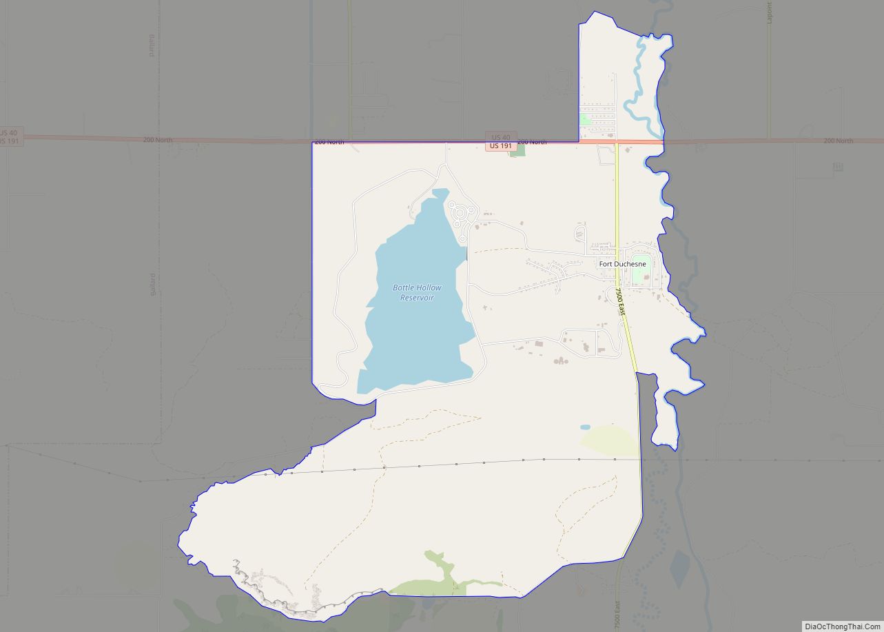
Fort Duchesne /duːˈʃeɪn/ is a census-designated place (CDP) in Uintah County, Utah, United States. The population was 714 at the 2010 census, an increase from the 2000 figure of 621.
Fort Duchesne was originally a fort, established by the United States Army in 1886 and closed in 1912. The community developed around it within the Uintah and Ouray Reservation, established in 1864. Several bands of Ute were forced on to the reservation about 1880.
The headquarters of the Ute Indian Tribe are located here. Its reservation includes much of Uintah and nearby counties.
| Name: | Fort Duchesne CDP |
|---|---|
| LSAD Code: | 57 |
| LSAD Description: | CDP (suffix) |
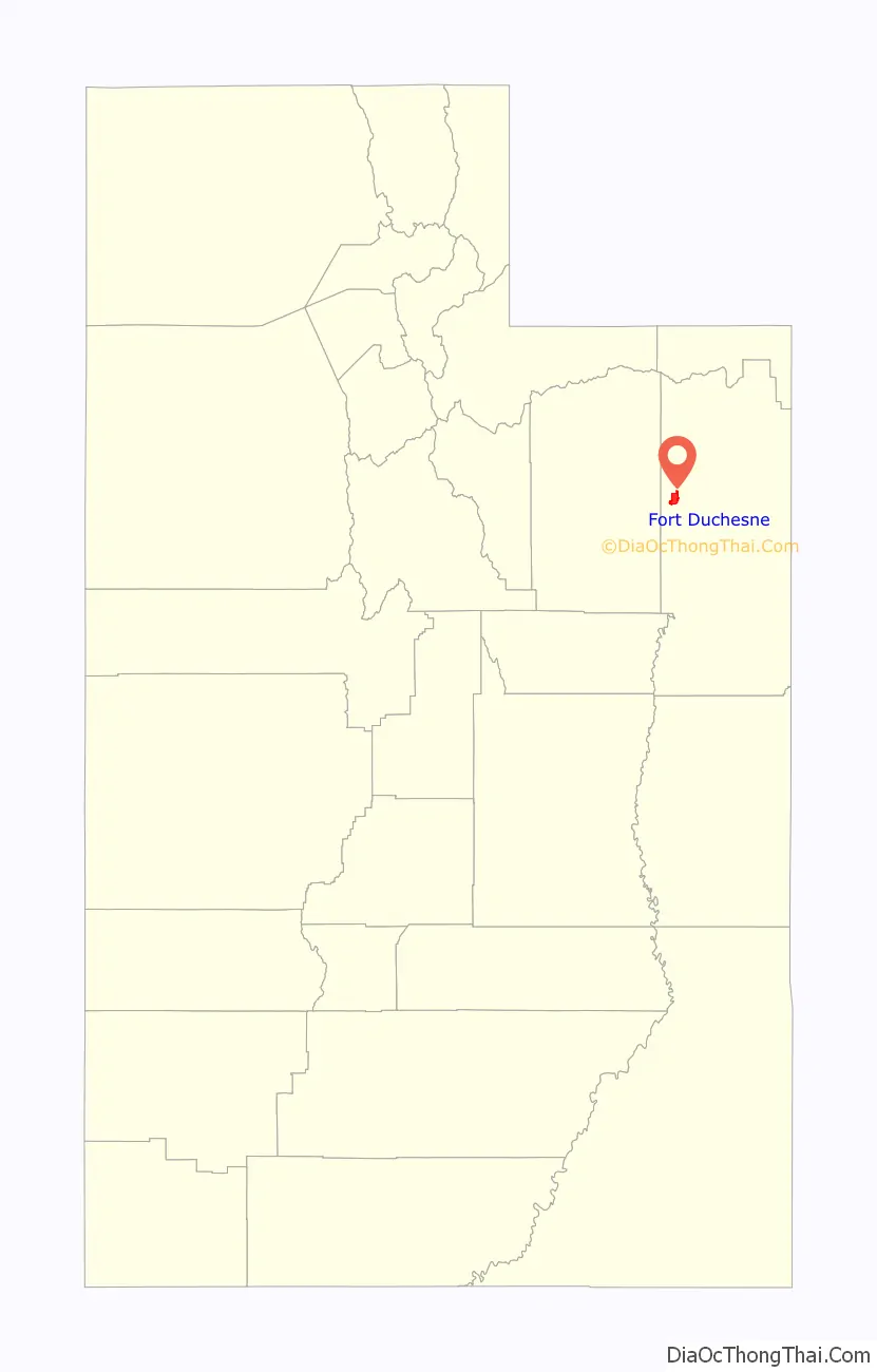
| State: | Utah |
| County: | Uintah County |
| Elevation: | 4,990 ft (1,521 m) |
| Total Area: | 7.7 sq mi (19.8 km²) |
| Land Area: | 7.0 sq mi (18.2 km²) |
| Water Area: | 0.6 sq mi (1.7 km²) |
| Total Population: | 621 |
| Population Density: | 88.5/sq mi (34.2/km²) |
| ZIP code: | 84026 |
| Area code: | 435 |
| FIPS code: | 4926610 |
| GNISfeature ID: | 1428039 |
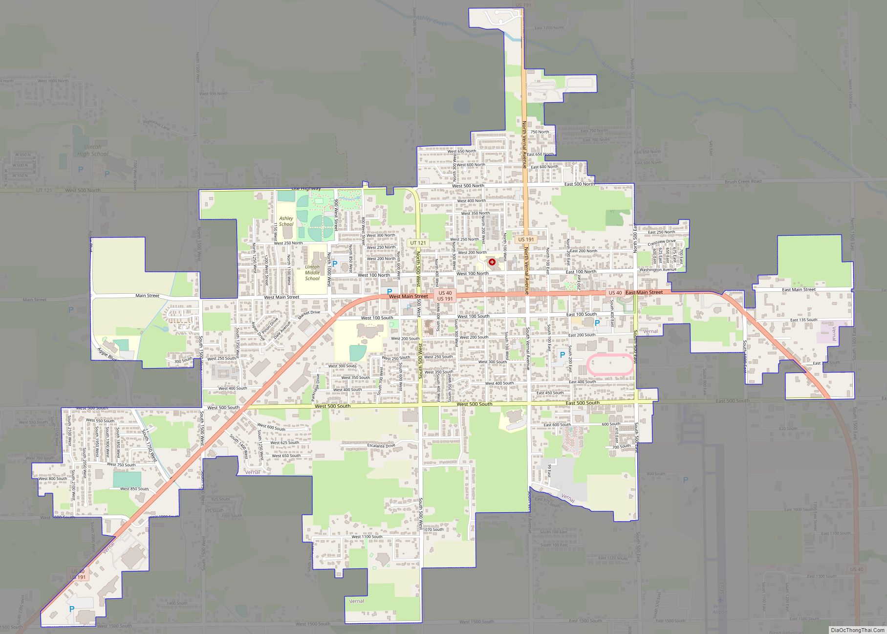
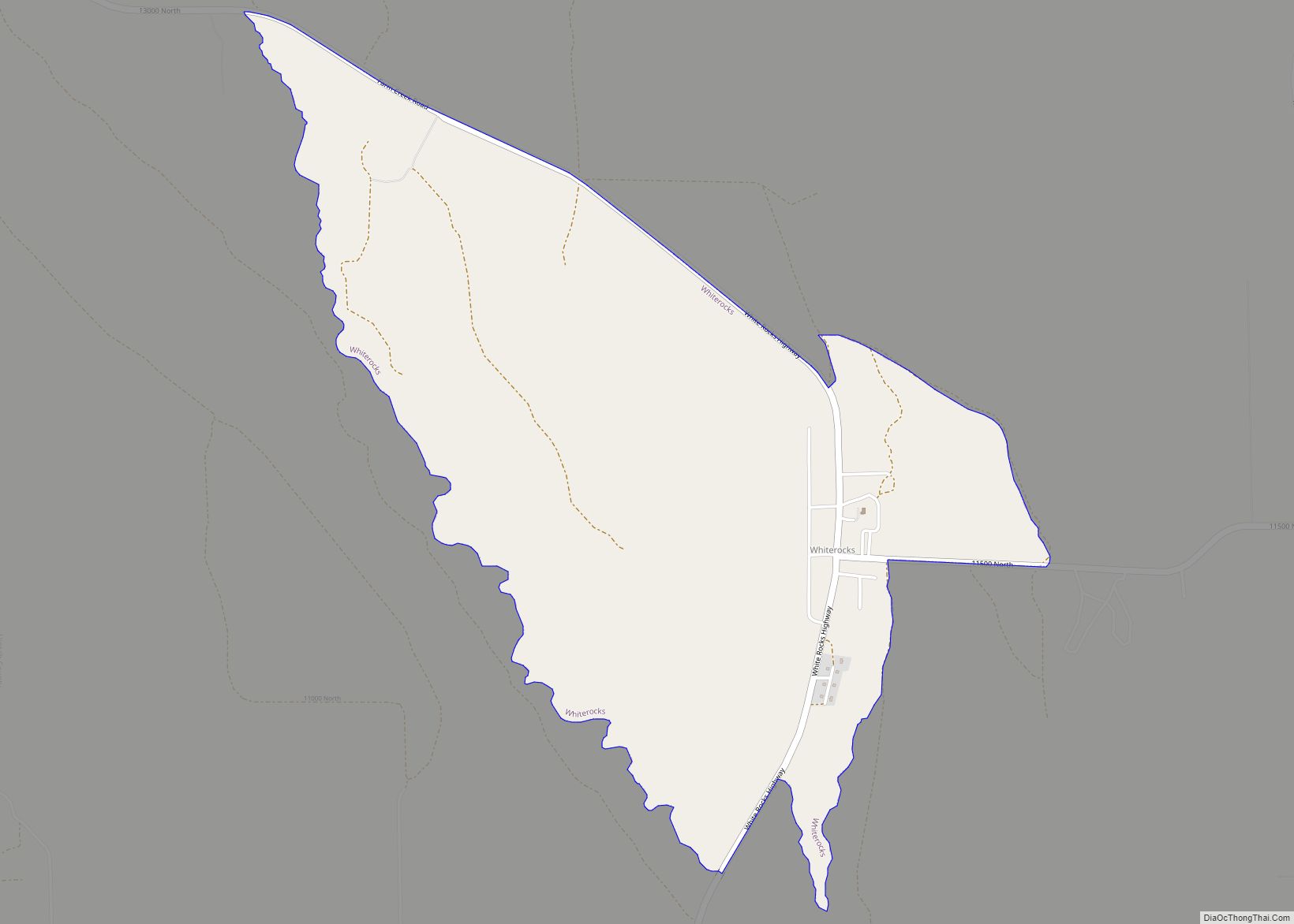
Online Interactive Map
Click on ![]() to view map in "full screen" mode.
to view map in "full screen" mode.
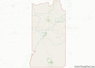
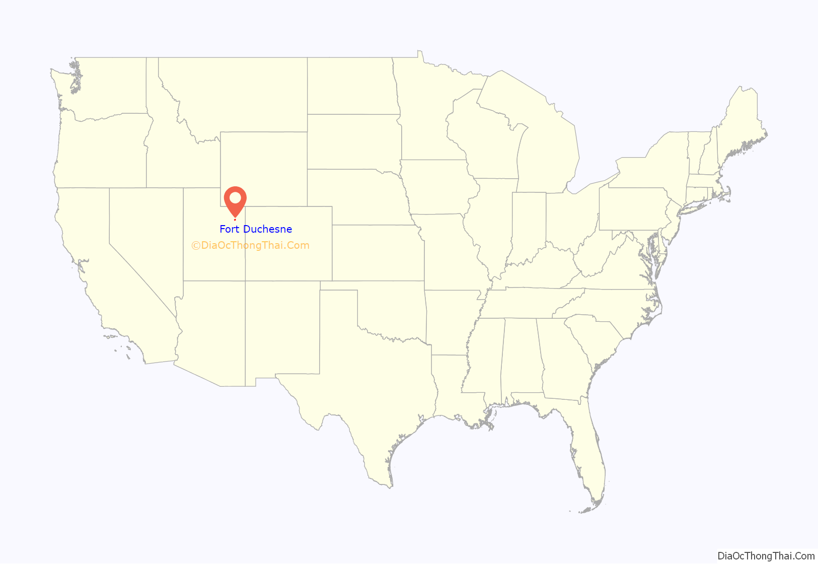
Fort Duchesne location map. Where is Fort Duchesne CDP?
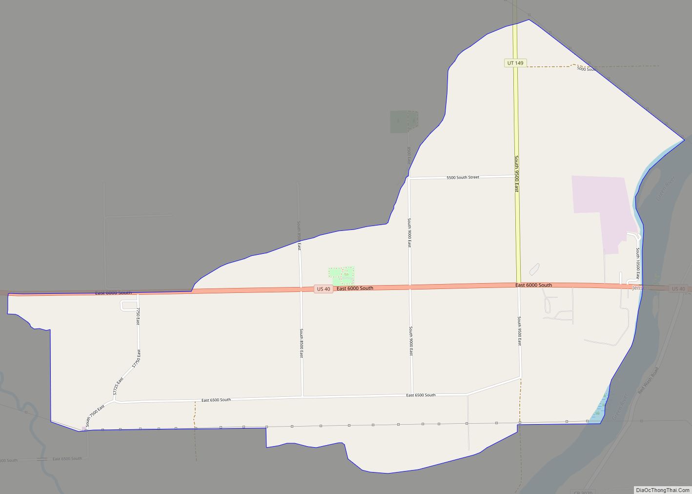
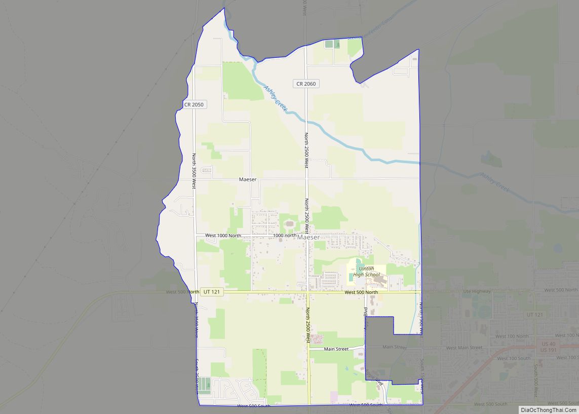
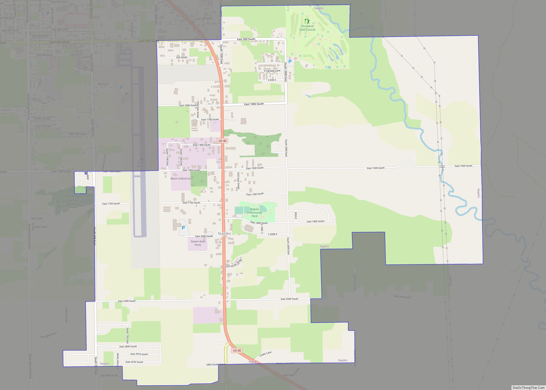
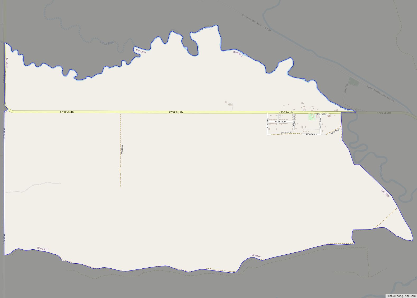
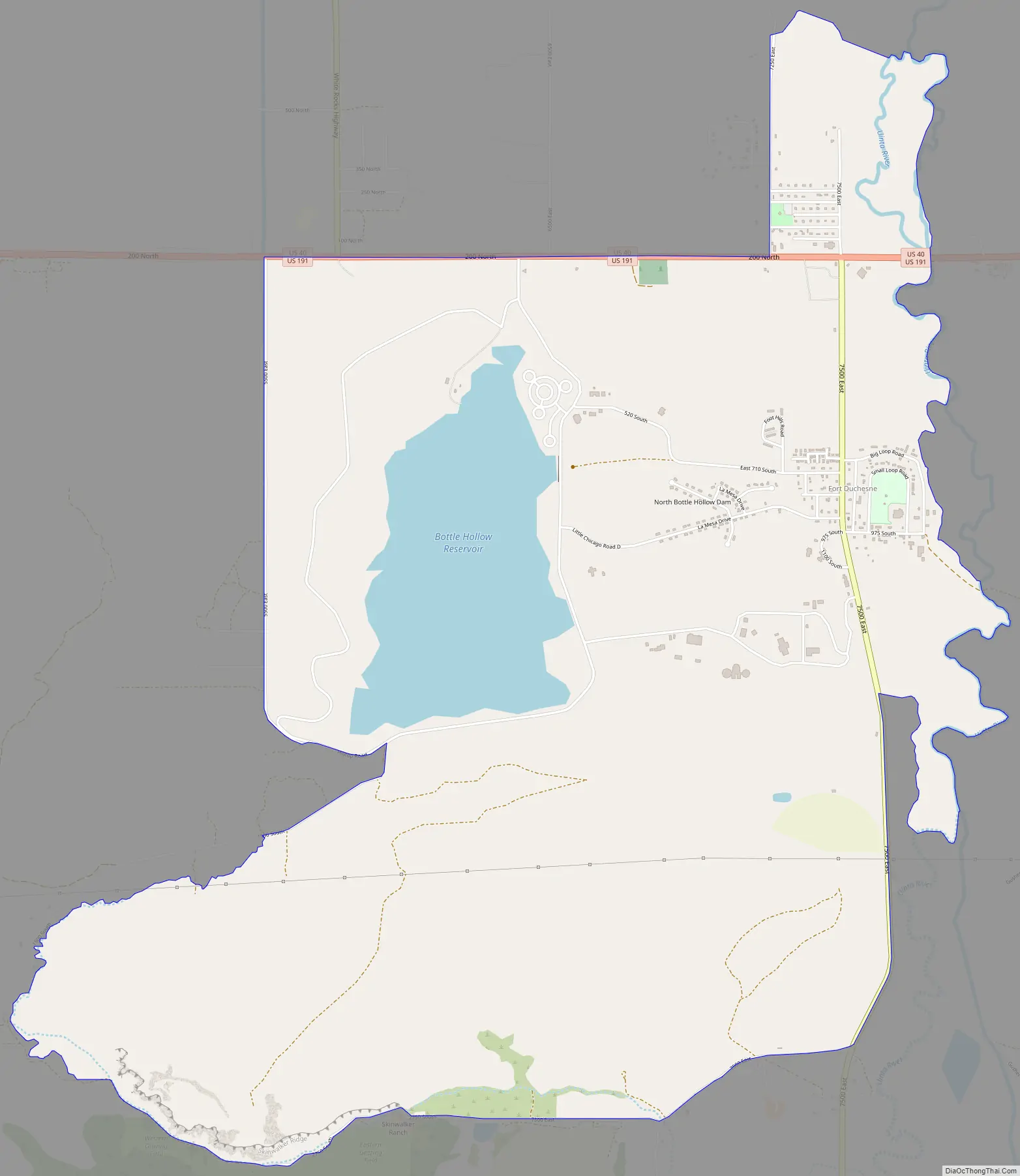
Fort Duchesne Road Map
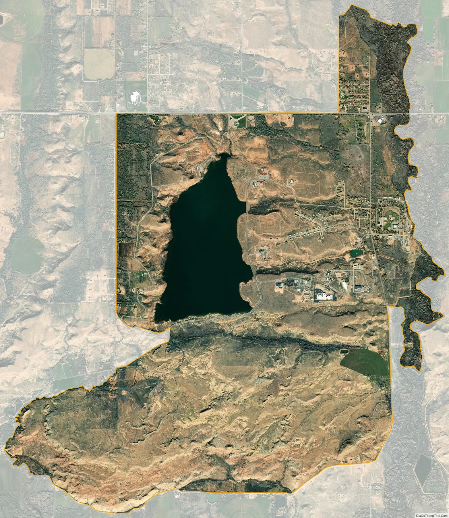
Fort Duchesne city Satellite Map
Geography
According to the United States Census Bureau, the CDP has a total area of 7.7 square miles (19.8 km), of which 7.0 square miles (18.2 km) is land and 0.6 square mile (1.7 km) (8.36%) is water.
See also
Map of Utah State and its subdivision: Map of other states:- Alabama
- Alaska
- Arizona
- Arkansas
- California
- Colorado
- Connecticut
- Delaware
- District of Columbia
- Florida
- Georgia
- Hawaii
- Idaho
- Illinois
- Indiana
- Iowa
- Kansas
- Kentucky
- Louisiana
- Maine
- Maryland
- Massachusetts
- Michigan
- Minnesota
- Mississippi
- Missouri
- Montana
- Nebraska
- Nevada
- New Hampshire
- New Jersey
- New Mexico
- New York
- North Carolina
- North Dakota
- Ohio
- Oklahoma
- Oregon
- Pennsylvania
- Rhode Island
- South Carolina
- South Dakota
- Tennessee
- Texas
- Utah
- Vermont
- Virginia
- Washington
- West Virginia
- Wisconsin
- Wyoming