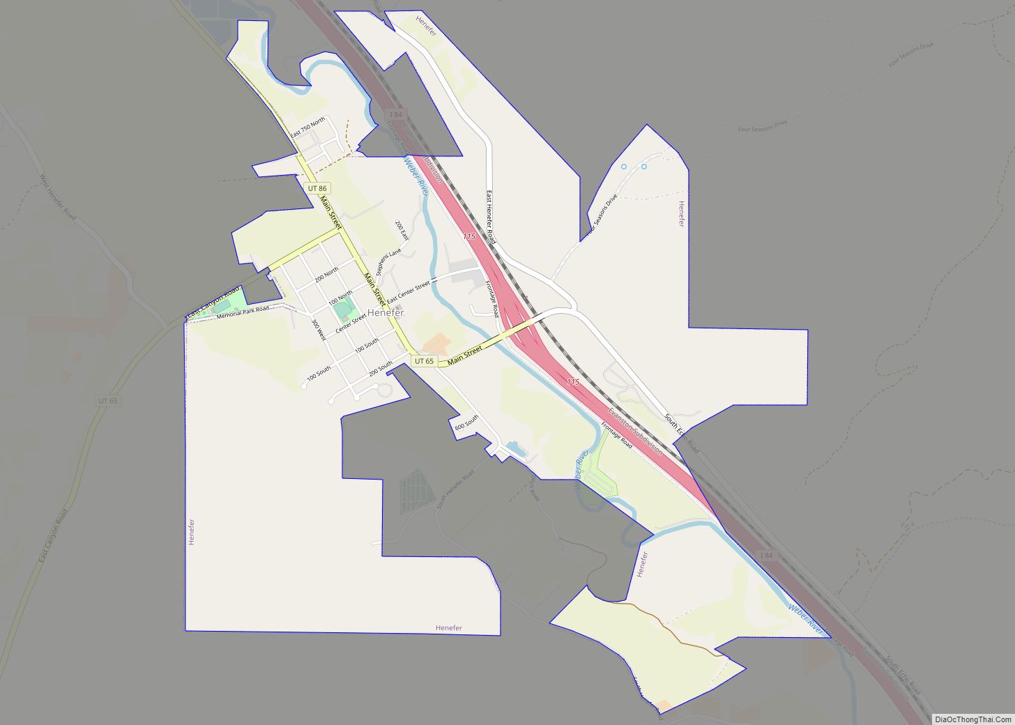
Henefer (/ˈhɛnəfɜːr/ HEN-ə-fər) is a town in Summit County, Utah, United States. It is part of the Salt Lake City, Utah Metropolitan Statistical Area. The population was 766 at the 2010 census.
| Name: | Henefer town |
|---|---|
| LSAD Code: | 43 |
| LSAD Description: | town (suffix) |
| State: | Utah |
| County: | Summit County |
| Founded: | 1853 |
| Incorporated: | 1938 |
| Elevation: | 5,335 ft (1,626 m) |
| Total Area: | 2.46 sq mi (6.38 km²) |
| Land Area: | 2.46 sq mi (6.38 km²) |
| Water Area: | 0.00 sq mi (0.00 km²) |
| Total Population: | 766 |
| Population Density: | 397.48/sq mi (153.48/km²) |
| ZIP code: | 84033 |
| Area code: | 435 |
| FIPS code: | 4934640 |
| GNISfeature ID: | 1428658 |
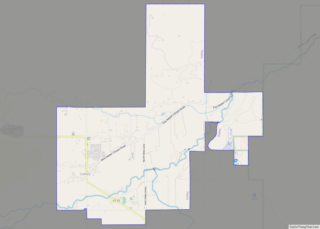
Online Interactive Map
Click on ![]() to view map in "full screen" mode.
to view map in "full screen" mode.
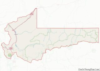
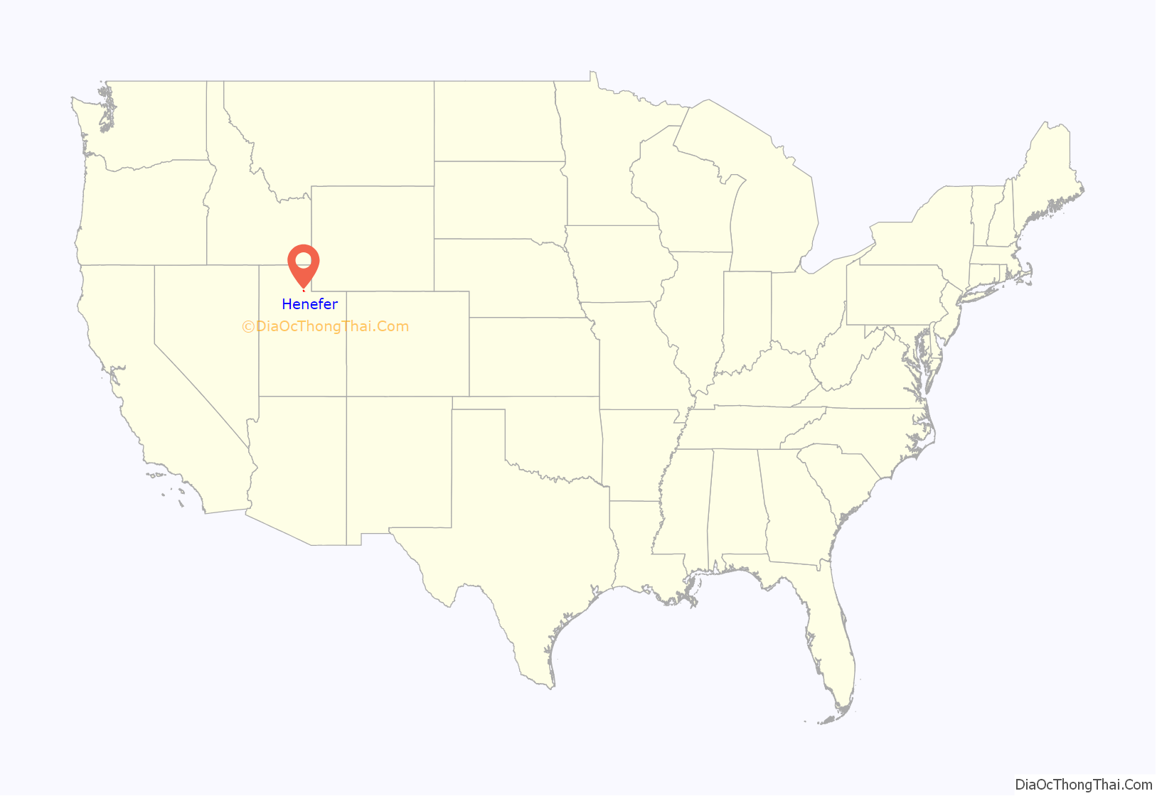
Henefer location map. Where is Henefer town?
History
Henefer was founded in 1859. The community was named after James and William Hennefer, early citizens.
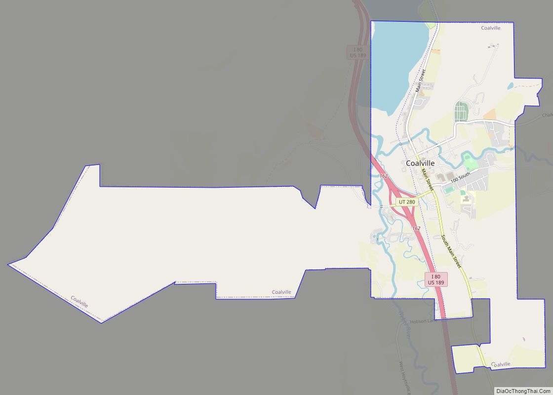
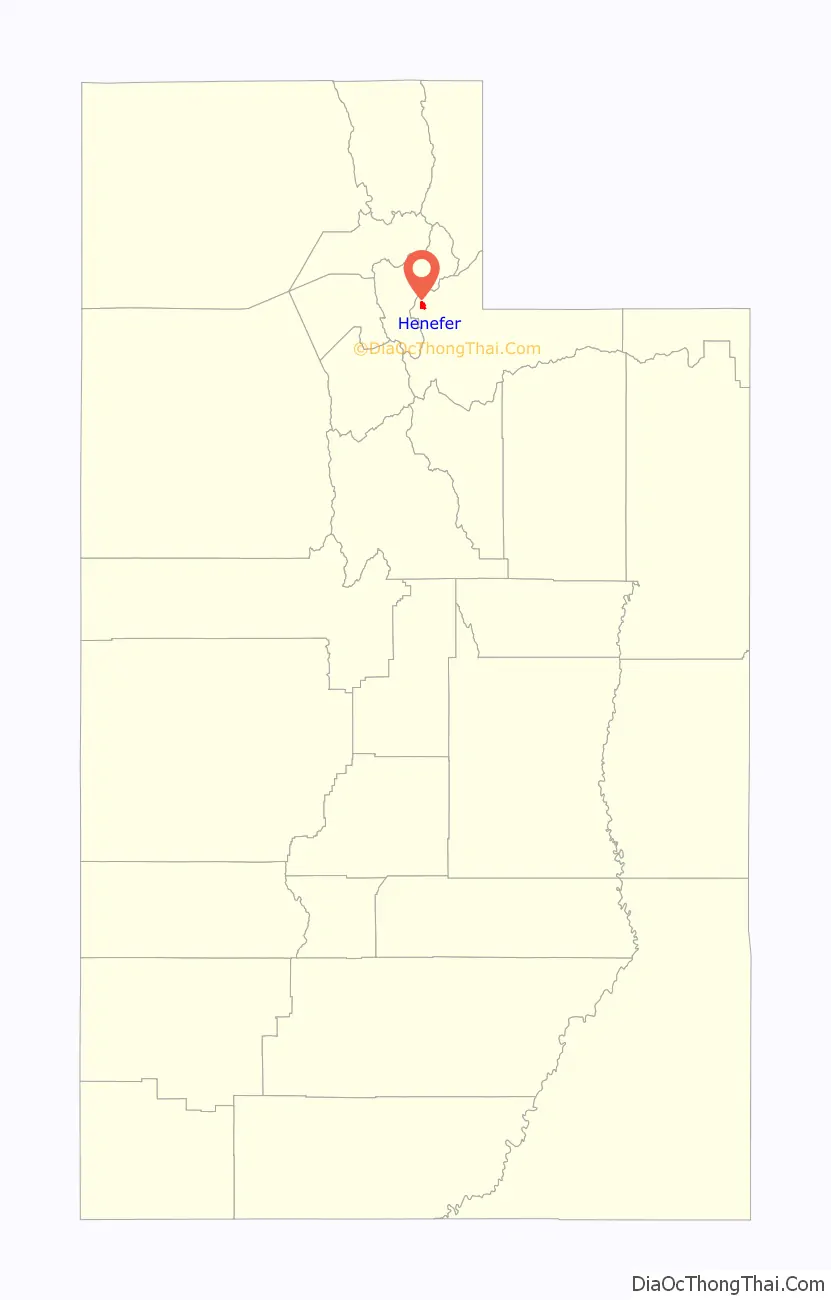
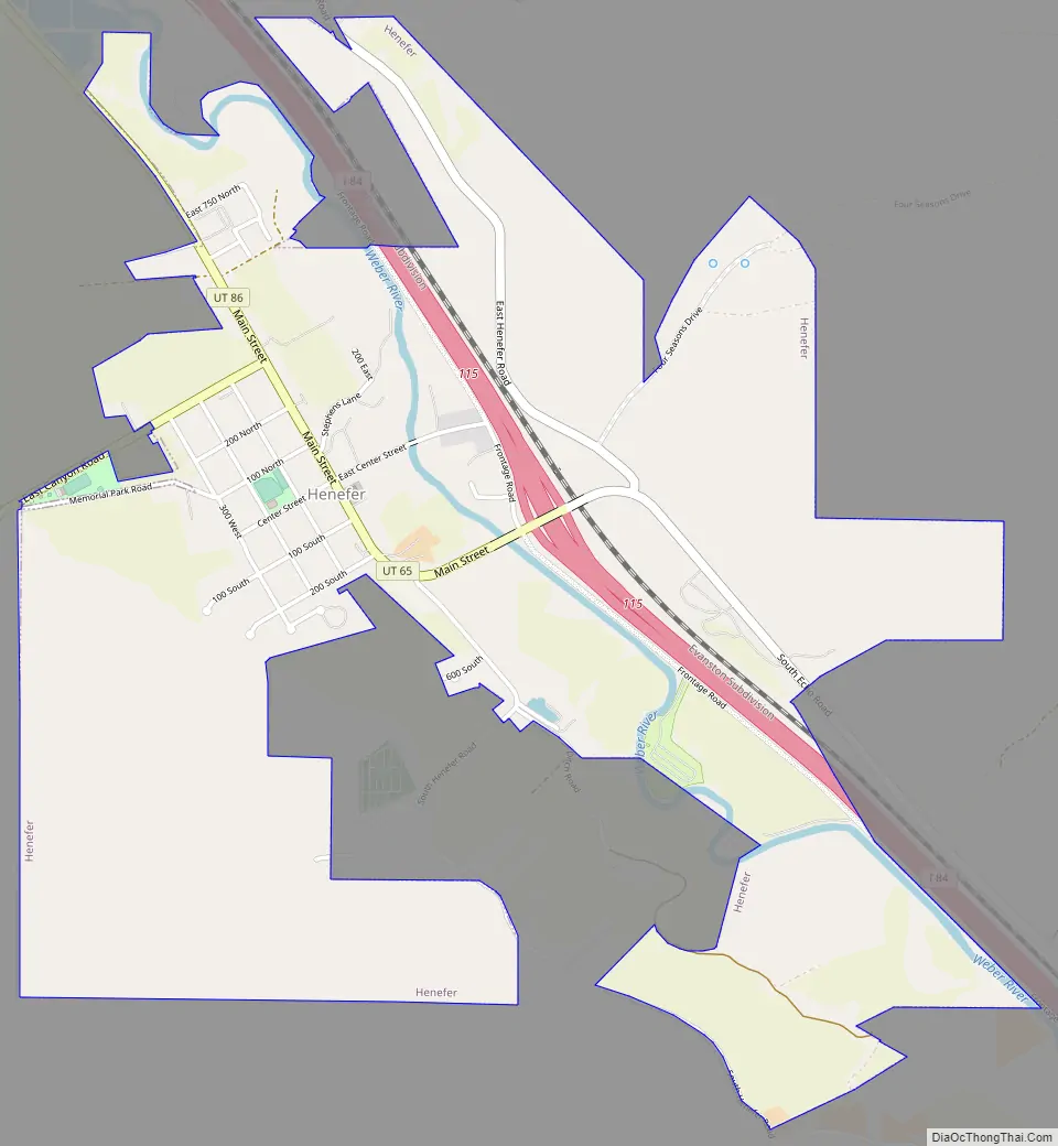
Henefer Road Map
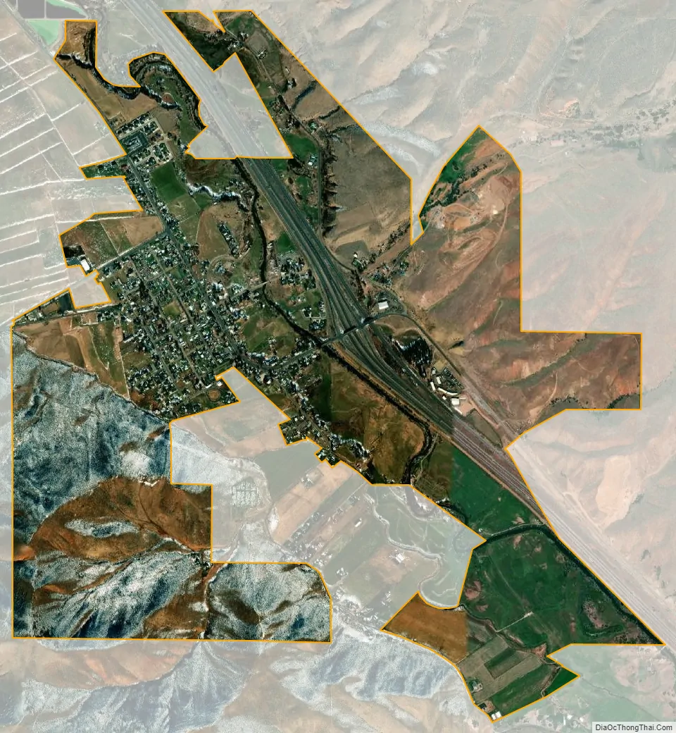
Henefer city Satellite Map
Geography
According to the United States Census Bureau, the town has a total area of 0.9 square miles (2.3 km), all land.
The hillside letter H can be seen in the southwest
Climate
Large seasonal temperature differences typify this climatic region, with warm to hot (and often humid) summers and cold (sometimes severely cold) winters. According to the Köppen Climate Classification system, Henefer has a humid continental climate, abbreviated “Dfb” on climate maps.
See also
Map of Utah State and its subdivision: Map of other states:- Alabama
- Alaska
- Arizona
- Arkansas
- California
- Colorado
- Connecticut
- Delaware
- District of Columbia
- Florida
- Georgia
- Hawaii
- Idaho
- Illinois
- Indiana
- Iowa
- Kansas
- Kentucky
- Louisiana
- Maine
- Maryland
- Massachusetts
- Michigan
- Minnesota
- Mississippi
- Missouri
- Montana
- Nebraska
- Nevada
- New Hampshire
- New Jersey
- New Mexico
- New York
- North Carolina
- North Dakota
- Ohio
- Oklahoma
- Oregon
- Pennsylvania
- Rhode Island
- South Carolina
- South Dakota
- Tennessee
- Texas
- Utah
- Vermont
- Virginia
- Washington
- West Virginia
- Wisconsin
- Wyoming