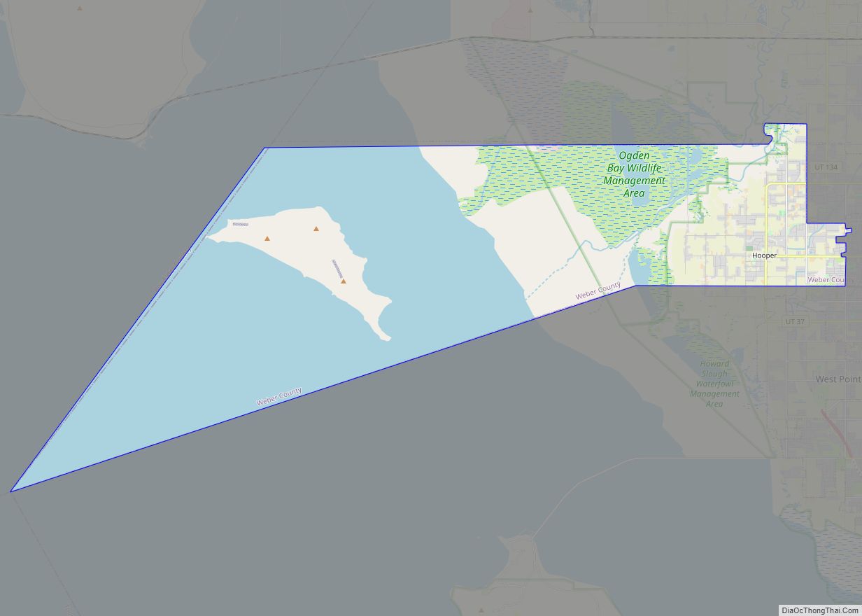
Hooper is a city in Weber County, Utah, United States, first called Muskrat Springs and later Hooperville for Captain William Henry Hooper, an early Utah delegate to Congress. The population was 9,087 at the 2020 census, up from the 2010 figure of 6,932. Prior to the city’s incorporation on November 30, 2000, Hooper was an unincorporated census-designated place (CDP).
Hooper is part of the Ogden–Clearfield, Utah Metropolitan Statistical Area. The current mayor is Dale R. Fowers.
| Name: | Hooper city |
|---|---|
| LSAD Code: | 25 |
| LSAD Description: | city (suffix) |
| State: | Utah |
| County: | Weber County |
| Incorporated: | November 30, 2000 |
| Elevation: | 4,242 ft (1,293 m) |
| Total Area: | 87.99 sq mi (227.90 km²) |
| Land Area: | 26.10 sq mi (67.60 km²) |
| Water Area: | 61.89 sq mi (160.30 km²) |
| Total Population: | 9,087 |
| Population Density: | 100/sq mi (40/km²) |
| ZIP code: | 84315 |
| Area code: | 385, 801 |
| FIPS code: | 4936400 |
| GNISfeature ID: | U.S. Geological Survey Geographic Names Information System: Hooper, Utah |
| Website: | www.hoopercity.com |
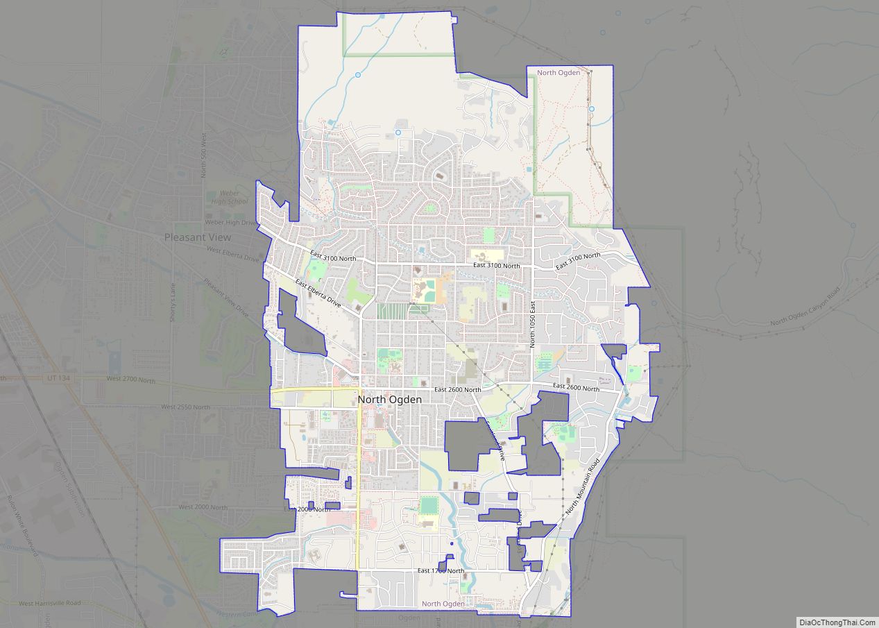
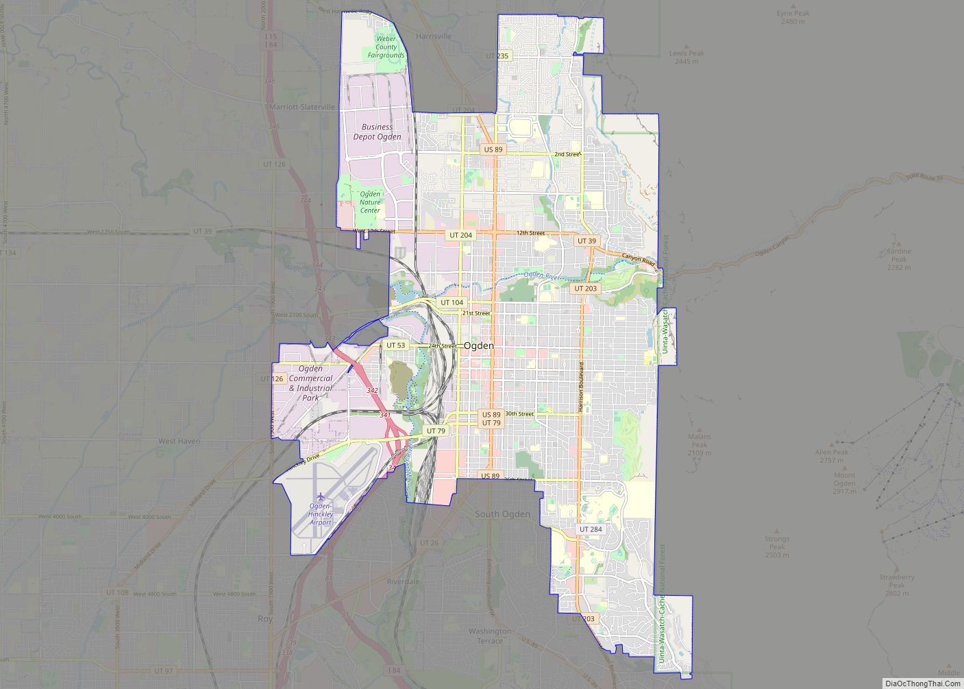
Online Interactive Map
Click on ![]() to view map in "full screen" mode.
to view map in "full screen" mode.
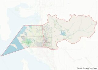
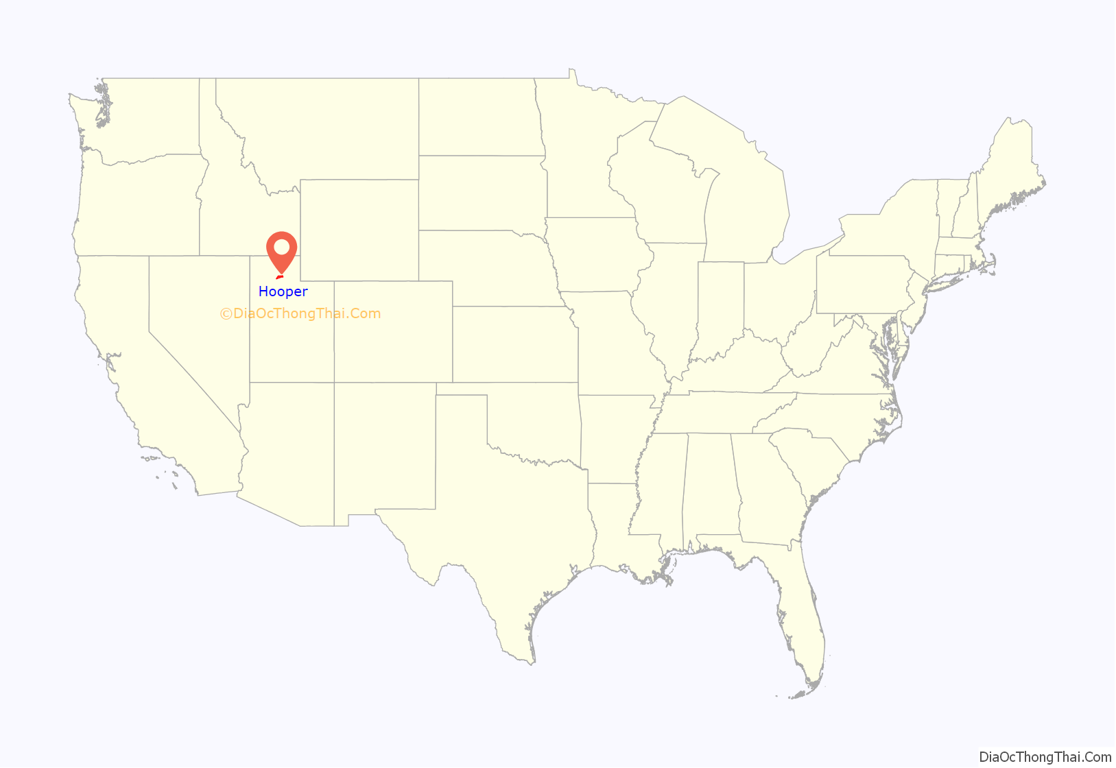
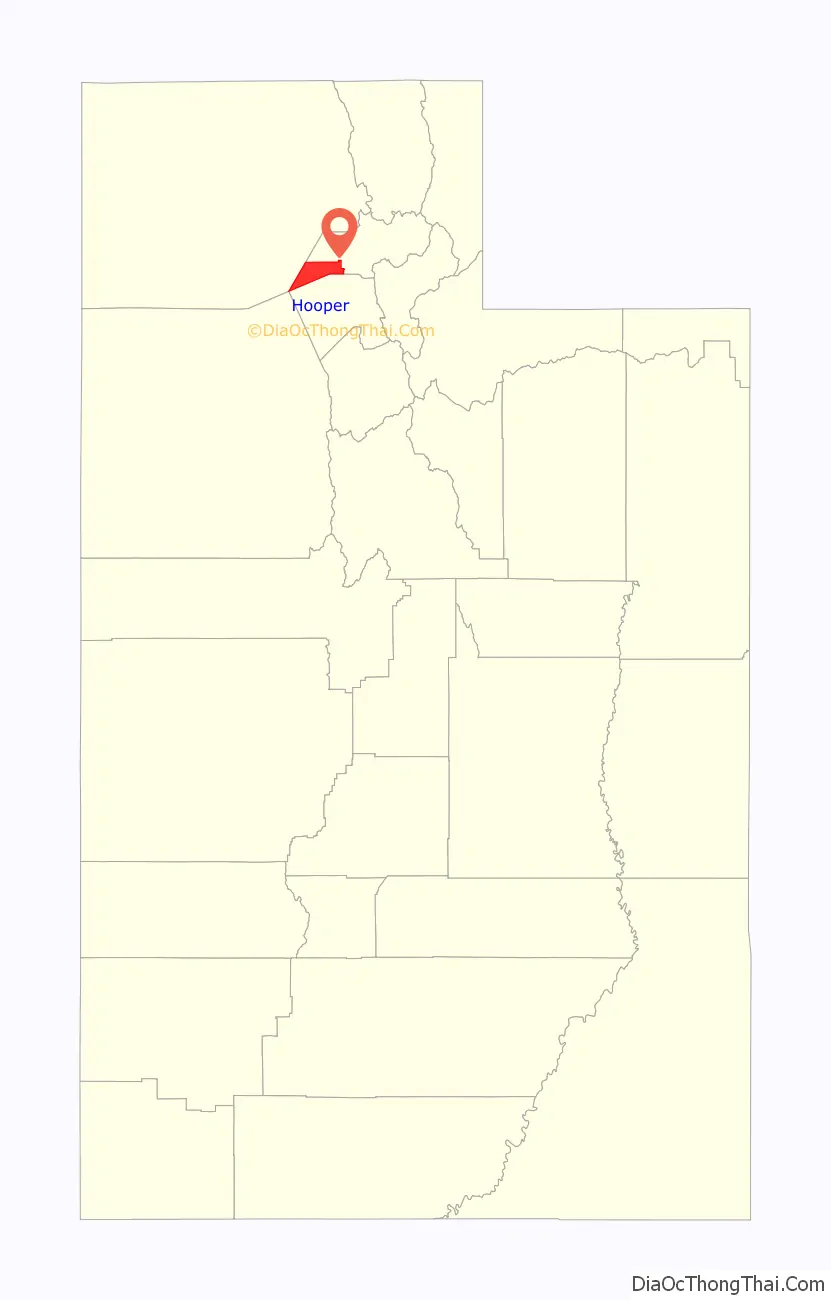
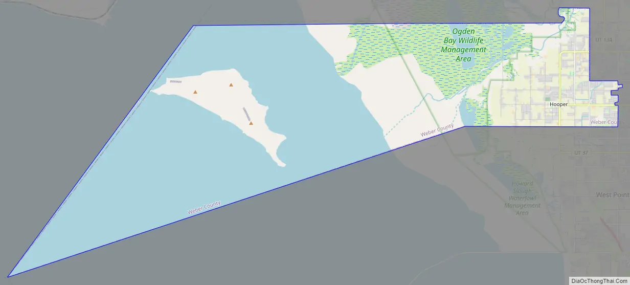
Hooper location map. Where is Hooper city?
History
Hooper was settled in 1854, and become a township in 1997 (about 15 years after a failed vote to incorporate). Over the next several years “it became evident that the township board could make plans and suggestions, but had no official power,” so a vote to incorporate passed on May 2, 2000, with the city being officially incorporated on November 30, 2000.
Hooper Road Map
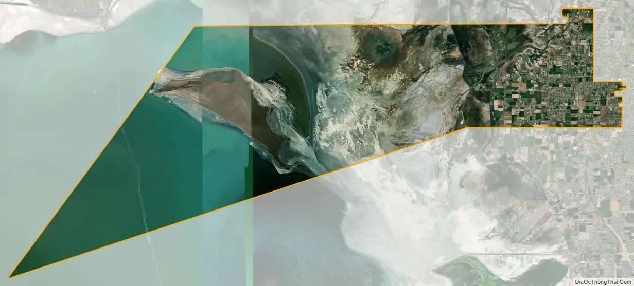
Hooper city Satellite Map
Geography
According to the United States Census Bureau, the CDP has a total area of 11.7 square miles (30.3 km), of which 11.5 square miles (29.9 km) is land and 0.2 square mile (0.4 km) (1.45%) is water.
Fremont Island in the Great Salt Lake is included in this city’s boundary. On March 30, 2007, Glenn Barrow became the first Hooper mayor to visit the island in the city’s brief history.
See also
Map of Utah State and its subdivision: Map of other states:- Alabama
- Alaska
- Arizona
- Arkansas
- California
- Colorado
- Connecticut
- Delaware
- District of Columbia
- Florida
- Georgia
- Hawaii
- Idaho
- Illinois
- Indiana
- Iowa
- Kansas
- Kentucky
- Louisiana
- Maine
- Maryland
- Massachusetts
- Michigan
- Minnesota
- Mississippi
- Missouri
- Montana
- Nebraska
- Nevada
- New Hampshire
- New Jersey
- New Mexico
- New York
- North Carolina
- North Dakota
- Ohio
- Oklahoma
- Oregon
- Pennsylvania
- Rhode Island
- South Carolina
- South Dakota
- Tennessee
- Texas
- Utah
- Vermont
- Virginia
- Washington
- West Virginia
- Wisconsin
- Wyoming