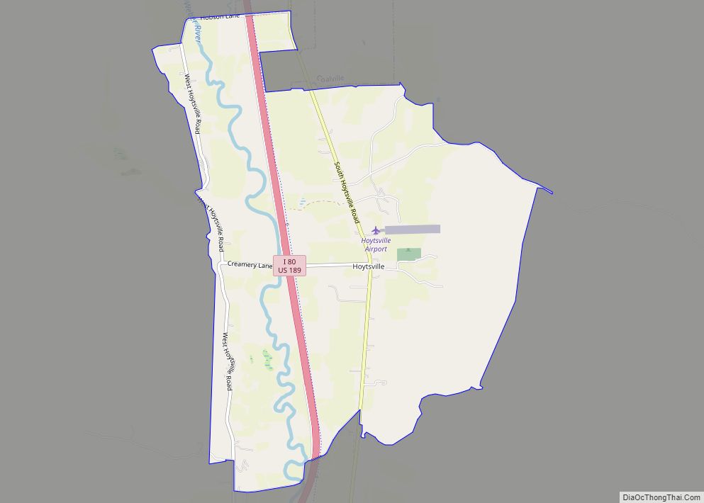
Hoytsville is a census-designated place in western Summit County, Utah, United States. Hoytsville is named for early settler Samuel P. Hoyt. It is bordered by Coalville to the north, and by Wanship on the south. The population was 607 at the 2010 census. Interstate 80 passes through the area, as well as the Weber River. Hoytsville is home to a large chapel of the Church of Jesus Christ of Latter-day Saints, a cemetery, and a handful of businesses and farms. Farmers primarily focus on dairy farming, beef ranching, and raising sheep for wool. In the past, mink were also raised although that industry has declined in recent years.
Hoytsville is also the site of the Hoyt Mansion, considered by the Summit County Historical Society as “one of the most elegant 19th Century homes still standing in Utah today.”
| Name: | Hoytsville CDP |
|---|---|
| LSAD Code: | 57 |
| LSAD Description: | CDP (suffix) |
| State: | Utah |
| County: | Summit County |
| Elevation: | 5,784 ft (1,763 m) |
| Total Area: | 607 |
| ZIP code: | 84017 |
| Area code: | 435 |
| FIPS code: | 4936730 |
| GNISfeature ID: | 2584768 |
Online Interactive Map
Click on ![]() to view map in "full screen" mode.
to view map in "full screen" mode.
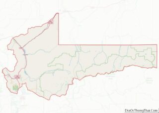
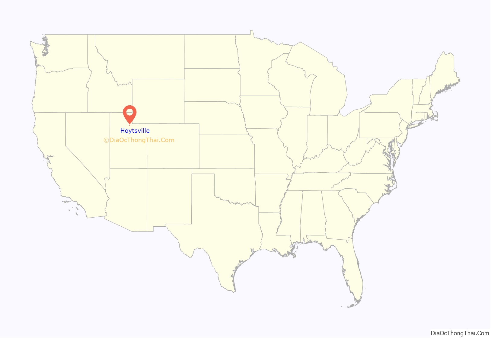
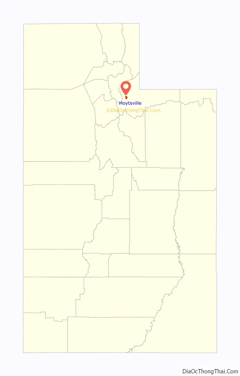
Hoytsville location map. Where is Hoytsville CDP?
History
In 1859, Thomas Bradberry and others settled along the Weber River in the area of Hoytsville. The settlement was first known as East Plymouth. During the Utah Black Hawk War, the settlers united to build a fort for protection, the foundation of which is easily identifiable in Hoytsville today. The settlement was subsequently named Unionville. In 1863, Samuel P. Hoyt built the first flour mill in Summit County. He also ran the local post office from his house. The settlement was renamed Hoytsville in his honor.
The Mormon chapel in Hoytsville is the site of Historical Marker #37 of the Daughters of Utah Pioneers, which was erected on August 27, 1938. The plaque reads:
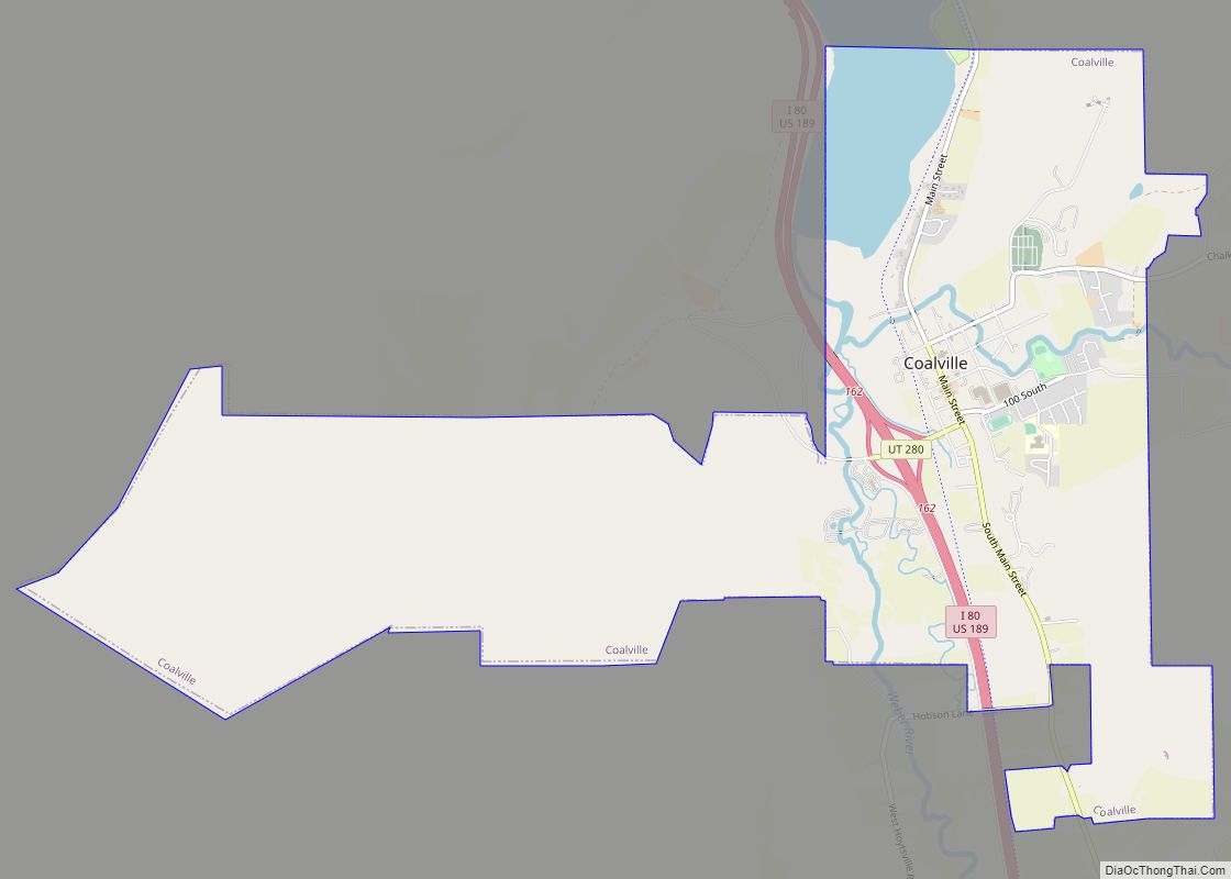
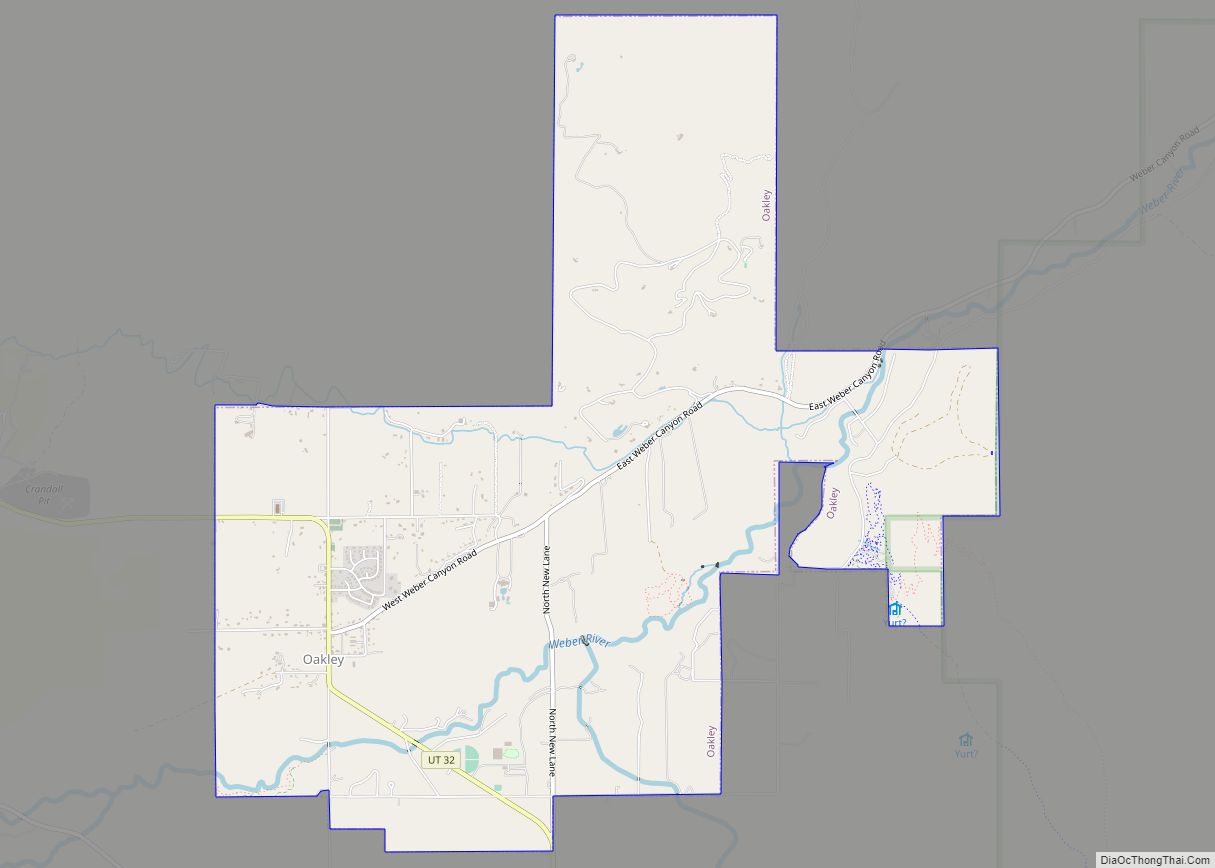
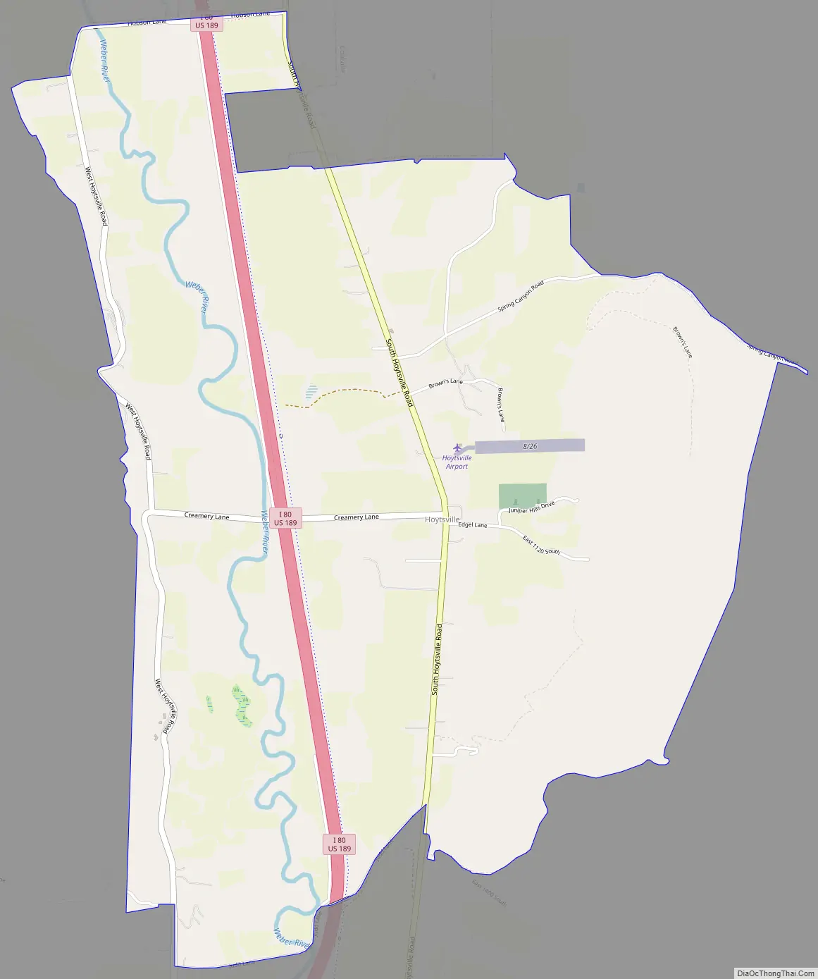
Hoytsville Road Map
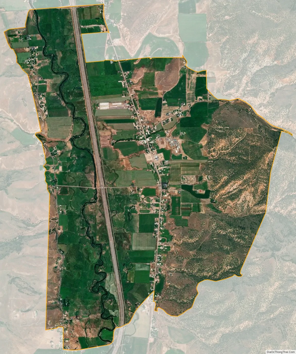
Hoytsville city Satellite Map
See also
Map of Utah State and its subdivision: Map of other states:- Alabama
- Alaska
- Arizona
- Arkansas
- California
- Colorado
- Connecticut
- Delaware
- District of Columbia
- Florida
- Georgia
- Hawaii
- Idaho
- Illinois
- Indiana
- Iowa
- Kansas
- Kentucky
- Louisiana
- Maine
- Maryland
- Massachusetts
- Michigan
- Minnesota
- Mississippi
- Missouri
- Montana
- Nebraska
- Nevada
- New Hampshire
- New Jersey
- New Mexico
- New York
- North Carolina
- North Dakota
- Ohio
- Oklahoma
- Oregon
- Pennsylvania
- Rhode Island
- South Carolina
- South Dakota
- Tennessee
- Texas
- Utah
- Vermont
- Virginia
- Washington
- West Virginia
- Wisconsin
- Wyoming