Hyde Park is a city in north-central Cache County, Utah, United States. The population was 3,833 at the 2010 census, with an estimated population of 4,700 in 2018. It is included in the Logan, Utah-Idaho Metropolitan Statistical Area.
| Name: | Hyde Park city |
|---|---|
| LSAD Code: | 25 |
| LSAD Description: | city (suffix) |
| State: | Utah |
| County: | Cache County |
| Founded: | April 16, 1860 |
| Incorporated: | January 16, 1892 |
| Elevation: | 4,537 ft (1,383 m) |
| Total Area: | 4.39 sq mi (11.37 km²) |
| Land Area: | 4.39 sq mi (11.37 km²) |
| Water Area: | 0.00 sq mi (0.00 km²) |
| Total Population: | 3,833 |
| Population Density: | 1,092.71/sq mi (421.94/km²) |
| ZIP code: | 84318 |
| Area code: | 435 |
| FIPS code: | 4937390 |
| GNISfeature ID: | 1441964 |
| Website: | hydepark.utahlinks.org |
Online Interactive Map
Click on ![]() to view map in "full screen" mode.
to view map in "full screen" mode.
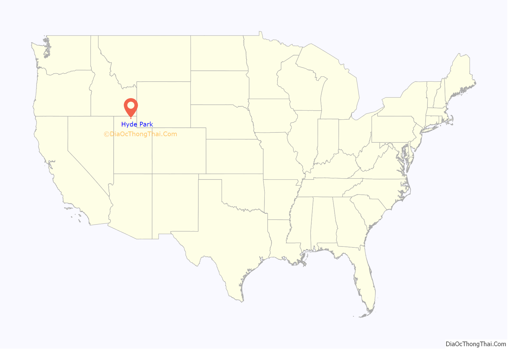
Hyde Park location map. Where is Hyde Park city?
History
The first settlers were Latter-day Saints who moved from Lehi in 1860. Hyde Park was officially organized by Ezra T. Benson on July 1, 1860. The settlement was named in honor of William Hyde, one of the first settlers to arrive in the area on April 23, 1860. The name choice also evoked Hyde Park in London, England which was the homeland of many early settlers. It was at this same meeting that Hyde was also appointed as Bishop of the members of the Church of Jesus Christ of Latter-day Saints in Hyde Park. Hyde served as branch president from 1860–1872 and then as bishop from 1872–1874, when he died.
Hyde Park was surveyed in 1864 and homes on city lots began to replace the earlier fort-style dwellings. The first post office was established on June 15, 1864 and the first town elections were held on September 7, 1864. The first school and church meetings were held in a one-room log structure built in the summer of 1863. As the community grew, church meetings were moved to the new, larger Rock Meeting House constructed in 1866. Early settlers also had to deal with the problem of bringing water to the area for their crops. The first irrigation canal was built in the summer of 1860 and was known as the “Old Ditch.” A second canal known as the Logan-Richmond Canal was constructed in 1865 to help with the increasing demand for water.
In 1874, a census of Hyde Park showed a population of 445 individuals. Hyde Park was incorporated on January 16, 1892 with Charles G. Hyde as president of the board of trustees.
In 1930 the population of Hyde Park was 757.
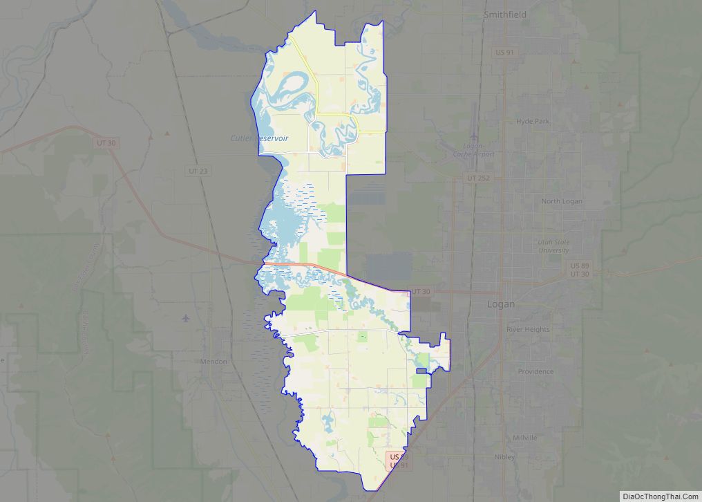
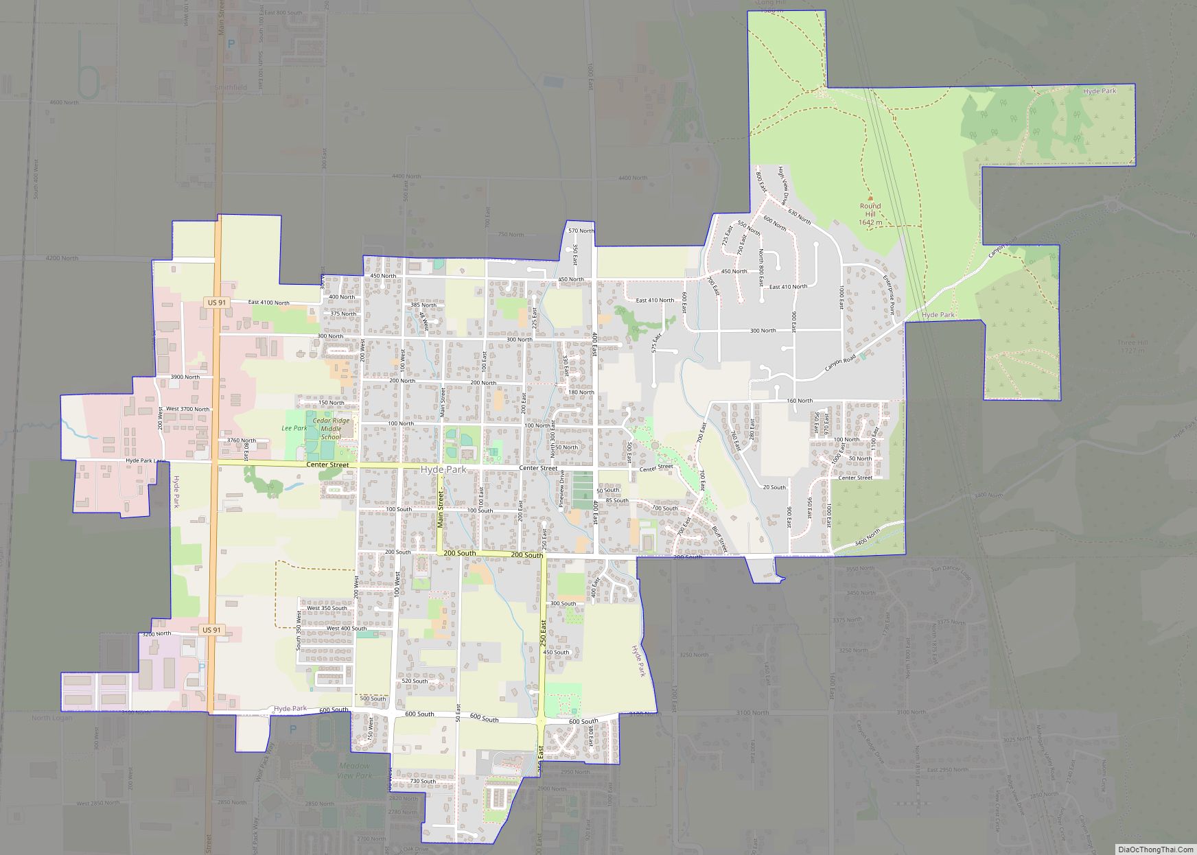
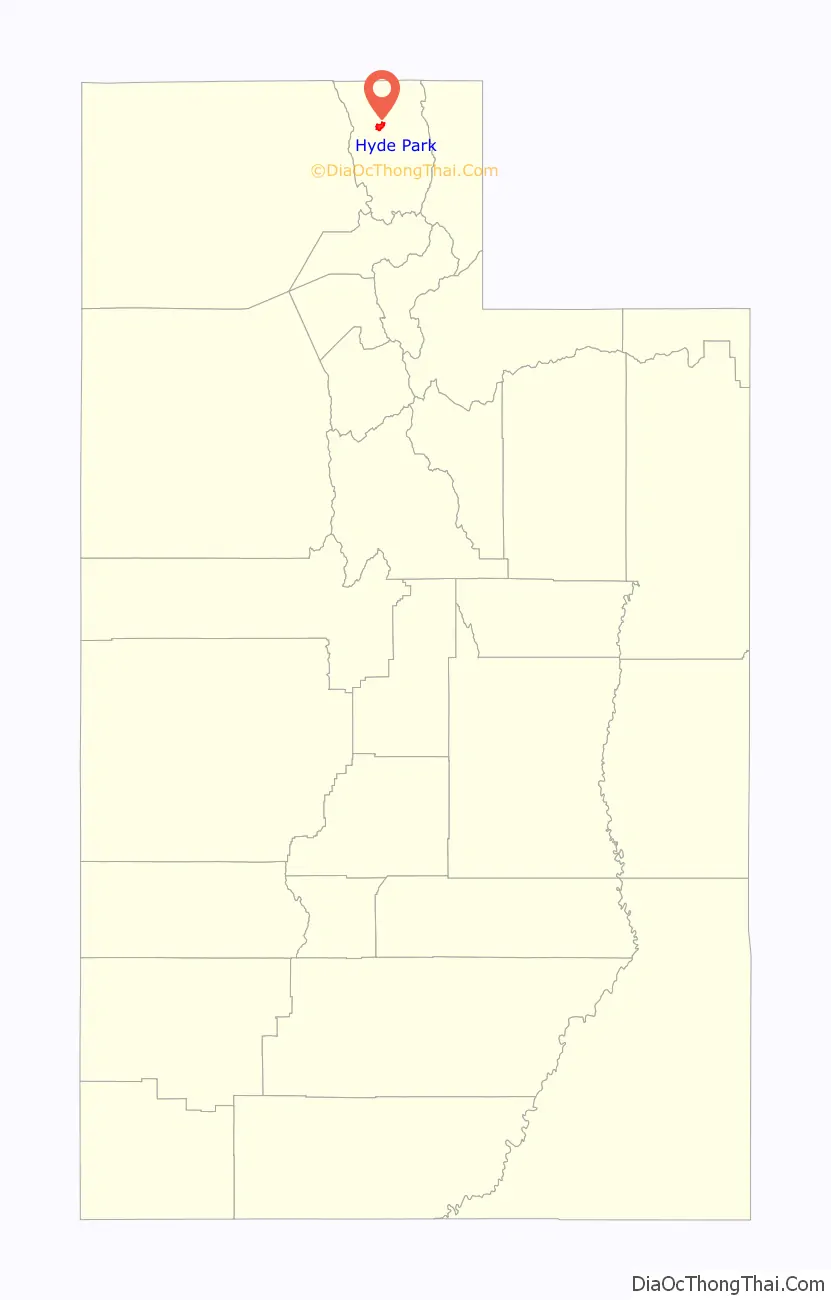
Hyde Park Road Map
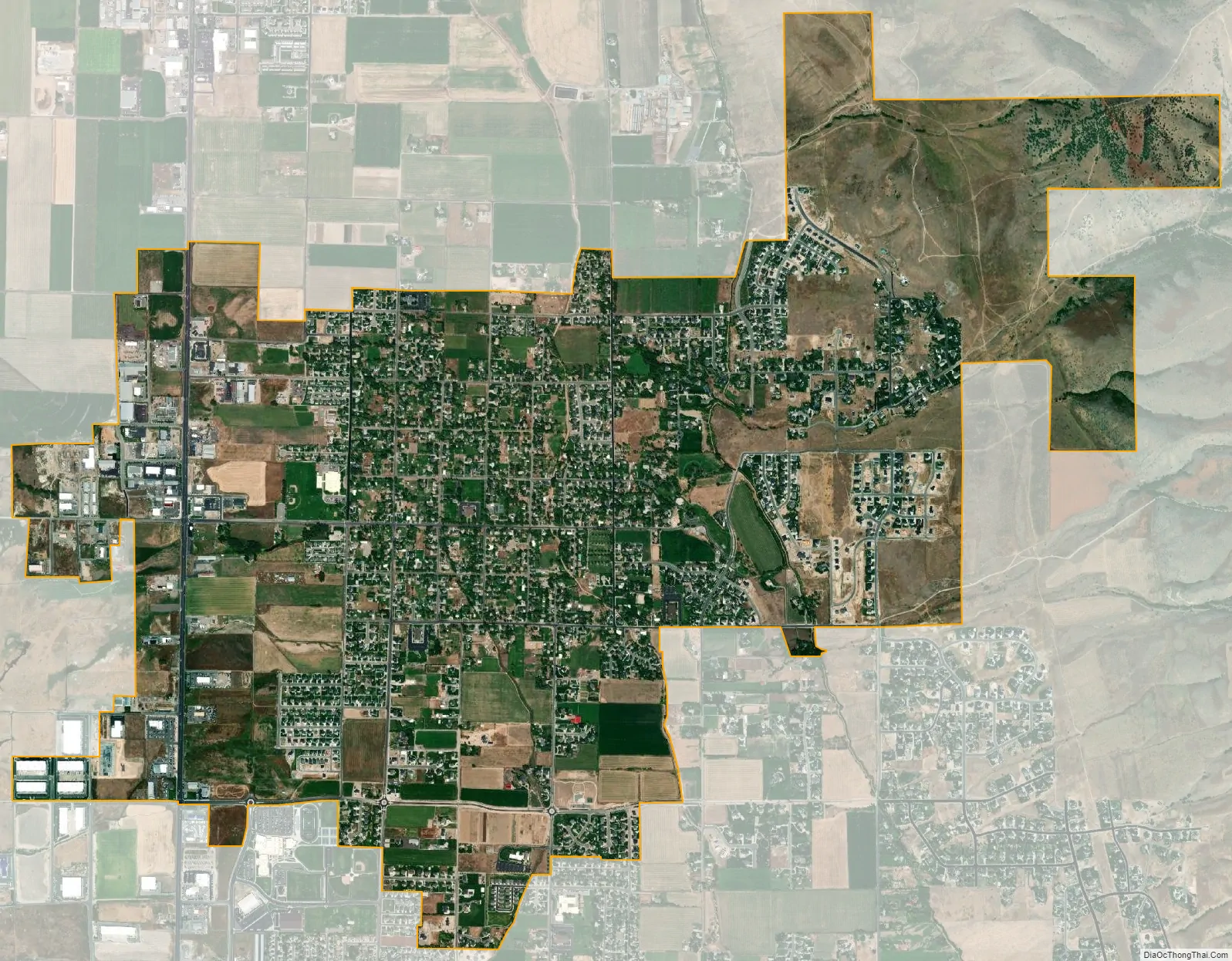
Hyde Park city Satellite Map
Geography
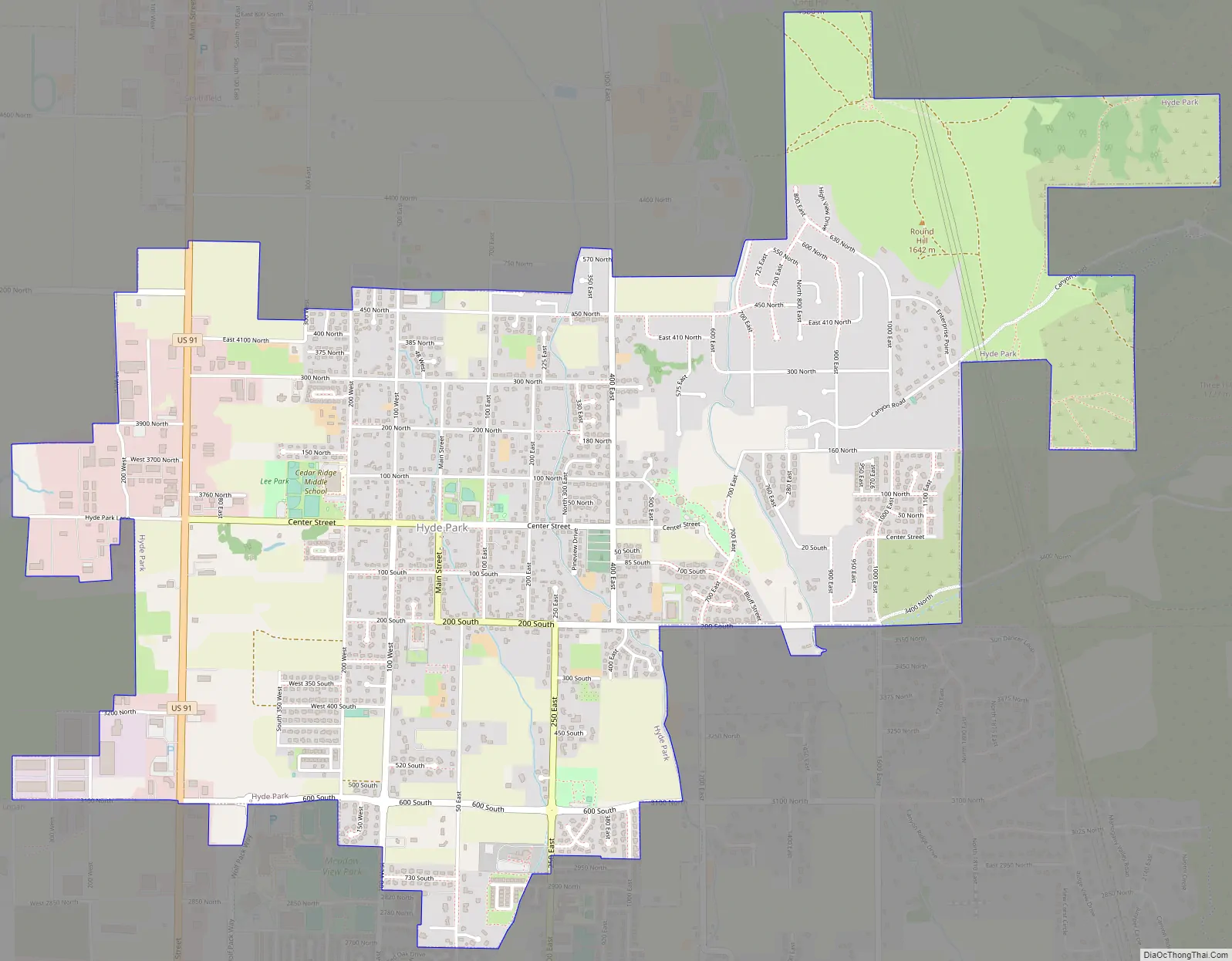
Hyde Park is located at 41°47′56″N 111°49′9″W / 41.79889°N 111.81917°W / 41.79889; -111.81917 (41.7988, -111.8191). It lies in between the cities of North Logan and Smithfield, approximately five miles north of the county seat, Logan.
According to the United States Census Bureau, the city has a total area of 3.4 square miles (8.7 km), all land.
See also
Map of Utah State and its subdivision: Map of other states:- Alabama
- Alaska
- Arizona
- Arkansas
- California
- Colorado
- Connecticut
- Delaware
- District of Columbia
- Florida
- Georgia
- Hawaii
- Idaho
- Illinois
- Indiana
- Iowa
- Kansas
- Kentucky
- Louisiana
- Maine
- Maryland
- Massachusetts
- Michigan
- Minnesota
- Mississippi
- Missouri
- Montana
- Nebraska
- Nevada
- New Hampshire
- New Jersey
- New Mexico
- New York
- North Carolina
- North Dakota
- Ohio
- Oklahoma
- Oregon
- Pennsylvania
- Rhode Island
- South Carolina
- South Dakota
- Tennessee
- Texas
- Utah
- Vermont
- Virginia
- Washington
- West Virginia
- Wisconsin
- Wyoming