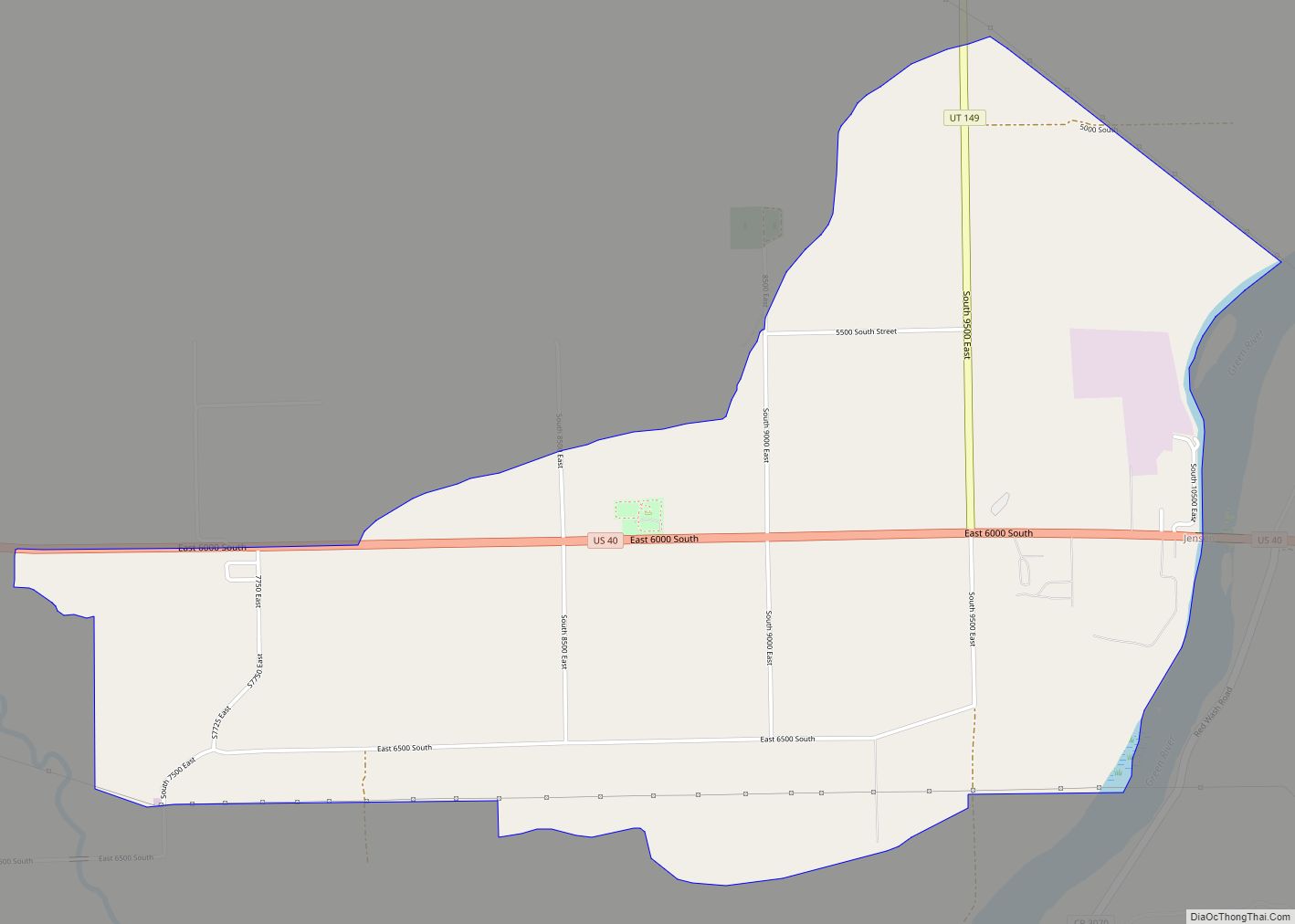
Jensen is a census-designated place in eastern Uintah County, Utah, United States. The population was 412 at the 2010 census. It lies along the Green River and U.S. Route 40, southeast of the city of Vernal, the county seat of Uintah County, and about 17 miles west of the Colorado border. Although Jensen is unincorporated, it has a post office, with the ZIP code of 84035.
Jensen was first settled in 1877 and named for Lars Jensen, an early prospector and ferryman. Today its main importance is as the Utah entrance to Dinosaur National Monument.
| Name: | Jensen CDP |
|---|---|
| LSAD Code: | 57 |
| LSAD Description: | CDP (suffix) |
| State: | Utah |
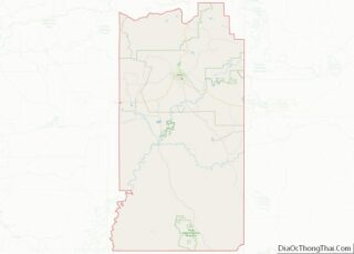
| County: | Uintah County |
| Elevation: | 4,760 ft (1,450 m) |
| Total Area: | 412 |
| ZIP code: | 84035 |
| Area code: | 435 |
| FIPS code: | 4939040 |
| GNISfeature ID: | 2629950 |
Online Interactive Map
Click on ![]() to view map in "full screen" mode.
to view map in "full screen" mode.
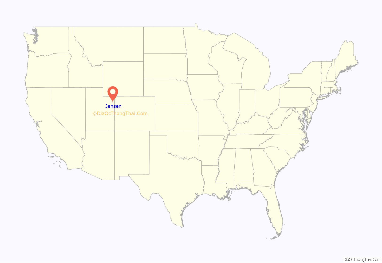
Jensen location map. Where is Jensen CDP?
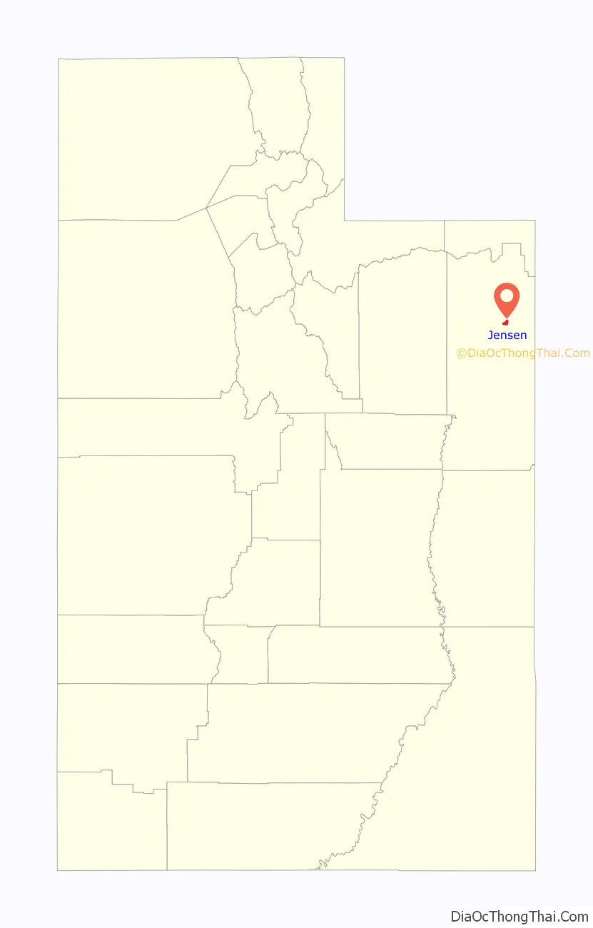
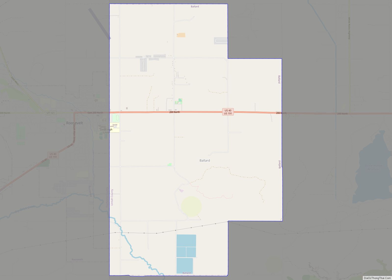
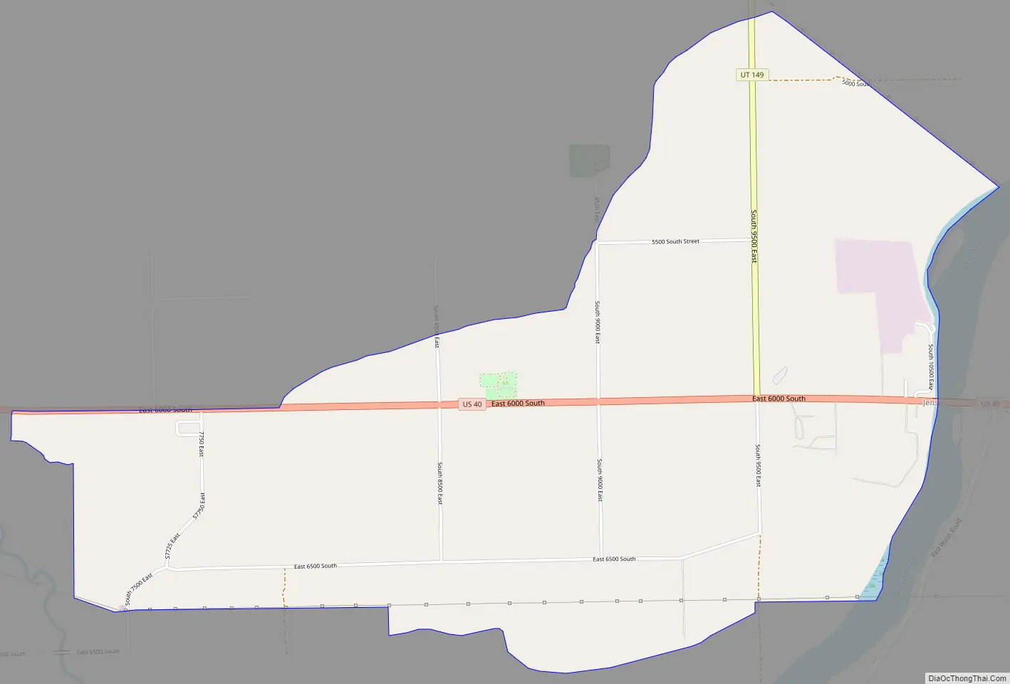
Jensen Road Map
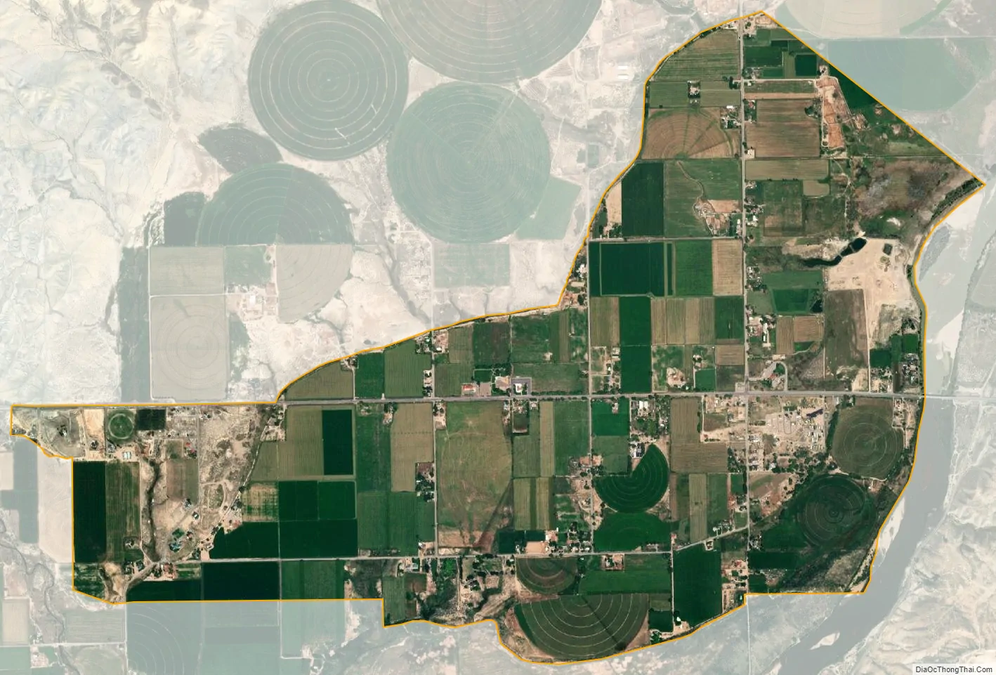
Jensen city Satellite Map
See also
Map of Utah State and its subdivision: Map of other states:- Alabama
- Alaska
- Arizona
- Arkansas
- California
- Colorado
- Connecticut
- Delaware
- District of Columbia
- Florida
- Georgia
- Hawaii
- Idaho
- Illinois
- Indiana
- Iowa
- Kansas
- Kentucky
- Louisiana
- Maine
- Maryland
- Massachusetts
- Michigan
- Minnesota
- Mississippi
- Missouri
- Montana
- Nebraska
- Nevada
- New Hampshire
- New Jersey
- New Mexico
- New York
- North Carolina
- North Dakota
- Ohio
- Oklahoma
- Oregon
- Pennsylvania
- Rhode Island
- South Carolina
- South Dakota
- Tennessee
- Texas
- Utah
- Vermont
- Virginia
- Washington
- West Virginia
- Wisconsin
- Wyoming