Liberty is a census-designated place in Weber County, Utah, United States. The population was 1,257 at the 2010 census. It is part of the Ogden–Clearfield, Utah Metropolitan Statistical Area, as well as the Ogden Valley census county division.
| Name: | Liberty CDP |
|---|---|
| LSAD Code: | 57 |
| LSAD Description: | CDP (suffix) |
| State: | Utah |
| County: | Weber County |
| Elevation: | 5,167 ft (1,575 m) |
| Total Area: | 5.9 sq mi (15 km²) |
| Land Area: | 5.9 sq mi (15 km²) |
| Water Area: | 0.0 sq mi (0 km²) |
| Total Population: | 1,257 |
| Population Density: | 210/sq mi (82/km²) |
| ZIP code: | 84310 |
| Area code: | 385, 801 |
| FIPS code: | 4944870 |
| GNISfeature ID: | 2584770 |
Online Interactive Map
Click on ![]() to view map in "full screen" mode.
to view map in "full screen" mode.
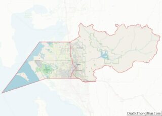
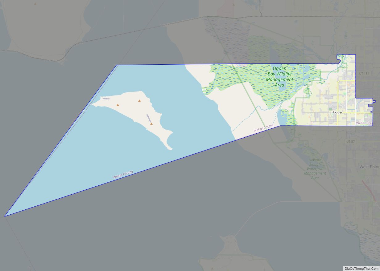
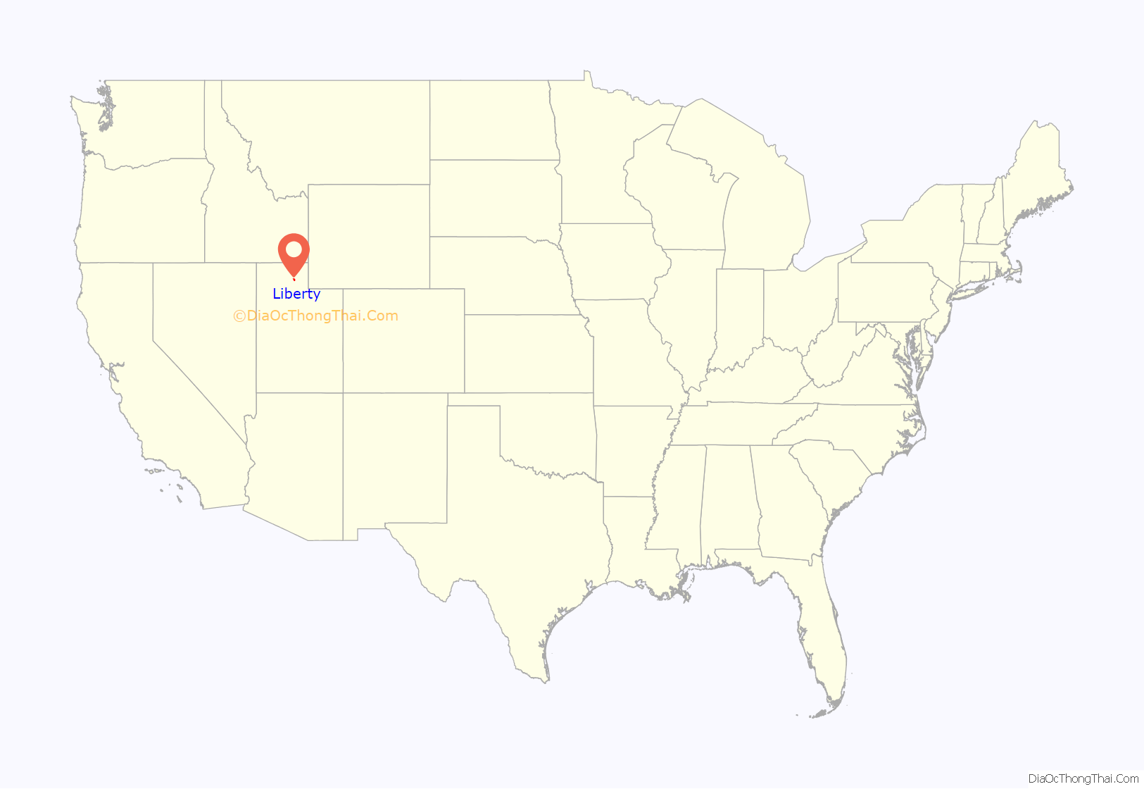
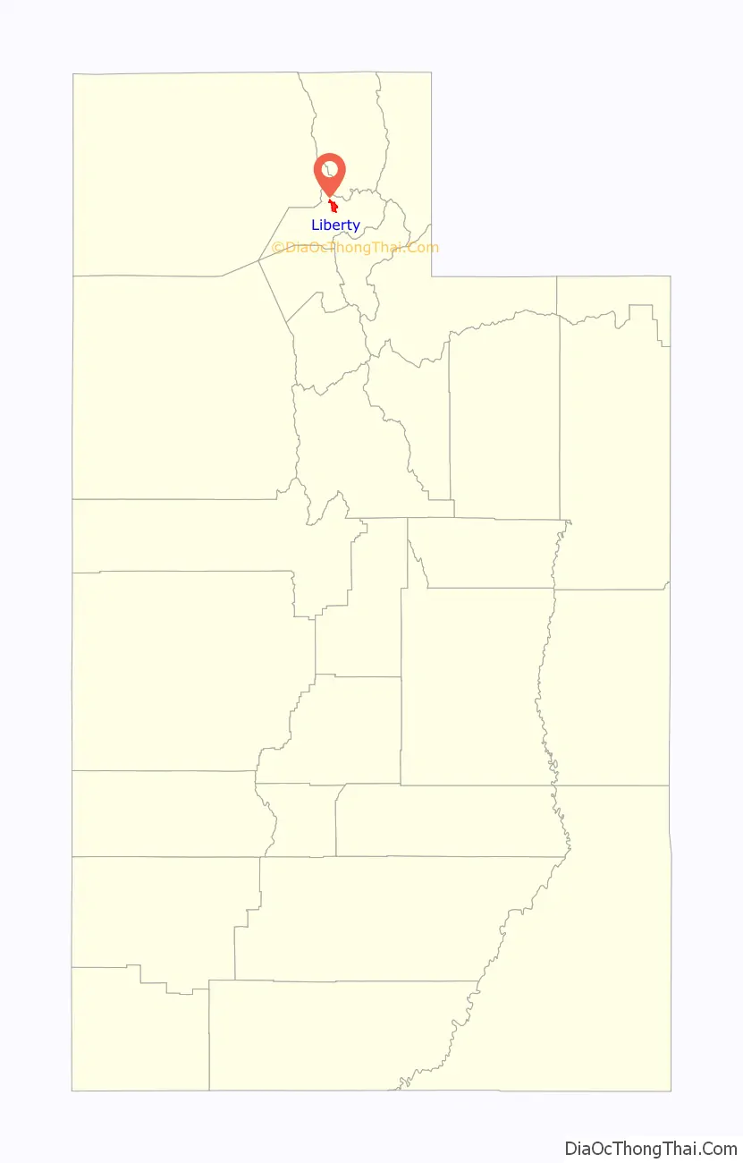
Liberty location map. Where is Liberty CDP?
History
British trapper and explorer Peter Skene Ogden was the first European to map and describe the “Ogden Hole” valley which would later include Liberty. The Liberty area was settled beginning in 1859 as an outgrowth of Eden. In 1892, a separate townsite was laid out and a separate ward of the Church of Jesus Christ of Latter-day Saints organized. The name came from John Freeman’s remarks that both cattle and people took “full liberty” in the area.
Settlement happened gradually, homes built one at a time rather than in tract housing. Traditionally a farming and ranching community, Liberty has developed in recent years into a recreational community and commuter town for the Ogden area.
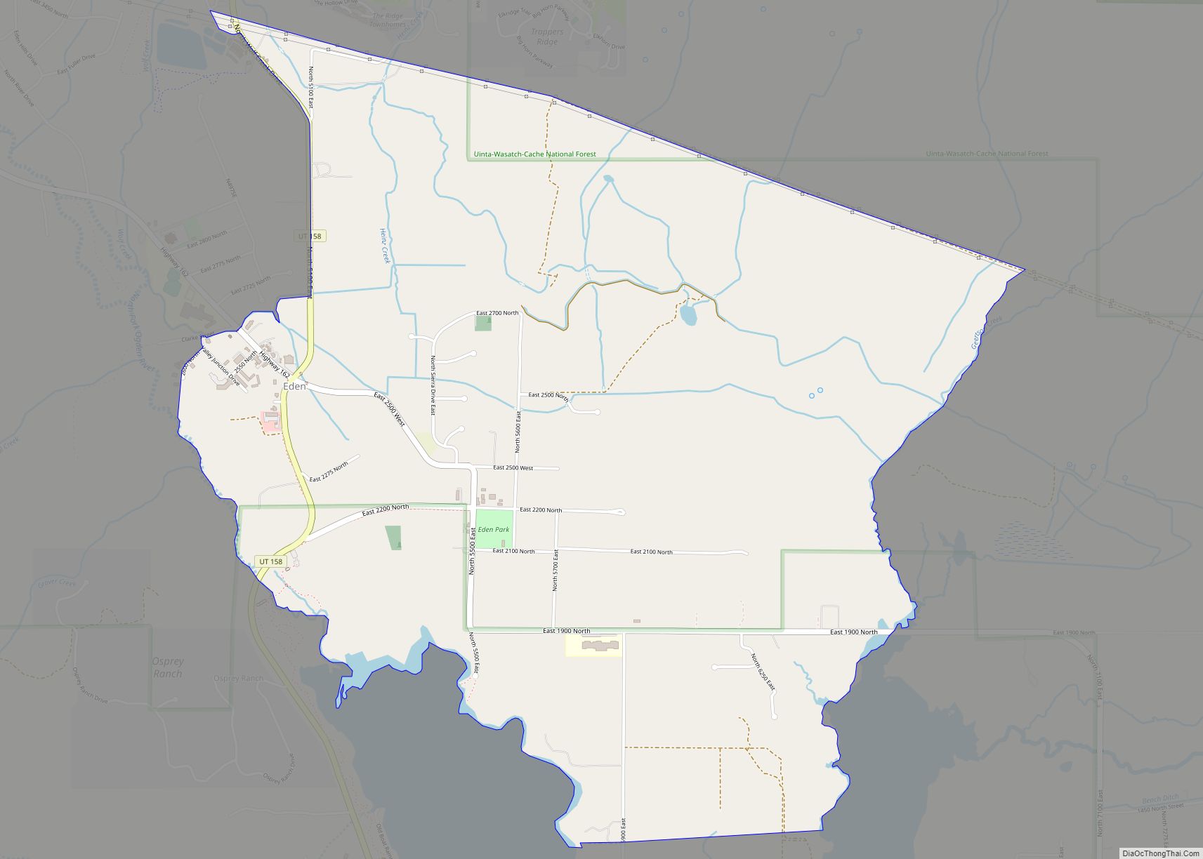
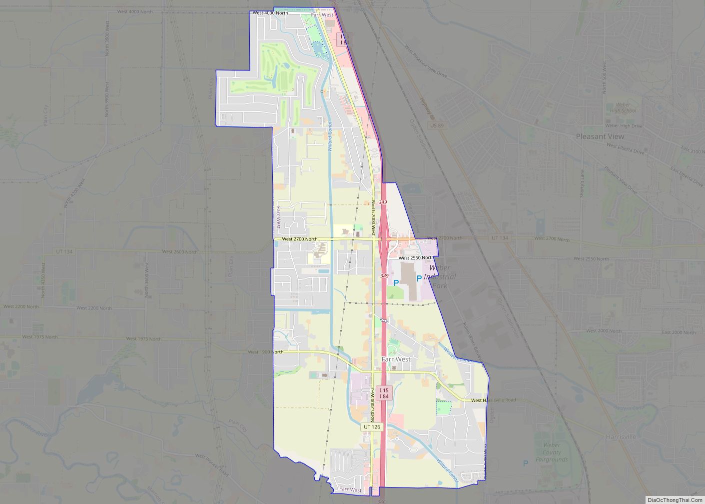
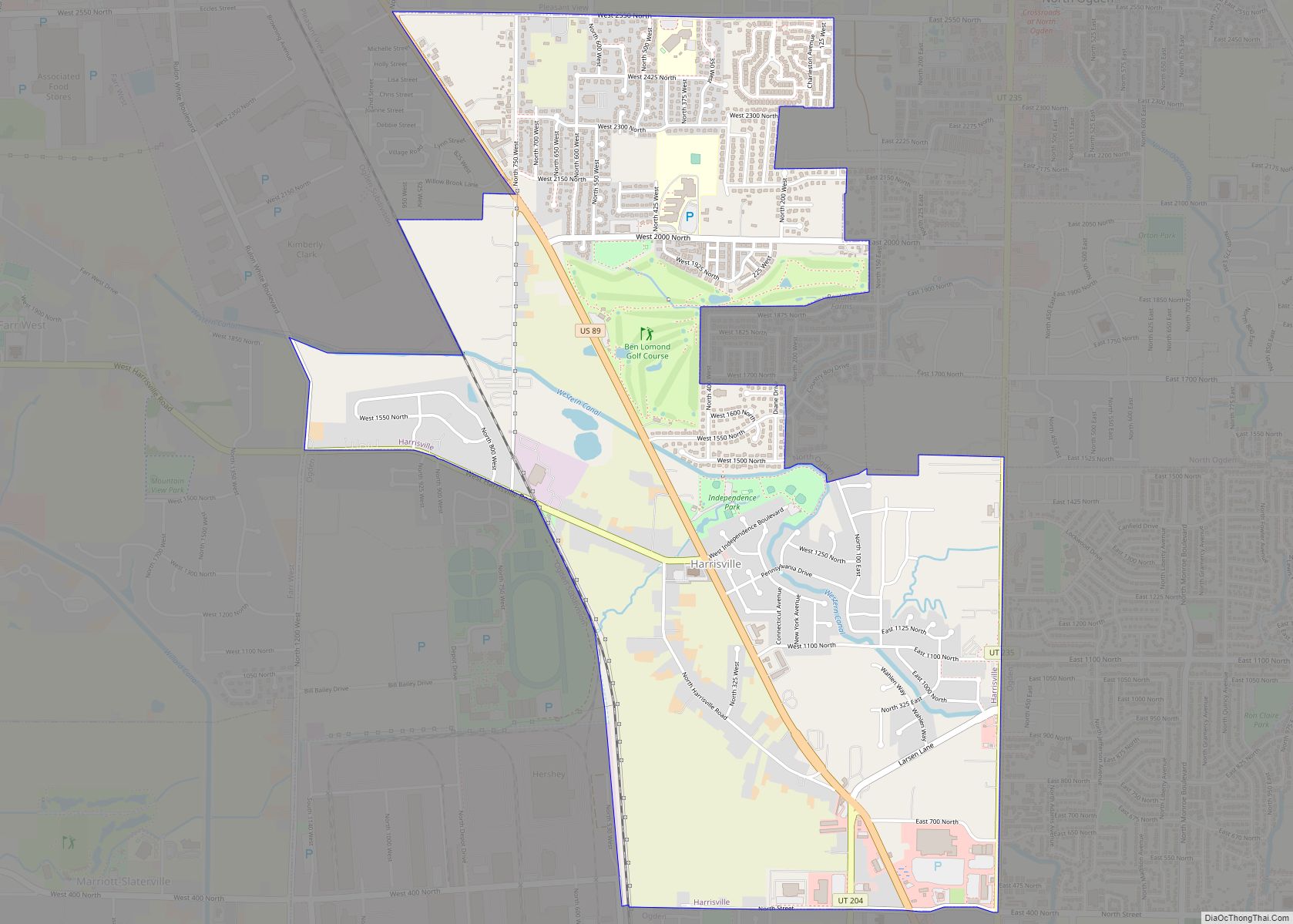
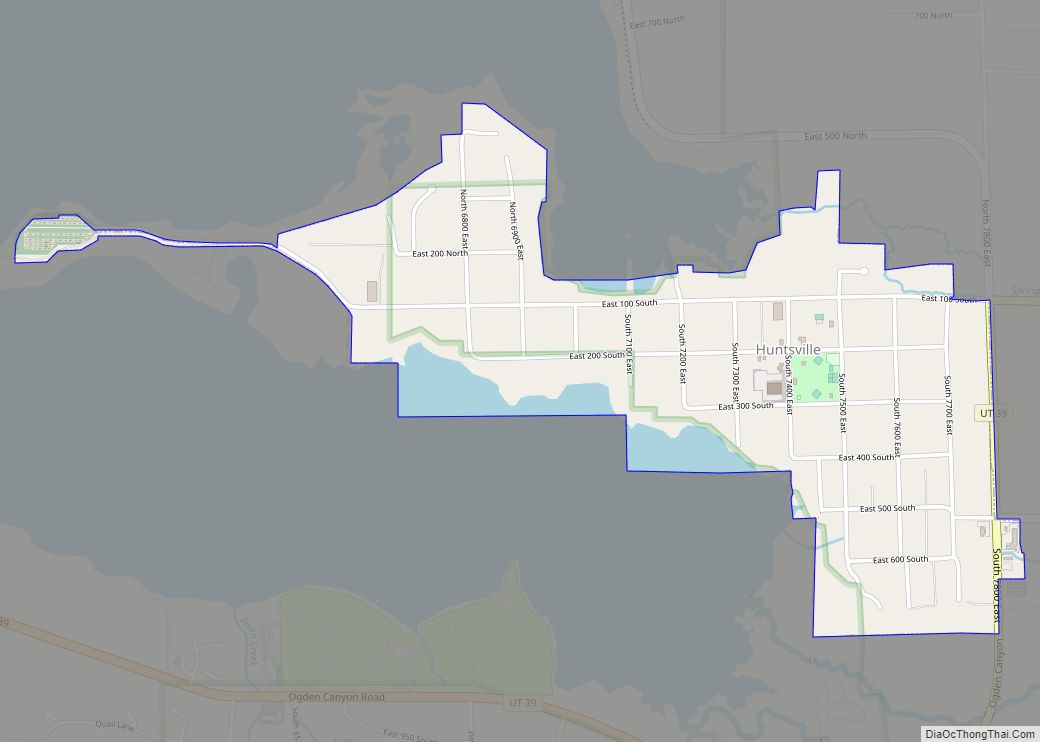
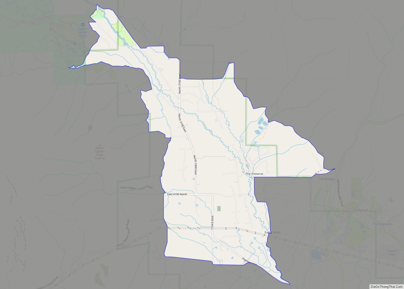
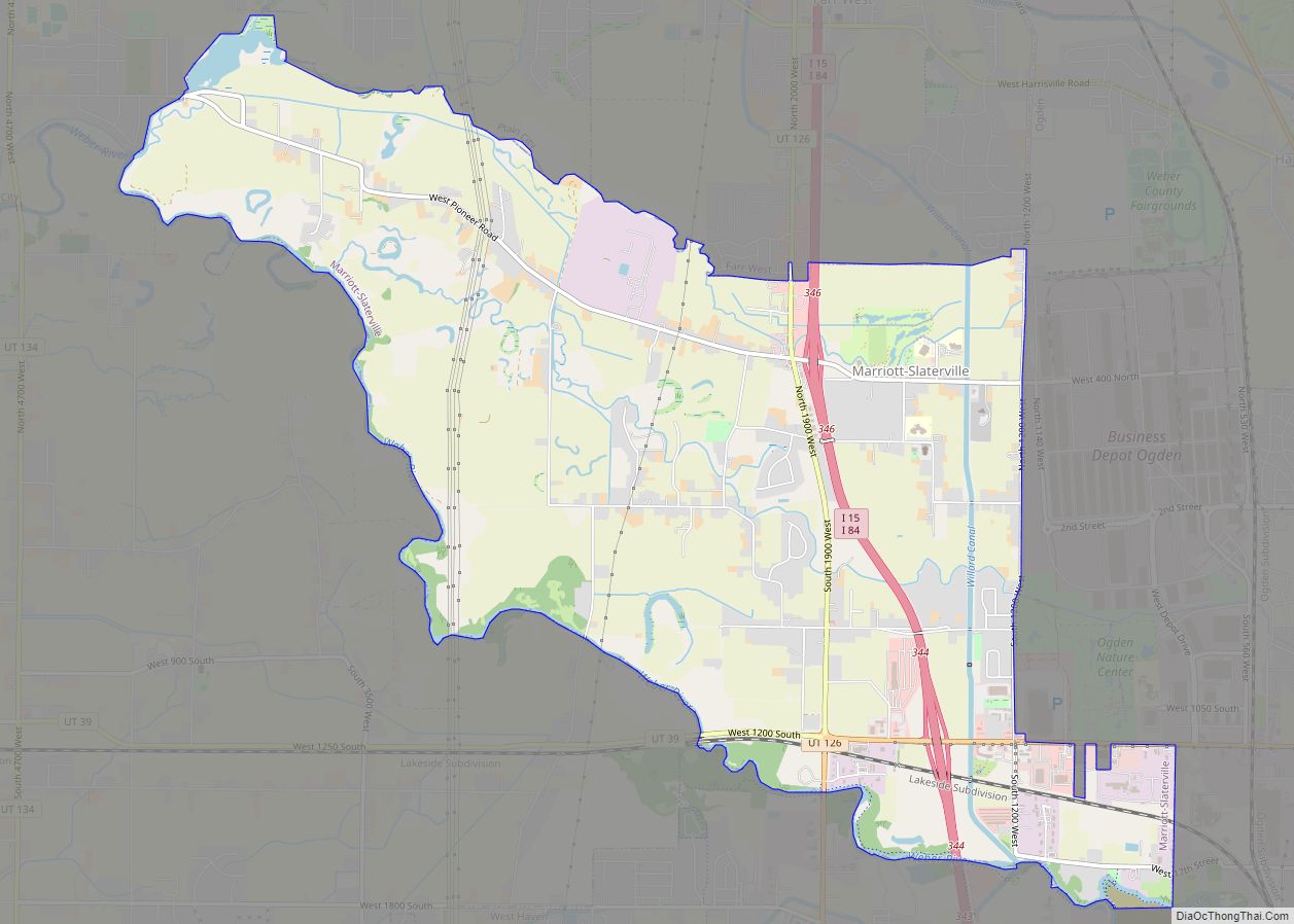
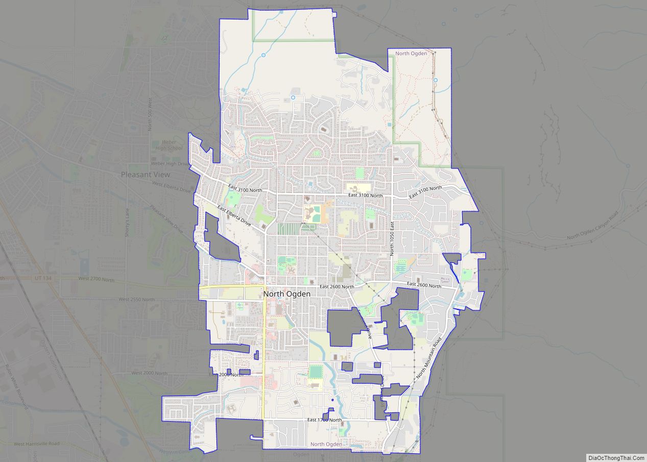
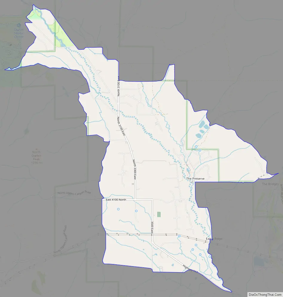
Liberty Road Map
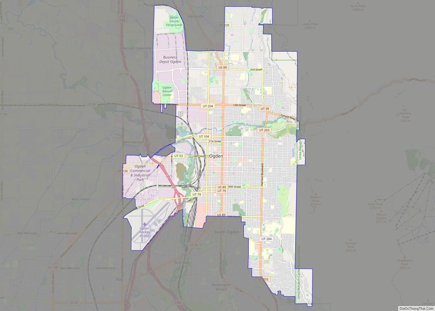
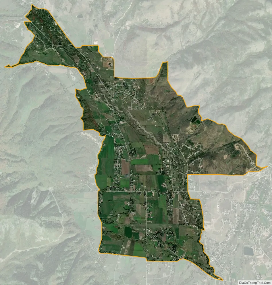
Liberty city Satellite Map
Geography
Liberty lies in the northwestern Ogden Valley of the Wasatch Range, approximately 4 miles (6.4 km) across the North Ogden Divide and east of North Ogden and 2 miles (3.2 km) northwest of Eden. Near Liberty are Nordic Valley, Utah State Route 158, and the Nordic Valley ski resort. To the southeast, just past Eden, are Pineview Reservoir and the town of Huntsville. Avon Road, formerly State Route 162, leads north over the Avon Pass to Avon.
See also
Map of Utah State and its subdivision: Map of other states:- Alabama
- Alaska
- Arizona
- Arkansas
- California
- Colorado
- Connecticut
- Delaware
- District of Columbia
- Florida
- Georgia
- Hawaii
- Idaho
- Illinois
- Indiana
- Iowa
- Kansas
- Kentucky
- Louisiana
- Maine
- Maryland
- Massachusetts
- Michigan
- Minnesota
- Mississippi
- Missouri
- Montana
- Nebraska
- Nevada
- New Hampshire
- New Jersey
- New Mexico
- New York
- North Carolina
- North Dakota
- Ohio
- Oklahoma
- Oregon
- Pennsylvania
- Rhode Island
- South Carolina
- South Dakota
- Tennessee
- Texas
- Utah
- Vermont
- Virginia
- Washington
- West Virginia
- Wisconsin
- Wyoming