Maeser (/ˈmeɪzər/ MAY-zər) is a census-designated place (CDP) in Uintah County, Utah, United States. The population was 2,855 at the 2000 census, a small increase over the 1990 figure of 2,598. The village is named after Karl Maeser, an educator.
| Name: | Maeser CDP |
|---|---|
| LSAD Code: | 57 |
| LSAD Description: | CDP (suffix) |
| State: | Utah |
| County: | Uintah County |
| Elevation: | 5,600 ft (1,707 m) |
| Total Area: | 6.5 sq mi (16.8 km²) |
| Land Area: | 6.5 sq mi (16.8 km²) |
| Water Area: | 0.0 sq mi (0.0 km²) |
| Total Population: | 2,855 |
| Population Density: | 439.7/sq mi (169.8/km²) |
| ZIP code: | 84078 |
| Area code: | 435 |
| FIPS code: | 4947180 |
| GNISfeature ID: | 1430036 |
Online Interactive Map
Click on ![]() to view map in "full screen" mode.
to view map in "full screen" mode.
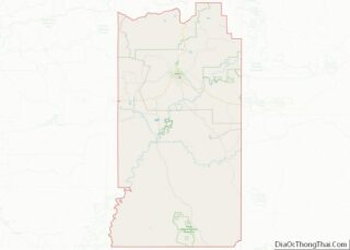
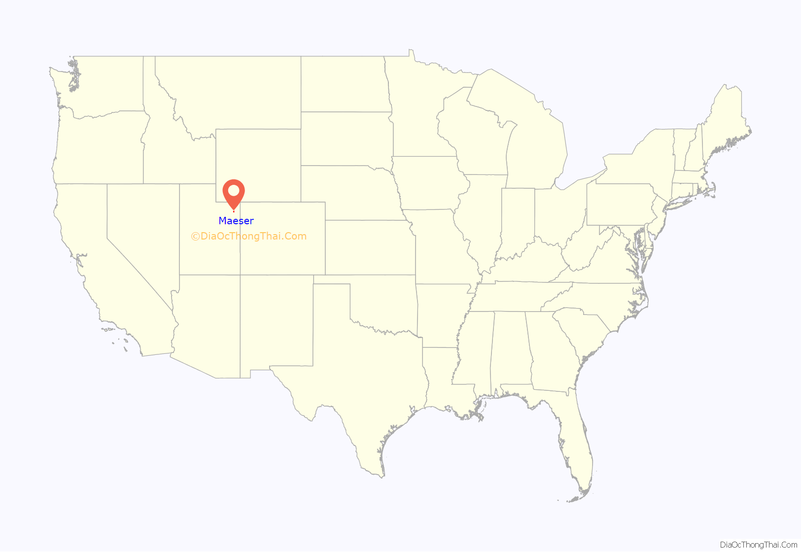
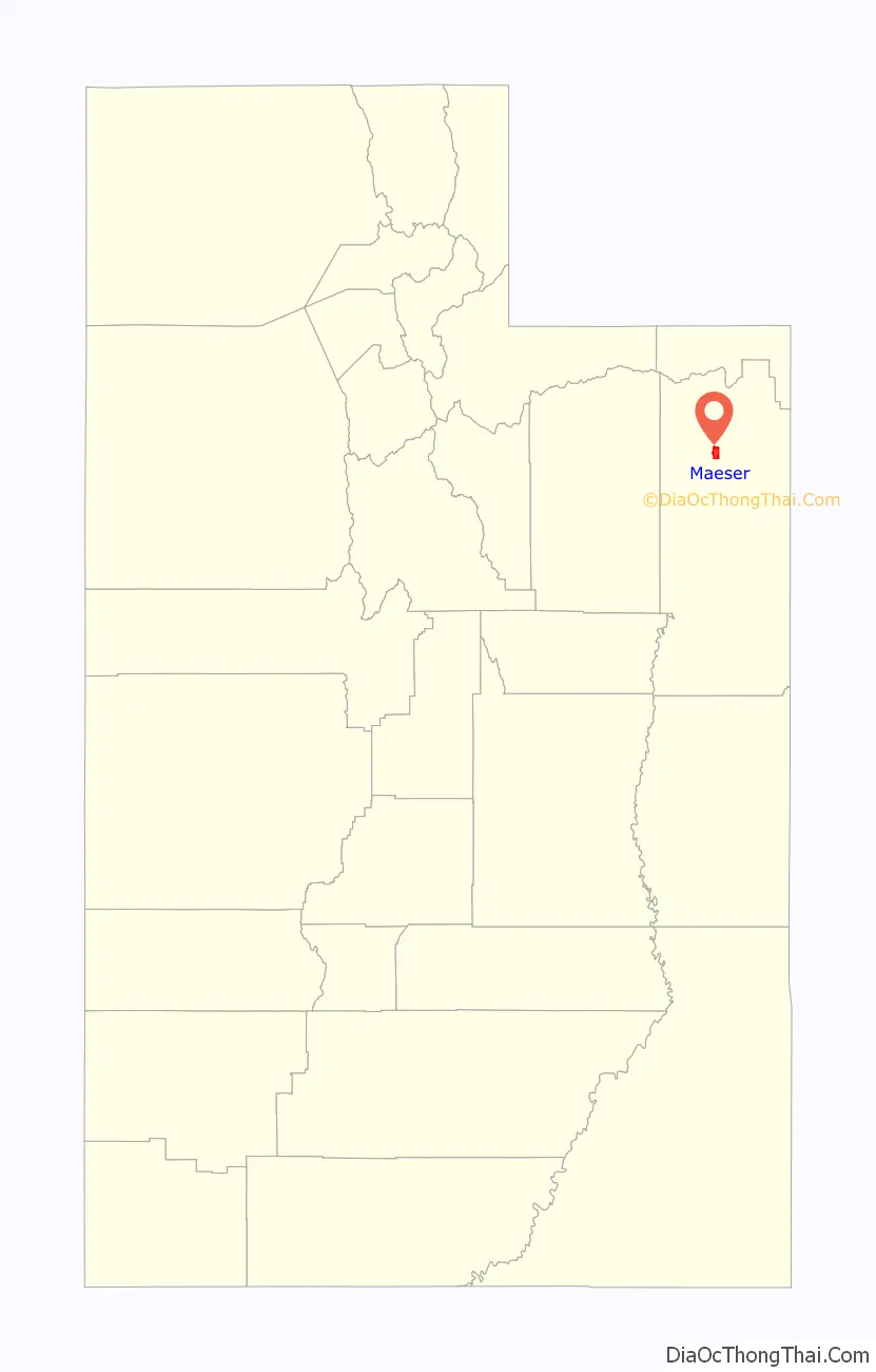
Maeser location map. Where is Maeser CDP?
History
Maeser was first settled in 1878. It became an incorporated municipality in 1935, but disincorporated on July 9, 1970.
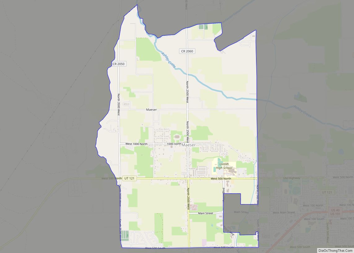
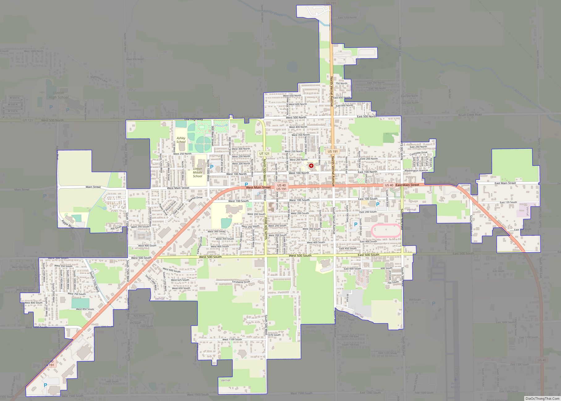
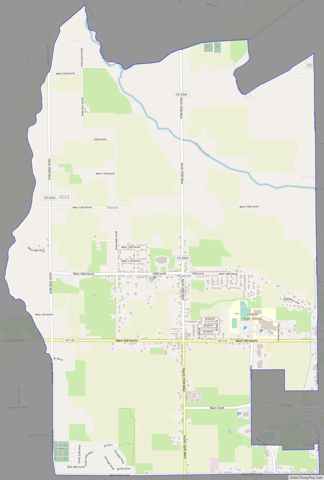
Maeser Road Map
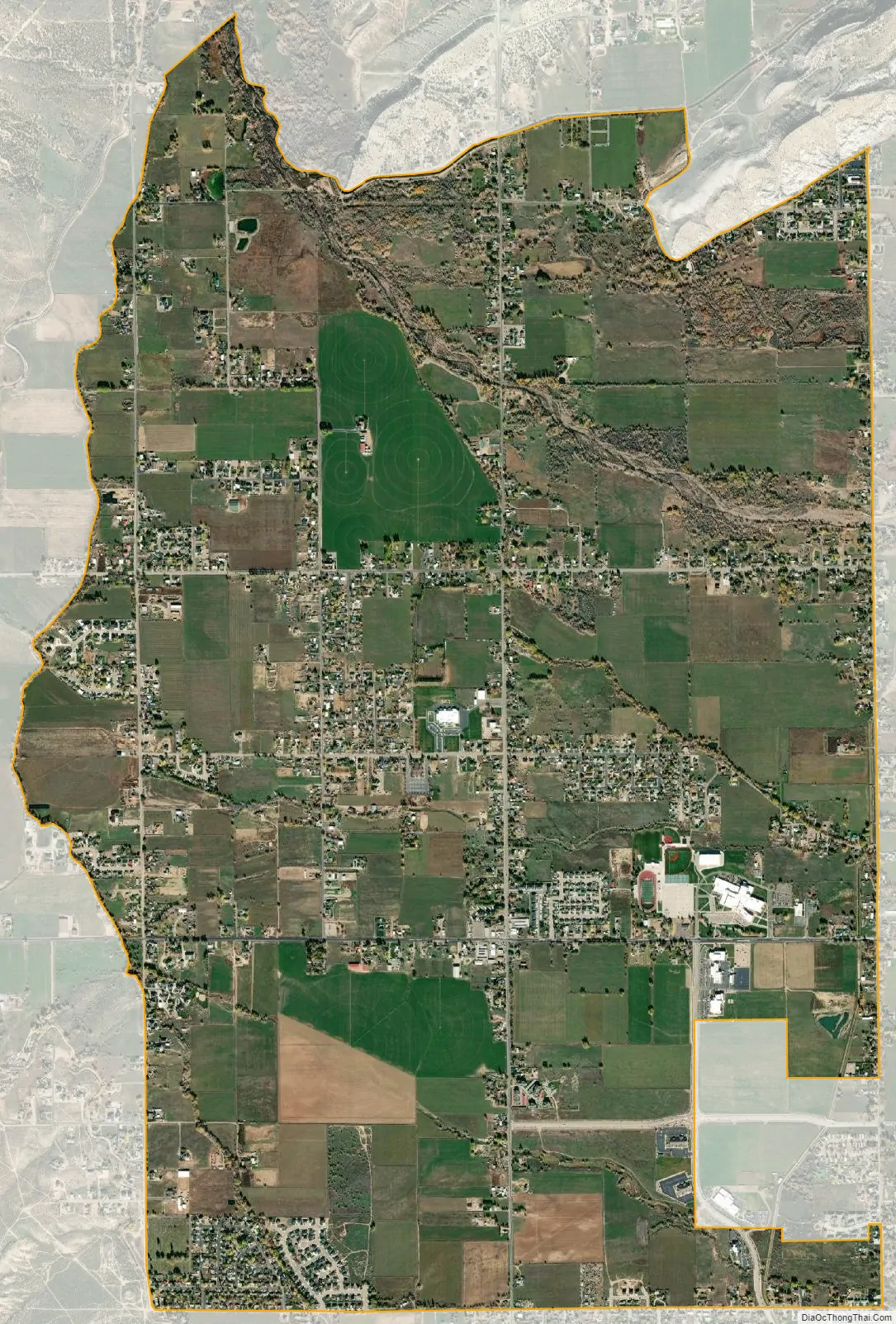
Maeser city Satellite Map
Geography
According to the United States Census Bureau, the CDP has a total area of 6.5 square miles (16.8 km), all land.
The community is west of U.S. Route 191 in the Ashley National Forest.
See also
Map of Utah State and its subdivision: Map of other states:- Alabama
- Alaska
- Arizona
- Arkansas
- California
- Colorado
- Connecticut
- Delaware
- District of Columbia
- Florida
- Georgia
- Hawaii
- Idaho
- Illinois
- Indiana
- Iowa
- Kansas
- Kentucky
- Louisiana
- Maine
- Maryland
- Massachusetts
- Michigan
- Minnesota
- Mississippi
- Missouri
- Montana
- Nebraska
- Nevada
- New Hampshire
- New Jersey
- New Mexico
- New York
- North Carolina
- North Dakota
- Ohio
- Oklahoma
- Oregon
- Pennsylvania
- Rhode Island
- South Carolina
- South Dakota
- Tennessee
- Texas
- Utah
- Vermont
- Virginia
- Washington
- West Virginia
- Wisconsin
- Wyoming