Marriott-Slaterville is a city in Weber County, Utah, United States. The population was 1,701 at the 2010 census. It is part of the Ogden–Clearfield, Utah Metropolitan Statistical Area. The city was incorporated in July 1999, in a merger of the previously unincorporated communities of Marriott and Slaterville.
| Name: | Marriott-Slaterville city |
|---|---|
| LSAD Code: | 25 |
| LSAD Description: | city (suffix) |
| State: | Utah |
| County: | Weber County |
| Incorporated: | July 1999 |
| Elevation: | 4,252 ft (1,296 m) |
| Total Area: | 7.38 sq mi (19.10 km²) |
| Land Area: | 7.21 sq mi (18.68 km²) |
| Water Area: | 0.16 sq mi (0.42 km²) |
| Total Population: | 1,701 |
| Population Density: | 263.10/sq mi (101.59/km²) |
| FIPS code: | 4948300 |
| GNISfeature ID: | 1851823 |
| Website: | www.marriott-slaterville.org |
Online Interactive Map
Click on ![]() to view map in "full screen" mode.
to view map in "full screen" mode.
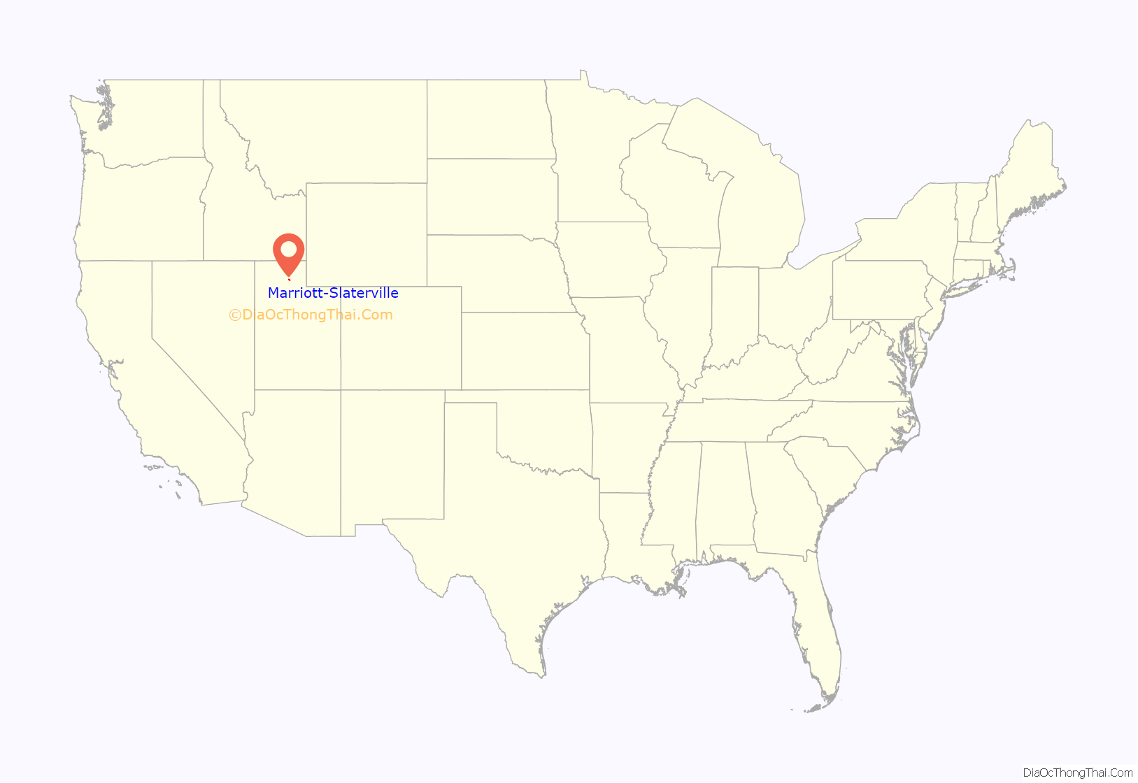
Marriott-Slaterville location map. Where is Marriott-Slaterville city?
History
Marriott-Slaterville City was originally settled by several Latter Day Saint pioneer families, in 1852, including the Richard Slater family, and the Perry, Smout, Marriott, and Field families. Many living descendants of these families, including relatives of J. Willard Marriott, pioneer hotelier of the 20th century and founder of Marriott International, still reside within Marriott-Slaterville.
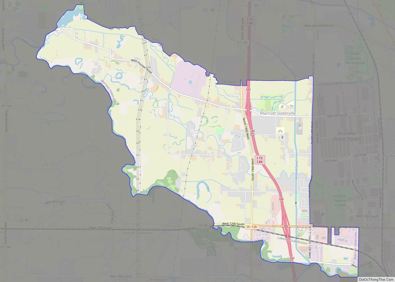
Marriott-Slaterville Road Map
Marriott-Slaterville city Satellite Map
Geography
According to the United States Census Bureau, the city has a total area of 7.5 square miles (19.3 km), of which 7.3 square miles (19 km) is land and 0.2 square miles (0.52 km) (2.68%) is water.
See also
Map of Utah State and its subdivision: Map of other states:- Alabama
- Alaska
- Arizona
- Arkansas
- California
- Colorado
- Connecticut
- Delaware
- District of Columbia
- Florida
- Georgia
- Hawaii
- Idaho
- Illinois
- Indiana
- Iowa
- Kansas
- Kentucky
- Louisiana
- Maine
- Maryland
- Massachusetts
- Michigan
- Minnesota
- Mississippi
- Missouri
- Montana
- Nebraska
- Nevada
- New Hampshire
- New Jersey
- New Mexico
- New York
- North Carolina
- North Dakota
- Ohio
- Oklahoma
- Oregon
- Pennsylvania
- Rhode Island
- South Carolina
- South Dakota
- Tennessee
- Texas
- Utah
- Vermont
- Virginia
- Washington
- West Virginia
- Wisconsin
- Wyoming
