Mount Pleasant is a city in the U.S. state of Utah. Located in Sanpete County, Mt. Pleasant is known for being home to Wasatch Academy. As of the 2010 census, the city population was 3,260.
| Name: | Mount Pleasant city |
|---|---|
| LSAD Code: | 25 |
| LSAD Description: | city (suffix) |
| State: | Utah |
| County: | Sanpete County |
| Incorporated: | 1868 |
| Elevation: | 5,925 ft (1,806 m) |
| Total Area: | 2.93 sq mi (7.59 km²) |
| Land Area: | 2.93 sq mi (7.59 km²) |
| Water Area: | 0.00 sq mi (0.00 km²) |
| Total Population: | 3,655 |
| Population Density: | 1,204.78/sq mi (465.11/km²) |
| ZIP code: | 84647 |
| Area code: | 435 |
| FIPS code: | 4953010 |
| GNISfeature ID: | 1430522 |
Online Interactive Map
Click on ![]() to view map in "full screen" mode.
to view map in "full screen" mode.
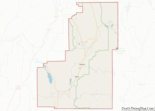
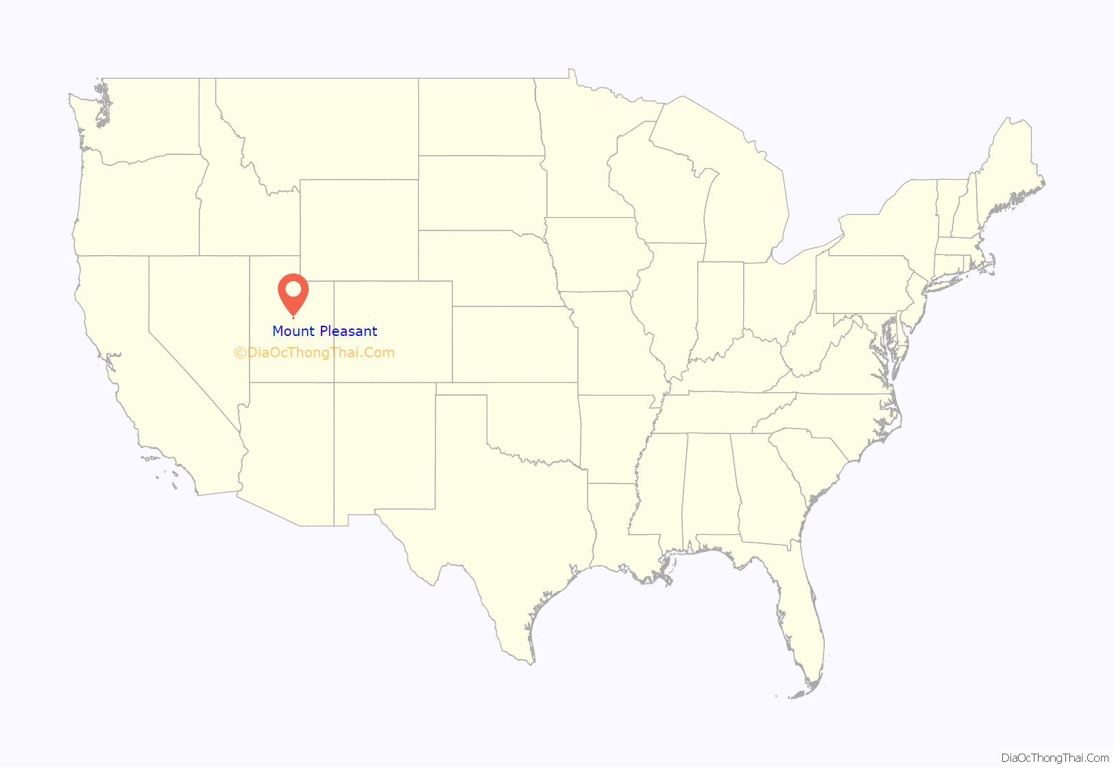
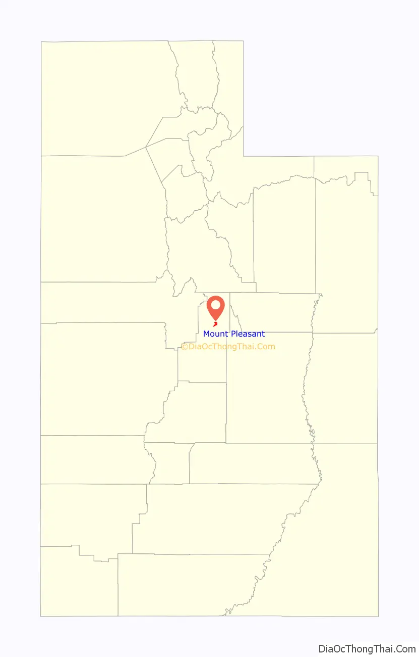
Mount Pleasant location map. Where is Mount Pleasant city?
History
In the spring of 1852, Latter-Day Saint colonists from Manti led by Madison D. Hambleton established the Hambleton Settlement near the present site of Mt. Pleasant. During the Wakara War, the settlers relocated to Spring Town (Spring City) and later to Manti for protection. The old settlement was burned down by local Native Americans. A large colonizing party from Ephraim and Manti returned to the area in 1859. This was when a permanent townsite was laid out in its present location.
Among the founding settlers were Latter-Day Saint converts from Scandinavia, the United Kingdom, and the eastern United States. By 1880, Mt. Pleasant was the county’s largest city, with a population of 2,000, and more than 72 percent of its married adults were foreign-born. This ethnic diversity had an important impact on village life during the nineteenth and early twentieth centuries. For decades, five languages were commonly spoken in the town.
The settlement and development of Mt. Pleasant followed the typical pattern for Latter-Day Saint towns of the period. A square-shaped townsite was surveyed, lots were drawn, and the land was distributed among the population. Under the direction of James Russell Ivie (1802–1866), a fort of adobe walls and log cabins was built. Pleasant Creek ran through the fort and farming was done outside of its walls. Ivie was killed in the Ute Black Hawk War by Indians who had declined to participate in the settlement of the earlier Wakara War. Around that time the town acquired its present name. In 1872 the final peace treaty with the Indians was signed in Bishop Seeley’s house on Main Street, bringing an end to this conflict. By this time, many settlers had erected homesteads outside of the fort. Although the town site is large in scale, the density is relatively low due to the original layout allowing for only four lots per block.
Some of the first industries in Mt. Pleasant included tanning, shoe making, blacksmithing, basket making, and freighting. Eventual modernization brought such improvements as the Deseret Telegraph in 1869, the Pyramid Newspaper in 1890, and a telephone system in 1891.
Sawmills and flour mills were built, irrigation systems were dug, and a municipal government was created to oversee public laws and improvements. The city was incorporated in 1868, a year after the first cooperative store was founded. Upon the arrival of the Rio Grande Western Railway in 1890, both the local population and the city’s prosperity increased dramatically. By 1900, Mt. Pleasant had grown to nearly 3,000 people, the largest size reached by any city in Sanpete County to that time, and the city had earned one of its nicknames, “Hub City.”
The increased wealth in the town led to the replacement of small, wood-frame commercial buildings with stone and brick structures such as the 1888 Sanpete County Co-op. Victorian churches, schools, and residences replaced the simpler adobe and log buildings of the pioneer period.
By 1912, the first high school, North Sanpete High School, had been completed. 1912 also brought the Armory Hall, while the Elite Theater was constructed as a “fireproof” building in 1913. It burned down seven decades later. In 1917, a Carnegie Library was built in a modern architectural style. The Marie Hotel was erected in 1920 and a large cheese factory was built in 1930, the same year that the bus service came to town. The completion of U.S. Highway 89 in 1936 softened the impact of the Great Depression. A city hall was built in 1939 and a hospital in 1945.
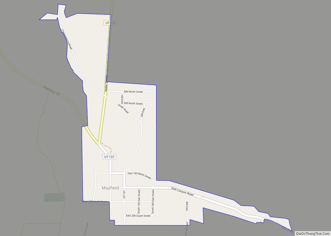
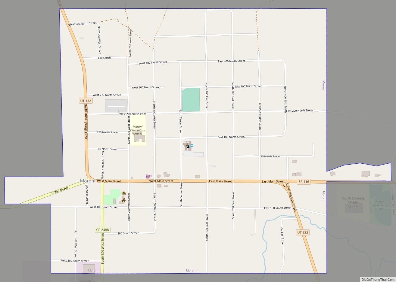
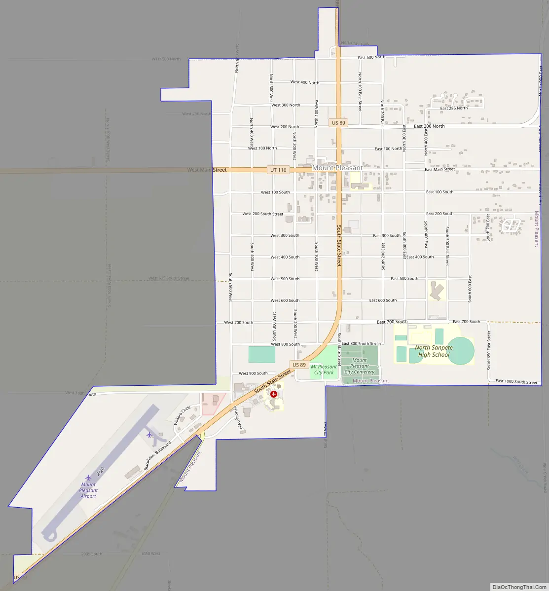
Mount Pleasant Road Map
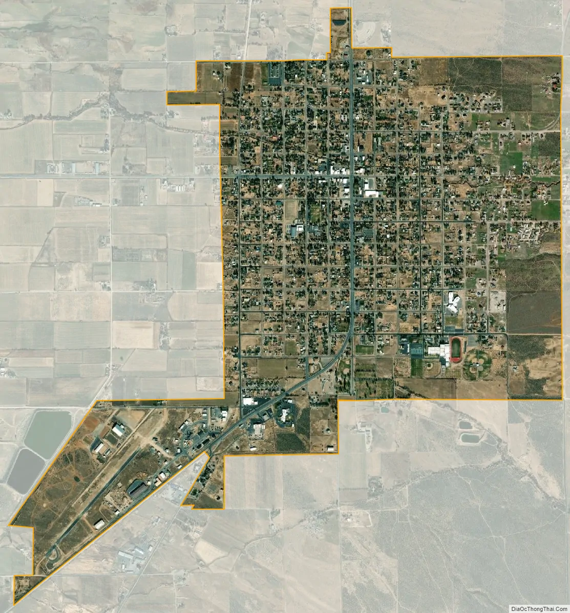
Mount Pleasant city Satellite Map
Geography
According to the United States Census Bureau, the city has a total area of 2.8 square miles (7.3 km), all land.
Climate
This climatic region is typified by large seasonal temperature differences, with warm, dry summers and cold (sometimes severely cold) winters. According to the Köppen Climate Classification system, Mount Pleasant has a warm summer continental climate, abbreviated “DFB” on climate maps.
See also
Map of Utah State and its subdivision: Map of other states:- Alabama
- Alaska
- Arizona
- Arkansas
- California
- Colorado
- Connecticut
- Delaware
- District of Columbia
- Florida
- Georgia
- Hawaii
- Idaho
- Illinois
- Indiana
- Iowa
- Kansas
- Kentucky
- Louisiana
- Maine
- Maryland
- Massachusetts
- Michigan
- Minnesota
- Mississippi
- Missouri
- Montana
- Nebraska
- Nevada
- New Hampshire
- New Jersey
- New Mexico
- New York
- North Carolina
- North Dakota
- Ohio
- Oklahoma
- Oregon
- Pennsylvania
- Rhode Island
- South Carolina
- South Dakota
- Tennessee
- Texas
- Utah
- Vermont
- Virginia
- Washington
- West Virginia
- Wisconsin
- Wyoming