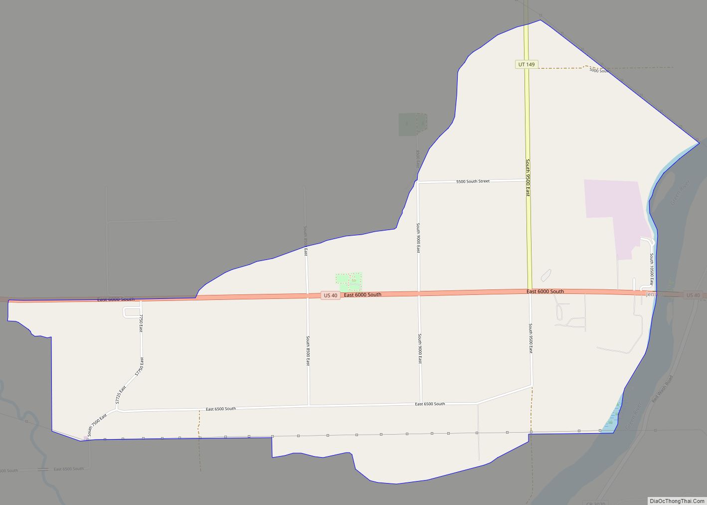
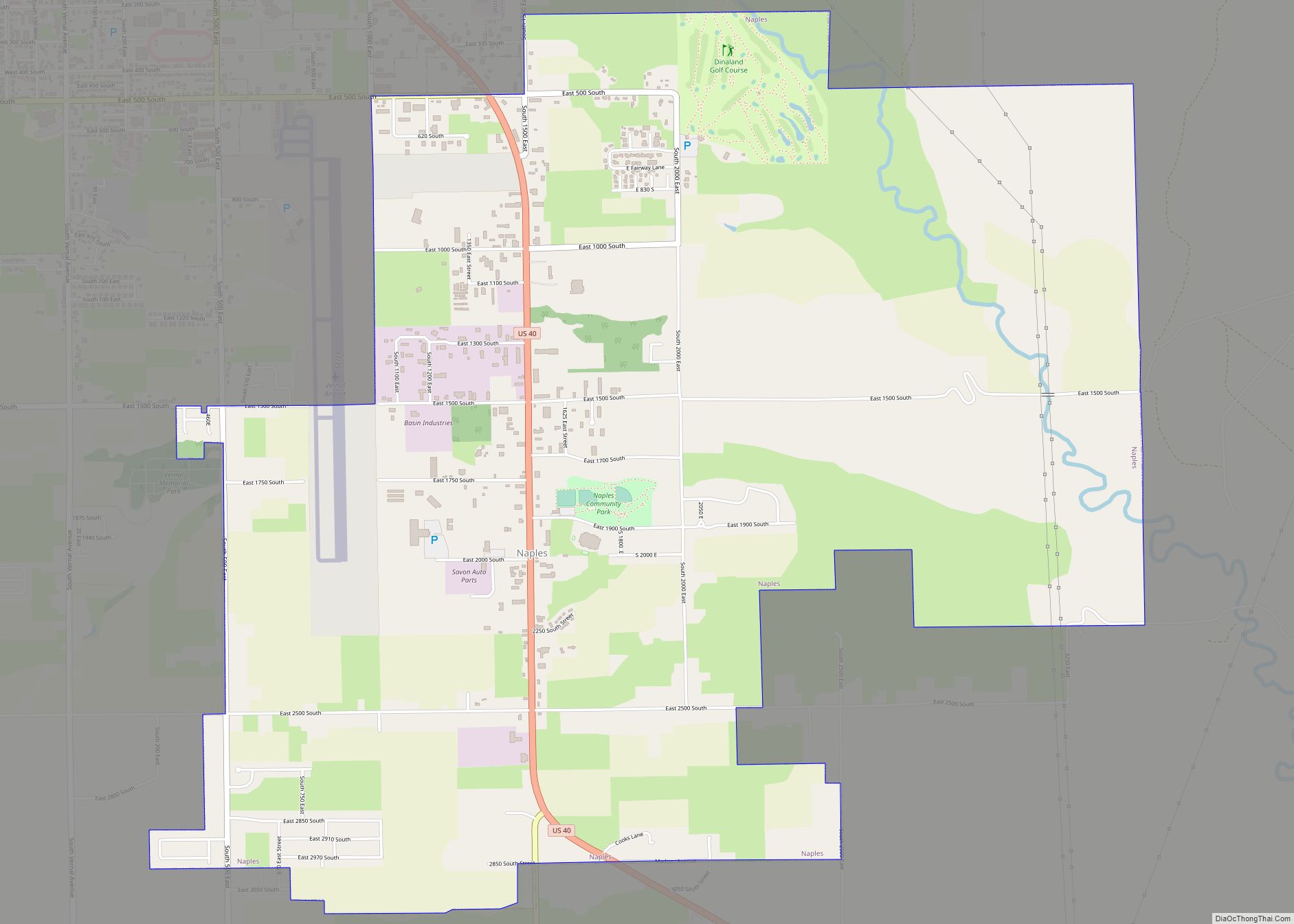
Naples is a city in Uintah County, Utah, United States. The population was 2,282 at the 2020 United States Census. Naples was listed as a town in 2000; it has since been classified as a fifth-class city by state law.
| Name: | Naples city |
|---|---|
| LSAD Code: | 25 |
| LSAD Description: | city (suffix) |
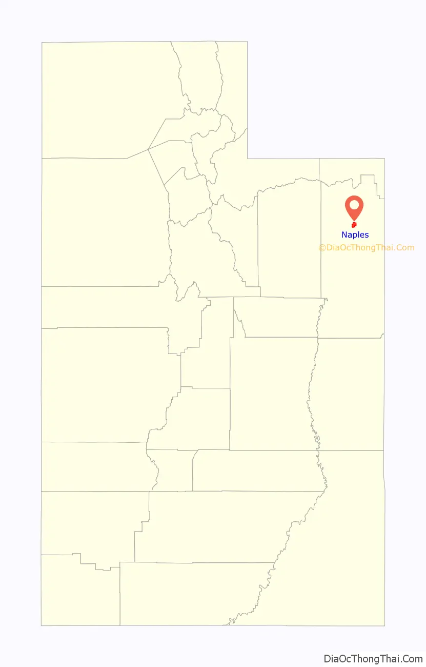
| State: | Utah |
| County: | Uintah County |
| Founded: | 1878 |
| Incorporated: | 13 May 1982 |
| Elevation: | 5,230 ft (1,590 m) |
| Total Area: | 6.60 sq mi (17.1 km²) |
| Land Area: | 6.60 sq mi (17.1 km²) |
| Water Area: | 0.00 sq mi (0.0 km²) |
| Total Population: | 2,282 |
| Population Density: | 315.41/sq mi (121.78/km²) |
| ZIP code: | 84078 (Vernal, Utah) |
| Area code: | 435 |
| FIPS code: | 4953560 |
| GNISfeature ID: | 1430636 |
| Website: | naplescityut.gov |
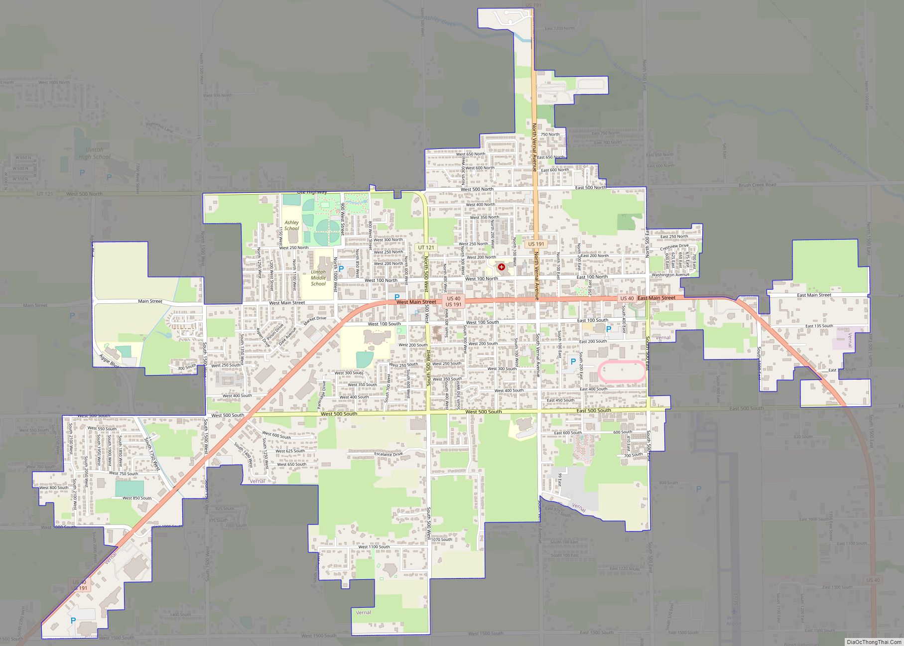
Online Interactive Map
Click on ![]() to view map in "full screen" mode.
to view map in "full screen" mode.
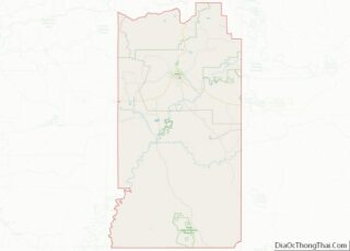
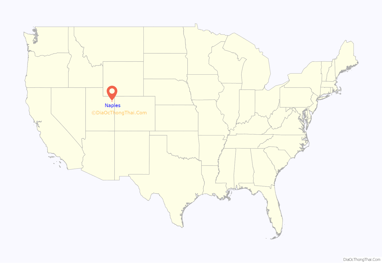
Naples location map. Where is Naples city?
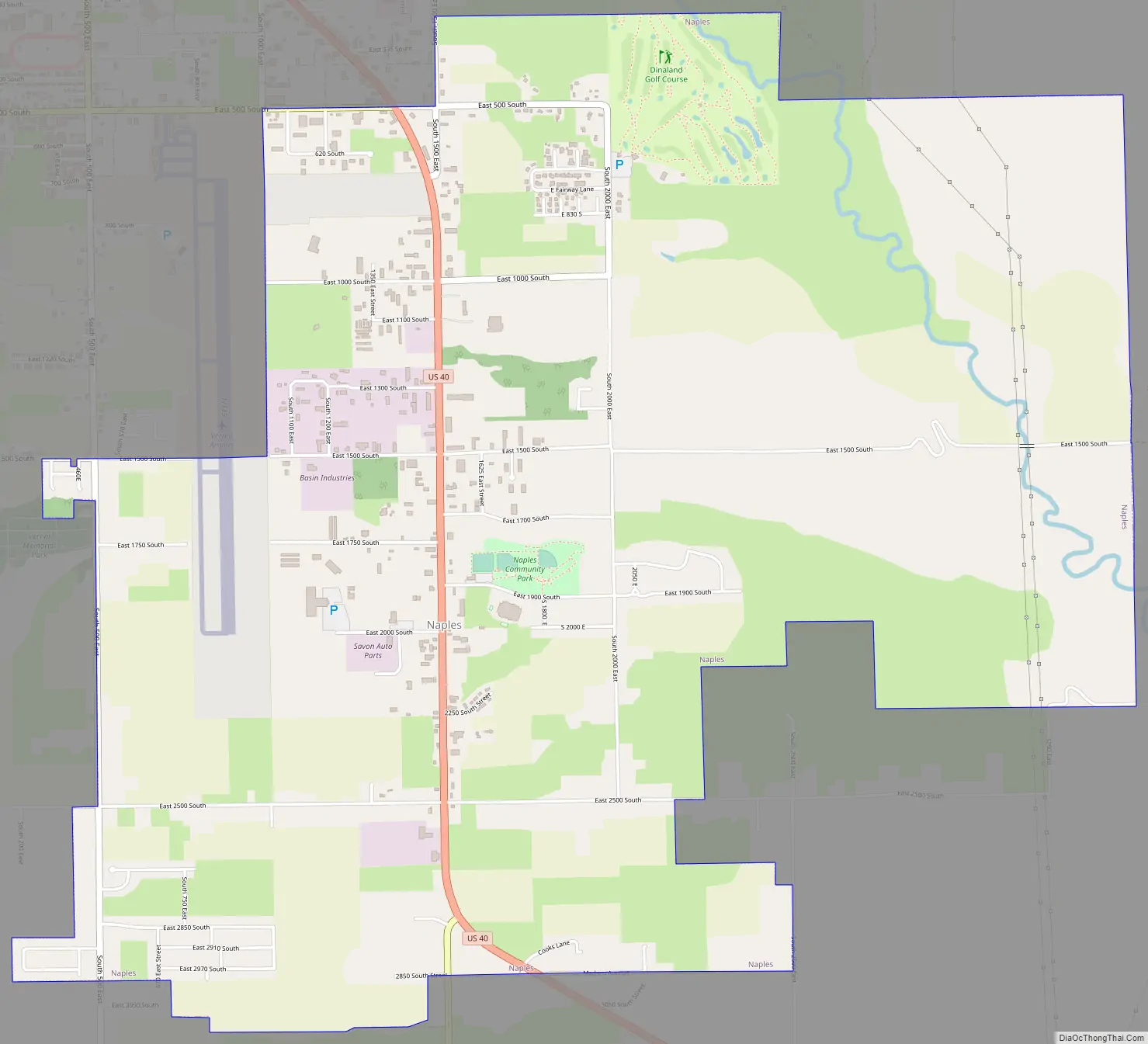
Naples Road Map
Naples city Satellite Map
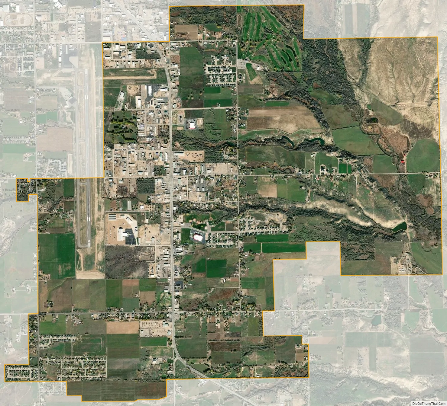
Geography
According to the United States Census Bureau, the city has a total area of 6.5 square miles (16.9 km²), all land.
See also
Map of Utah State and its subdivision: Map of other states:- Alabama
- Alaska
- Arizona
- Arkansas
- California
- Colorado
- Connecticut
- Delaware
- District of Columbia
- Florida
- Georgia
- Hawaii
- Idaho
- Illinois
- Indiana
- Iowa
- Kansas
- Kentucky
- Louisiana
- Maine
- Maryland
- Massachusetts
- Michigan
- Minnesota
- Mississippi
- Missouri
- Montana
- Nebraska
- Nevada
- New Hampshire
- New Jersey
- New Mexico
- New York
- North Carolina
- North Dakota
- Ohio
- Oklahoma
- Oregon
- Pennsylvania
- Rhode Island
- South Carolina
- South Dakota
- Tennessee
- Texas
- Utah
- Vermont
- Virginia
- Washington
- West Virginia
- Wisconsin
- Wyoming