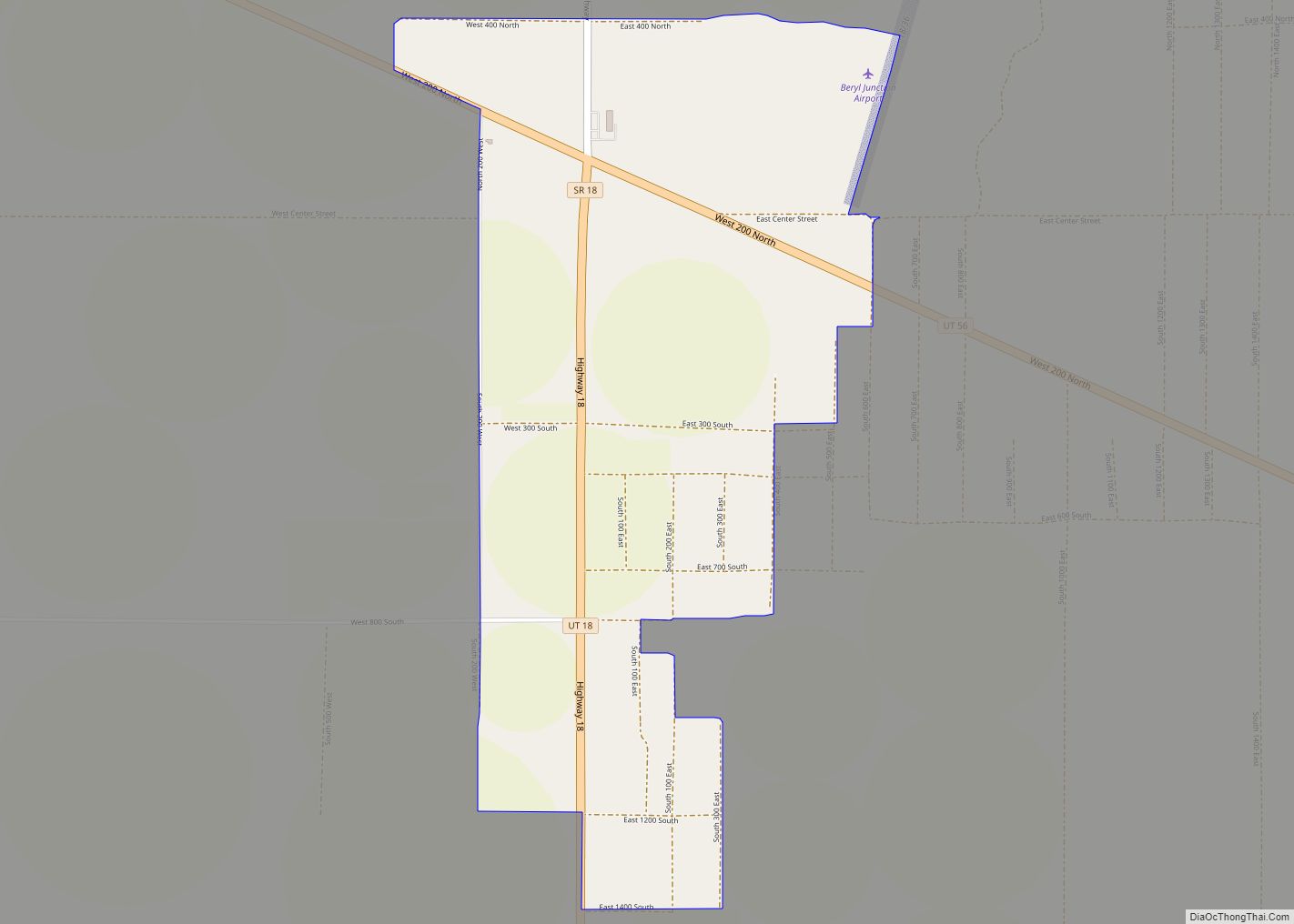
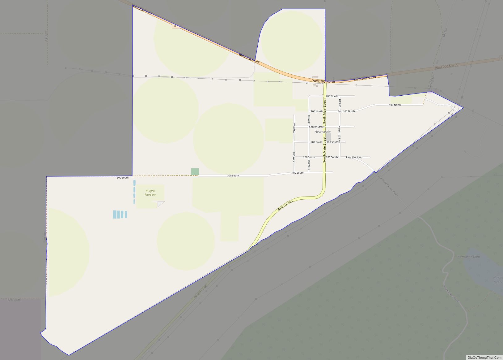
Newcastle (also New Castle) is an unincorporated community and census-designated place (CDP) in southwestern Iron County, Utah, United States. It lies along State Route 56, 30 miles (48 km) west of Cedar City. Its elevation is 5,312 feet (1,619 m) above sea level. Newcastle has a post office with the ZIP code of 84756. The population was 247 at the 2010 census. Newcastle was founded in 1910 by citizens of the more isolated Pinto.
The predominant religion is the Church of Jesus Christ of Latter-day Saints, which church’s members settled the area.
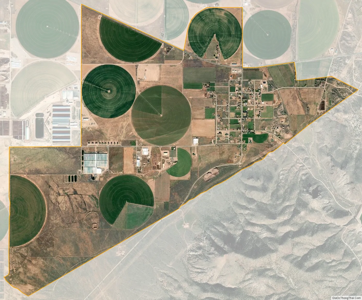
Newcastle is a small farming community which has a dairy, orchard, greenhouses producing house plants and tomatoes, and several fields. Crops produced include wheat, oats, alfalfa, corn and potatoes.
| Name: | Newcastle CDP |
|---|---|
| LSAD Code: | 57 |
| LSAD Description: | CDP (suffix) |
| State: | Utah |
| County: | Iron County |
| Elevation: | 5,276 ft (1,608 m) |
| Total Area: | 4.0 sq mi (10.3 km²) |
| Land Area: | 4.0 sq mi (10.3 km²) |
| Water Area: | 0.0 sq mi (0.0 km²) |
| Total Population: | 247 |
| Population Density: | 62/sq mi (24/km²) |
| ZIP code: | 84756 |
| Area code: | 435 |
| FIPS code: | 4954330 |
| GNISfeature ID: | 2629952 |
Online Interactive Map
Click on ![]() to view map in "full screen" mode.
to view map in "full screen" mode.
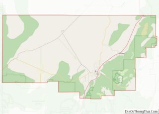
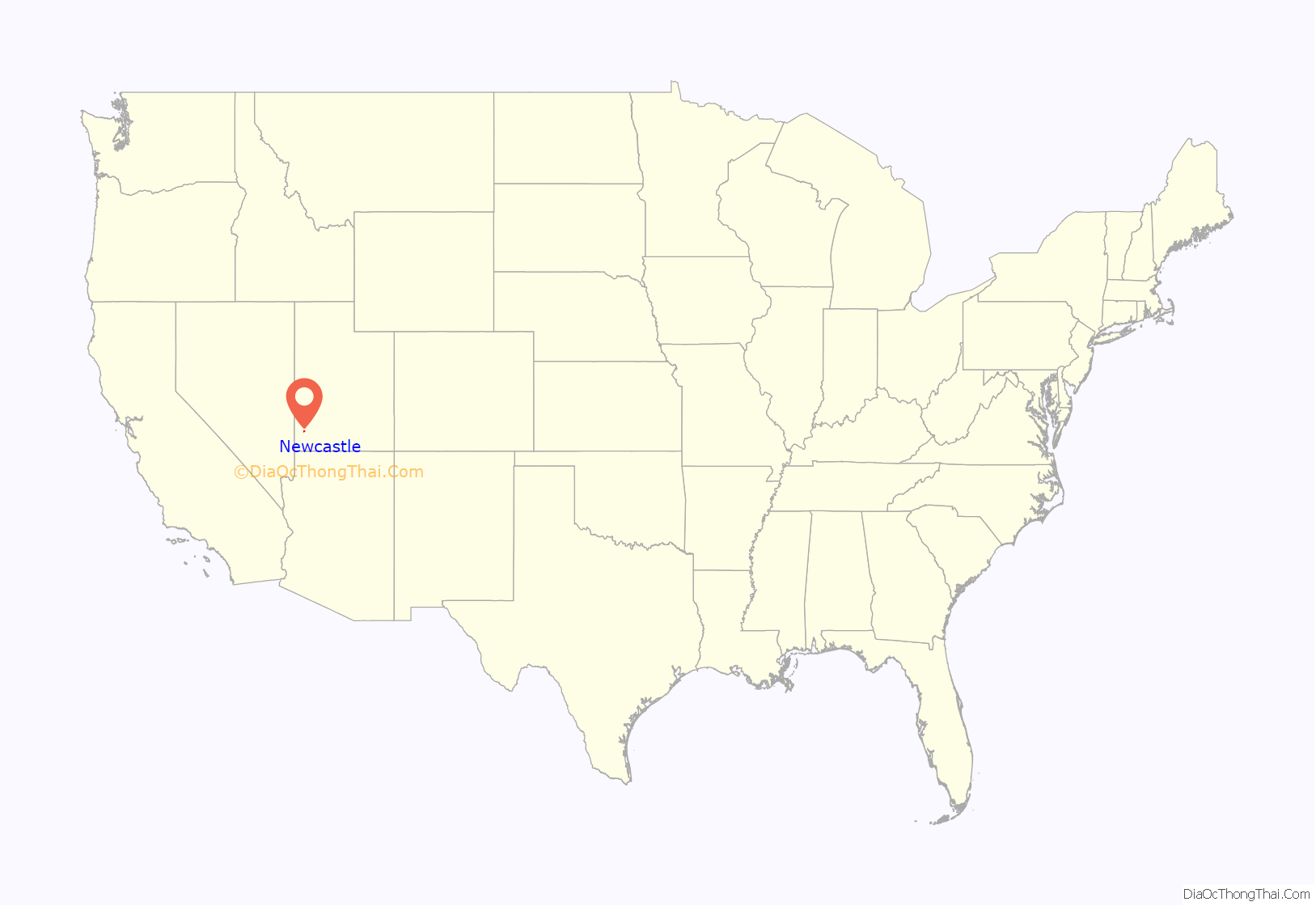
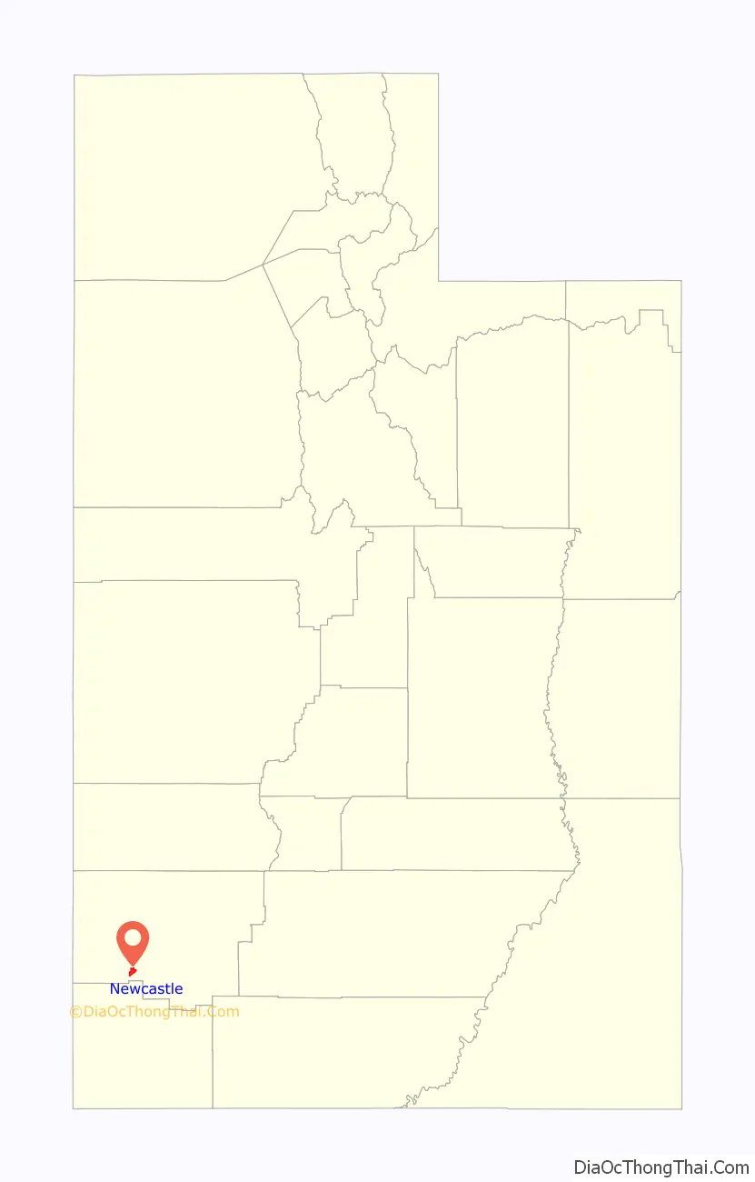
Newcastle location map. Where is Newcastle CDP?
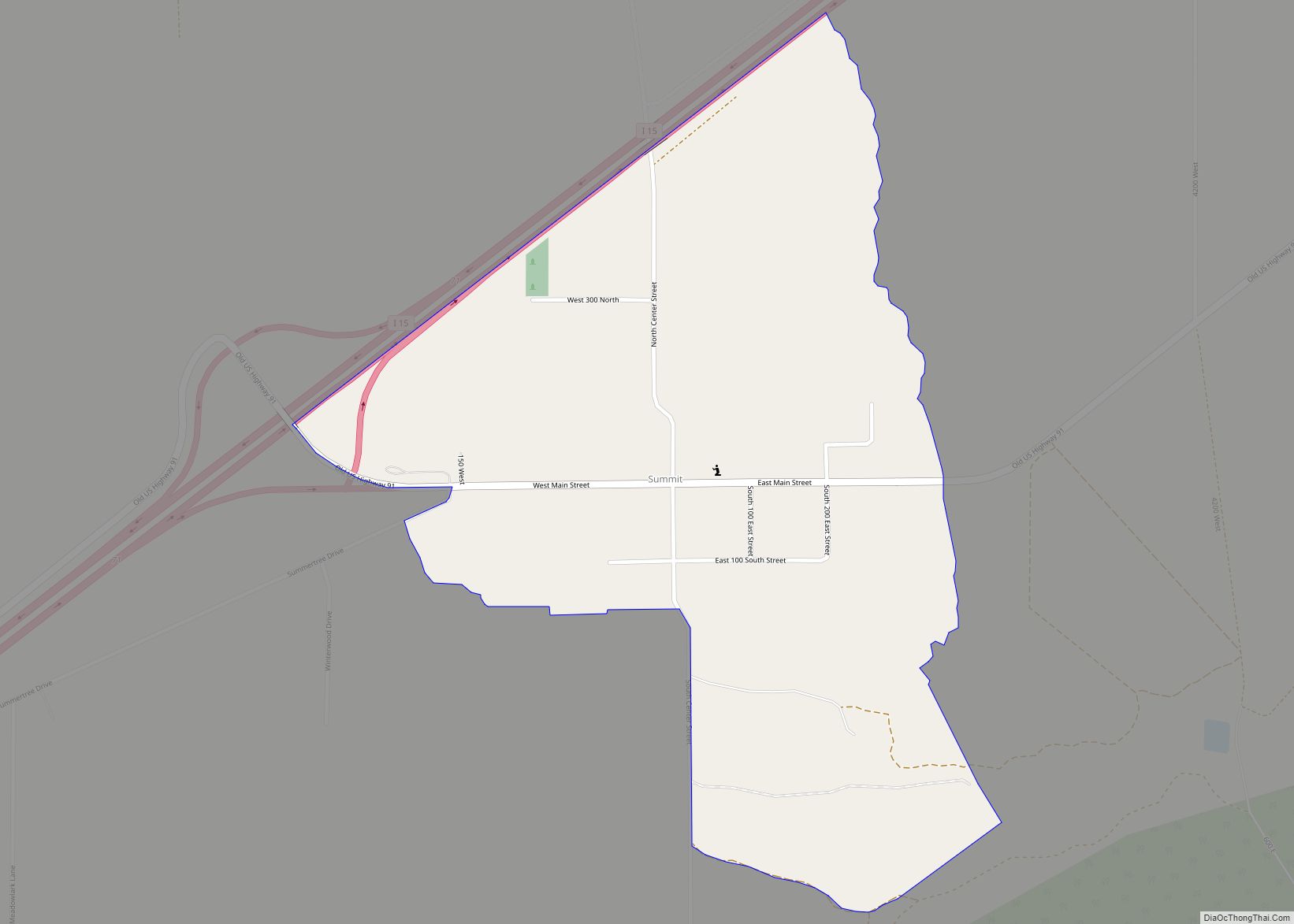
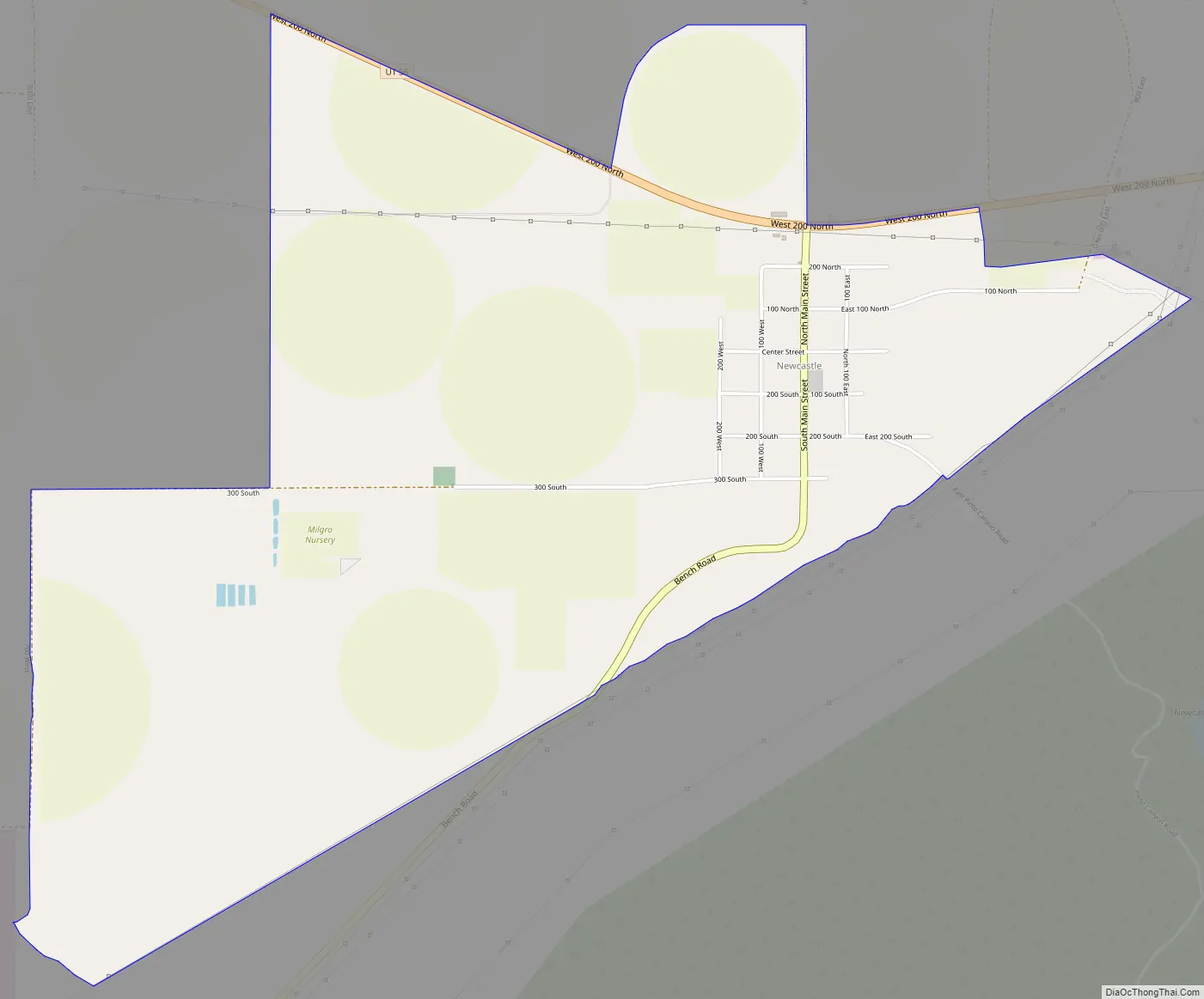
Newcastle Road Map
Newcastle city Satellite Map
See also
Map of Utah State and its subdivision: Map of other states:- Alabama
- Alaska
- Arizona
- Arkansas
- California
- Colorado
- Connecticut
- Delaware
- District of Columbia
- Florida
- Georgia
- Hawaii
- Idaho
- Illinois
- Indiana
- Iowa
- Kansas
- Kentucky
- Louisiana
- Maine
- Maryland
- Massachusetts
- Michigan
- Minnesota
- Mississippi
- Missouri
- Montana
- Nebraska
- Nevada
- New Hampshire
- New Jersey
- New Mexico
- New York
- North Carolina
- North Dakota
- Ohio
- Oklahoma
- Oregon
- Pennsylvania
- Rhode Island
- South Carolina
- South Dakota
- Tennessee
- Texas
- Utah
- Vermont
- Virginia
- Washington
- West Virginia
- Wisconsin
- Wyoming