North Ogden is a city in Weber County, Utah, United States. The population was 20,916 at the 2020 census. North Ogden is on SR-235, three miles north of Ogden. It is a suburb of that city and is part of the Ogden-Clearfield, Utah Metropolitan Statistical Area.
| Name: | North Ogden city |
|---|---|
| LSAD Code: | 25 |
| LSAD Description: | city (suffix) |
| State: | Utah |
| County: | Weber County |
| Incorporated: | 1934 |
| Elevation: | 4,501 ft (1,372 m) |
| Total Area: | 7.51 sq mi (19.44 km²) |
| Land Area: | 7.50 sq mi (19.44 km²) |
| Water Area: | 0.00 sq mi (0.01 km²) |
| Total Population: | 20,916 |
| Population Density: | 2,788.8/sq mi (1,075.9/km²) |
| ZIP code: | 84404, 84414 |
| Area code: | 385, 801 |
| FIPS code: | 4955100 |
| GNISfeature ID: | 1443962 |
| Website: | www.northogdencity.com |
Online Interactive Map
Click on ![]() to view map in "full screen" mode.
to view map in "full screen" mode.
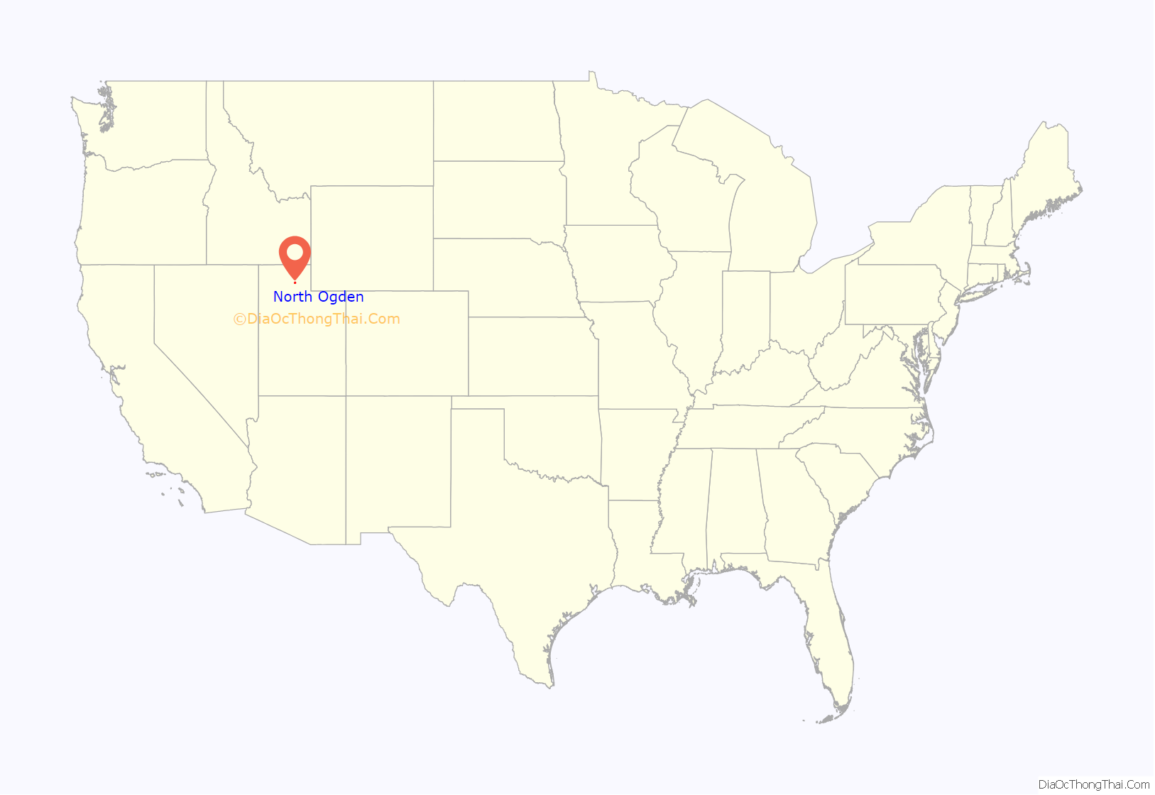
North Ogden location map. Where is North Ogden city?
History
Among the first people to dwell in the North Ogden area were the Shoshone. The Shoshoni name for the area is “Opecarry,” which translates to “stick in the head.”
North Ogden was settled by European-American settlers during the winter of 1850 by two sets of cattle ranchers from Ogden. The Campbells and the Riddles had been warned by Brigham Young not to venture from the fort in Ogden due to the troubles with the local Shoshone. After a few months wintering their cattle, they were forced to return to Ogden in fear of Shoshone reprisals. The following year, after the trouble with the Shoshone had been partially settled, Jonathan Campbell returned with a number of other families to permanently settle the spot.
One important early industry in the mid to late 19th century was the sugar beet industry, and a processing and canning plant was built in the town for this. The owner of the canning plant during its operation was David Ephriam Randall. North Ogden also built a spur from the Union Pacific Station in Ogden, called the “Dummy Line”. Large fruit orchards were developed and their harvest became an economic staple for the community, with the establishment of the North Ogden Fruit Exchange in 1924. This became the region’s first fruit cooperative, using the railroad to sell fruit on the interstate market.
In the 1930s, increasing demand for water led the city to officially incorporate on February 1, 1934. David Gilbert Randall was elected the first mayor. He served in this position for ten years. That same decade saw the creation of the Cherry Days celebration on July 4. As North Ogden grew after World War II, it became a primary suburb for Ogden and other larger cities. Its industries flagged, and most agricultural areas began to be parcelled out for homes.
On November 3, 2018, after taking special leave from his mayoral position to serve in Afghanistan with the National Guard, Brent R. Taylor was shot and killed on duty by an Afghan commando. Every year a large American flag is suspended in the air above Coldwater Canyon to honor him and the Veterans of the United States Armed Forces.
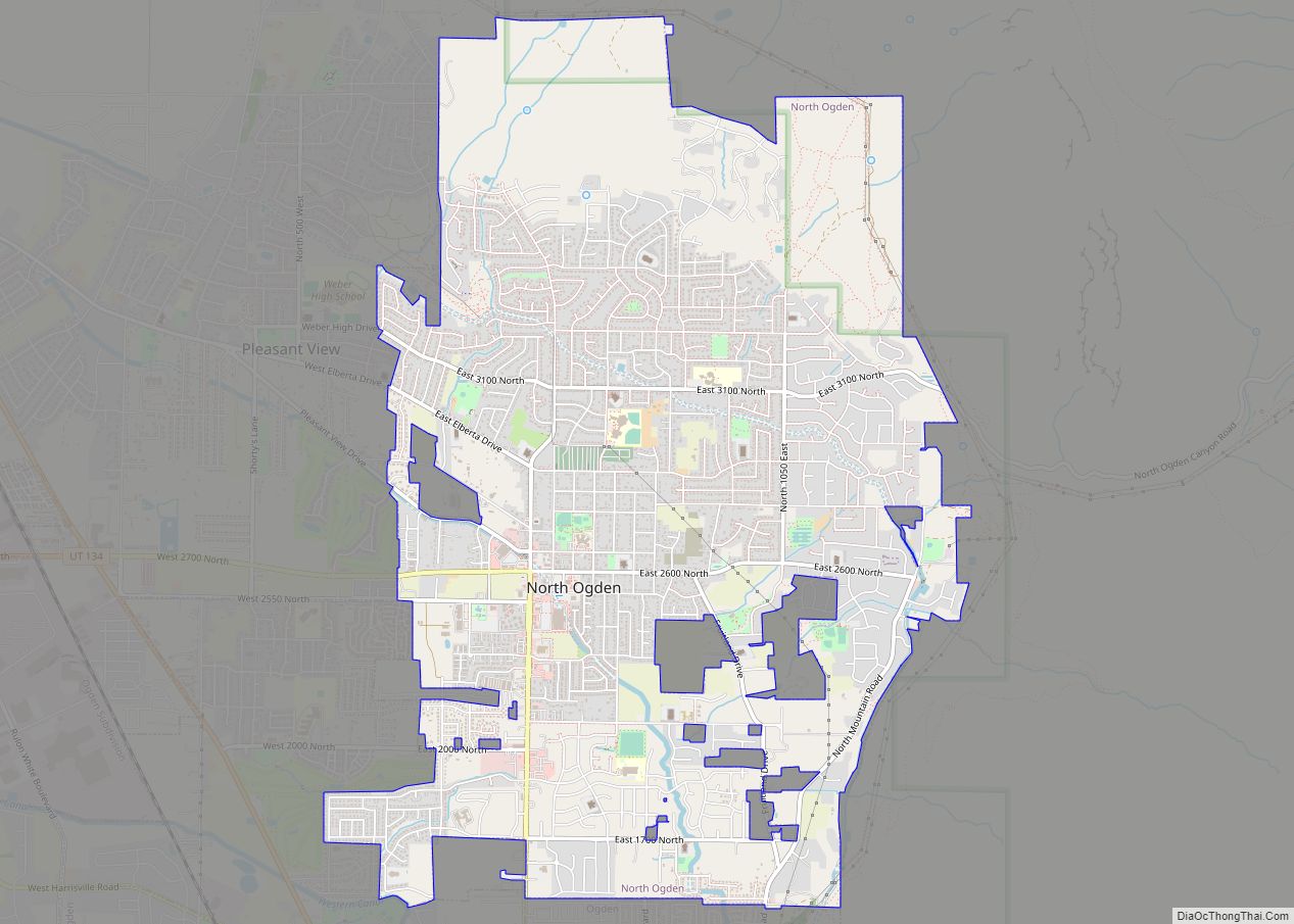
North Ogden Road Map
North Ogden city Satellite Map
Geography
According to the United States Census Bureau, the city has a total area of 6.5 square miles (16.8 km), all land.
North Ogden is situated at the base of Ben Lomond Peak, a prominent mountain on the Wasatch Front, visible from the Salt Lake Airport.
See also
Map of Utah State and its subdivision: Map of other states:- Alabama
- Alaska
- Arizona
- Arkansas
- California
- Colorado
- Connecticut
- Delaware
- District of Columbia
- Florida
- Georgia
- Hawaii
- Idaho
- Illinois
- Indiana
- Iowa
- Kansas
- Kentucky
- Louisiana
- Maine
- Maryland
- Massachusetts
- Michigan
- Minnesota
- Mississippi
- Missouri
- Montana
- Nebraska
- Nevada
- New Hampshire
- New Jersey
- New Mexico
- New York
- North Carolina
- North Dakota
- Ohio
- Oklahoma
- Oregon
- Pennsylvania
- Rhode Island
- South Carolina
- South Dakota
- Tennessee
- Texas
- Utah
- Vermont
- Virginia
- Washington
- West Virginia
- Wisconsin
- Wyoming
