Oakley is a city in Summit County, Utah, United States. It is part of the Salt Lake City, Utah Metropolitan Statistical Area. The population was 1,470 at the 2010 census.
| Name: | Oakley city |
|---|---|
| LSAD Code: | 25 |
| LSAD Description: | city (suffix) |
| State: | Utah |
| County: | Summit County |
| Incorporated: | 1933 |
| Elevation: | 6,434 ft (1,961 m) |
| Total Area: | 7.09 sq mi (18.36 km²) |
| Land Area: | 7.08 sq mi (18.35 km²) |
| Water Area: | 0.00 sq mi (0.01 km²) |
| Total Population: | 1,470 |
| Population Density: | 245.66/sq mi (94.85/km²) |
| ZIP code: | 84055 |
| Area code: | 435 |
| FIPS code: | 4955650 |
| GNISfeature ID: | 1444043 |
| Website: | www.oakleycity.com |
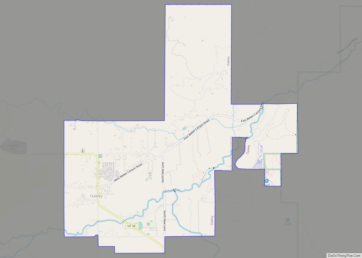
Online Interactive Map
Click on ![]() to view map in "full screen" mode.
to view map in "full screen" mode.
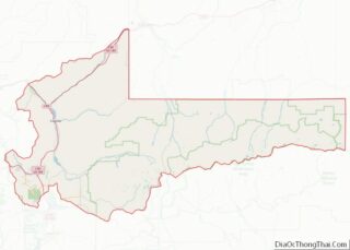
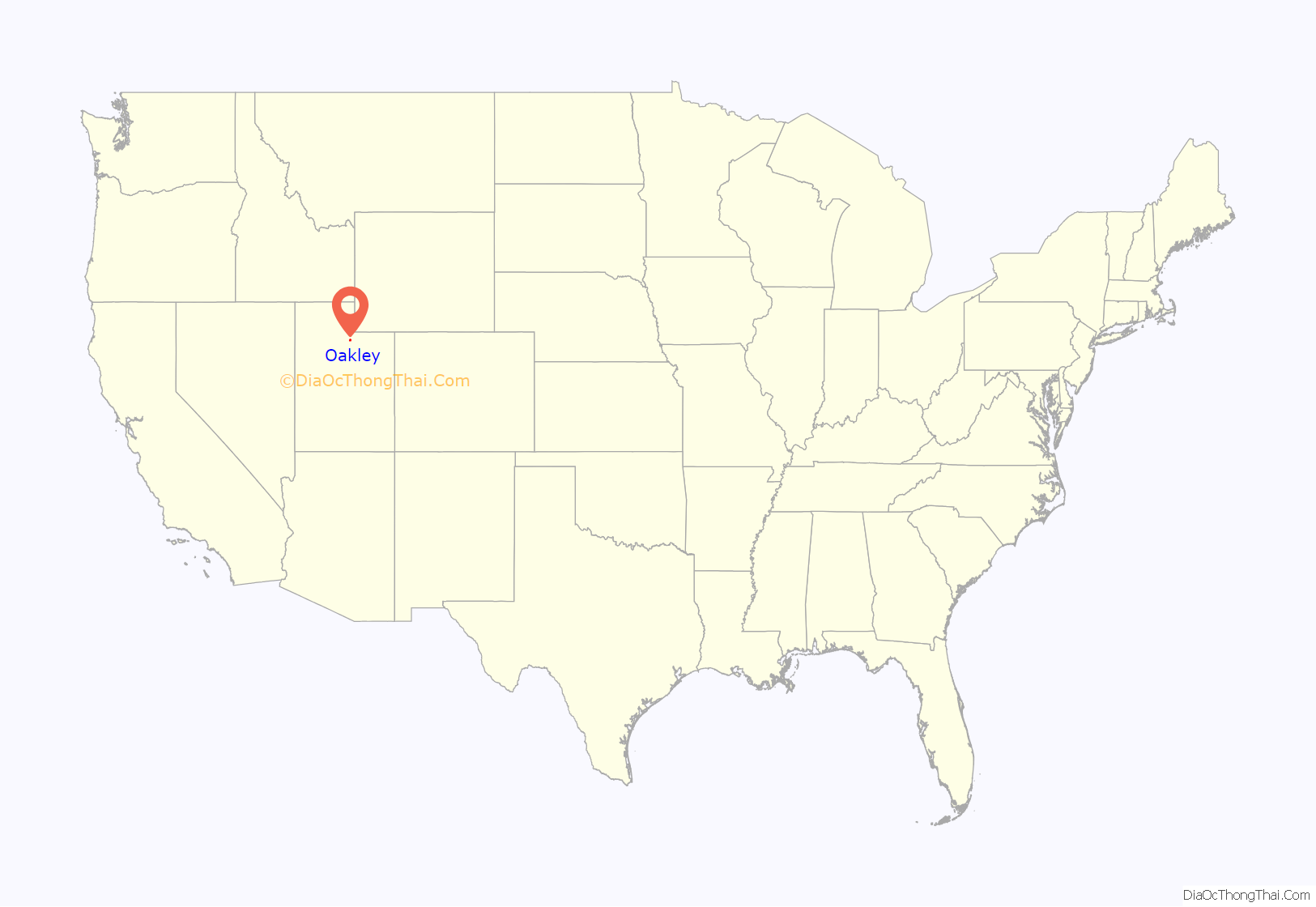
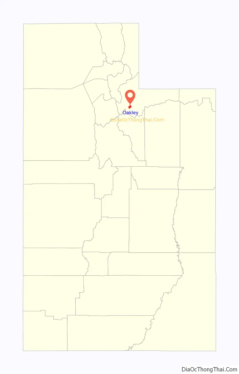
Oakley location map. Where is Oakley city?
History
The valley was inhabited by Ute Indians before the coming of Mormon pioneers. A historical monument erected in 1939 across the street from the current town hall by the Daughters of the Utah Pioneers, honors the habitation of the Utes. “INDIAN TRAIL This valley, settled by Thomas Rhoades in 1858, was a summer paradise for Indians who came to hunt, fish and gather wild fruit and sego bulbs. The Weber River Indian Trail skirted the east foothills to Oakley Canyon, crossed the river at the Old Kamas Ford, 3 1/2 miles east of here, running thence to Henry’s Fork, and to Brush Creek, in the eastern Uinta Mountains. This trail was used by Indians, Scouts and Pioneers, and is marked in part by roads today.”
A Mormon pioneer, Parley P. Pratt, was sent to this valley from Salt Lake City by Brigham Young in 1850 to check on the possibility of establishing settlements along the Weber River and the nearby Provo River. His report was, “. . . a good valley, abundant grass and plenty of water”.
The first white man to winter there, in 1853, was Thomas Rhodes. An explorer, trapper, prospector, part-time farmer, and close friend of Brigham Young, he was occasionally called from his California prospecting by Brigham Young when there was a need for money for the church. Rhodes would disappear for a week or so into the Uinta Mountains and return with a supply of gold.
The first settlers in Oakley were William Stevens and wife, Emma Crowden Stevens; they moved there in 1868. Soon to follow were relatives and friends, among them the Fraziers, Johnsons, Hortins, Richards, Wildes and Gibbons, to name a few; all these names are still prominent in the town.
Oakley’s original name was “Oak Creek”, derived from the name of a creek that ran just east of the present town site and that was thickly overgrown with oak trees. The town changed its name to “Oakley” in late 1886 or early 1887; the new name was chosen from many names submitted by the settlers in a contest.
The current town hall was built as a LDS church in 1903, followed by a schoolhouse in 1904.
Incorporated in 1933 on land originally purchased from the Union Pacific Company by the early settlers in the land sale of the 1880s, Oakley has maintained its small town charm as primarily an agricultural community. At one time, it was a large producer of dairy products. More recently, it has focused on cattle- and horse-feeding, “haying”, and still some dairy production. In addition, it is a base for recreational activities, which abound—hiking, fishing, horseback riding, camping, hunting, snowmobiling, and cross-country skiing—all within a very short distance from town.
Memories of early residents can give a real feeling for the town in its early days of the 20th century. Charles Reed Seymour, son of LDS Bishop John Heber Seymour, wrote the following:
Lifelong resident Ken Woolstenhulme bought the small local grocery store then named The Merc in 1971 and ran it as Ken’s Kash until selling it to Larry Devey in 2008. Then and now, the store is a gathering place for locals looking for the last ingredient for dinner. Those who grew up locally remember it fondly as one of the last places to offer penny candy. For a time, the store served as the local post office, but increased demand from summer homes up Weber Canyon led the federal government in 1985 to build the present post-office building across the street from the store.
Ken Woolstenhulme has been involved in all aspects of the town’s life, including serving as postmaster, county commissioner, school board member and town mayor at various times in his life.
In 1998, Mayor Doug Evans and the town of Oakley discovered an underground aquifer containing water that had not seen the surface in at least 18,000 years, according to carbon testing. Found nearly 1900 feet below the surface in a layer of Mississippian limestone, the water proved among the purest ever tested, free of tritium and any other contamination from the nuclear age. Requiring little treatment, the water is free of pesticides and herbicides and the town now uses this water from the Humbug Well for its municipal water supply. Local businessmen have also bought the rights to bottle the water and sell it under different labels.
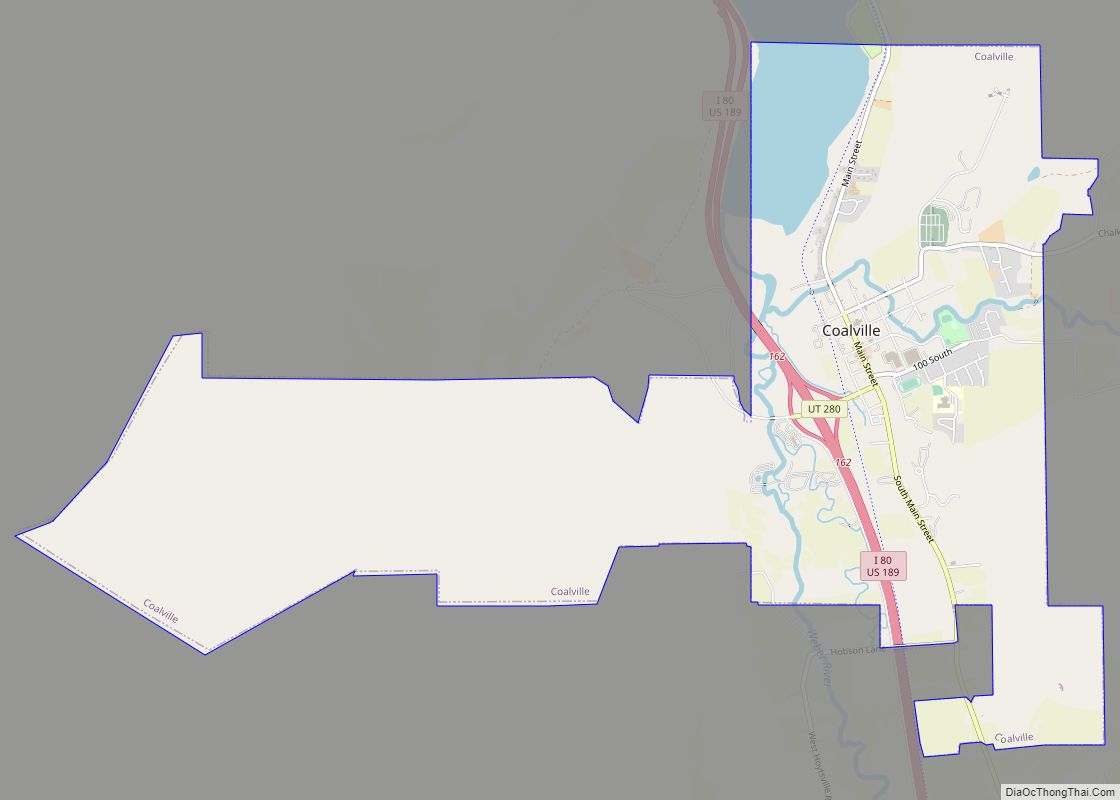
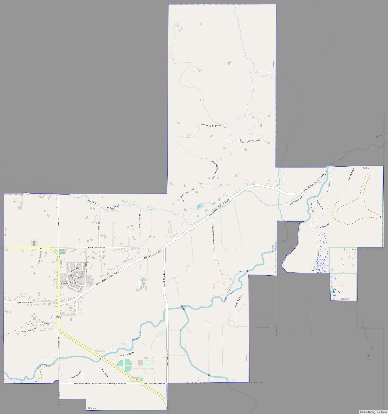
Oakley Road Map
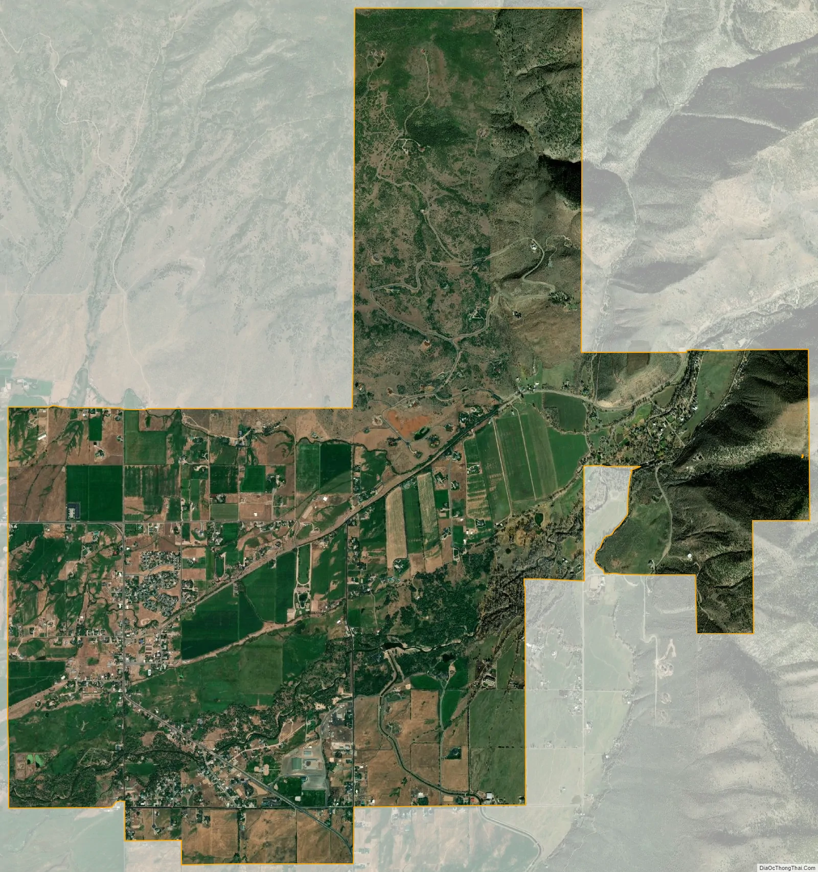
Oakley city Satellite Map
Geography
Oakley is located 45 miles (72 km) east of Salt Lake City on SR-32, in the Kamas Valley. With an elevation of 6,500 feet (2,000 m), it is a gateway to the Uinta Mountains. Scenic route Weber Canyon Road follows the Weber River to its headwaters; it also follows the Smith and Morehouse Creek to its reservoir in its own scenic canyon 15 miles (24 km) from Oakley. The towns of Marion, Kamas, and Peoa are its neighbors, and the Weber River flows nearby.
According to the United States Census Bureau, the city has a total area of 6.3 square miles (16 km), all land.
Climate
This climatic region is typified by large seasonal temperature differences, with warm to hot (and often humid) summers and cold (sometimes severely cold) winters. According to the Köppen Climate Classification system, Oakley has a humid continental climate, abbreviated “Dfb” on climate maps.
See also
Map of Utah State and its subdivision: Map of other states:- Alabama
- Alaska
- Arizona
- Arkansas
- California
- Colorado
- Connecticut
- Delaware
- District of Columbia
- Florida
- Georgia
- Hawaii
- Idaho
- Illinois
- Indiana
- Iowa
- Kansas
- Kentucky
- Louisiana
- Maine
- Maryland
- Massachusetts
- Michigan
- Minnesota
- Mississippi
- Missouri
- Montana
- Nebraska
- Nevada
- New Hampshire
- New Jersey
- New Mexico
- New York
- North Carolina
- North Dakota
- Ohio
- Oklahoma
- Oregon
- Pennsylvania
- Rhode Island
- South Carolina
- South Dakota
- Tennessee
- Texas
- Utah
- Vermont
- Virginia
- Washington
- West Virginia
- Wisconsin
- Wyoming