Pleasant View is a city on the northern edge of Weber County, Utah, United States. The population was 7,979 at the 2010 census. It is part of the Ogden–Clearfield, Utah Metropolitan Statistical Area. It is a suburban community of Ogden.
| Name: | Pleasant View city |
|---|---|
| LSAD Code: | 25 |
| LSAD Description: | city (suffix) |
| State: | Utah |
| County: | Weber County |
| Incorporated: | August 27, 1945 |
| Elevation: | 4,400 ft (1,341 m) |
| Total Area: | 6.98 sq mi (18.07 km²) |
| Land Area: | 6.98 sq mi (18.07 km²) |
| Water Area: | 0.00 sq mi (0.00 km²) |
| Total Population: | 7,979 |
| Population Density: | 1,553.53/sq mi (599.79/km²) |
| ZIP code: | 84404, 84414 |
| Area code: | 385, 801 |
| FIPS code: | 4961150 |
| GNISfeature ID: | 1444486 |
| Website: | www.pleasantviewcity.com |
Online Interactive Map
Click on ![]() to view map in "full screen" mode.
to view map in "full screen" mode.
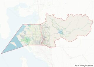
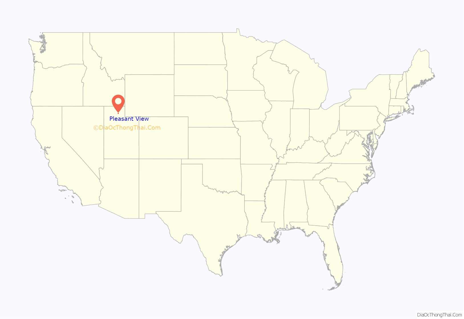
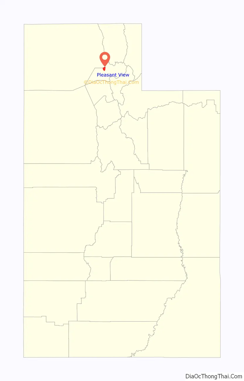
Pleasant View location map. Where is Pleasant View city?
History
Considered part of North Ogden for its first 30 years, Pleasant View was known during its early days by several names, including West District, Hot Springs District, Stringtown, or simply Out West. The city was officially named Pleasant View in 1882 by Wilford Cragun, one of the first white children born in the area. Mary Lake, daughter of William Bailey Lake and Sarah Jane Marler was born in North Ogden, 15 December 1851. Other early settlers were Thomas Dunn, John Mower, and Simeon Cragun families.
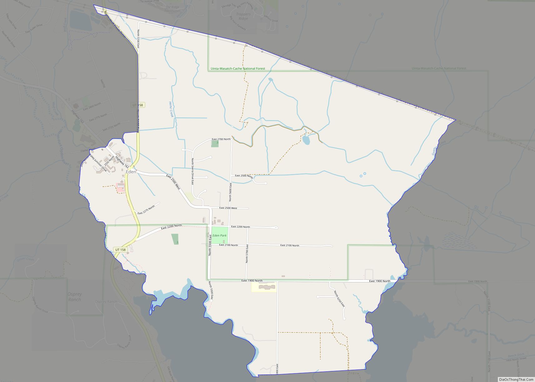
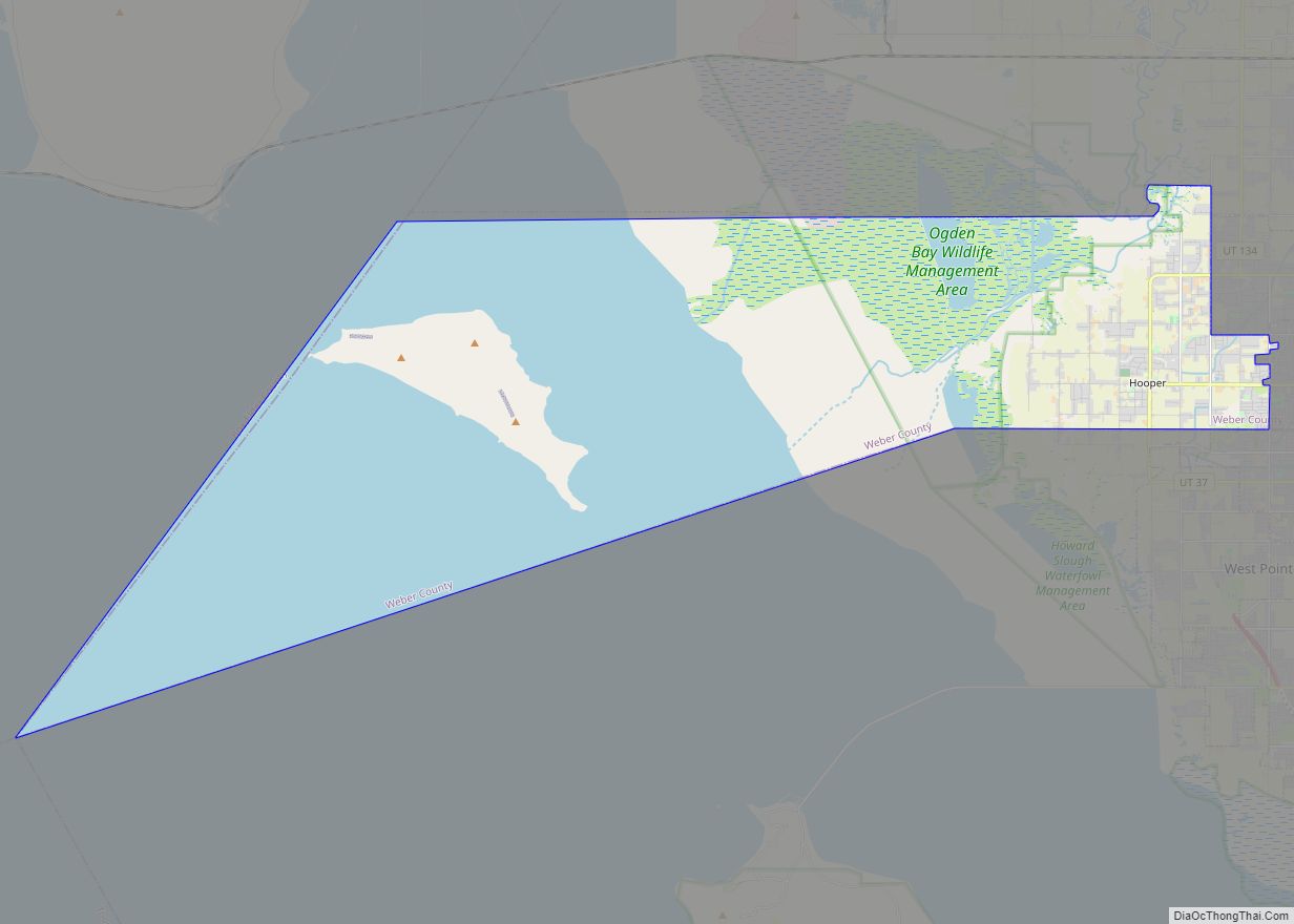
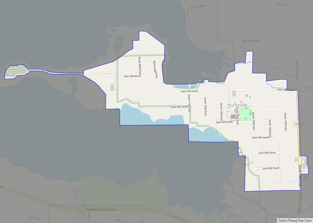
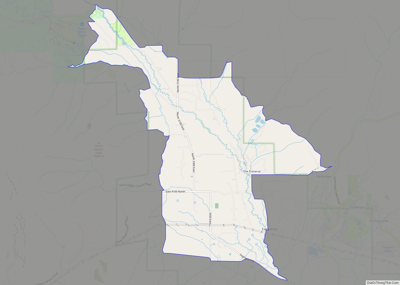
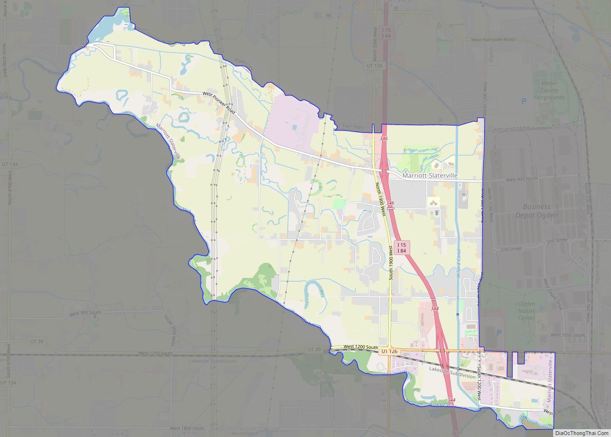
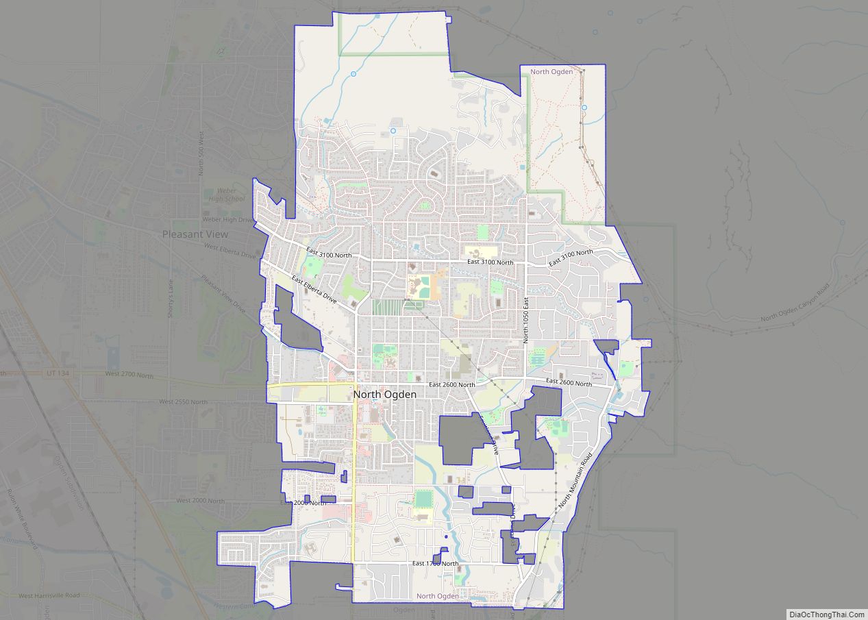
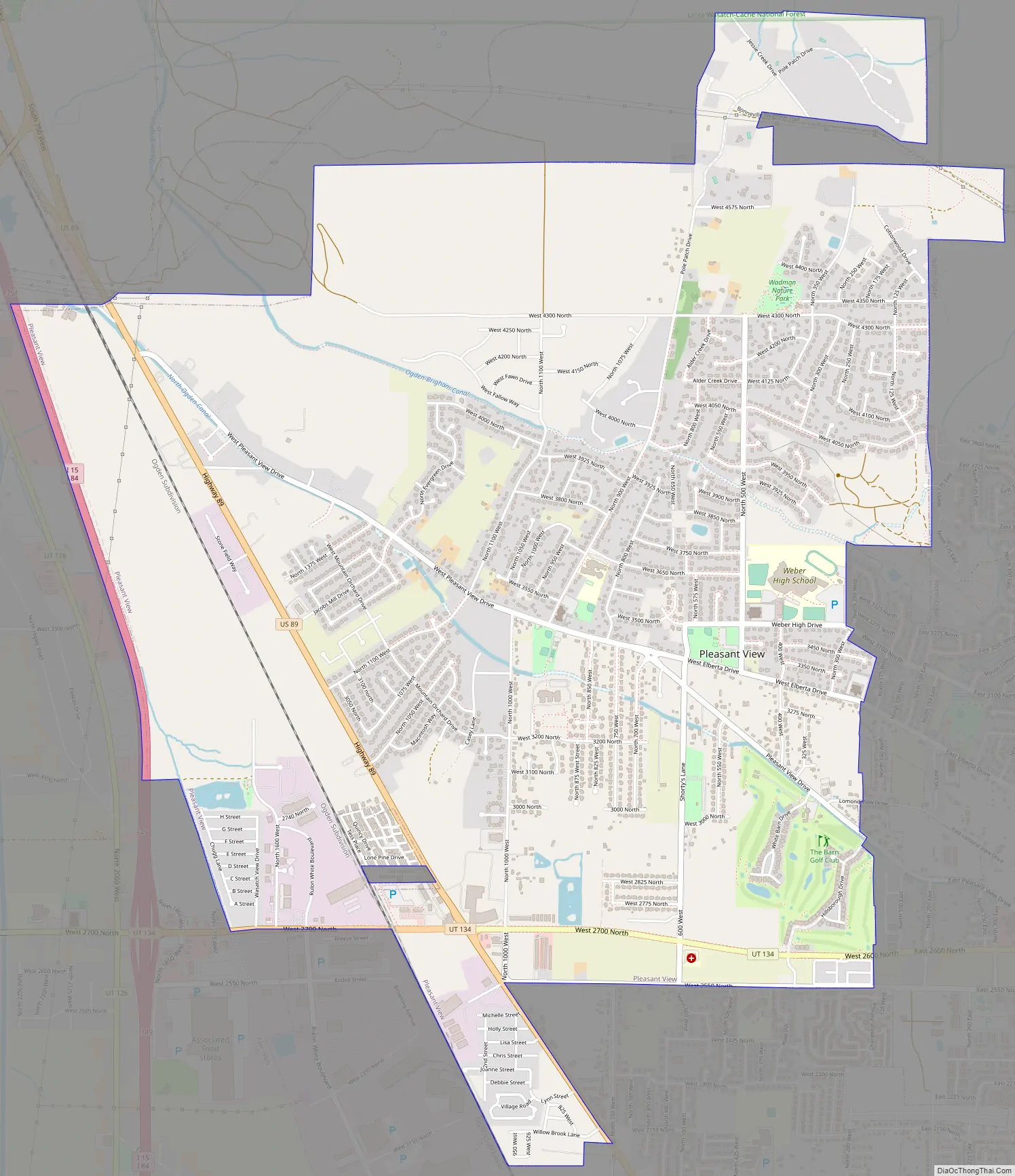
Pleasant View Road Map
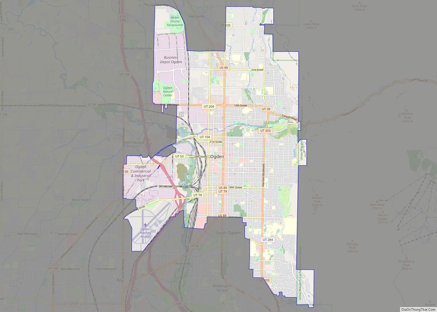
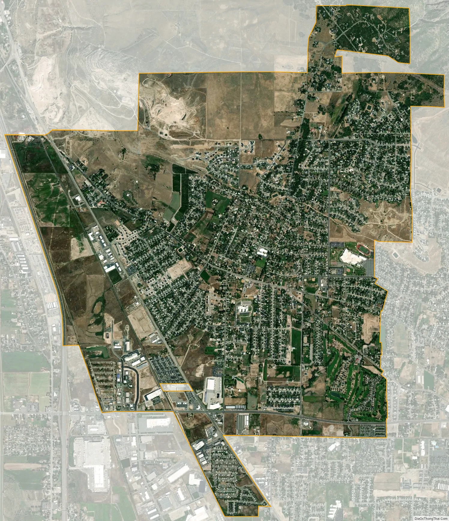
Pleasant View city Satellite Map
Geography
According to the United States Census Bureau, the city has a total area of 6.7 square miles (17 km), all land.
See also
Map of Utah State and its subdivision: Map of other states:- Alabama
- Alaska
- Arizona
- Arkansas
- California
- Colorado
- Connecticut
- Delaware
- District of Columbia
- Florida
- Georgia
- Hawaii
- Idaho
- Illinois
- Indiana
- Iowa
- Kansas
- Kentucky
- Louisiana
- Maine
- Maryland
- Massachusetts
- Michigan
- Minnesota
- Mississippi
- Missouri
- Montana
- Nebraska
- Nevada
- New Hampshire
- New Jersey
- New Mexico
- New York
- North Carolina
- North Dakota
- Ohio
- Oklahoma
- Oregon
- Pennsylvania
- Rhode Island
- South Carolina
- South Dakota
- Tennessee
- Texas
- Utah
- Vermont
- Virginia
- Washington
- West Virginia
- Wisconsin
- Wyoming