Riverdale is a city in southern Weber County, Utah, United States. The population was 8,426 at the 2010 census. It is part of the Ogden–Clearfield, Utah Metropolitan Statistical Area.
| Name: | Riverdale city |
|---|---|
| LSAD Code: | 25 |
| LSAD Description: | city (suffix) |
| State: | Utah |
| County: | Weber County |
| Incorporated: | March 4, 1946 |
| Elevation: | 4,370 ft (1,332 m) |
| Total Area: | 4.63 sq mi (11.99 km²) |
| Land Area: | 4.63 sq mi (11.99 km²) |
| Water Area: | 0.00 sq mi (0.00 km²) |
| Total Population: | 8,426 |
| Population Density: | 1,908.44/sq mi (736.84/km²) |
| ZIP code: | 84405 |
| Area code: | 385, 801 |
| FIPS code: | 4964010 |
| GNISfeature ID: | 1444992 |
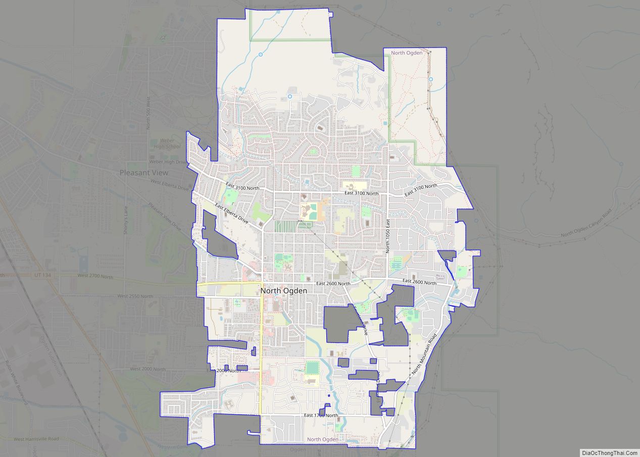
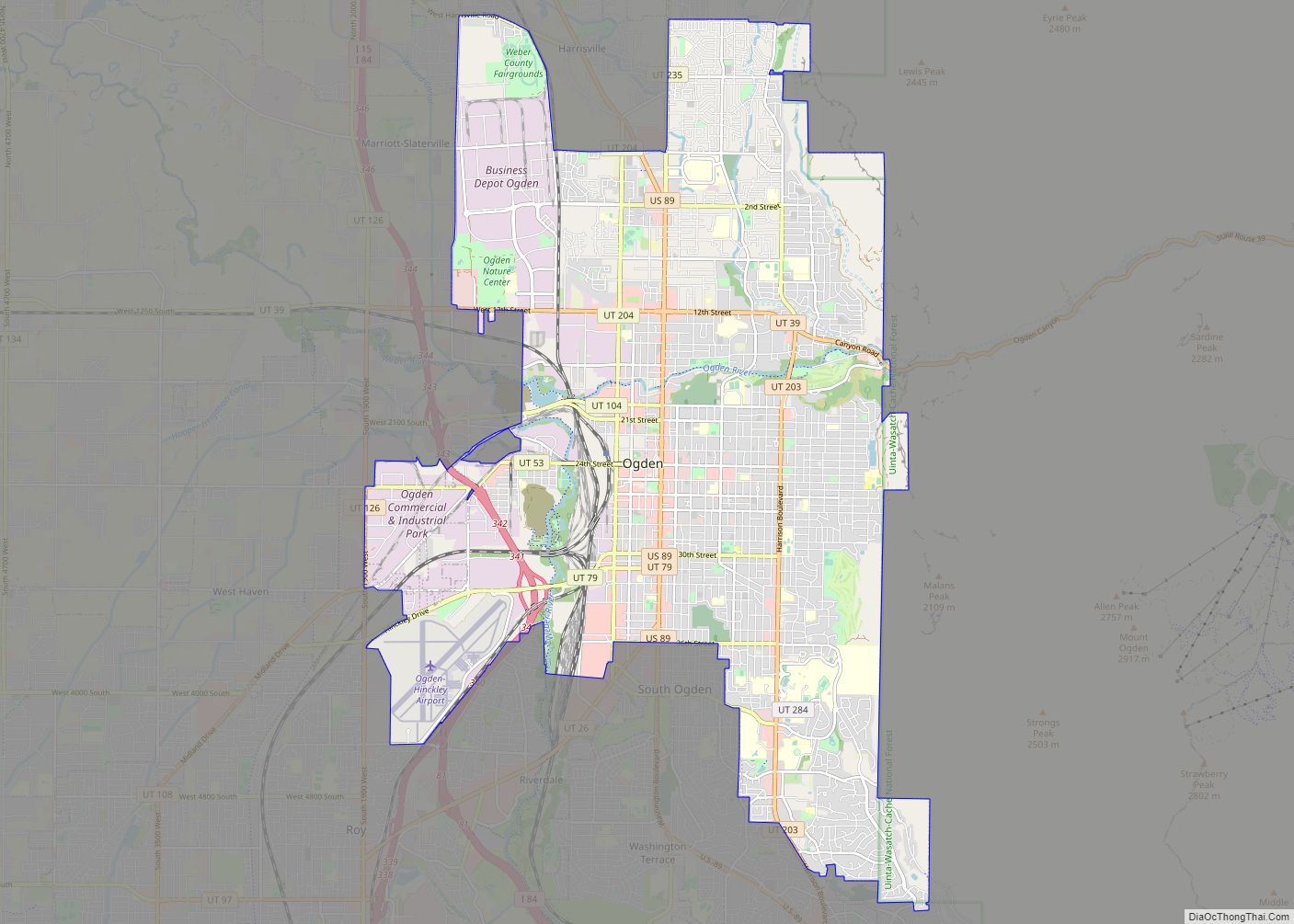
Online Interactive Map
Click on ![]() to view map in "full screen" mode.
to view map in "full screen" mode.
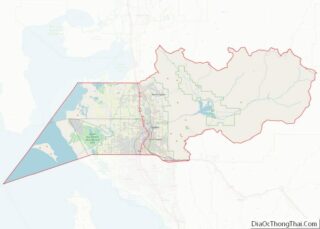
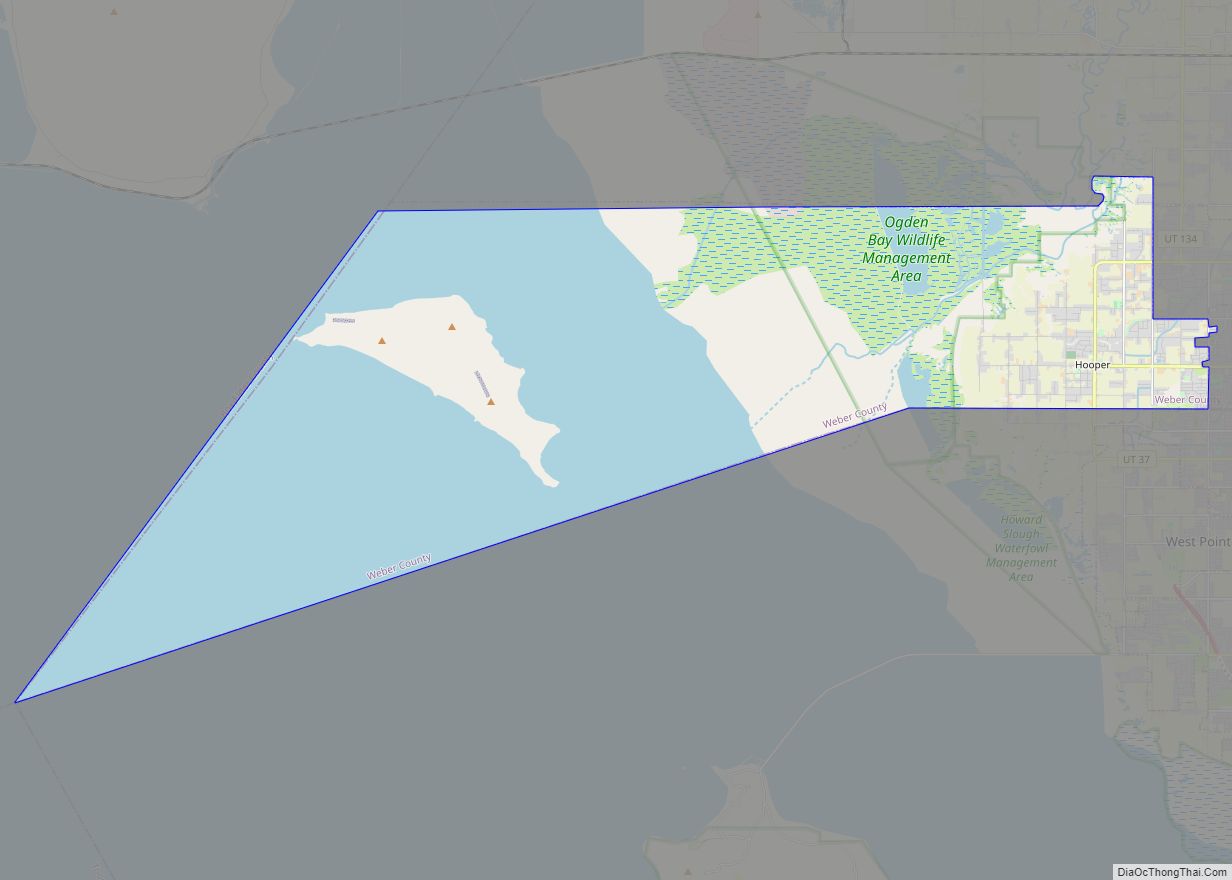
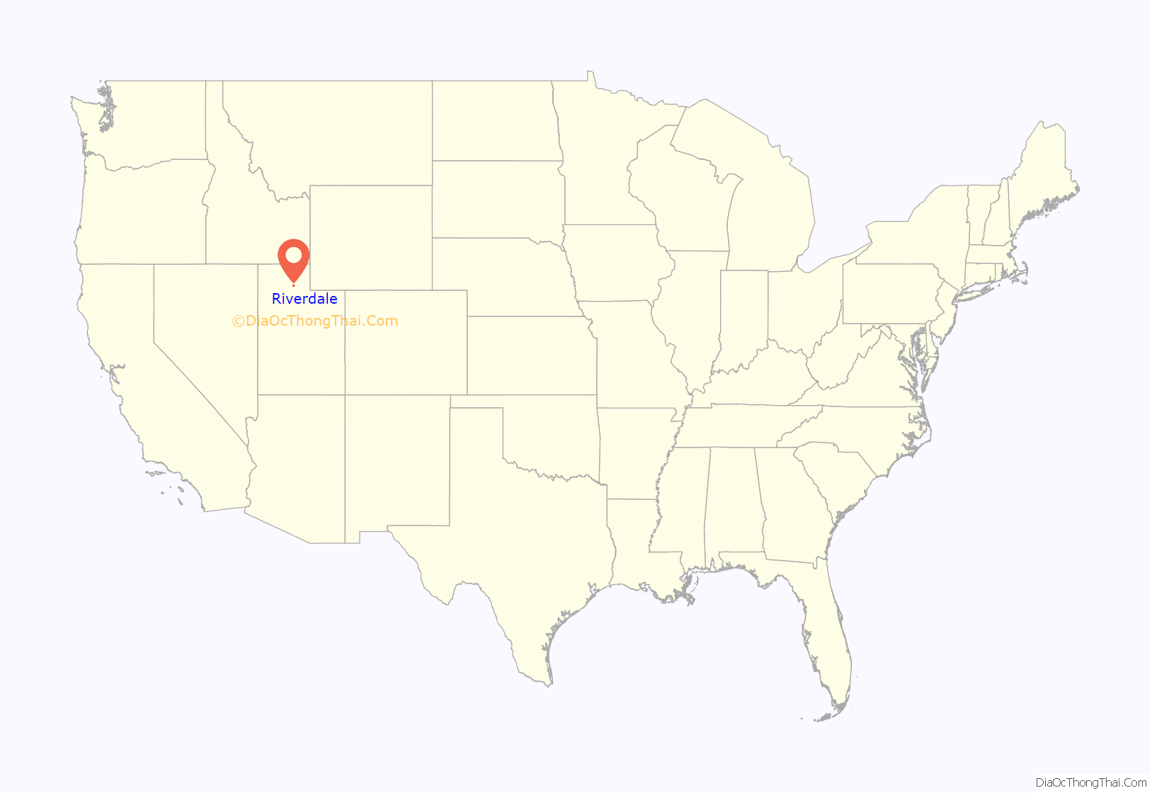
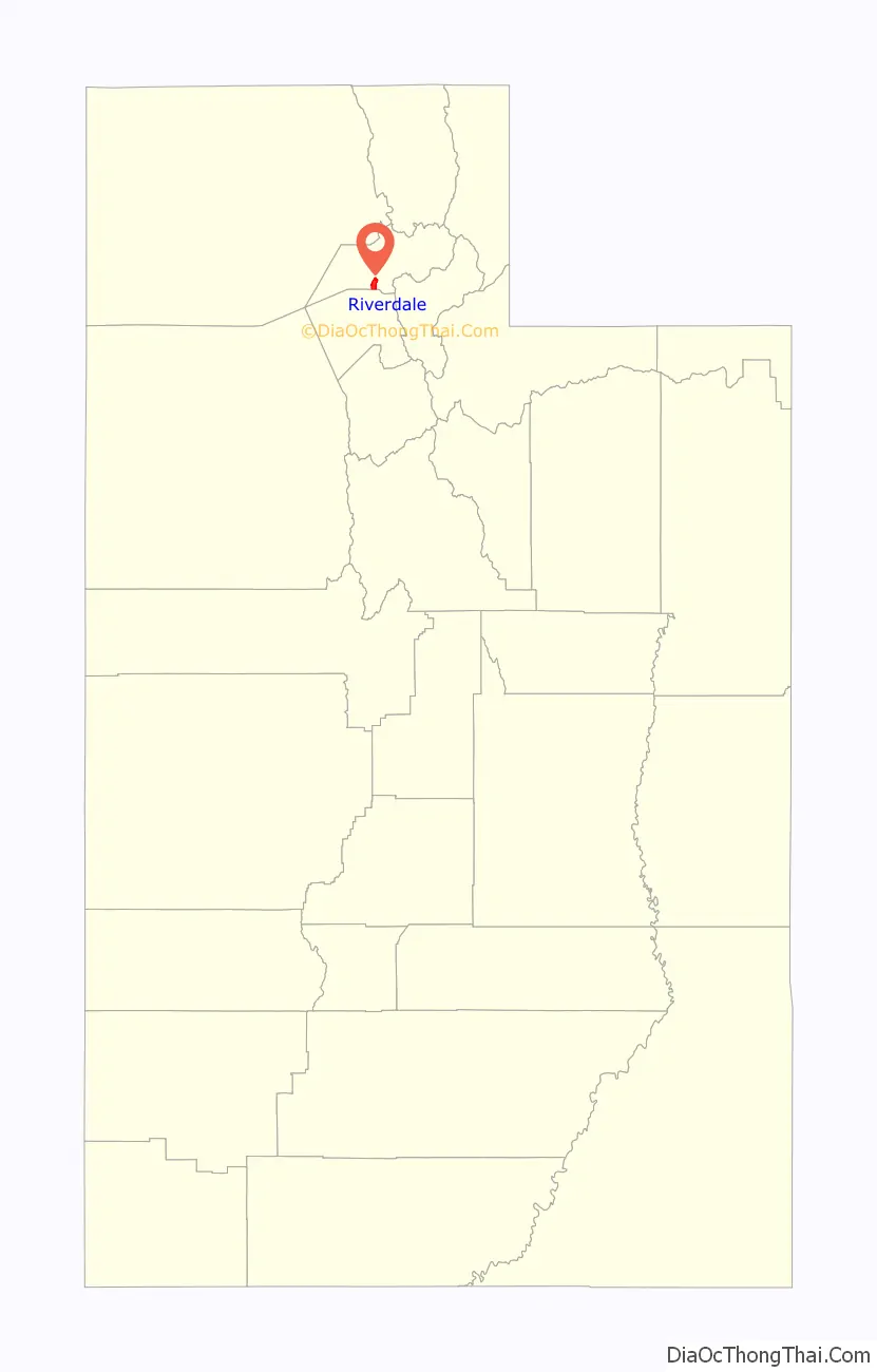
Riverdale location map. Where is Riverdale city?
History
Once called “Stringtown” due to the early homes being strung along a single road and the Weber River, Riverdale was also known as “Jack Thompson’s Settlement” and “Union” before the name of Riverdale was given to the town.
The first settlers in the community were James Graham, his sons George and Robert, and other members of the Graham family. They farmed in the area as early as 1850. Elisha Lane located nearby, as did William Farley, and Rufus Allen. Other early settlers of Riverdale included Adam Fife, Alexander Patterson, Warren Gould Child Sr, Thomas Slater, Richard Woolsey, John Child, John C. Thompson, William Stimpson, Myron Barber Child, Richard Dye, and George Ritter.
Daniel Burch built a grist mill along the eastern bank of the Weber River in 1853. John Taylor, an LDS apostle, purchased and expanded the mill in 1858. Other industries began establishing, including match manufacturing (by Hugh Findlay, who later served as the settlement’s first teacher), a blacksmith shop, and a canning factory.
The town of Riverdale was finally incorporated on March 4, 1946.
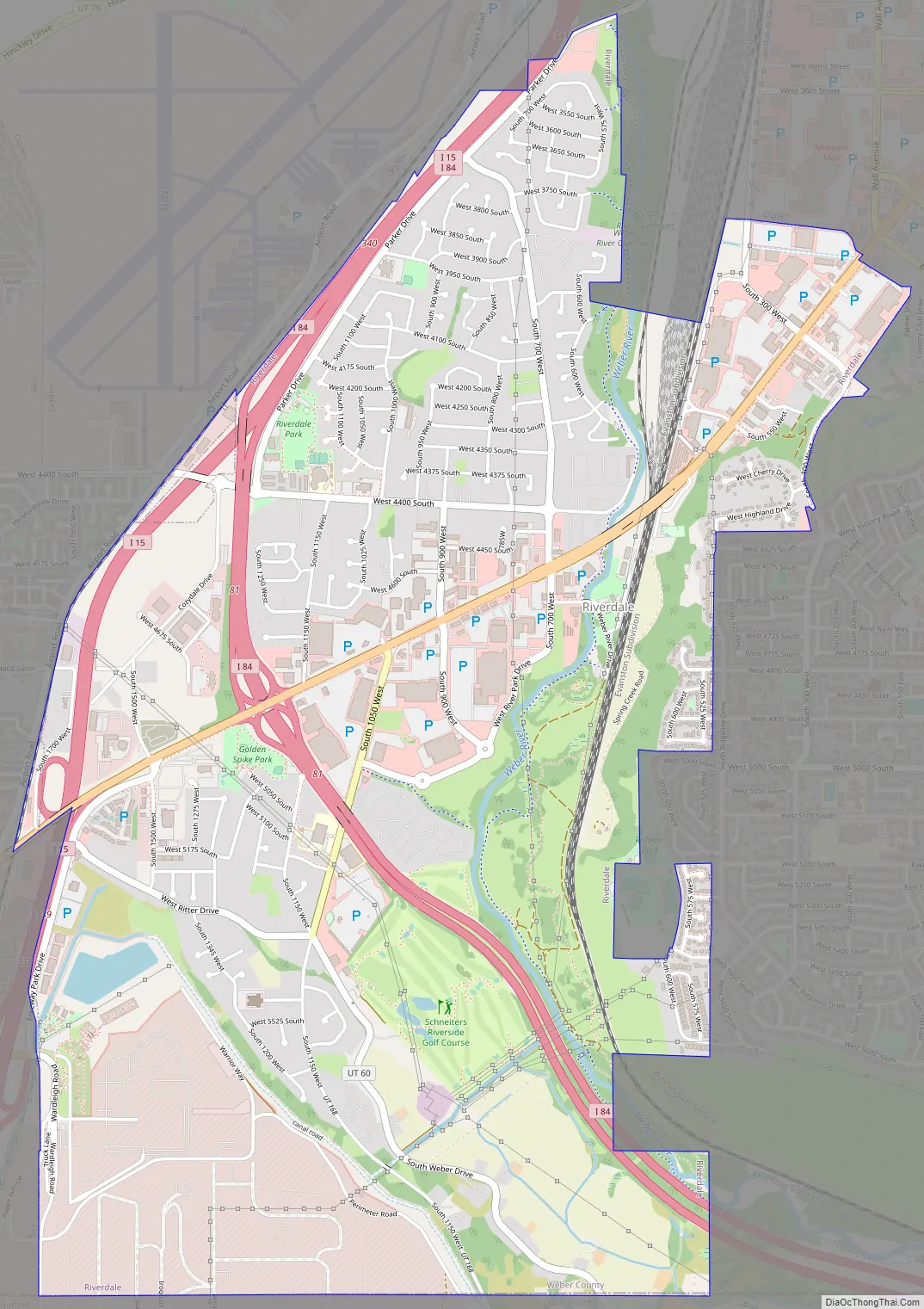
Riverdale Road Map
Riverdale city Satellite Map
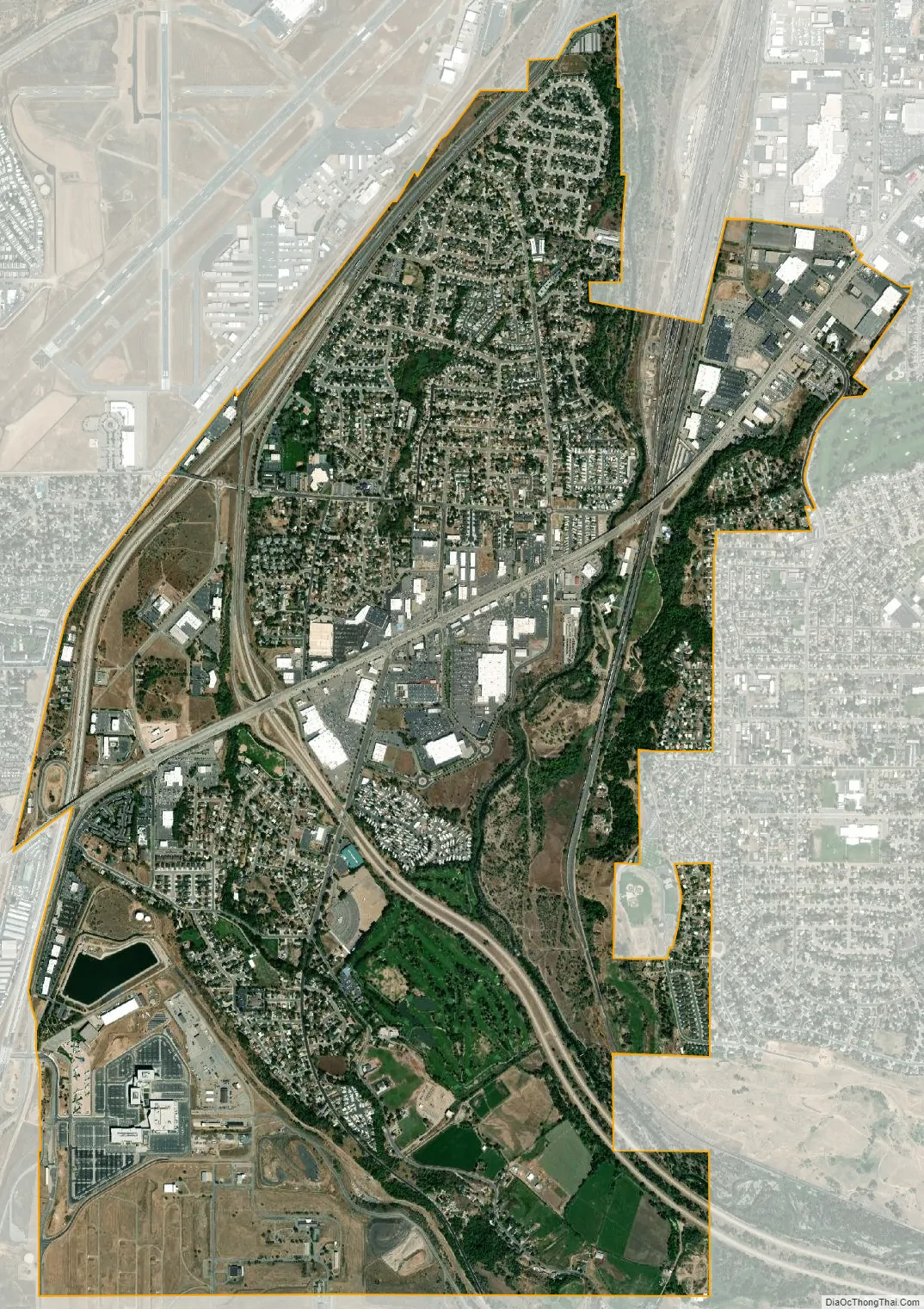
Geography
According to the United States Census Bureau, the city has a total area of 4.4 square miles (11.5 km), all land.
See also
Map of Utah State and its subdivision: Map of other states:- Alabama
- Alaska
- Arizona
- Arkansas
- California
- Colorado
- Connecticut
- Delaware
- District of Columbia
- Florida
- Georgia
- Hawaii
- Idaho
- Illinois
- Indiana
- Iowa
- Kansas
- Kentucky
- Louisiana
- Maine
- Maryland
- Massachusetts
- Michigan
- Minnesota
- Mississippi
- Missouri
- Montana
- Nebraska
- Nevada
- New Hampshire
- New Jersey
- New Mexico
- New York
- North Carolina
- North Dakota
- Ohio
- Oklahoma
- Oregon
- Pennsylvania
- Rhode Island
- South Carolina
- South Dakota
- Tennessee
- Texas
- Utah
- Vermont
- Virginia
- Washington
- West Virginia
- Wisconsin
- Wyoming