Roy is a city in Weber County, Utah, United States, located on the west side of Interstate 15. The population estimate in 2019 was 39,613, an increase of 5.8% from 36,884 at the 2010 Census. It is part of the Ogden−Clearfield, Utah Metropolitan Statistical Area, and is considered a suburb of nearby Ogden, although some small businesses are present in Roy.
| Name: | Roy city |
|---|---|
| LSAD Code: | 25 |
| LSAD Description: | city (suffix) |
| State: | Utah |
| County: | Weber County |
| Incorporated: | March 10, 1937 |
| Elevation: | 4,541 ft (1,384 m) |
| Total Area: | 8.14 sq mi (21.07 km²) |
| Land Area: | 8.13 sq mi (21.07 km²) |
| Water Area: | 0.00 sq mi (0.00 km²) |
| Total Population: | 36,884 |
| Population Density: | 4,869.45/sq mi (1,880.14/km²) |
| ZIP code: | 84067, 84401 |
| Area code: | 385, 801 |
| FIPS code: | 4965110 |
| GNISfeature ID: | 1432035 |
Online Interactive Map
Click on ![]() to view map in "full screen" mode.
to view map in "full screen" mode.
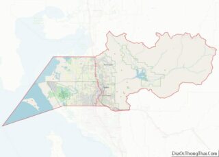
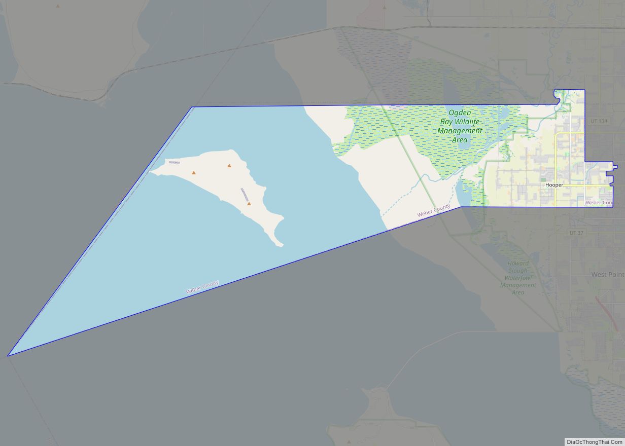
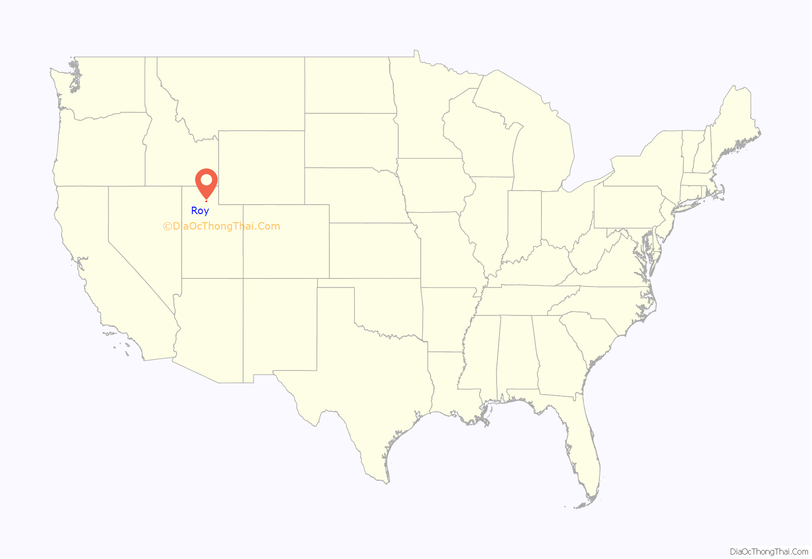
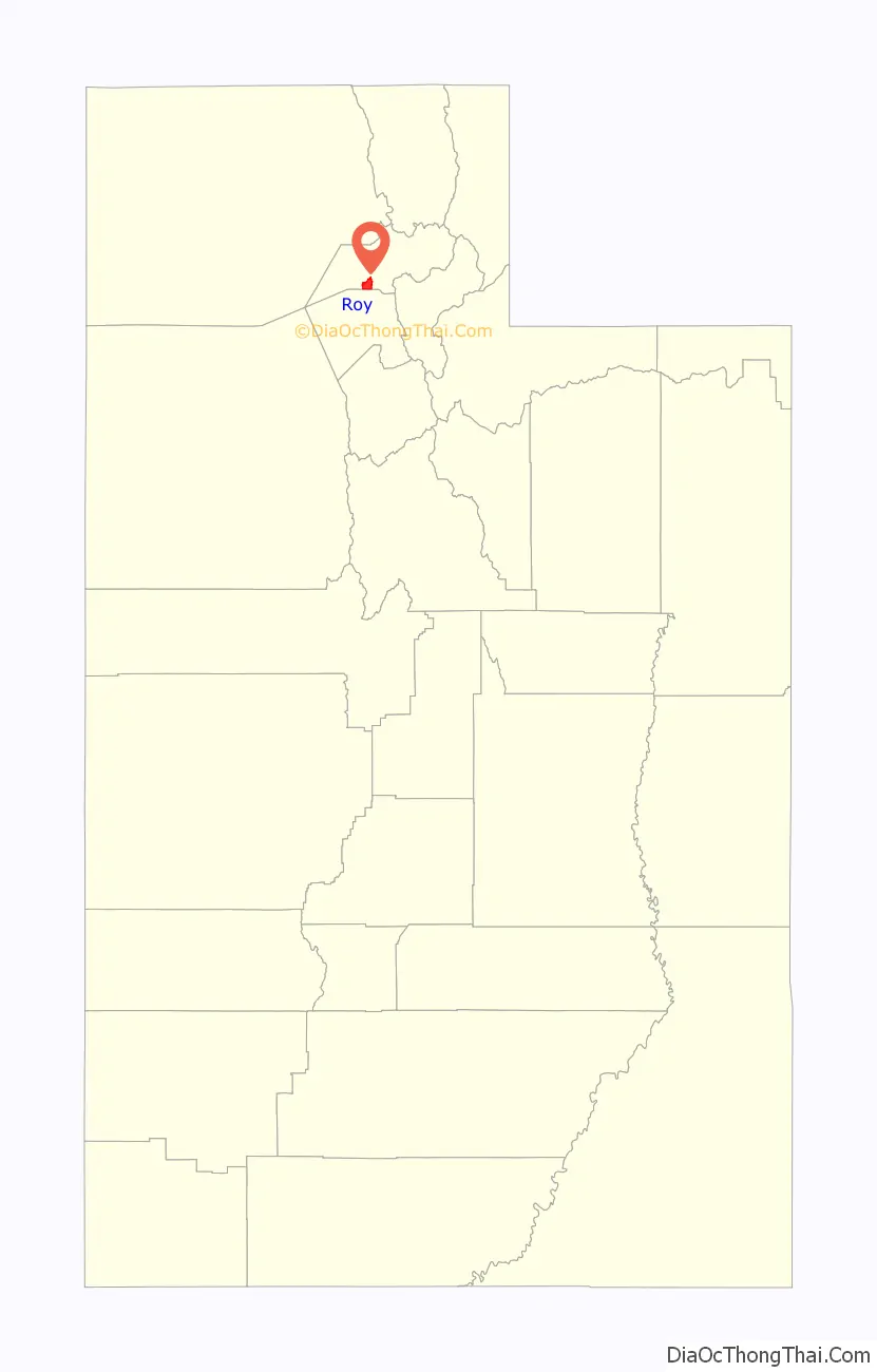
Roy location map. Where is Roy city?
History
Previously Eastern Shoshone and Goshute land, Roy was settled in 1873 by William Evans Baker, twenty-five years after Ogden. Most of the communities to the east and south had been settled prior to that time. Previously known as Central City, Sandridge, the Basin, and Lakeview—Roy was ultimately named for a local school teacher’s child, Roy C. Peebles, who had died. On May 24, 1894, a post office was established and Roy’s name was made official. The City of Roy was incorporated on March 10, 1937. Joseph William Jensen was the first mayor of Roy for 6 years, as elected by the commissioners.
Businesses in Roy were limited until the early 1940s. A gas station, several grocery stores, a cafe, and a lumber yard made up the modest business district. However, Roy developed rapidly during World War II. Roy housed many of the workers and personnel from adjacent military installations, including Hill Air Force Base, the Navy Supply Depot (now the Freeport Center), and the Defense Supply Depot. September 1953 marked a milestone in Roy’s history—Roy received a charter to establish the first branch bank in the state of Utah. This branch of the Bank of Utah pioneered the way for other banks to establish branches throughout the state. Norton Parker, son of Mayor Dean Parker, was the first manager of this new branch bank.
Roy’s population growth was extreme in the 1950s and 1960s when most of the eastern bench was populated with entry-level homes. Starting in the 1980s, construction efforts shifted to the bottom of the hill on the west side of Roy, continuing until about 2005 when new real estate shifted west and south.
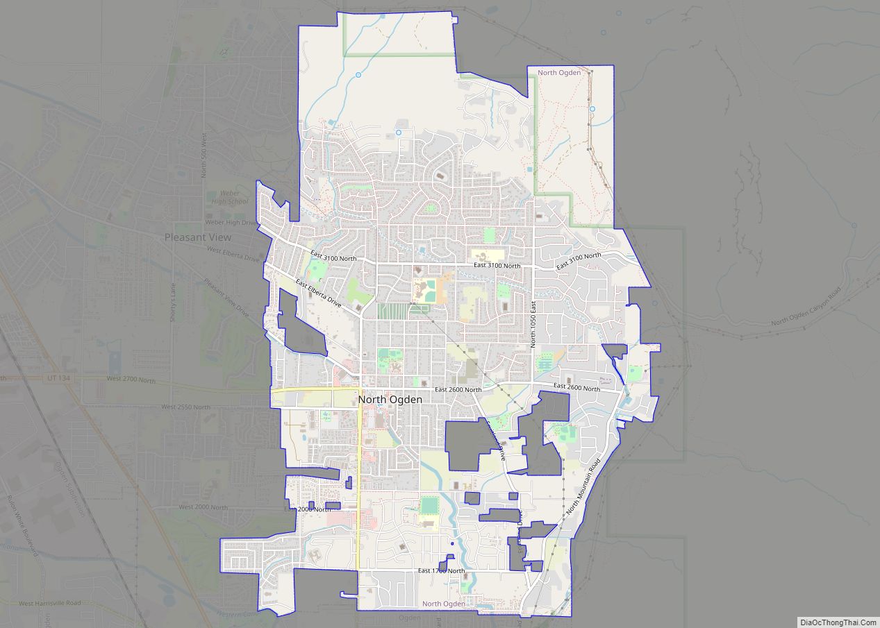
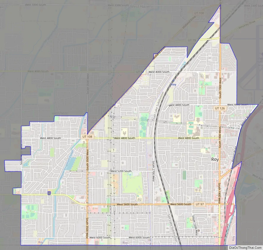
Roy Road Map
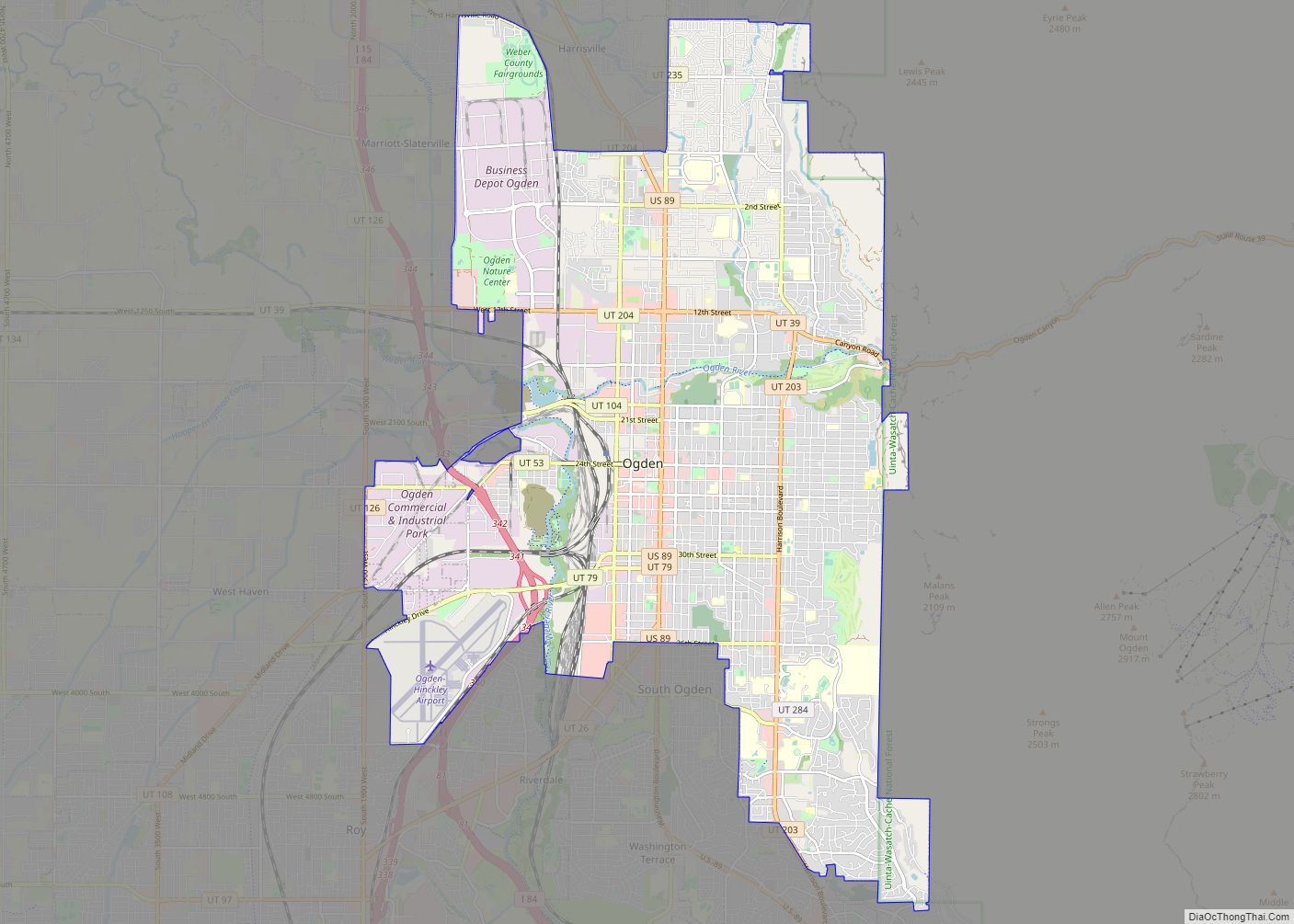
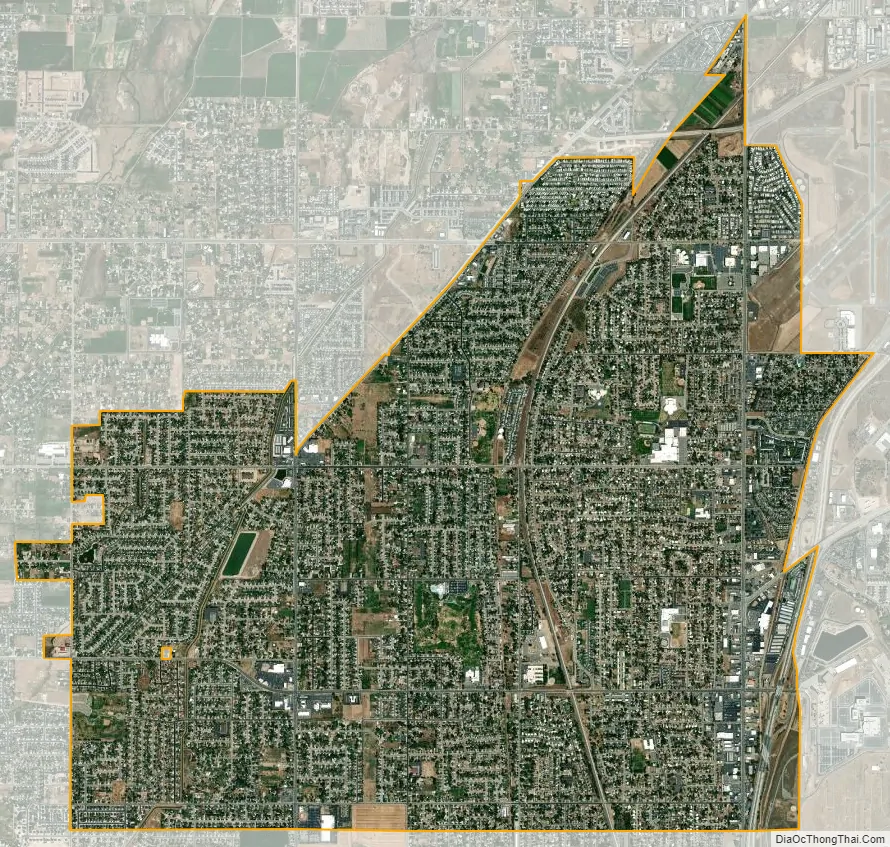
Roy city Satellite Map
Geography
Roy is located at 41°10′14″N 112°02′55″W / 41.170614°N 112.048674°W / 41.170614; -112.048674, and encompasses 7.6 square miles (19.7 square kilometers), all land. To the west is the city of Hooper, to the north is West Haven, to the east are Riverdale and Ogden, and the Davis County cities of Clinton and Sunset border Roy on its south.
Climate
Roy is located in the Wasatch Front, an area that experiences variant seasonal temperatures and generally dry conditions. April or May is generally the wettest month, with July the driest. Yearly temperatures usually cap off at about 95–99 °F (35–37 °C), and yearly minimums are around 0–15 °F (−18 – −9 °C).
Under the Köppen climate classification, Roy has a Mediterranean climate (Csa) or dry-summer continental climate (Dsa) depending on which variant of the system is used.
See also
Map of Utah State and its subdivision: Map of other states:- Alabama
- Alaska
- Arizona
- Arkansas
- California
- Colorado
- Connecticut
- Delaware
- District of Columbia
- Florida
- Georgia
- Hawaii
- Idaho
- Illinois
- Indiana
- Iowa
- Kansas
- Kentucky
- Louisiana
- Maine
- Maryland
- Massachusetts
- Michigan
- Minnesota
- Mississippi
- Missouri
- Montana
- Nebraska
- Nevada
- New Hampshire
- New Jersey
- New Mexico
- New York
- North Carolina
- North Dakota
- Ohio
- Oklahoma
- Oregon
- Pennsylvania
- Rhode Island
- South Carolina
- South Dakota
- Tennessee
- Texas
- Utah
- Vermont
- Virginia
- Washington
- West Virginia
- Wisconsin
- Wyoming