Smithfield is a city in Cache County, Utah, United States. The population was 9,495 at the 2010 United States Census, with an estimated population of 12,025 in 2019. It is included in the Logan, Utah–Idaho Metropolitan Statistical Area, and is the second largest city in the area after Logan, the county seat. Smithfield is home to one public high school and three public elementary schools.
| Name: | Smithfield city |
|---|---|
| LSAD Code: | 25 |
| LSAD Description: | city (suffix) |
| State: | Utah |
| County: | Cache County |
| Elevation: | 4,603 ft (1,403 m) |
| Total Area: | 5.35 sq mi (13.9 km²) |
| Land Area: | 5.35 sq mi (13.9 km²) |
| Water Area: | 0.00 sq mi (0.0 km²) |
| Total Population: | 9,495 |
| Population Density: | 2,246.82/sq mi (867.50/km²) |
| ZIP code: | 84335 |
| Area code: | 435 |
| FIPS code: | 4969640 |
| GNISfeature ID: | 1445709 |
| Website: | www.smithfieldcity.org |
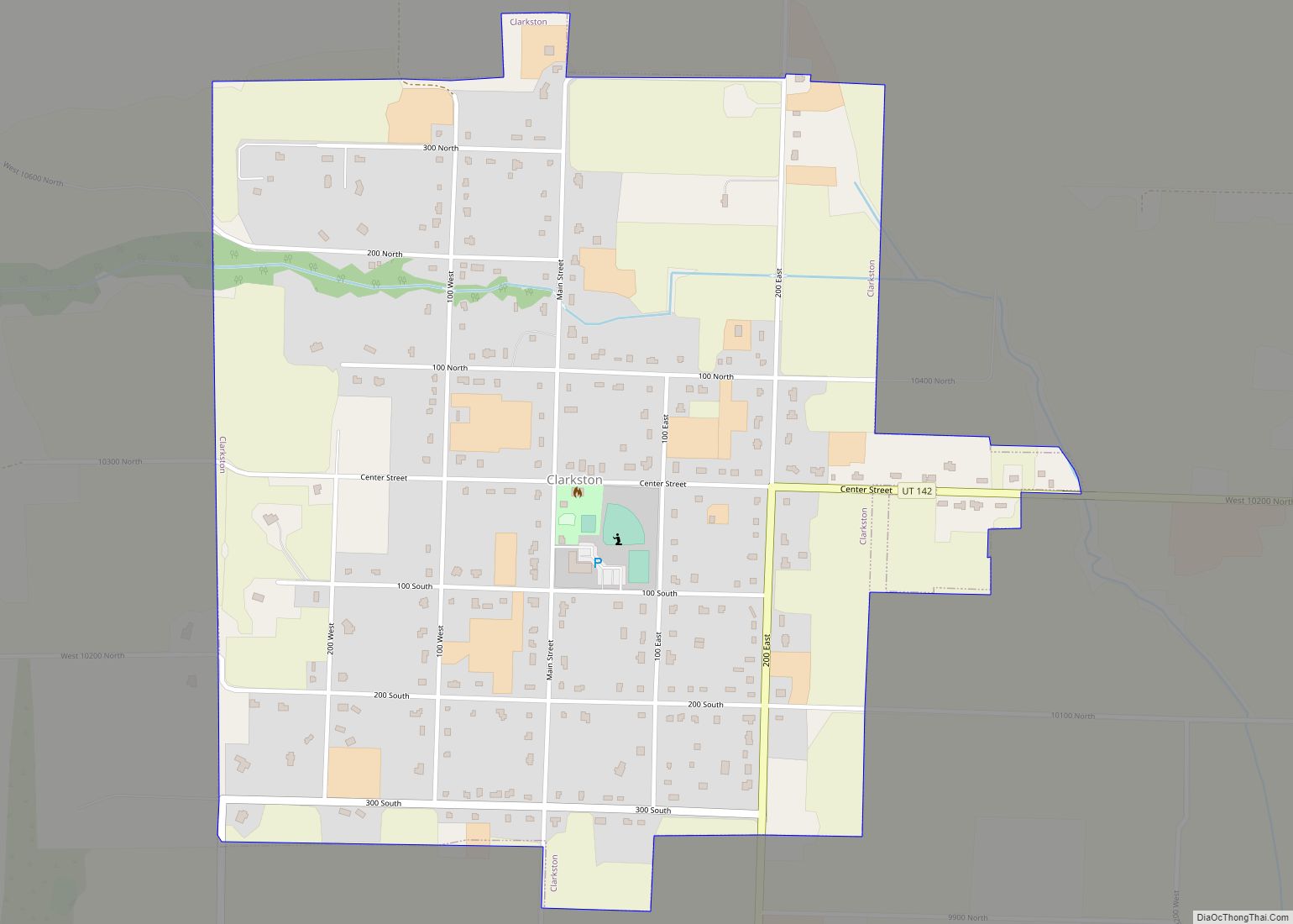
Online Interactive Map
Click on ![]() to view map in "full screen" mode.
to view map in "full screen" mode.
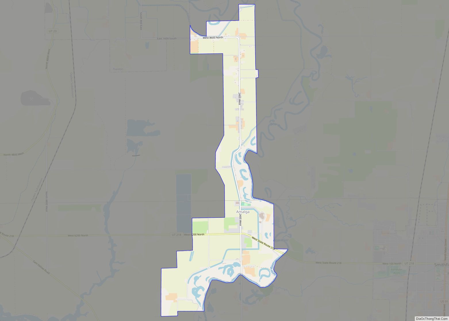
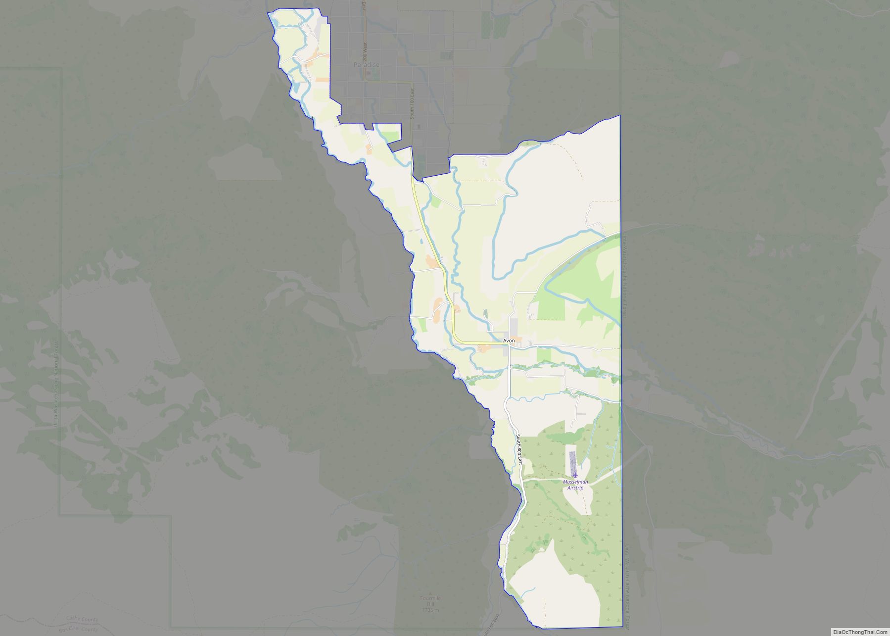
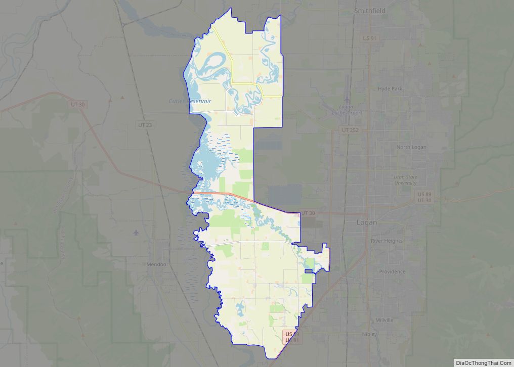
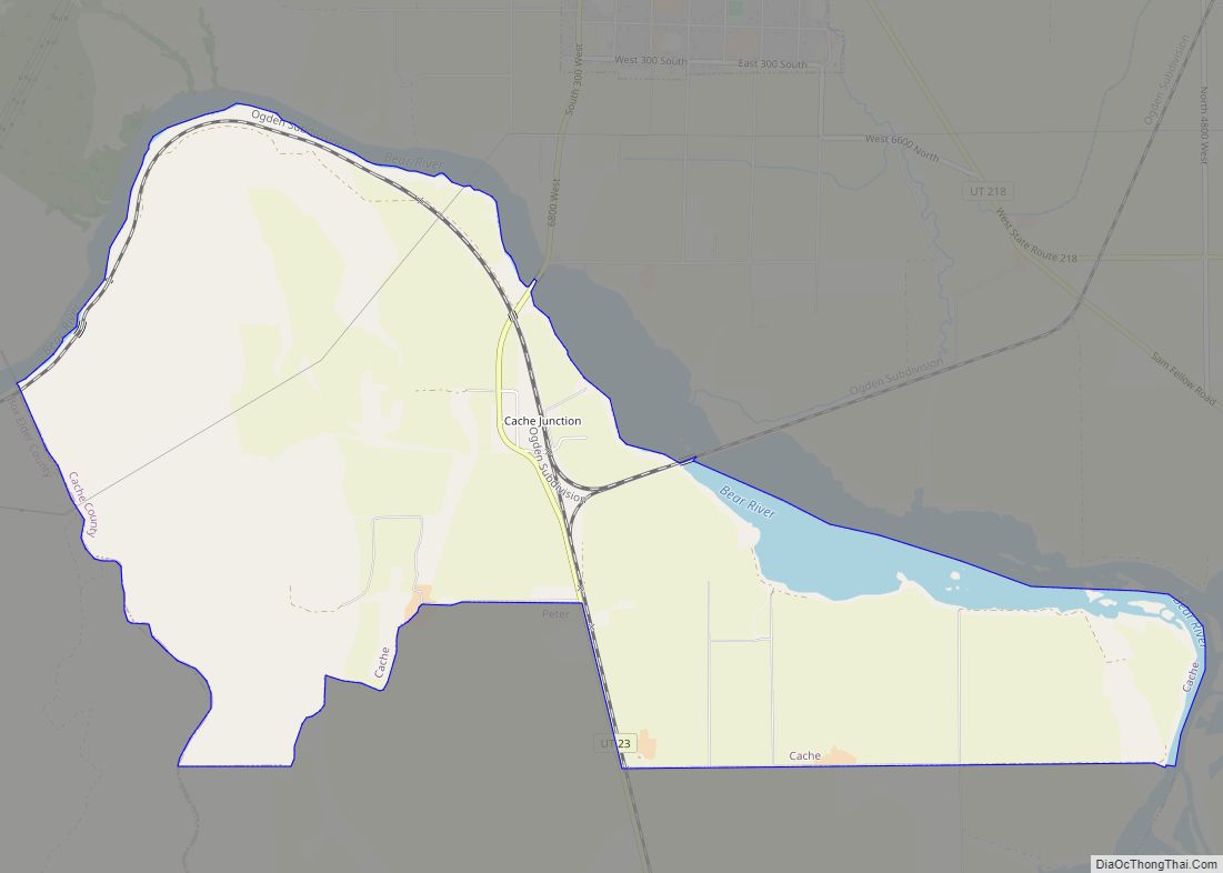
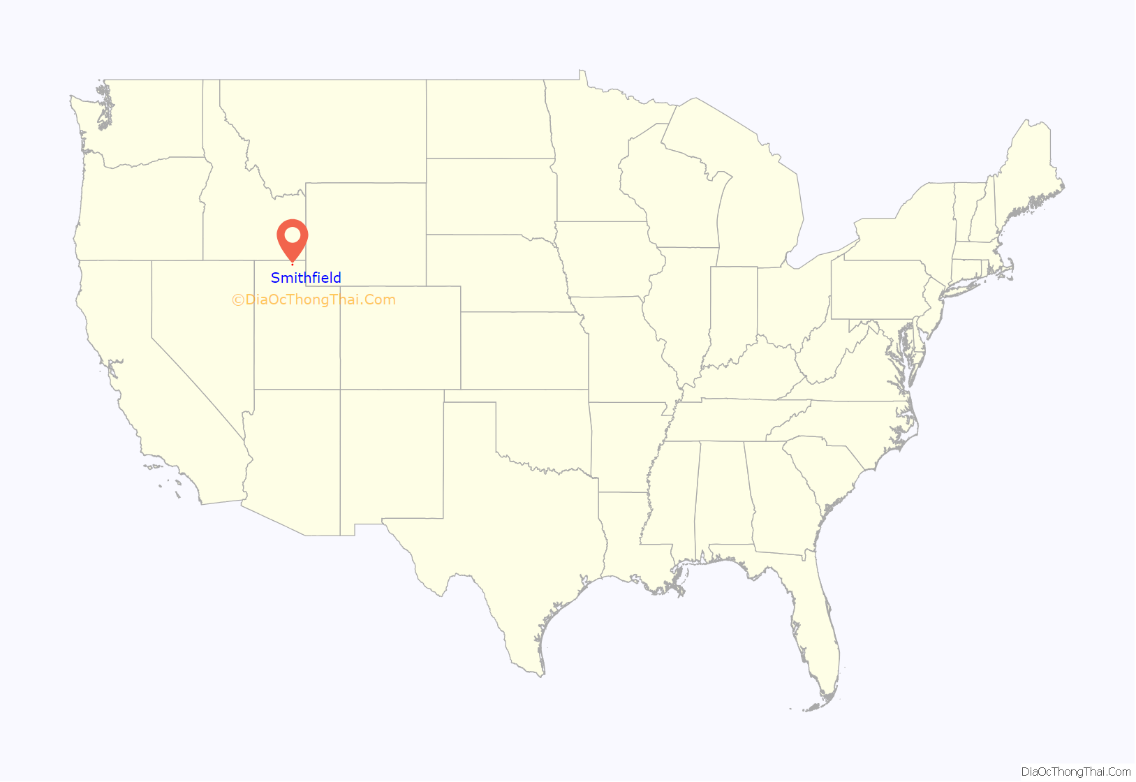
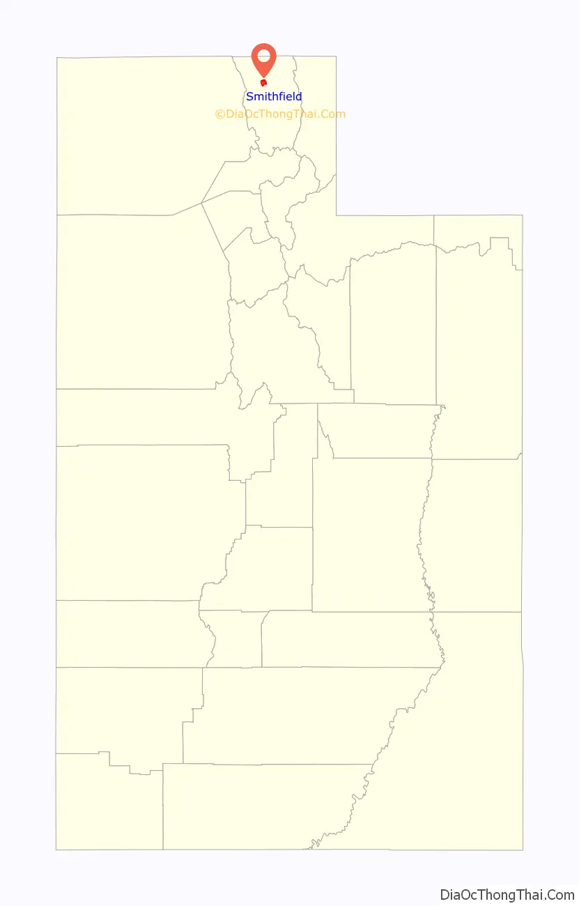
Smithfield location map. Where is Smithfield city?
History
Originally known as “Summit Creek” (due to its location on that creek), Smithfield was founded in 1857 by brothers Robert and John Thornley and their cousin Seth Langton, who were sent north from Salt Lake City by LDS Church President Brigham Young to found a settlement on Summit Creek. After a preliminary scouting, Robert returned with his new wife Annie Brighton. The first winter was spent in a wagon box. By the next summer, with more settlers arriving, a small fort was built on the edge of the creek, one cabin of which remains. As the settlement grew, a bishop was named to lead the church congregation, and the town took his name. By 1917 the town had planted trees on both sides of its Main Street and had acquired a Carnegie library and a Rotary club. Dependent for many years on dairying, a Del Monte canning factory, and the sugar beet industry, the town is now essentially a bedroom community for Logan and its Utah State University.
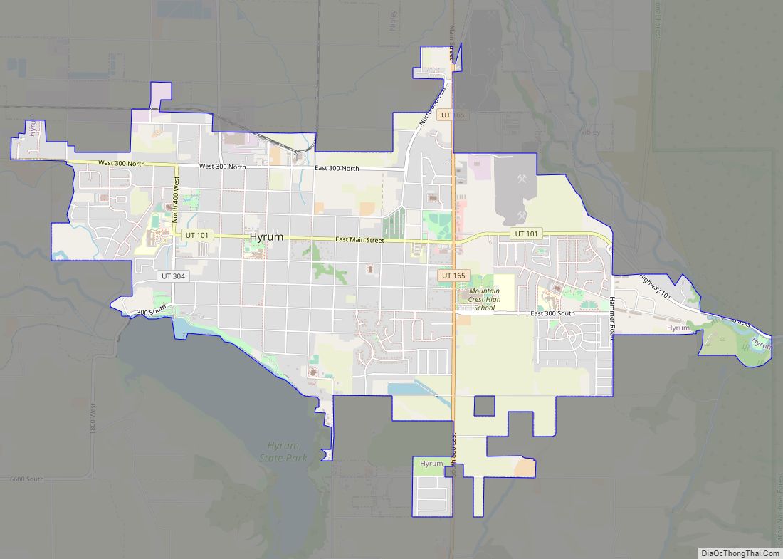
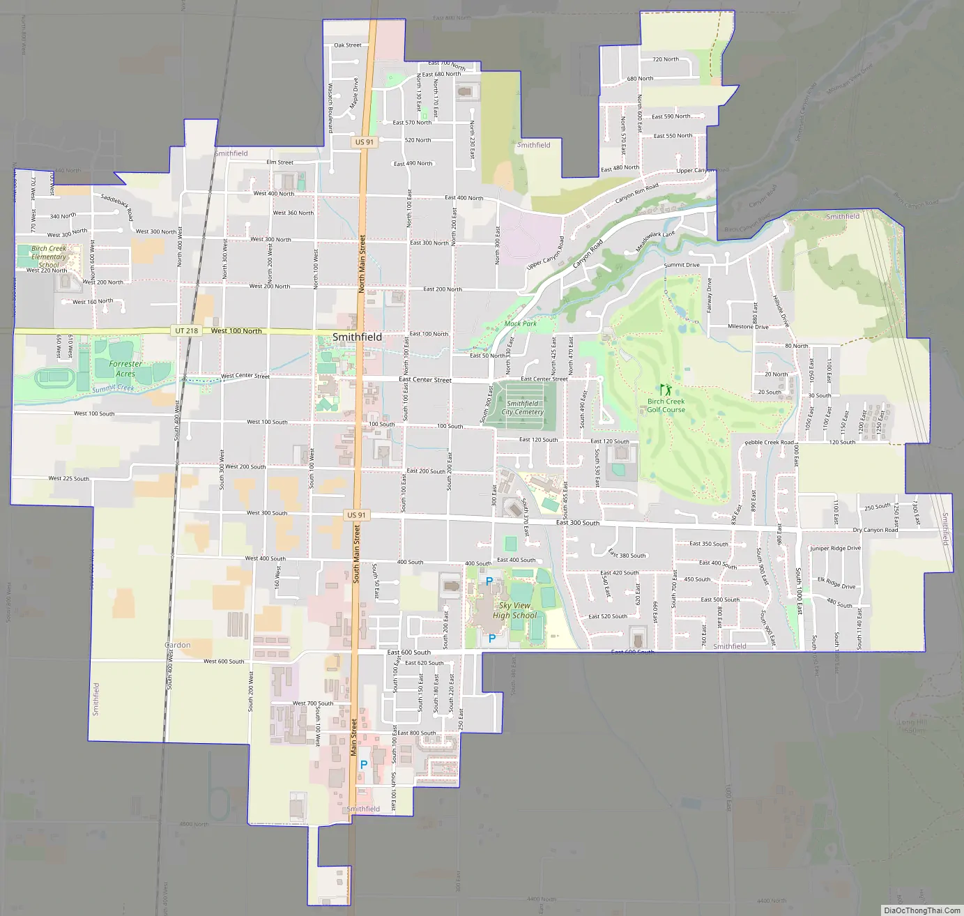
Smithfield Road Map
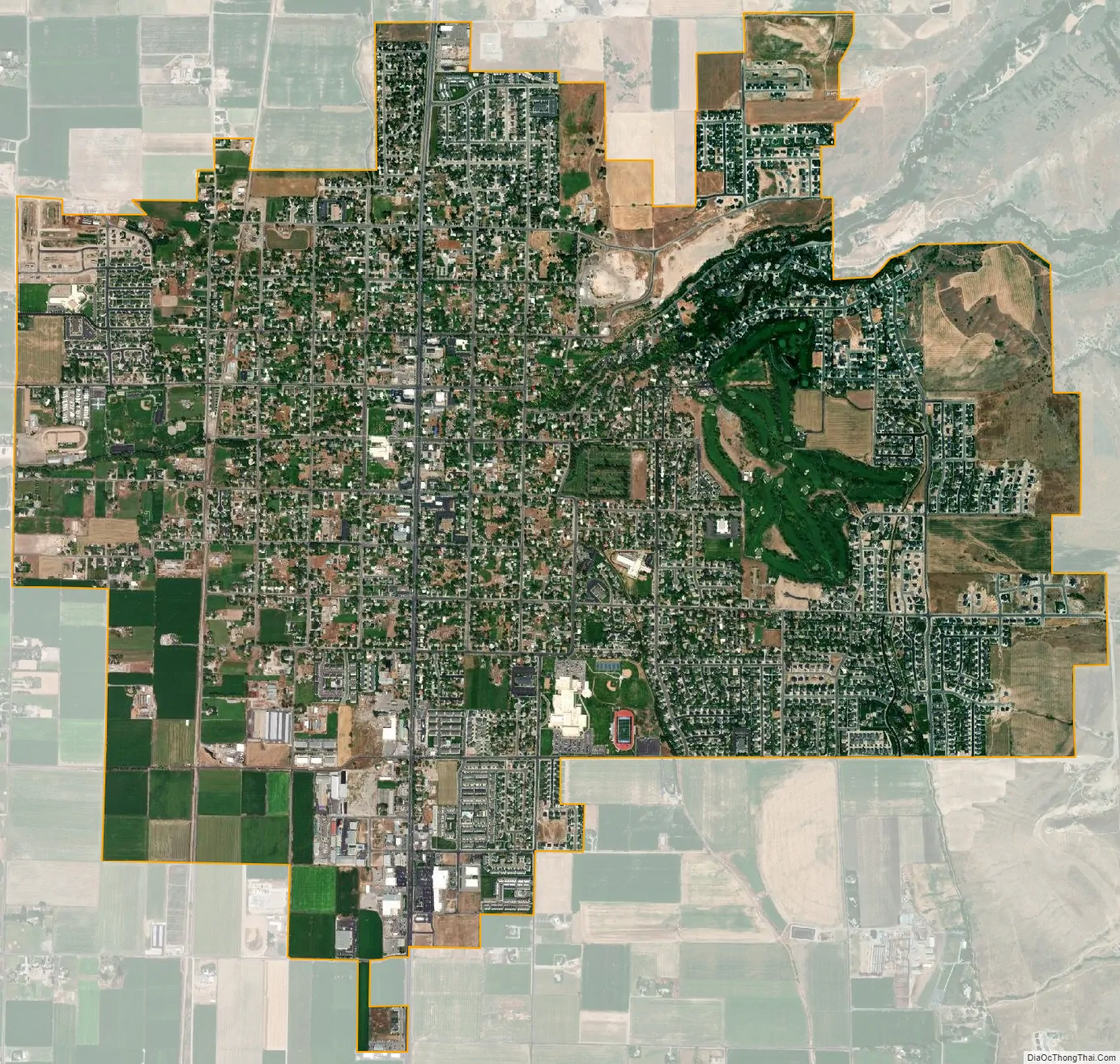
Smithfield city Satellite Map
Geography
According to the United States Census Bureau, the city has a total area of 5.0 square miles (12.9 km), all land.
See also
Map of Utah State and its subdivision: Map of other states:- Alabama
- Alaska
- Arizona
- Arkansas
- California
- Colorado
- Connecticut
- Delaware
- District of Columbia
- Florida
- Georgia
- Hawaii
- Idaho
- Illinois
- Indiana
- Iowa
- Kansas
- Kentucky
- Louisiana
- Maine
- Maryland
- Massachusetts
- Michigan
- Minnesota
- Mississippi
- Missouri
- Montana
- Nebraska
- Nevada
- New Hampshire
- New Jersey
- New Mexico
- New York
- North Carolina
- North Dakota
- Ohio
- Oklahoma
- Oregon
- Pennsylvania
- Rhode Island
- South Carolina
- South Dakota
- Tennessee
- Texas
- Utah
- Vermont
- Virginia
- Washington
- West Virginia
- Wisconsin
- Wyoming