South Ogden is a city in Weber County, Utah, United States with 17,199 residents. The population was 16,532 at the 2010 census. It is part of the Ogden–Clearfield, Utah Metropolitan Statistical Area. The current mayor is Russell L. Porter.
| Name: | South Ogden city |
|---|---|
| LSAD Code: | 25 |
| LSAD Description: | city (suffix) |
| State: | Utah |
| County: | Weber County |
| Incorporated: | July 6, 1936 |
| Elevation: | 4,449 ft (1,356 m) |
| Total Area: | 3.90 sq mi (10.10 km²) |
| Land Area: | 3.90 sq mi (10.10 km²) |
| Water Area: | 0.00 sq mi (0.00 km²) |
| Total Population: | 16,532 |
| Population Density: | 4,411.13/sq mi (1,703.28/km²) |
| ZIP code: | 84403 |
| Area code: | 385, 801 |
| FIPS code: | 4970960 |
| GNISfeature ID: | 1445910 |
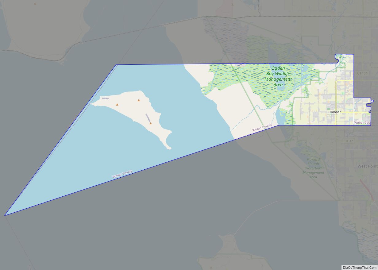
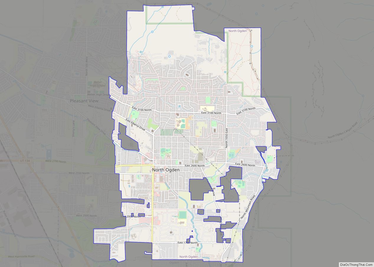
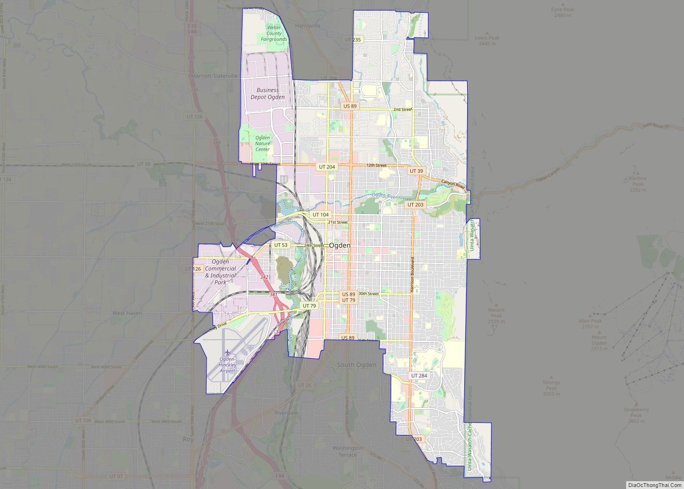
Online Interactive Map
Click on ![]() to view map in "full screen" mode.
to view map in "full screen" mode.
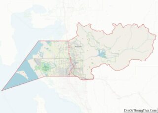
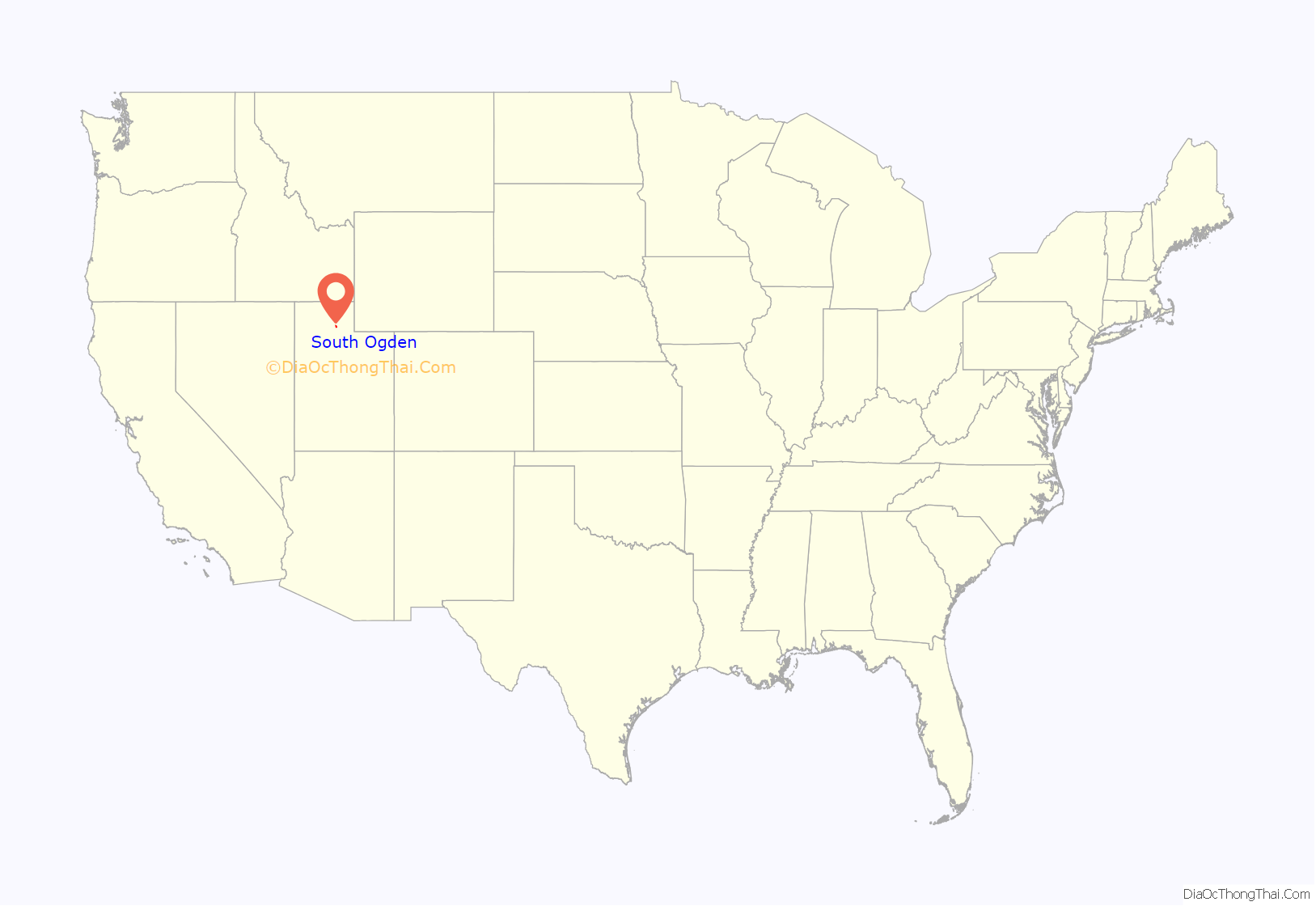
South Ogden location map. Where is South Ogden city?

History
The area was settled by members of the Mormon pioneers. Daniel Burch and his family arrived in Brownsville (Ogden) in 1848. Burch came from Kentucky with the Lorenzo Snow company of Utah pioneers. In 1850 the area was named Burch Creek in his honor. In 1852 the Weber Canal was built and Burch built a gristmill near its source in what is now Riverdale.
The Ogden City Council founded a six-room isolation facility for smallpox patients in Burch Creek in 1882. The area was a farming community with several dairy farms. There was little development until 1890 when extensive investments in land, both residential and commercial, took place.
Burch Creek Elementary and Junior High School was built in 1897. It was the first school in the area and was considered one of the most modern in the state. The first church building, the Ogden LDS 14th Ward, was erected in 1925.
In the 1930s Burch Creek was a farming community of about 800 people in need of more water. The water supply was augmented in 1934, a year of serious drought, when the Federal Drought Relief Agency financed the installation of a water supply line from Burch Creek Canyon. The question of annexing Burch Creek to Ogden was raised many times, but each time the proposal was rejected by a majority of the people. Burch Creek was in need of a sewer system, more water, roads, and sidewalks. In 1936 a committee petitioned Weber County commissioners to allow incorporation. The petition was granted and on July 6, 1936 the town of South Ogden was established.
South Ogden’s close location to Hill Air Force Base and the Ogden Arsenal led to a housing boom in the 1940s. By 1946 the population exceeded 3,600, and South Ogden became known as the “City of Homes.” The largest growth for the city came in the 1950s, at which time it grew by 150 percent. Because of this new growth, a new municipal building was constructed. The building also housed a fire station, and a new 1953 fire truck was purchased. Washington Boulevard was widened to four lanes south of 40th Street.
Throughout the past forty years, residential growth has continued in the “City of Homes.” Businesses, schools, churches, fire and police departments, sewer and water lines continued to grow or to be expanded to serve the growing population. A new city hall was dedicated on December 8, 1983. Today, South Ogden boasts a comfortable balance of residential areas and business districts.
Several small shopping centers, stores, movie theaters, medical offices, and dental offices are scattered throughout the city. The Frank M. Browning Center for the Boy Scouts of America, the Kiwanis Club, Utah Highway Patrol, and a division of the Utah Driver’s License Bureau are located in South Ogden.
Mormon pioneers settled the area, and the LDS Church is still well represented, with several chapels located in the city. The Greek Orthodox Church of the Transfiguration was consecrated on December 18, 1969; the Holy Family Catholic Church was dedicated on May 26, 1981; and a few smaller denominations are also housed in the city.
See: Ida D. Draayer, South Ogden City, Utah History 1848-1984 (1985); and Richard C. Roberts and Richard W. Sadler, Ogden Junction City U.S.A. (1985)
In 2001, South Ogden elected Utah’s first African American mayor—Mayor George Garwood. He beat his opponent 2,010 votes to 776. After his election Mayor Garwood said, “It’s a joyous day, not just for the citizens of South Ogden but also for the citizens in Utah. To look beyond the color of a person’s skin and to see their character is a great thing.”
South Ogden Road Map
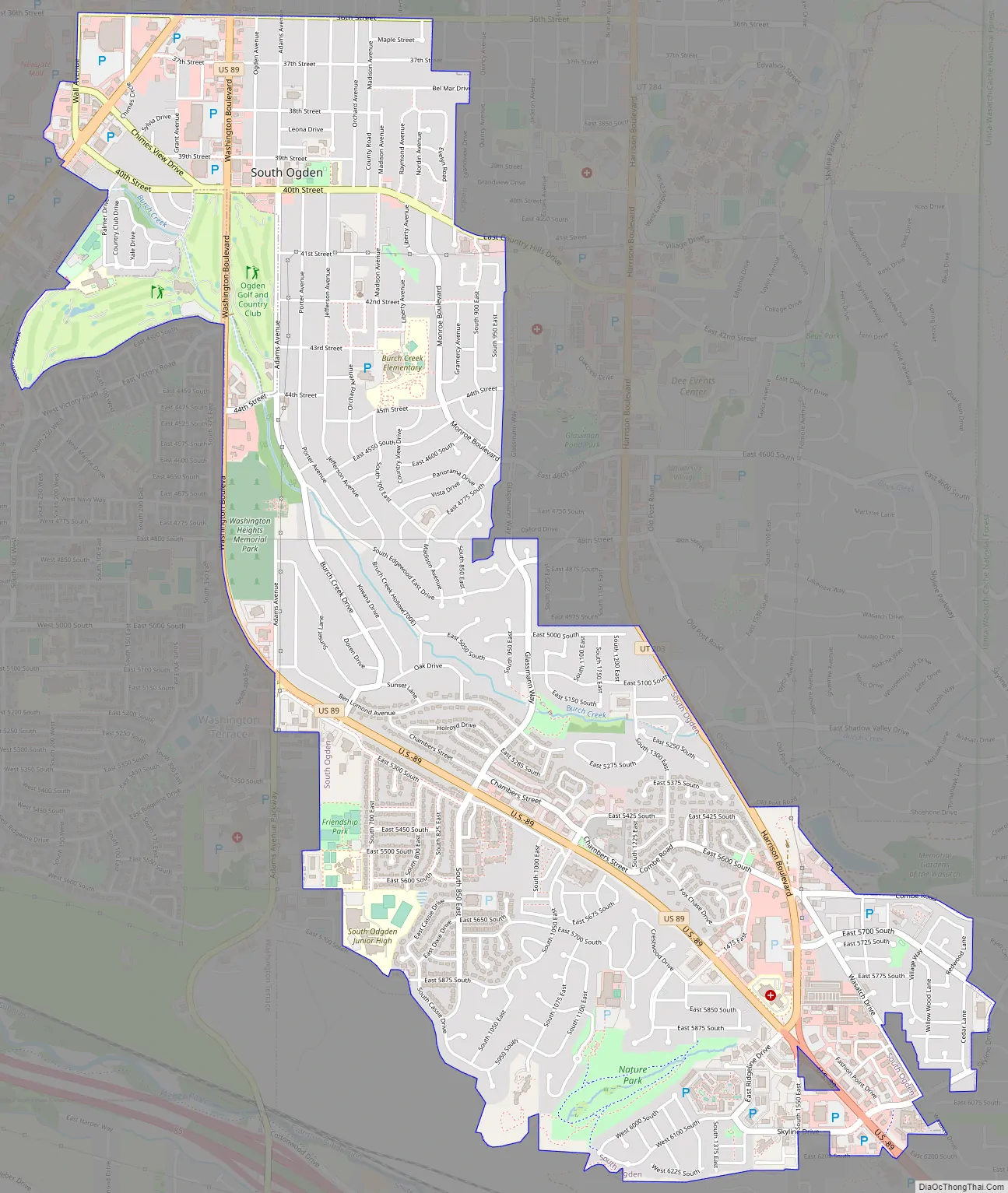
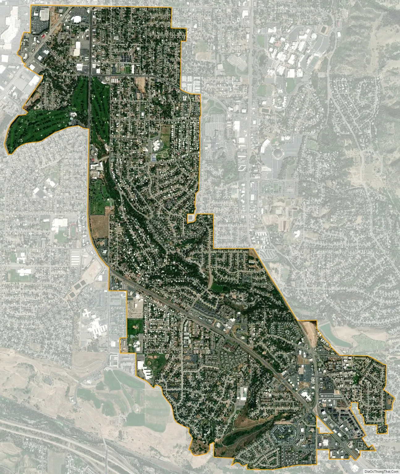
South Ogden city Satellite Map
Geography
According to the United States Census Bureau, the city has a total area of 3.7 square miles (9.5 km), all land.
See also
Map of Utah State and its subdivision: Map of other states:- Alabama
- Alaska
- Arizona
- Arkansas
- California
- Colorado
- Connecticut
- Delaware
- District of Columbia
- Florida
- Georgia
- Hawaii
- Idaho
- Illinois
- Indiana
- Iowa
- Kansas
- Kentucky
- Louisiana
- Maine
- Maryland
- Massachusetts
- Michigan
- Minnesota
- Mississippi
- Missouri
- Montana
- Nebraska
- Nevada
- New Hampshire
- New Jersey
- New Mexico
- New York
- North Carolina
- North Dakota
- Ohio
- Oklahoma
- Oregon
- Pennsylvania
- Rhode Island
- South Carolina
- South Dakota
- Tennessee
- Texas
- Utah
- Vermont
- Virginia
- Washington
- West Virginia
- Wisconsin
- Wyoming