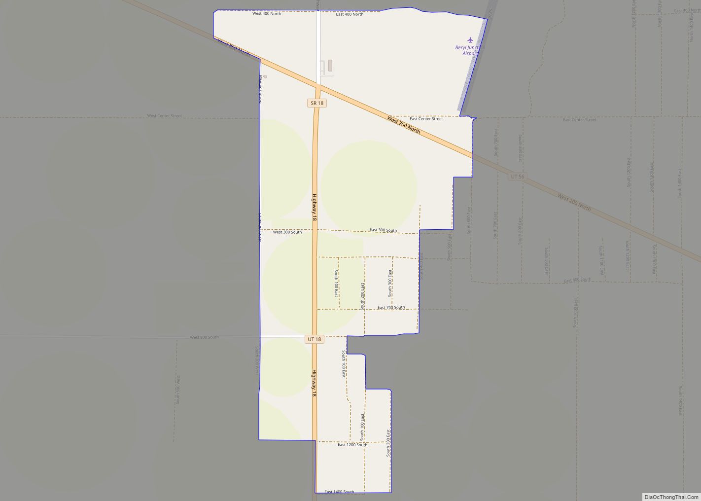
Summit is an unincorporated community and census-designated place (CDP) in east-central Iron County, Utah, United States. The population was 160 at the 2010 census.
| Name: | Summit CDP |
|---|---|
| LSAD Code: | 57 |
| LSAD Description: | CDP (suffix) |
| State: | Utah |
| County: | Iron County |
| Elevation: | 5,955 ft (1,815 m) |
| Total Area: | 0.7 sq mi (1.8 km²) |
| Land Area: | 0.7 sq mi (1.8 km²) |
| Water Area: | 0.0 sq mi (0.0 km²) |
| Total Population: | 160 |
| Population Density: | 230/sq mi (89/km²) |
| ZIP code: | 84772 |
| Area code: | 435 |
| FIPS code: | 4974040 |
| GNISfeature ID: | 2629954 |
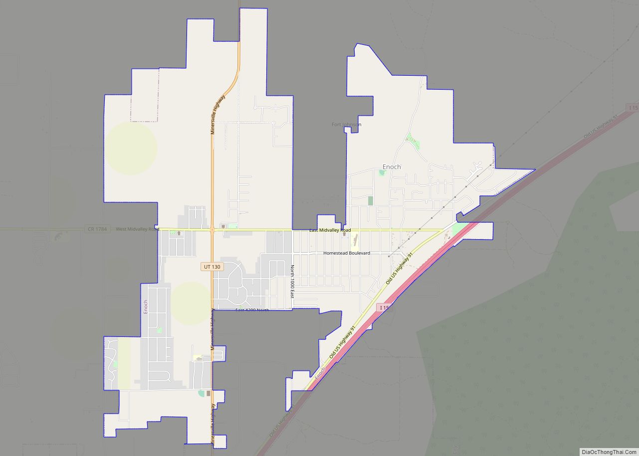
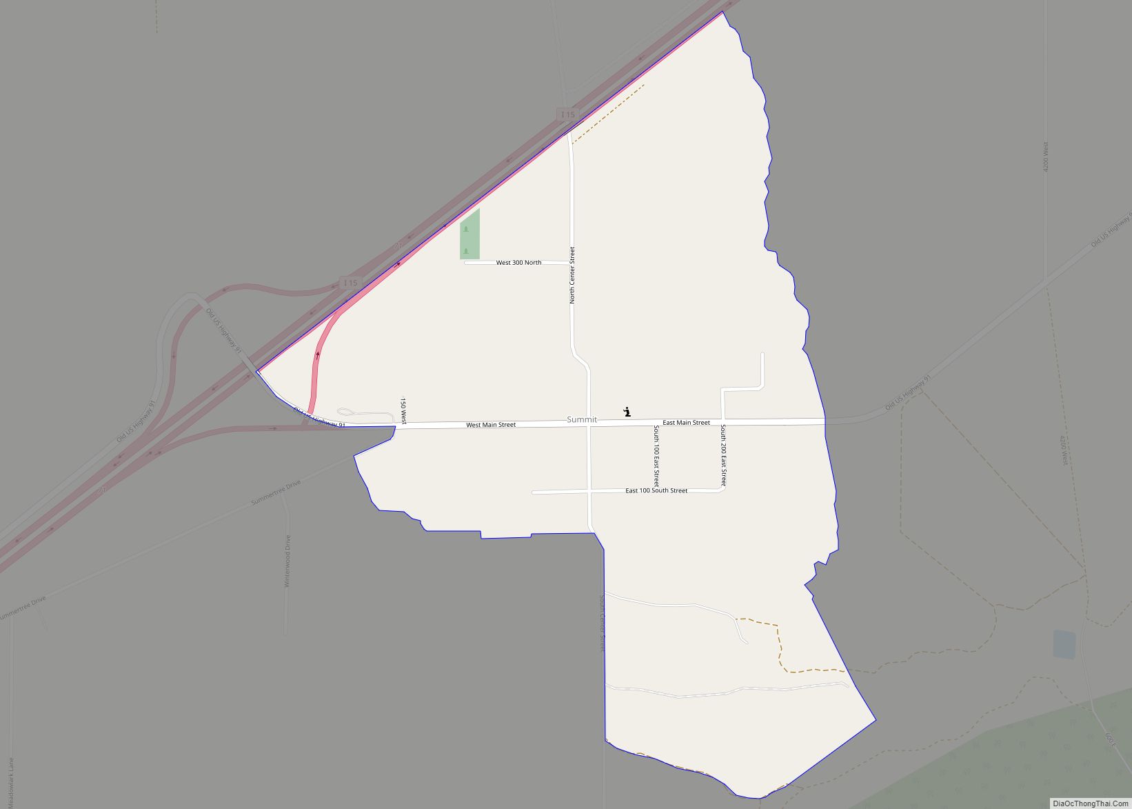
Online Interactive Map
Click on ![]() to view map in "full screen" mode.
to view map in "full screen" mode.
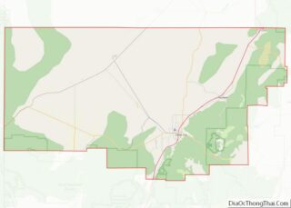
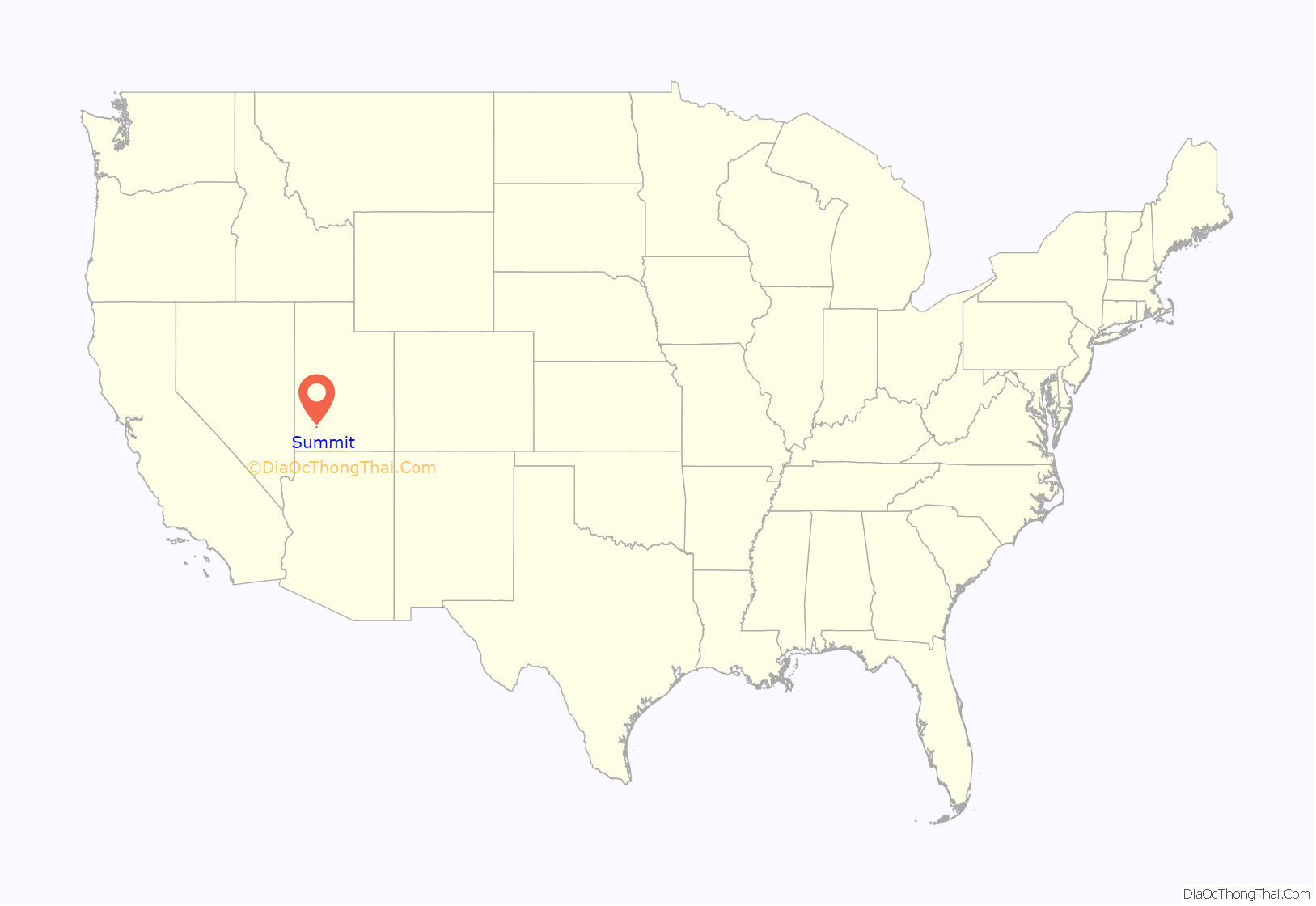
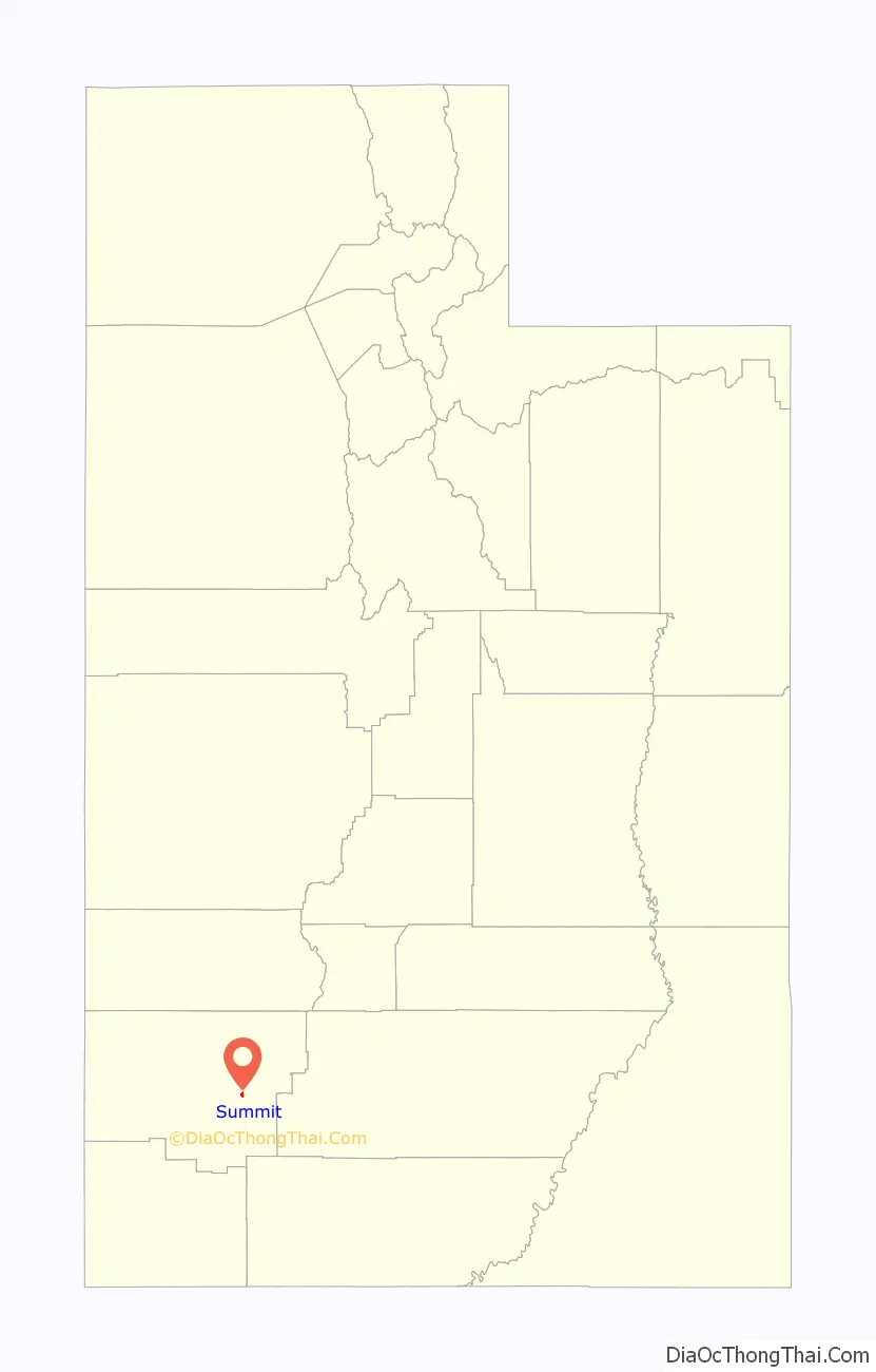
Summit location map. Where is Summit CDP?
History
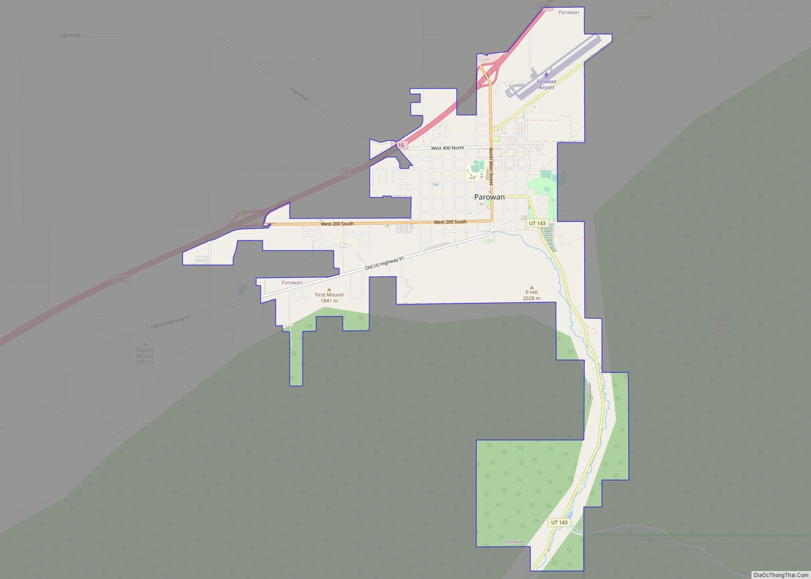
Summit was named for the fact that it sits on the divide between the Parowan Valley and Cedar Valley.
At first the area around Summit Creek was a grazing area for Parowan to the north. In the spring of 1858, Samuel T. Orton and other families moved to Summit Creek and began farming and tending bees, sheep and cattle. By July 1877 an LDS ward was organized in Summit. Sylvanus C. Hulet was its first bishop. Originally educating their children in a one-room log schoolhouse, it was upgraded later to a concrete building, then from 1920 to 1936, to a two-room brick schoolhouse for students up to the seventh grade.
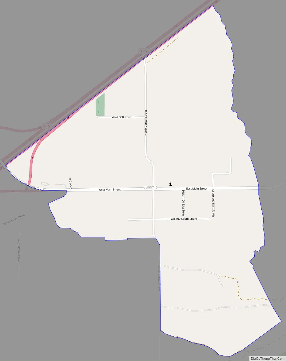
Summit Road Map
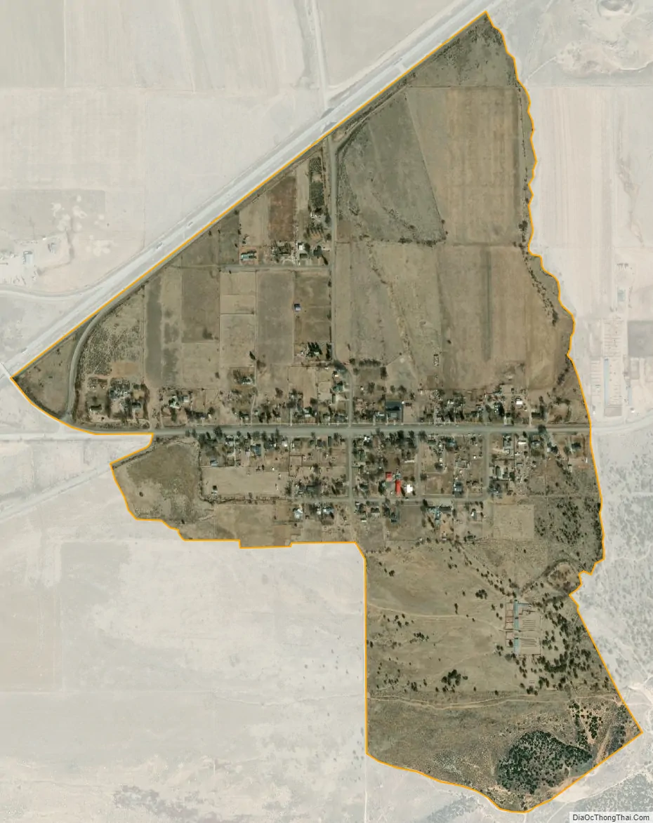
Summit city Satellite Map
See also
Map of Utah State and its subdivision: Map of other states:- Alabama
- Alaska
- Arizona
- Arkansas
- California
- Colorado
- Connecticut
- Delaware
- District of Columbia
- Florida
- Georgia
- Hawaii
- Idaho
- Illinois
- Indiana
- Iowa
- Kansas
- Kentucky
- Louisiana
- Maine
- Maryland
- Massachusetts
- Michigan
- Minnesota
- Mississippi
- Missouri
- Montana
- Nebraska
- Nevada
- New Hampshire
- New Jersey
- New Mexico
- New York
- North Carolina
- North Dakota
- Ohio
- Oklahoma
- Oregon
- Pennsylvania
- Rhode Island
- South Carolina
- South Dakota
- Tennessee
- Texas
- Utah
- Vermont
- Virginia
- Washington
- West Virginia
- Wisconsin
- Wyoming