Summit Park is a census-designated place (CDP) on the western edge of Summit County, Utah, United States. The population was 6,597 at the 2000 census.
| Name: | Summit Park CDP |
|---|---|
| LSAD Code: | 57 |
| LSAD Description: | CDP (suffix) |
| State: | Utah |
| County: | Summit County |
| Elevation: | 6,886 ft (2,099 m) |
| Total Area: | 21.7 sq mi (56.2 km²) |
| Land Area: | 21.7 sq mi (56.2 km²) |
| Water Area: | 0.0 sq mi (0.0 km²) |
| Total Population: | 6,597 |
| Population Density: | 304.0/sq mi (117.4/km²) |
| ZIP code: | 84098 |
| Area code: | 435 |
| FIPS code: | 4974095 |
| GNISfeature ID: | 1449081 |
Online Interactive Map
Click on ![]() to view map in "full screen" mode.
to view map in "full screen" mode.
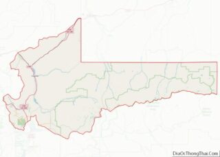
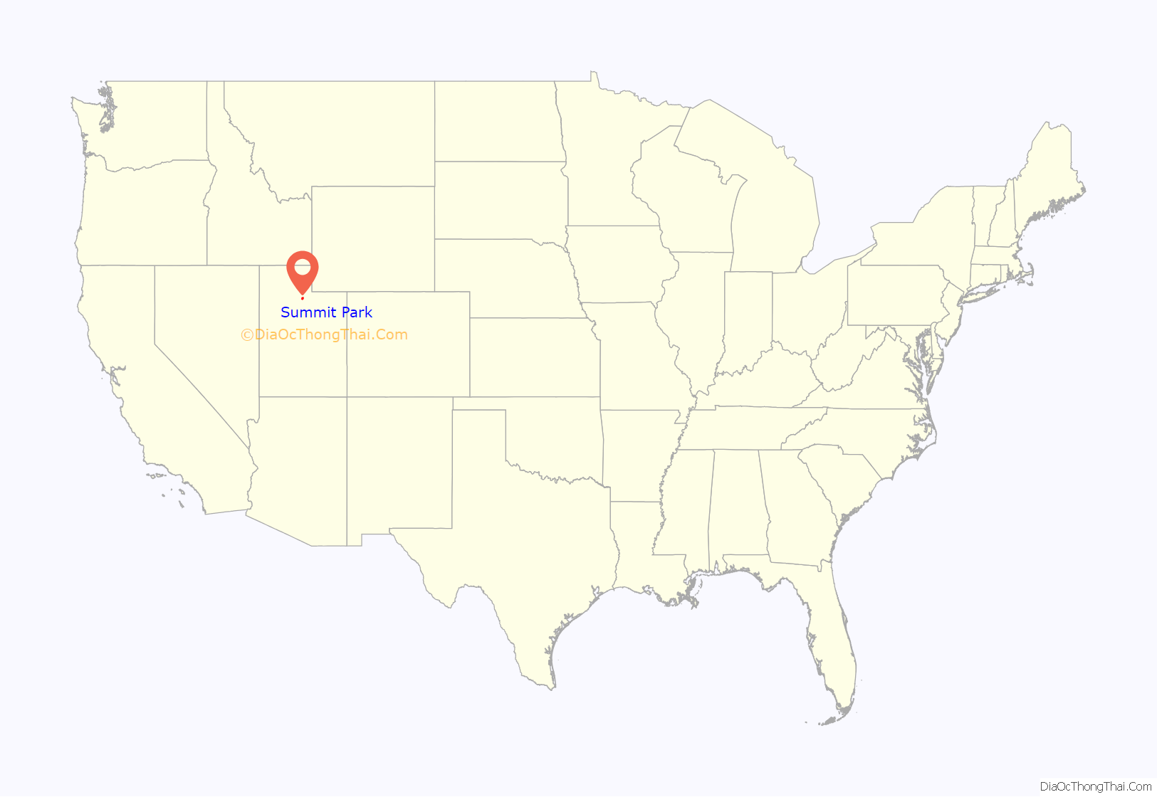
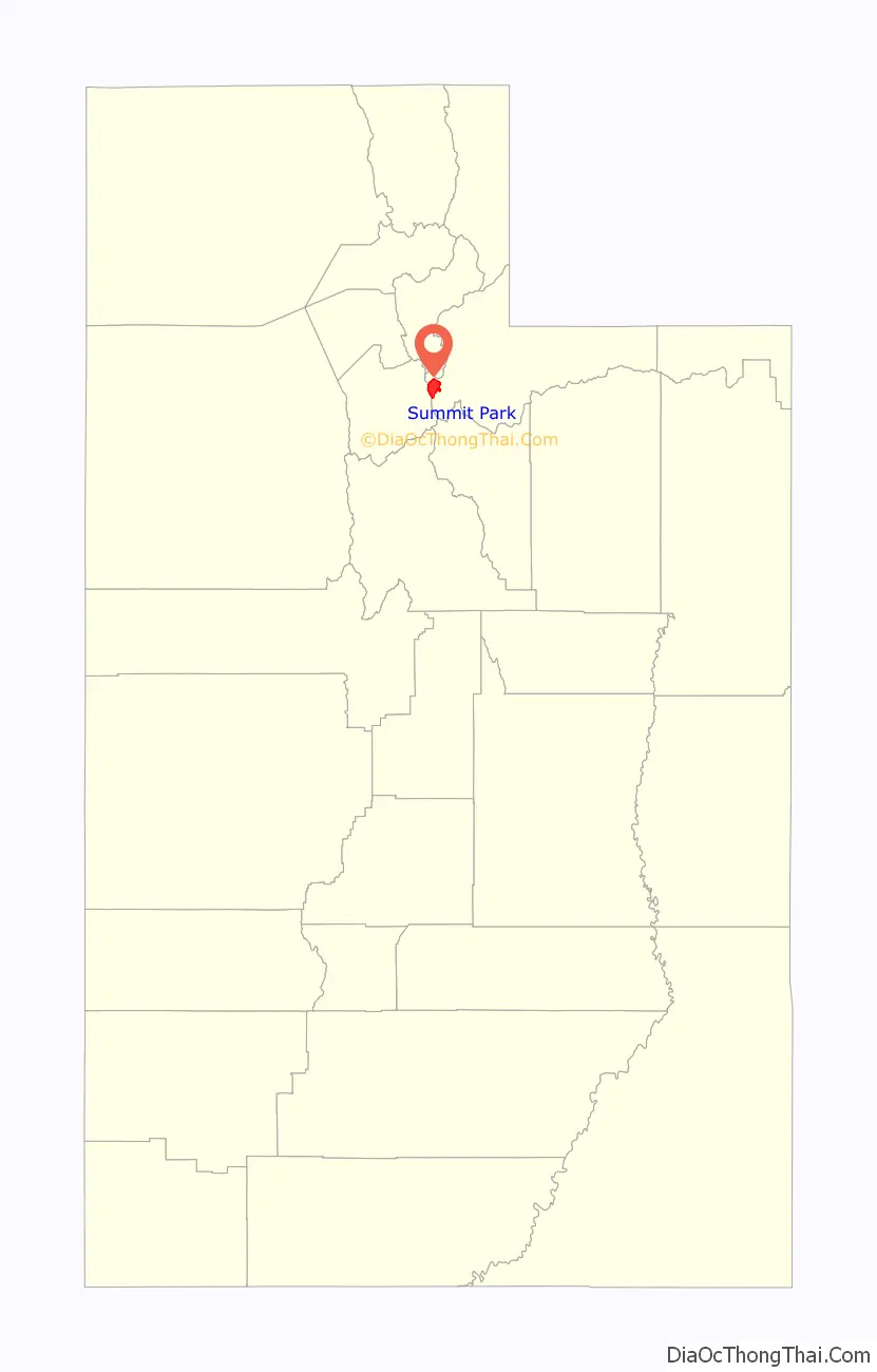
Summit Park location map. Where is Summit Park CDP?
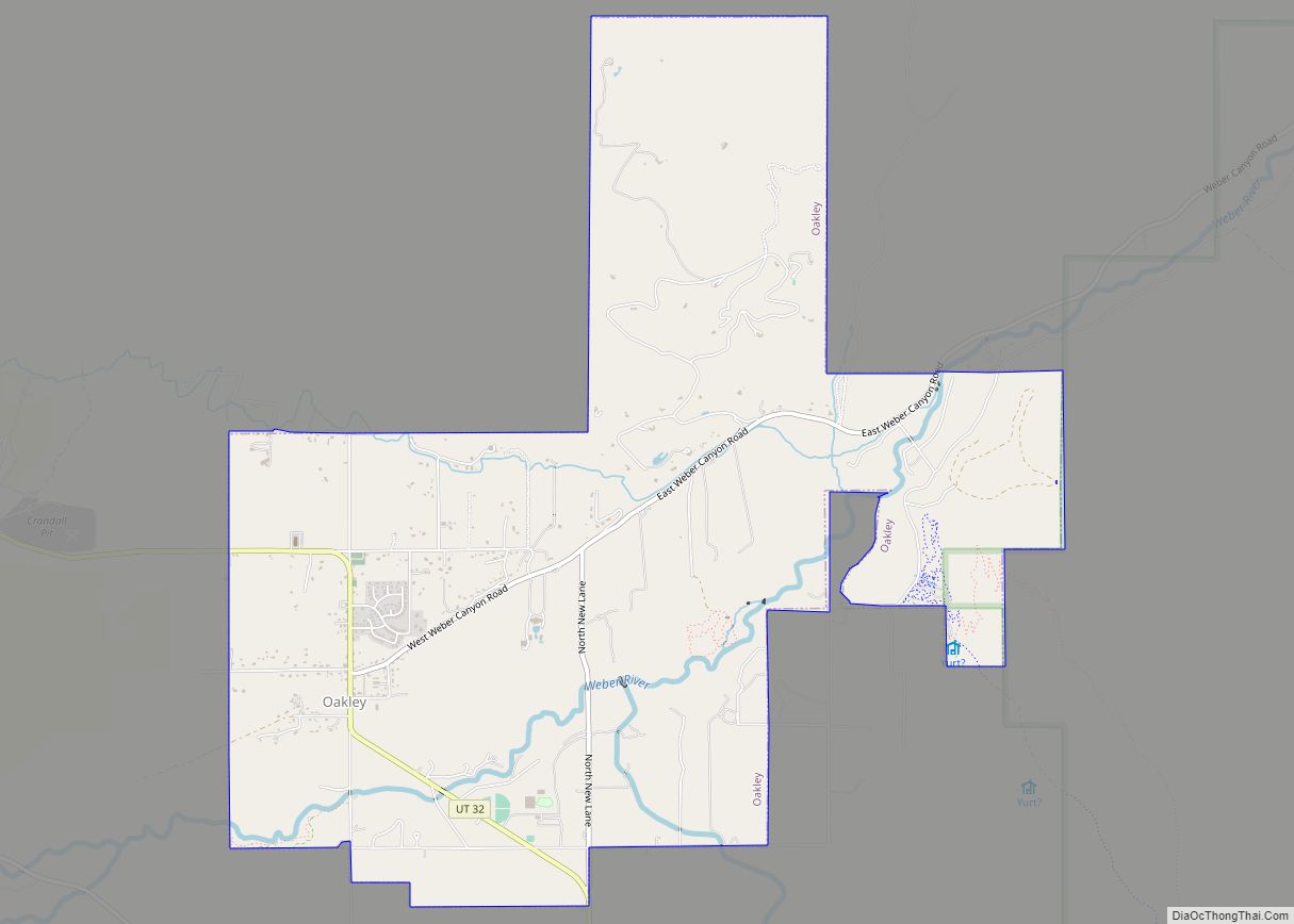
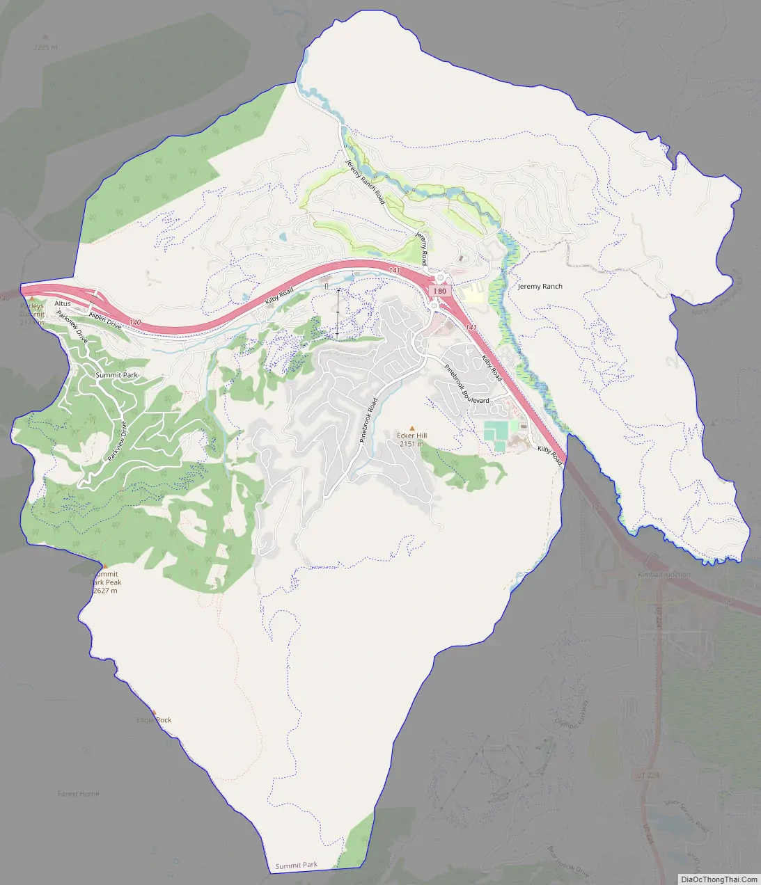
Summit Park Road Map
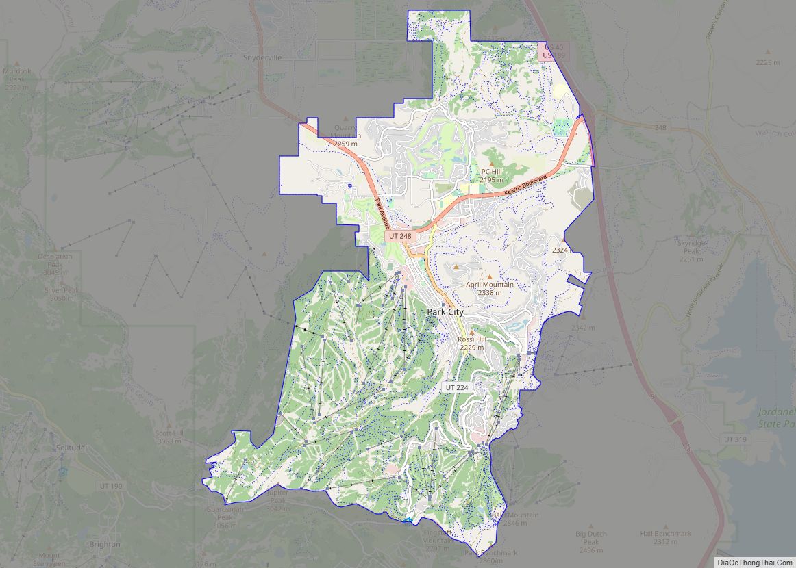
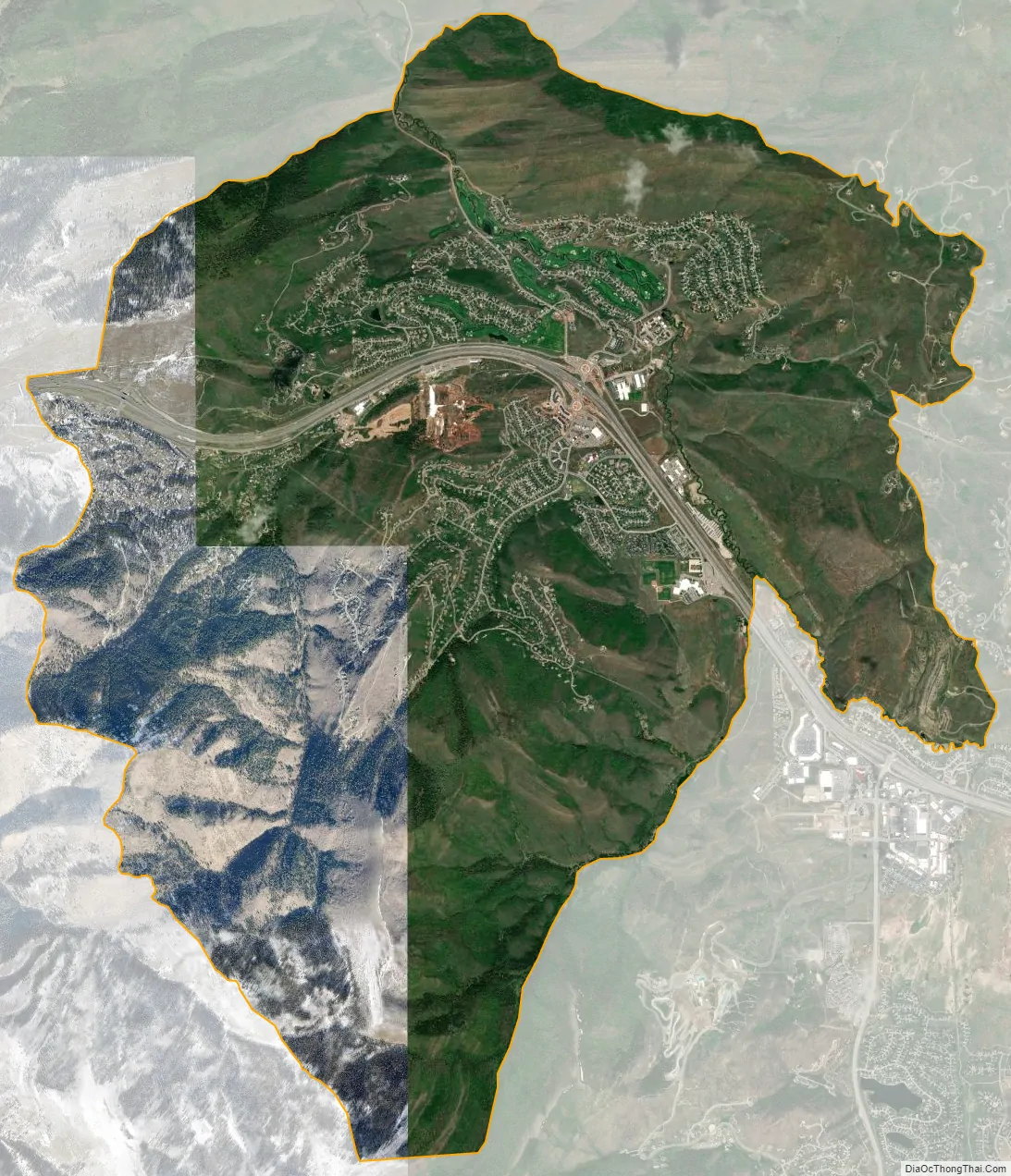
Summit Park city Satellite Map
Geography
According to the United States Census Bureau, the CDP has a total area of 21.7 square miles (56 km), all land.
Summit Park is served by Interstate 80. As a nod to the alpine surroundings, the community hosts the rare use (in the United States) of the German street suffix Strasse: Innsbruck Strasse, Saint Moritz Strasse and Zermat Strasse.
See also
Map of Utah State and its subdivision: Map of other states:- Alabama
- Alaska
- Arizona
- Arkansas
- California
- Colorado
- Connecticut
- Delaware
- District of Columbia
- Florida
- Georgia
- Hawaii
- Idaho
- Illinois
- Indiana
- Iowa
- Kansas
- Kentucky
- Louisiana
- Maine
- Maryland
- Massachusetts
- Michigan
- Minnesota
- Mississippi
- Missouri
- Montana
- Nebraska
- Nevada
- New Hampshire
- New Jersey
- New Mexico
- New York
- North Carolina
- North Dakota
- Ohio
- Oklahoma
- Oregon
- Pennsylvania
- Rhode Island
- South Carolina
- South Dakota
- Tennessee
- Texas
- Utah
- Vermont
- Virginia
- Washington
- West Virginia
- Wisconsin
- Wyoming