Torrey is a town located on State Route 24 in Wayne County, Utah, United States, 8 miles (13 km) from Capitol Reef National Park. As of the 2010 census, the town had a population of 182.
| Name: | Torrey town |
|---|---|
| LSAD Code: | 43 |
| LSAD Description: | town (suffix) |
| State: | Utah |
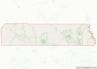
| County: | Wayne County |
| Incorporated: | 1934 |
| Elevation: | 6,837 ft (2,084 m) |
| Total Area: | 1.66 sq mi (4.31 km²) |
| Land Area: | 1.66 sq mi (4.31 km²) |
| Water Area: | 0.00 sq mi (0.00 km²) |
| Total Population: | 182 |
| Population Density: | 146.63/sq mi (56.61/km²) |
| ZIP code: | 84775 |
| Area code: | 435 |
| FIPS code: | 4977010 |
| Website: | www.torreyutah.gov |
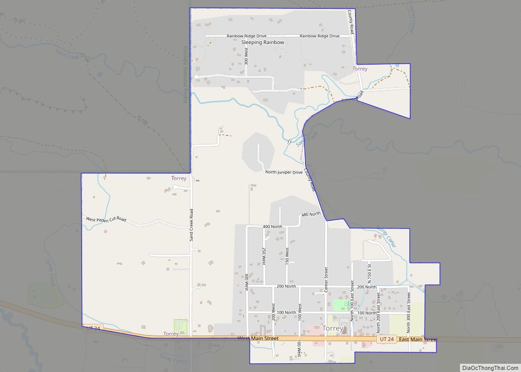
Online Interactive Map
Click on ![]() to view map in "full screen" mode.
to view map in "full screen" mode.
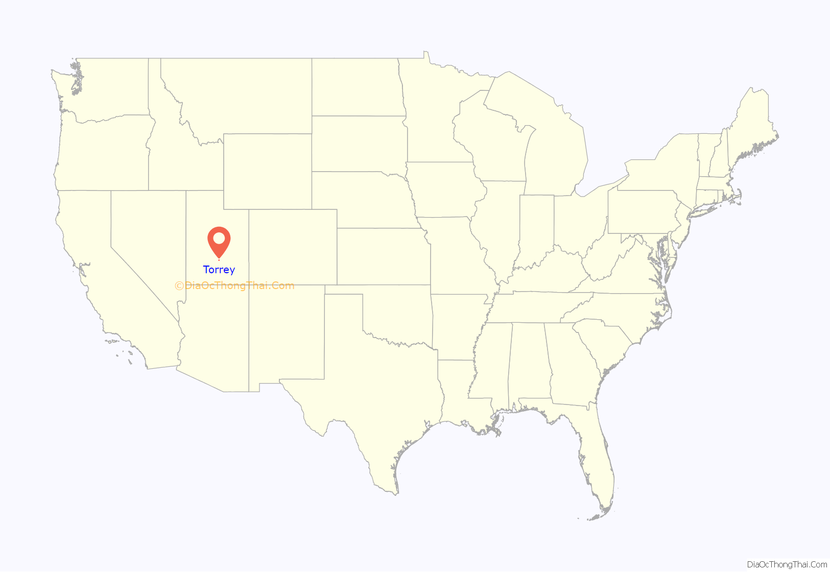
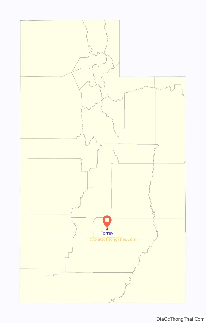
Torrey location map. Where is Torrey town?
History
The town was established in the 1880s by settlers of the Church of Jesus Christ of Latter-day Saints, and was initially known as Youngtown, after John Willard Young. The town is generally held to be named after Jay L. Torrey from Pittsfield, Illinois. Torrey was a member of the Wyoming legislature, who, upon the advent of the Spanish–American War, achieved national attention by proposing the creation of what became three volunteer cavalry regiments, made up of cowboys and stockmen. Torrey was commissioned colonel of the 2nd Regiment, the “Rocky Mountain Riders”; the 1st Regiment, the only regiment to see action, was better known as the Rough Riders.
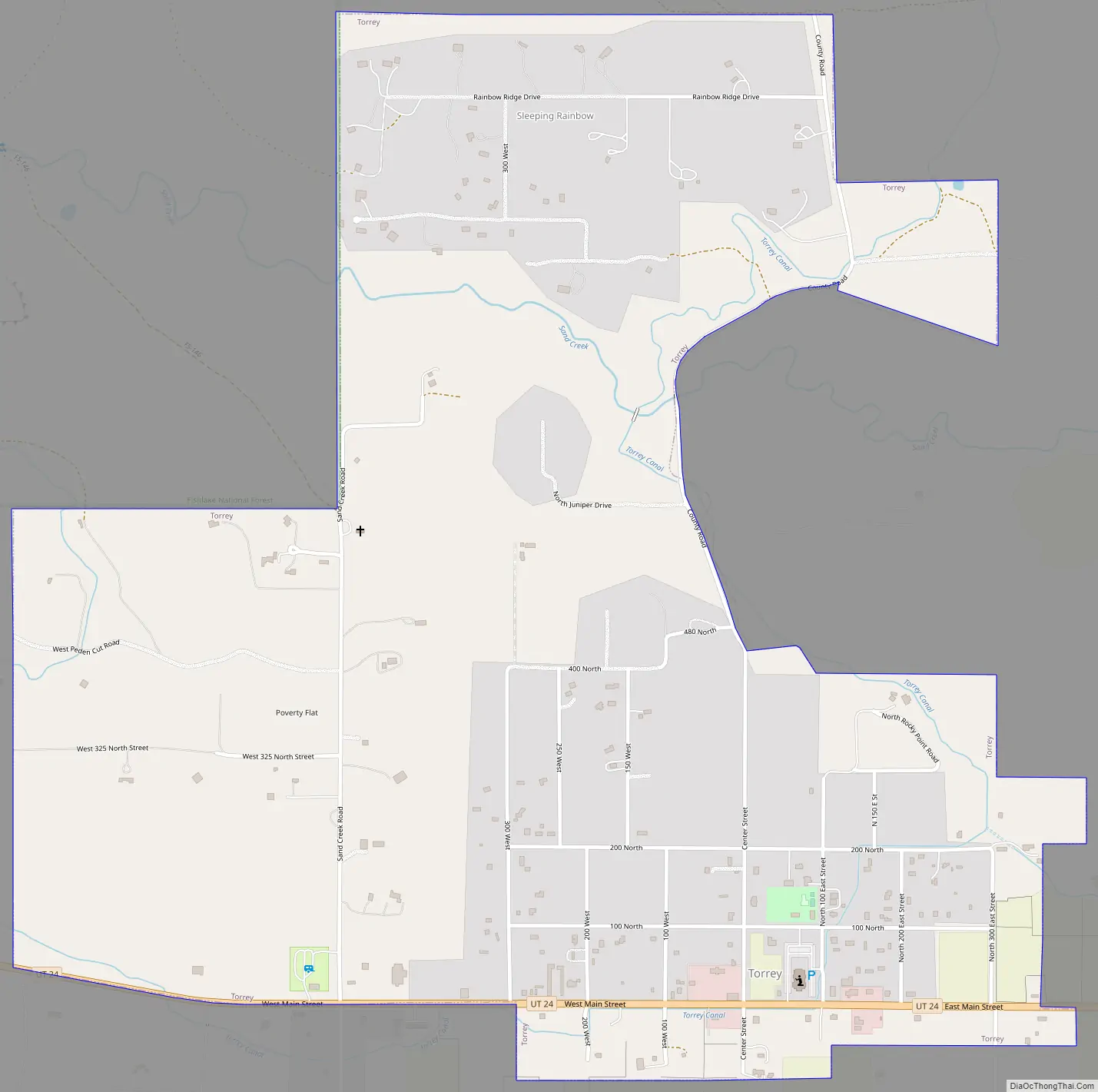
Torrey Road Map
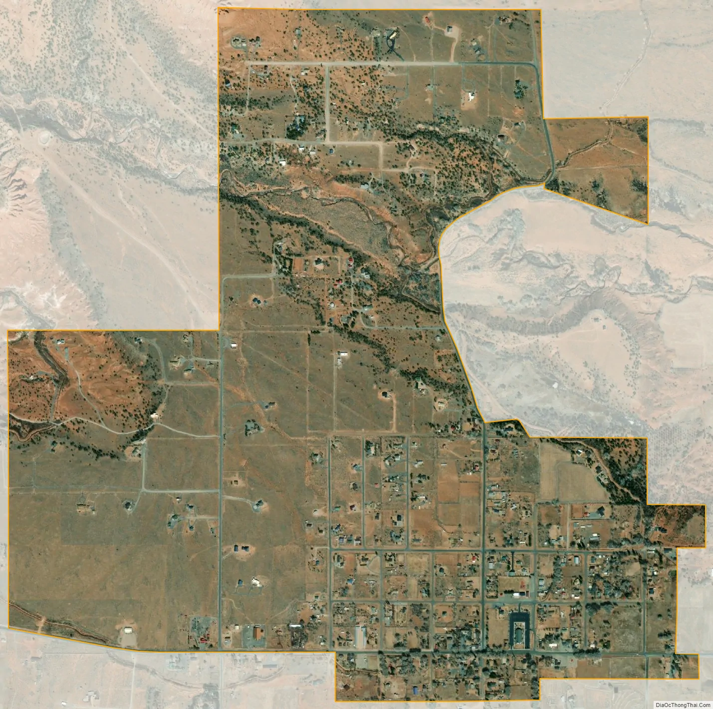
Torrey city Satellite Map
Geography
Torrey is located on the north bank of the Fremont River between Boulder Mountain to the southwest and Capitol Reef National Park to the east. Teasdale is approximately three miles to the southwest, Grover is about five miles to the southeast and Bicknell is about six miles to the northwest. Utah State Route 24 and Utah State Route 12 serve the community.
According to the United States Census Bureau, the town has a total area of 0.50 square miles (1.3 km), all land.
See also
Map of Utah State and its subdivision: Map of other states:- Alabama
- Alaska
- Arizona
- Arkansas
- California
- Colorado
- Connecticut
- Delaware
- District of Columbia
- Florida
- Georgia
- Hawaii
- Idaho
- Illinois
- Indiana
- Iowa
- Kansas
- Kentucky
- Louisiana
- Maine
- Maryland
- Massachusetts
- Michigan
- Minnesota
- Mississippi
- Missouri
- Montana
- Nebraska
- Nevada
- New Hampshire
- New Jersey
- New Mexico
- New York
- North Carolina
- North Dakota
- Ohio
- Oklahoma
- Oregon
- Pennsylvania
- Rhode Island
- South Carolina
- South Dakota
- Tennessee
- Texas
- Utah
- Vermont
- Virginia
- Washington
- West Virginia
- Wisconsin
- Wyoming