Uintah (/juːˈɪntə/ yoo-IN-tə) is a city in Weber County, Utah, United States. The population was 1,322 at the 2010 census. It is part of the Ogden–Clearfield, Utah Metropolitan Statistical Area. Although Uintah was a town in 2000, it has since been classified as a fifth-class city by state law.
| Name: | Uintah town |
|---|---|
| LSAD Code: | 43 |
| LSAD Description: | town (suffix) |
| State: | Utah |
| County: | Weber County |
| Incorporated: | 1937 |
| Elevation: | 4,537 ft (1,383 m) |
| Total Area: | 1.25 sq mi (3.23 km²) |
| Land Area: | 1.24 sq mi (3.22 km²) |
| Water Area: | 0.01 sq mi (0.02 km²) |
| Total Population: | 1,322 |
| Population Density: | 1,089.37/sq mi (420.76/km²) |
| ZIP code: | 84403, 84405 |
| Area code: | 385, 801 |
| FIPS code: | 4977890 |
| GNISfeature ID: | 1446835 |
| Website: | www.uintahcity.com |
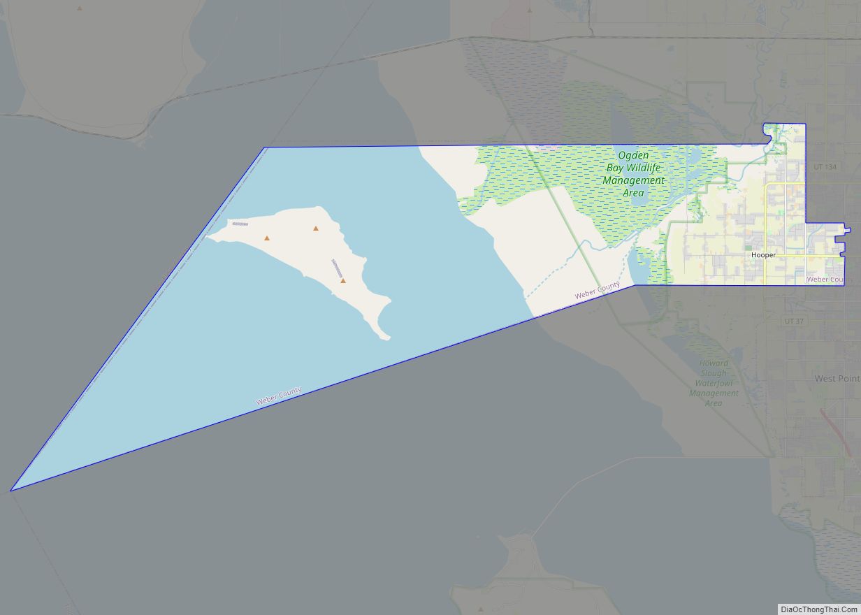
Online Interactive Map
Click on ![]() to view map in "full screen" mode.
to view map in "full screen" mode.
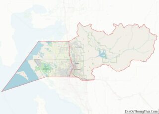
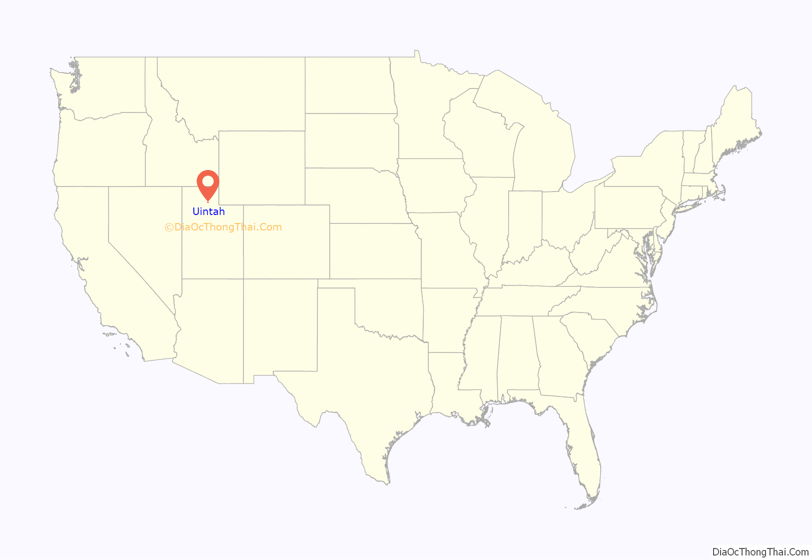
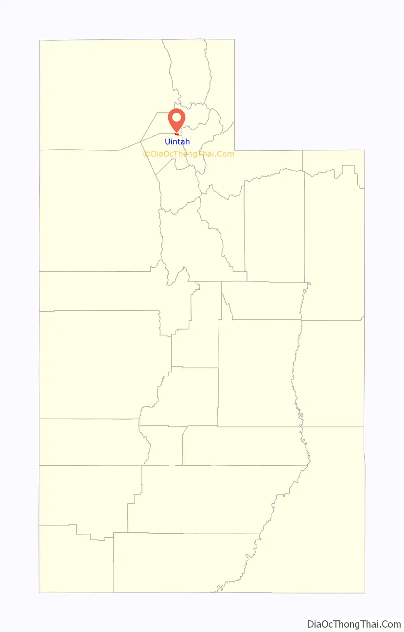
Uintah location map. Where is Uintah town?
History
Long before the first Anglo-Europeans came to Utah, the Uintah area was a favorite camping and hunting ground for Native Americans as they traveled through Weber Canyon. Archeological work has revealed Native American presence dating back at least 5,000 years. In fact, Uintah is named after the Weber Ute Band of Shoshone Indians which occupied the area at the time of white settlement.
The city was established in 1850.
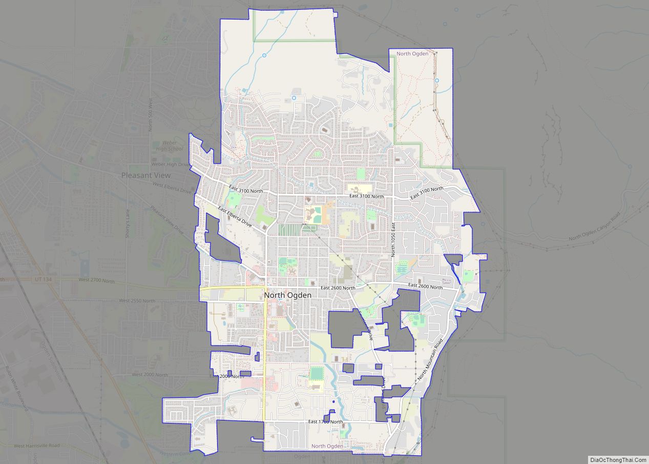
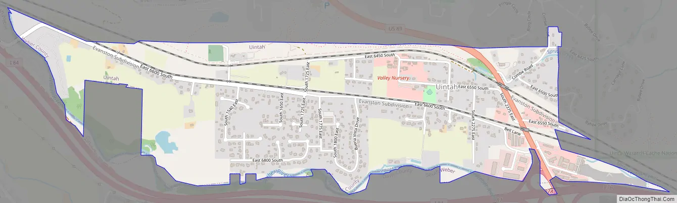
Uintah Road Map
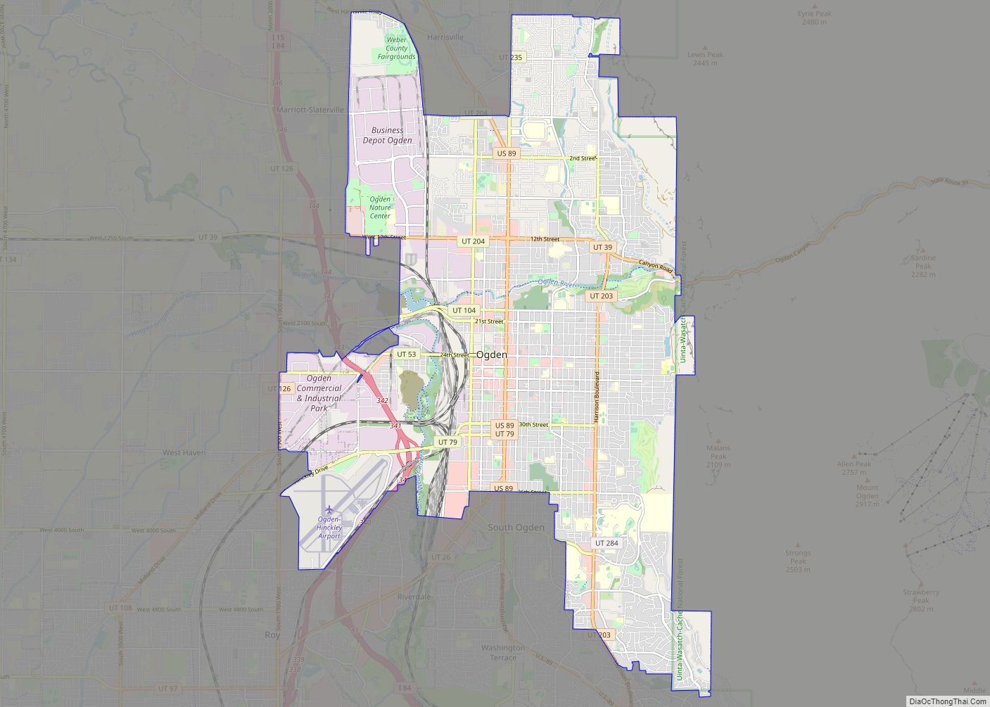
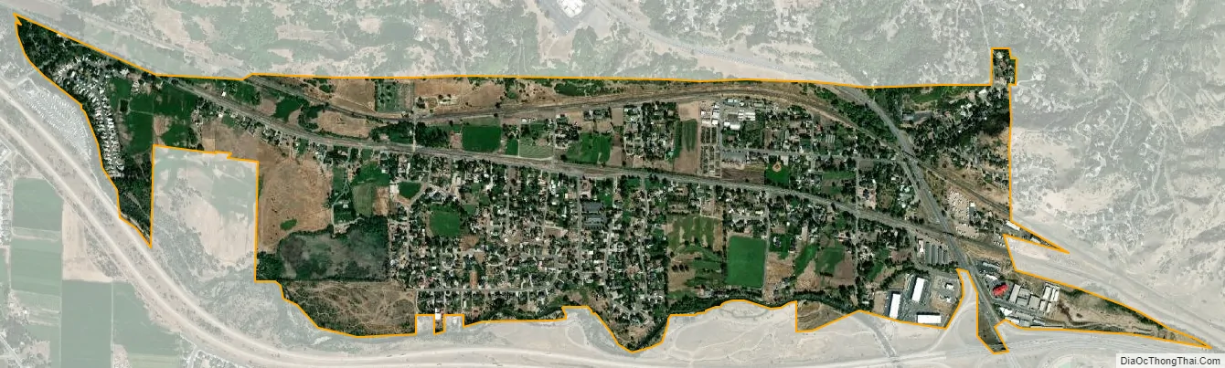
Uintah city Satellite Map
Geography
Uintah is located at the mouth of Weber Canyon, 5 miles (8.0 km) south of Ogden and 25 miles (40 km) north of Salt Lake City. It is bordered by the Weber River on the south and west, by the Uintah Bench on the north, and the Wasatch Mountains on the east. The town occupies approximately three square miles in an area noted for frequent east winds out of Weber Canyon. According to the United States Census Bureau, the city has a total area of 1.0 square mile (2.6 km), all land.
Climate
This climatic region is typified by large seasonal temperature differences, with warm to hot (and often humid) summers and cold (sometimes severely cold) winters. According to the Köppen Climate Classification system, Uintah has a humid continental climate, abbreviated “Dfb” on climate maps.
See also
Map of Utah State and its subdivision: Map of other states:- Alabama
- Alaska
- Arizona
- Arkansas
- California
- Colorado
- Connecticut
- Delaware
- District of Columbia
- Florida
- Georgia
- Hawaii
- Idaho
- Illinois
- Indiana
- Iowa
- Kansas
- Kentucky
- Louisiana
- Maine
- Maryland
- Massachusetts
- Michigan
- Minnesota
- Mississippi
- Missouri
- Montana
- Nebraska
- Nevada
- New Hampshire
- New Jersey
- New Mexico
- New York
- North Carolina
- North Dakota
- Ohio
- Oklahoma
- Oregon
- Pennsylvania
- Rhode Island
- South Carolina
- South Dakota
- Tennessee
- Texas
- Utah
- Vermont
- Virginia
- Washington
- West Virginia
- Wisconsin
- Wyoming