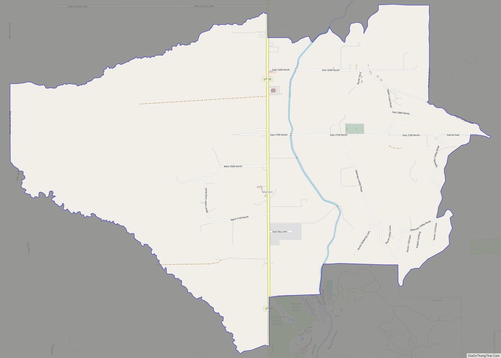
Wanship (/ˈwɑːnʃɪp/ WAHN-ship) is a census-designated place in Summit County, Utah, United States. The population was 400 at the 2010 census.
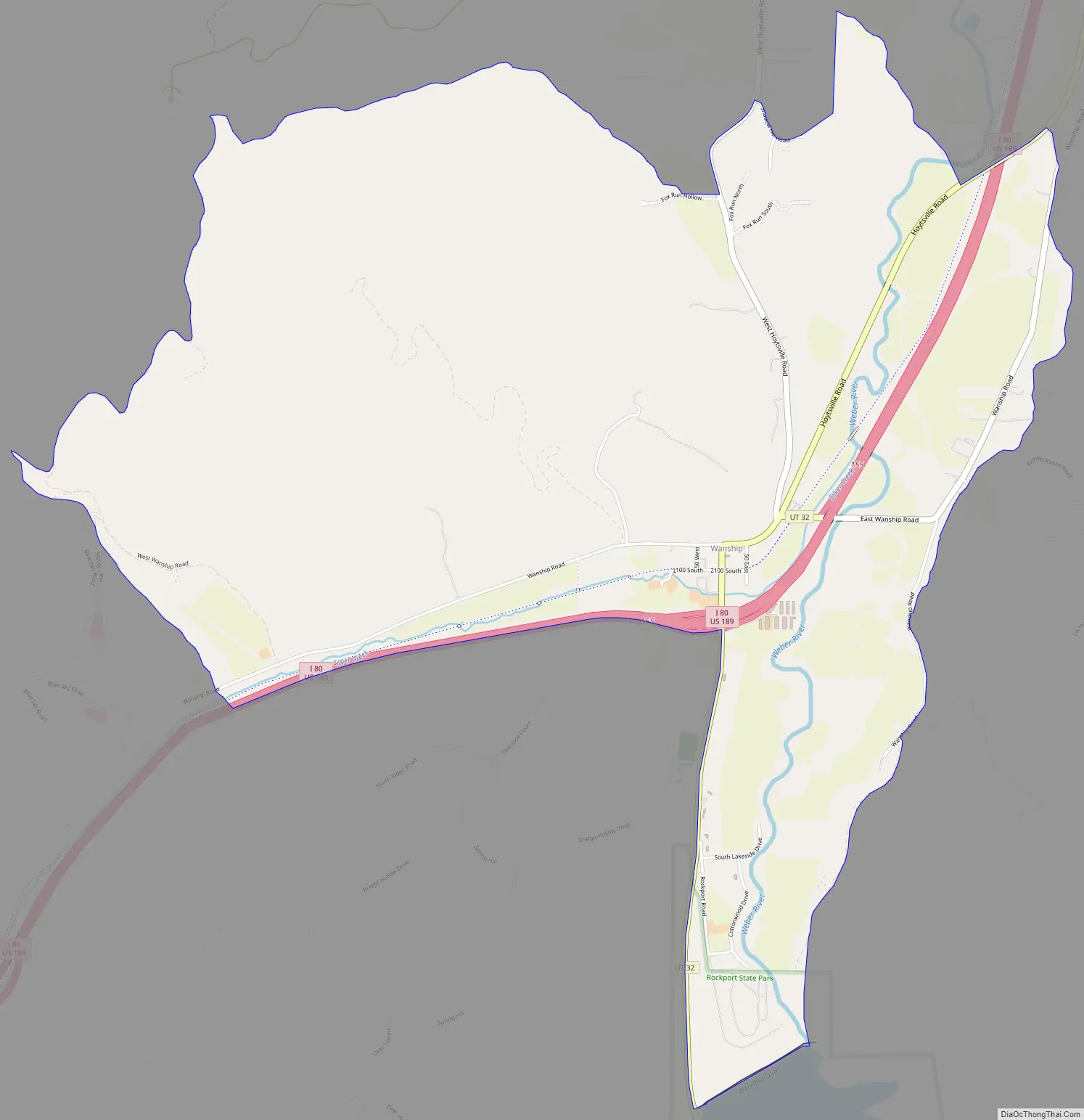
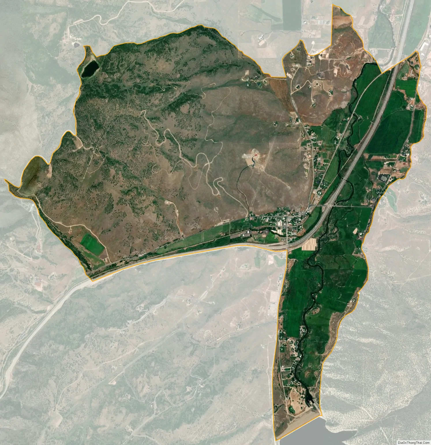
Wanship is located at the intersection of Interstate 80 and Utah State Route 32, at the junction of Silver Creek and the Weber River. It is 37 miles (60 km) from Salt Lake City, and 8 miles (13 km) from Coalville. The town lies at an elevation of 5,925 feet (1,806 m).
| Name: | Wanship CDP |
|---|---|
| LSAD Code: | 57 |
| LSAD Description: | CDP (suffix) |
| State: | Utah |
| County: | Summit County |
| Elevation: | 5,925 ft (1,806 m) |
| Total Area: | 400 |
| FIPS code: | 4981190 |
| GNISfeature ID: | 2584781 |
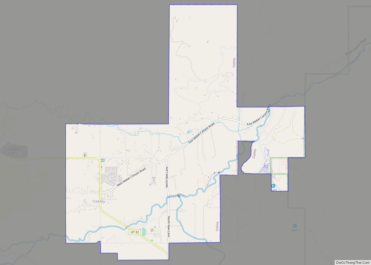
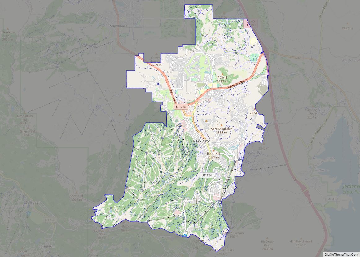
Online Interactive Map
Click on ![]() to view map in "full screen" mode.
to view map in "full screen" mode.
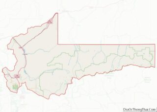
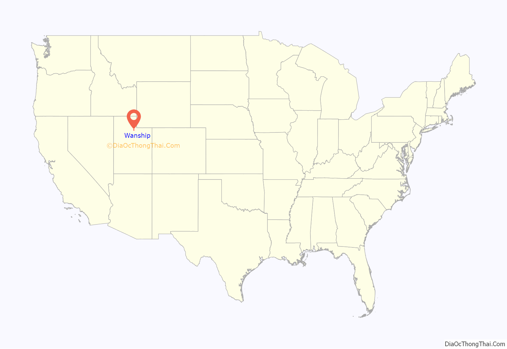
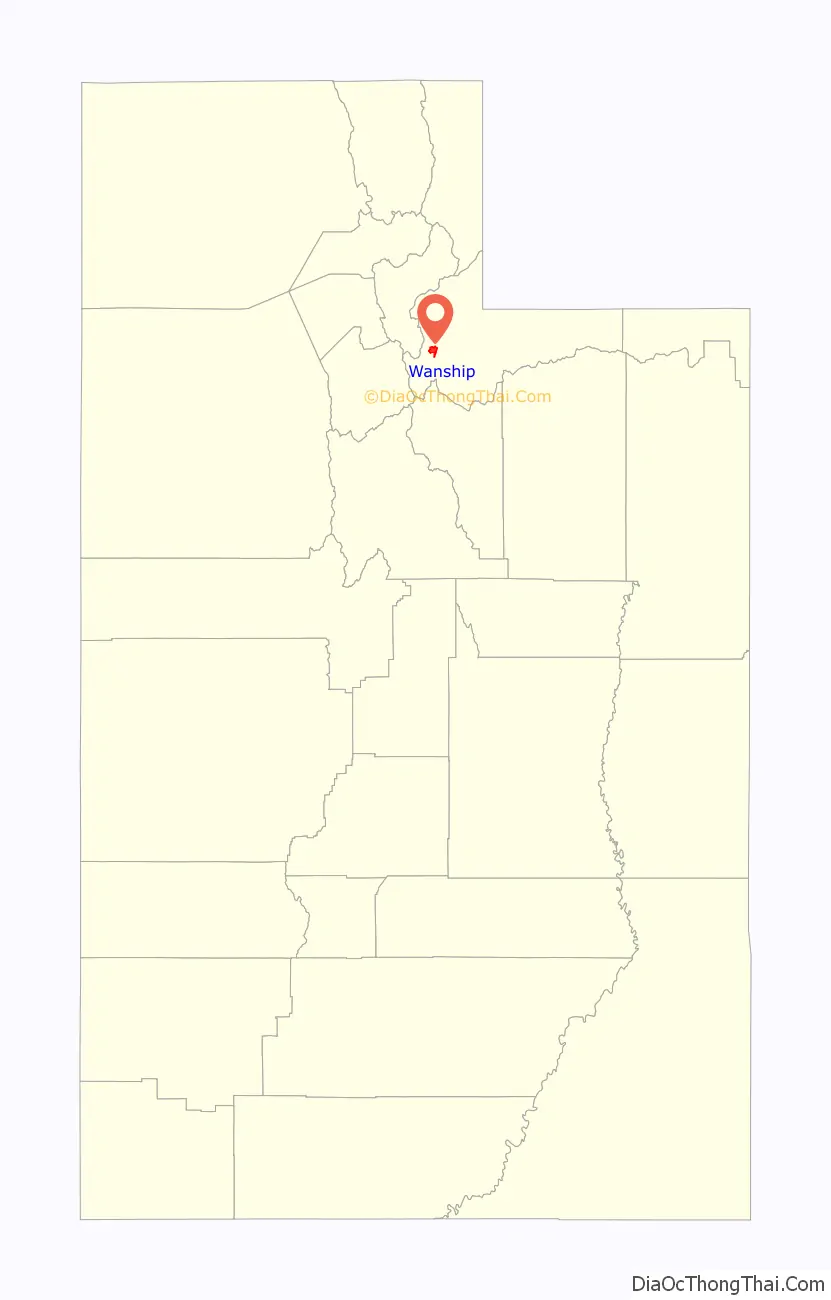
Wanship location map. Where is Wanship CDP?
History
Wanship was founded in 1859 by Stephen Nixon and Henry Roper, who were joined by other settlers over the next two years. In 1861, 300 Native Americans settled in the area. The sudden population increase made attempting to gather food in the area difficult. A friendly Ute, Chief Wanship, helped the non-native settlers to find game, locate edible plants, and trade with the Indians. In return, the town was named for him. Farming in the area included rye, barley, wheat, and alfalfa. The town also served as a local commodity hub, as coal from Coalville, silver from Park City, and lumber from Kamas passed through. In 1862 an overland stage stop, called the Kimballs Stage Station, opened in Wanship. Due to its central location, Wanship became the first county seat of Summit County, from the formation of the county government in 1866 until Coalville became county seat in 1872.
The first two-story home built by Thomas Albert Smith, in Summit County was built in Wanship, and has since been relocated to Pioneer Village in Lagoon Amusement Park.
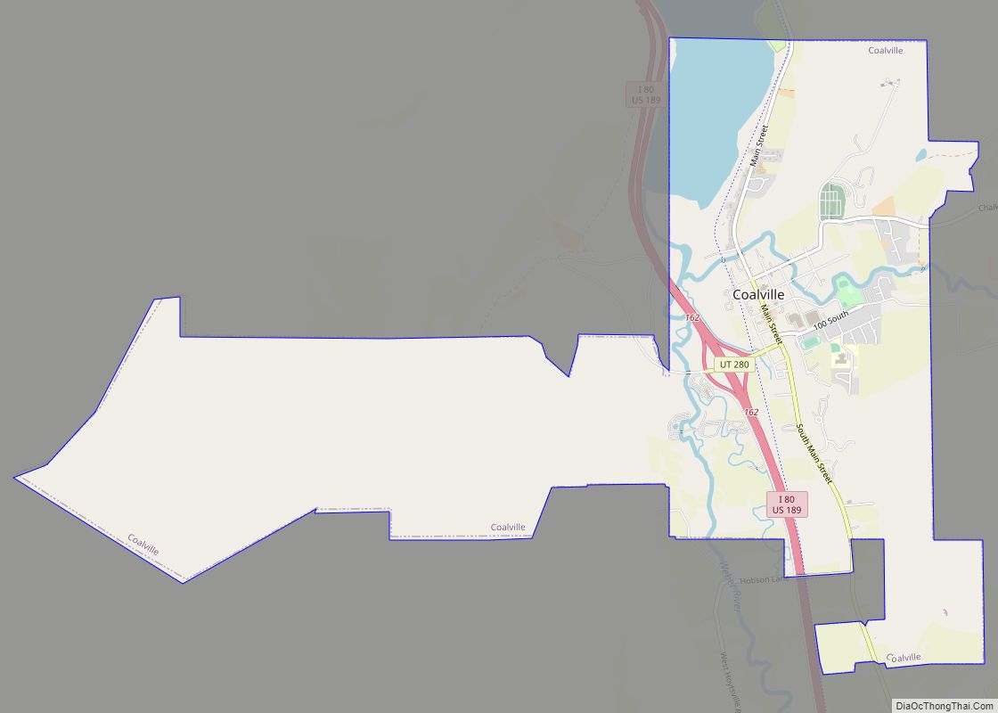
Wanship Road Map
Wanship city Satellite Map
See also
Map of Utah State and its subdivision: Map of other states:- Alabama
- Alaska
- Arizona
- Arkansas
- California
- Colorado
- Connecticut
- Delaware
- District of Columbia
- Florida
- Georgia
- Hawaii
- Idaho
- Illinois
- Indiana
- Iowa
- Kansas
- Kentucky
- Louisiana
- Maine
- Maryland
- Massachusetts
- Michigan
- Minnesota
- Mississippi
- Missouri
- Montana
- Nebraska
- Nevada
- New Hampshire
- New Jersey
- New Mexico
- New York
- North Carolina
- North Dakota
- Ohio
- Oklahoma
- Oregon
- Pennsylvania
- Rhode Island
- South Carolina
- South Dakota
- Tennessee
- Texas
- Utah
- Vermont
- Virginia
- Washington
- West Virginia
- Wisconsin
- Wyoming