Ambler (Inupiaq: Ivisaappaat, IPA: [ivisaːpːaːt]) is a city in Northwest Arctic Borough, Alaska, United States. At the 2010 census the population was 258, down from 309 in 2000. The city is located in the large Iñupiaq language speaking region of Alaska, and the local dialect is known as the Ambler dialect (related to the Shugnak dialect). As of 1999, over 91% of the community speaks and understands the language (Kraus, 1999), with many young children actively learning the language in school. It has important relationships with the “hub” city of Kotzebue, Alaska and has important relationships with Maniilaq Health Association.
| Name: | Ambler city |
|---|---|
| LSAD Code: | 25 |
| LSAD Description: | city (suffix) |
| State: | Alaska |
| County: | Northwest Arctic Borough |
| Incorporated: | March 26, 1971 |
| Elevation: | 79 ft (24 m) |
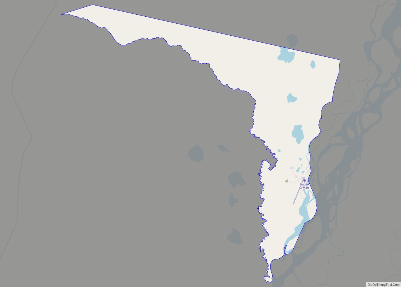
| Total Area: | 11.85 sq mi (30.68 km²) |
| Land Area: | 10.28 sq mi (26.62 km²) |
| Water Area: | 1.57 sq mi (4.06 km²) |
| Total Population: | 274 |
| Population Density: | 26.66/sq mi (10.29/km²) |
| ZIP code: | 99786 |
| Area code: | 907 |
| FIPS code: | 0201970 |
| GNISfeature ID: | 1412509 |
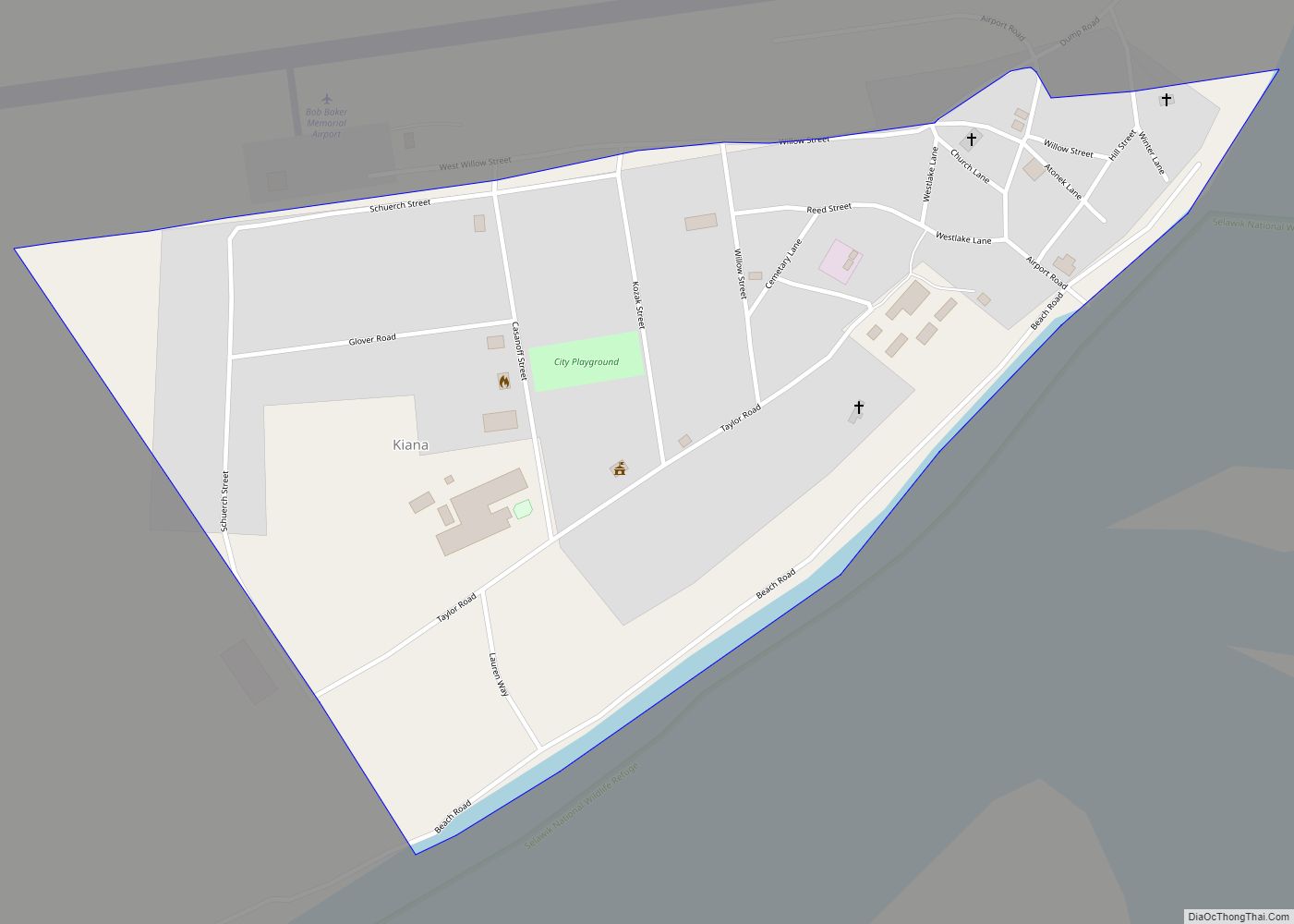
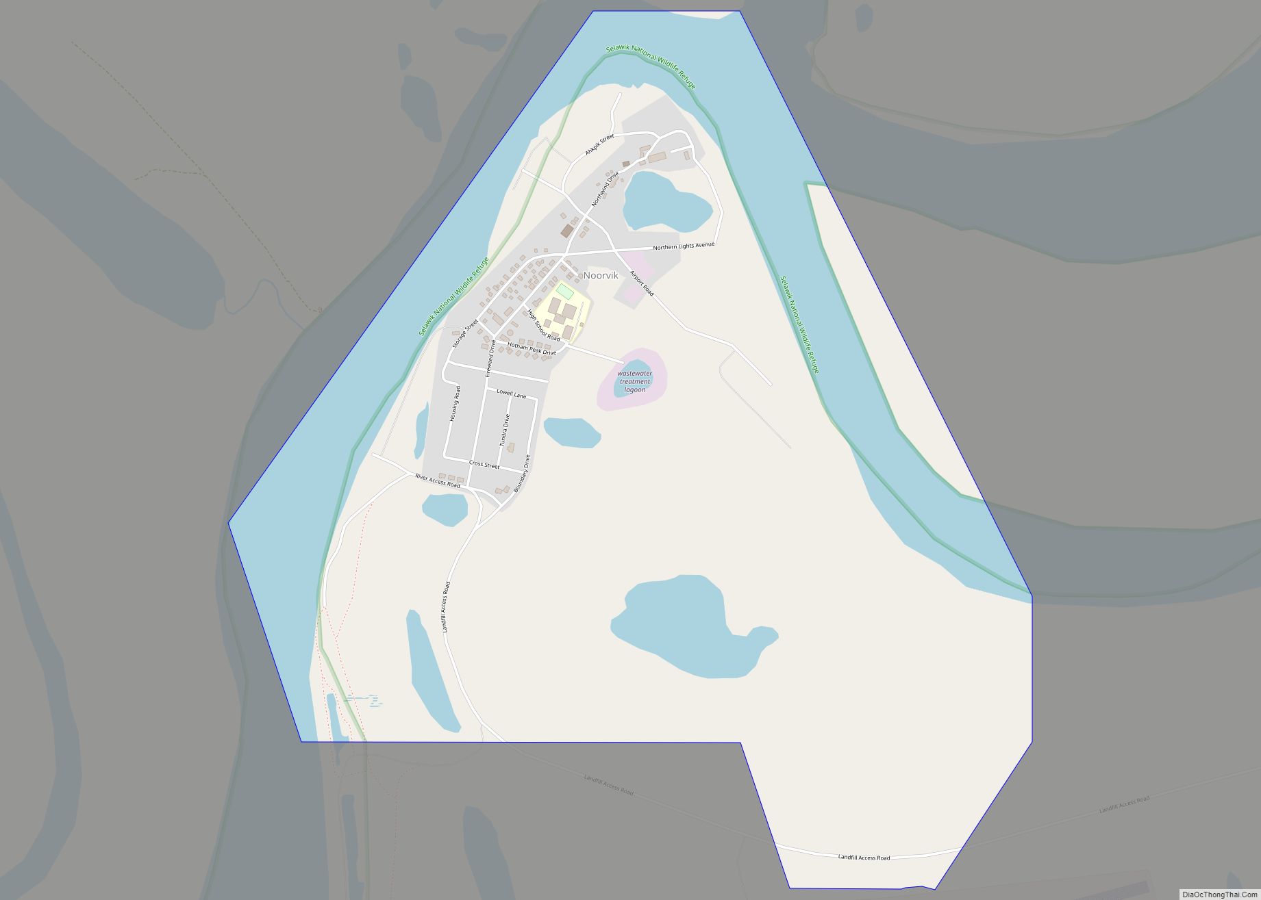
Online Interactive Map
Click on ![]() to view map in "full screen" mode.
to view map in "full screen" mode.
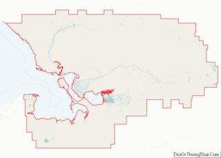
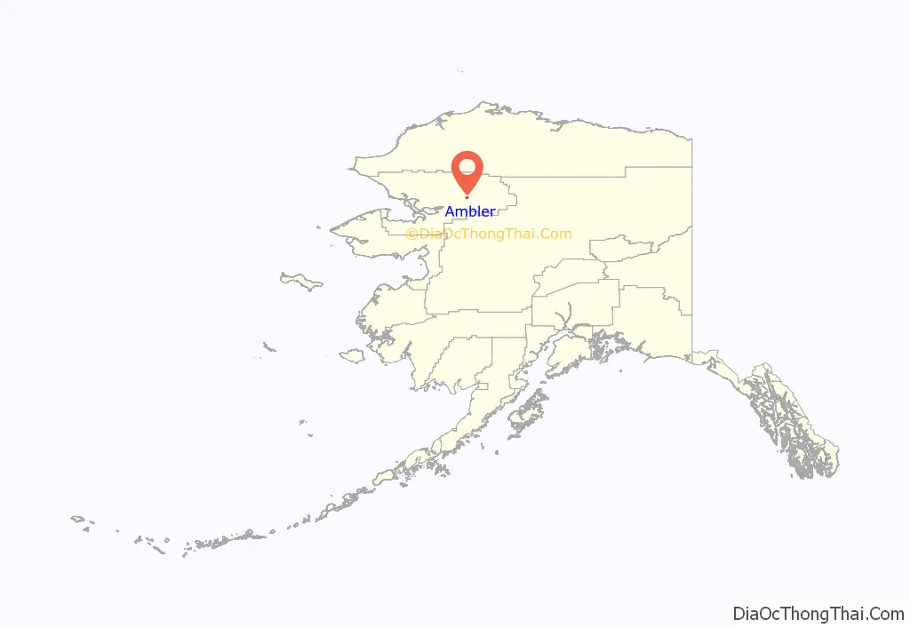
Ambler location map. Where is Ambler city?
History
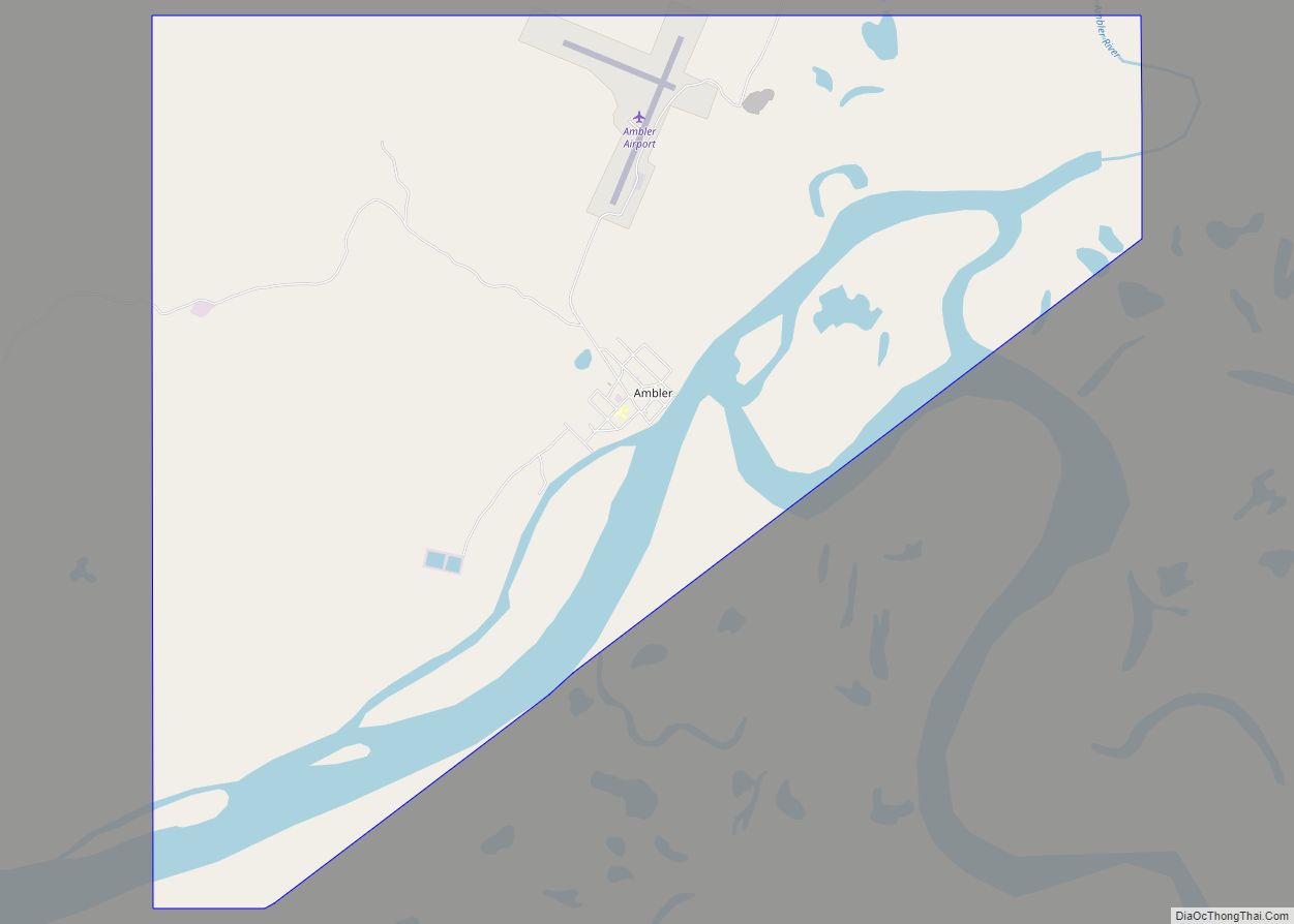
The community was named for a tributary of the Kobuk River, which was named for Dr. James M. Ambler, who died of starvation after his ship was trapped in the Arctic ice in 1881. Ambler was permanently settled in 1958 when people from Shungnak and Kobuk moved downstream because of the variety of fish, wild game and spruce trees in the area. An archaeological site is located nearby at Onion Portage. A post office was established in 1963. The city was incorporated in 1971. The story of the prophet Maniilaq states that he predicted in the future a great whale would swim upriver and arrive at Ambler.
Ambler Road Map
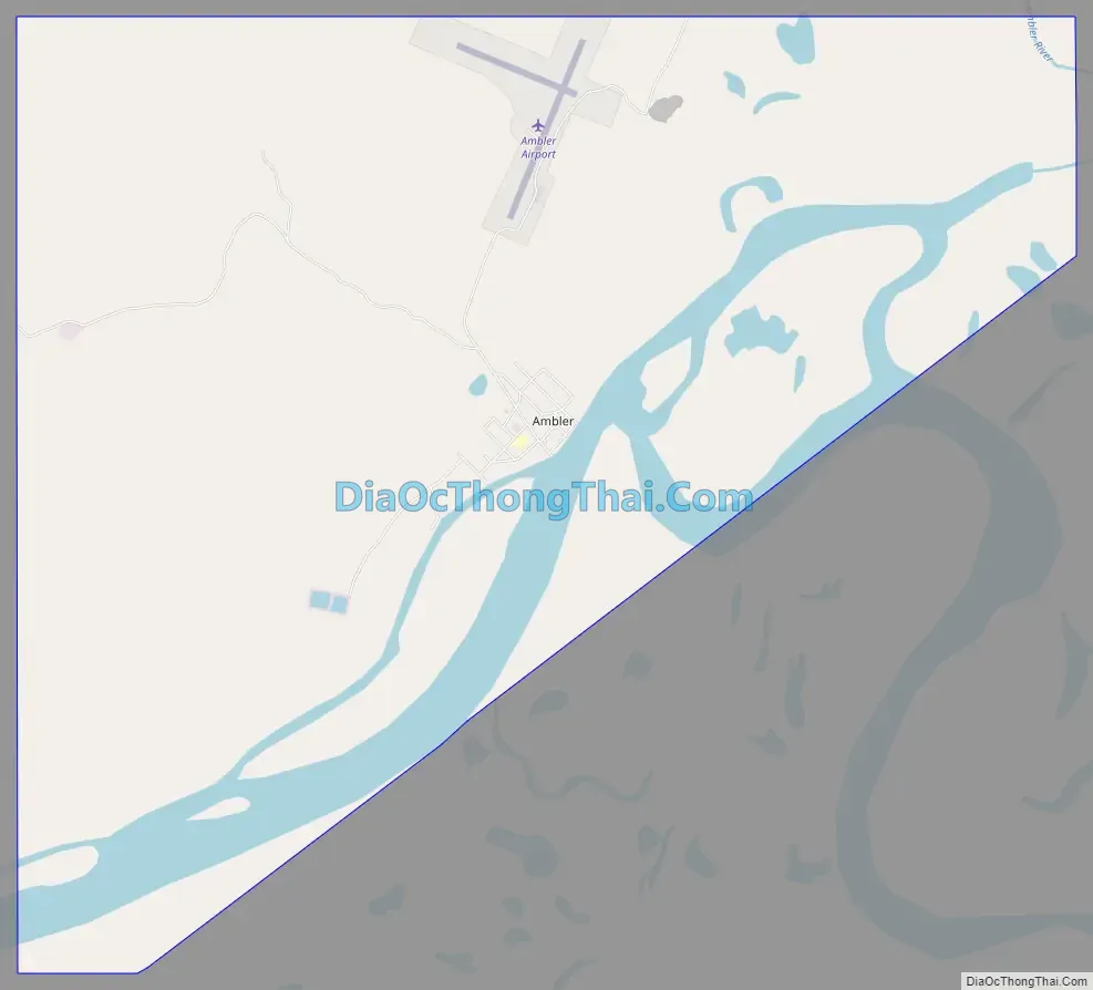
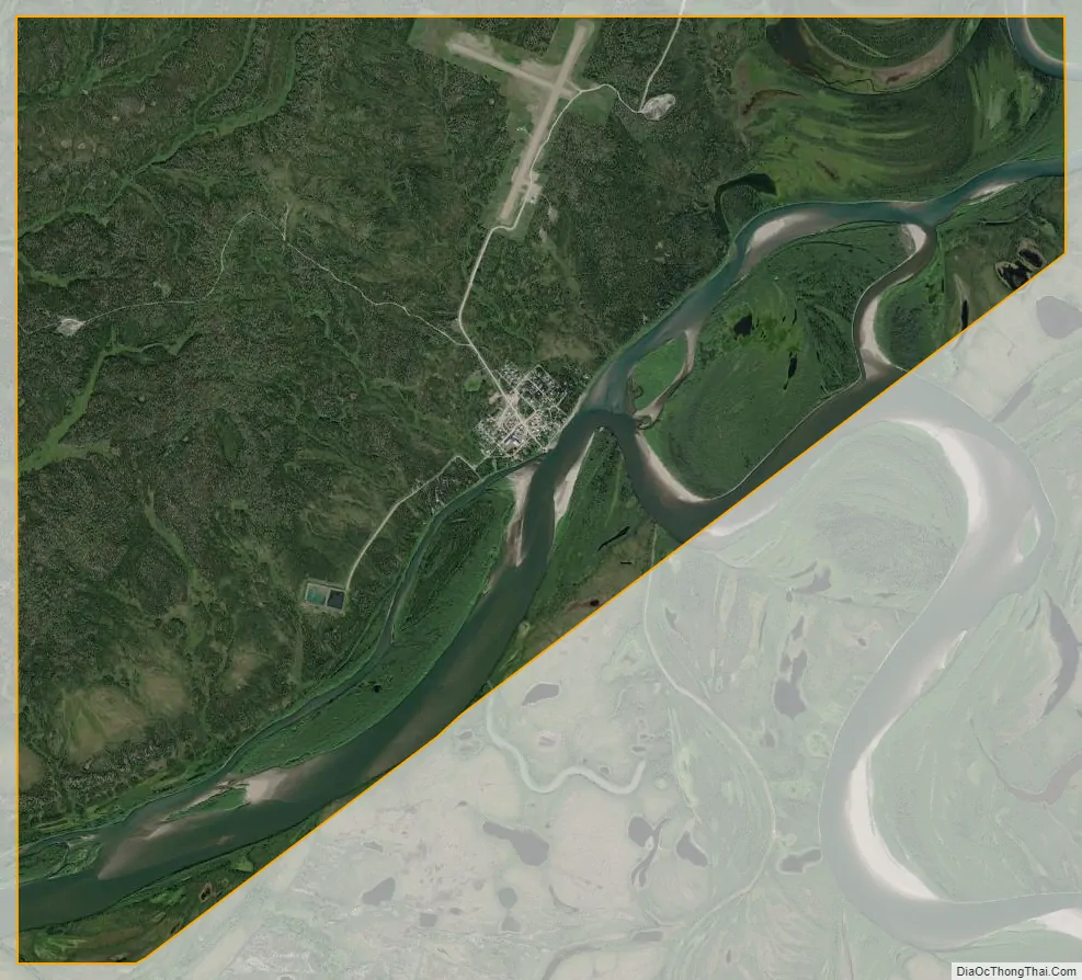
Ambler city Satellite Map
Geography
Ambler is located at 67°05′06″N 157°51′37″W / 67.085000°N 157.860331°W / 67.085000; -157.860331, on the north bank of the Kobuk River, near the confluence of the Ambler and the Kobuk Rivers. It lies 45 miles north of the Arctic Circle. It is 138 miles northeast of Kotzebue, 30 miles northwest of Kobuk and 30 miles downriver from Shungnak. Ambler is located in the Kotzebue Recording District.
According to the United States Census Bureau, the city has a total area of 10.8 square miles (28 km). 9.5 square miles (25 km) of it is land and 1.3 square miles (3.4 km) of it (11.91%) is water.
See also
Map of Alaska State and its subdivision:- Aleutians East
- Aleutians West
- Anchorage
- Bethel
- Bristol Bay
- Denali
- Dillingham
- Fairbanks North Star
- Haines
- Juneau
- Kenai Peninsula
- Ketchikan Gateway
- Kodiak Island
- Lake and Peninsula
- Matanuska-Susitna
- Nome
- North Slope
- Northwest Arctic
- Prince of Wales-Outer Ketchi
- Sitka
- Skagway-Yakutat-Angoon
- Southeast Fairbanks
- Valdez-Cordova
- Wade Hampton
- Wrangell-Petersburg
- Yukon-Koyukuk
- Alabama
- Alaska
- Arizona
- Arkansas
- California
- Colorado
- Connecticut
- Delaware
- District of Columbia
- Florida
- Georgia
- Hawaii
- Idaho
- Illinois
- Indiana
- Iowa
- Kansas
- Kentucky
- Louisiana
- Maine
- Maryland
- Massachusetts
- Michigan
- Minnesota
- Mississippi
- Missouri
- Montana
- Nebraska
- Nevada
- New Hampshire
- New Jersey
- New Mexico
- New York
- North Carolina
- North Dakota
- Ohio
- Oklahoma
- Oregon
- Pennsylvania
- Rhode Island
- South Carolina
- South Dakota
- Tennessee
- Texas
- Utah
- Vermont
- Virginia
- Washington
- West Virginia
- Wisconsin
- Wyoming