Noatak (Inupiaq: Nuataaq) is a census-designated place (CDP) in the Northwest Arctic Borough in the U.S. state of Alaska. The population was 570 at the 2020 census, up from 514 in 2010. It is served by Noatak Airport.
| Name: | Noatak CDP |
|---|---|
| LSAD Code: | 57 |
| LSAD Description: | CDP (suffix) |
| State: | Alaska |
| County: | Northwest Arctic Borough |
| Total Area: | 16.85 sq mi (43.65 km²) |
| Land Area: | 16.03 sq mi (41.52 km²) |
| Water Area: | 0.82 sq mi (2.13 km²) |
| Total Population: | 570 |
| Population Density: | 35.55/sq mi (13.73/km²) |
| ZIP code: | 99761 |
| Area code: | 907 |
| FIPS code: | 0254700 |
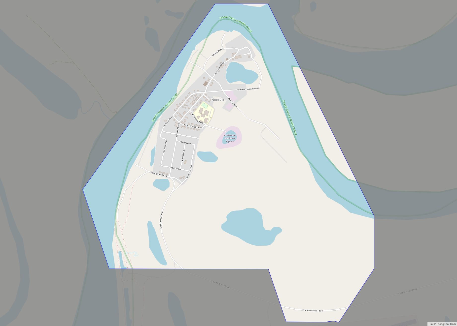
Online Interactive Map
Click on ![]() to view map in "full screen" mode.
to view map in "full screen" mode.
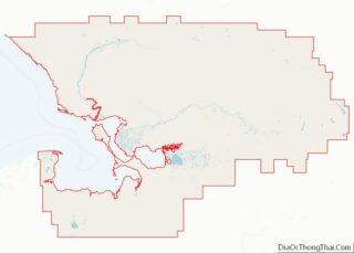
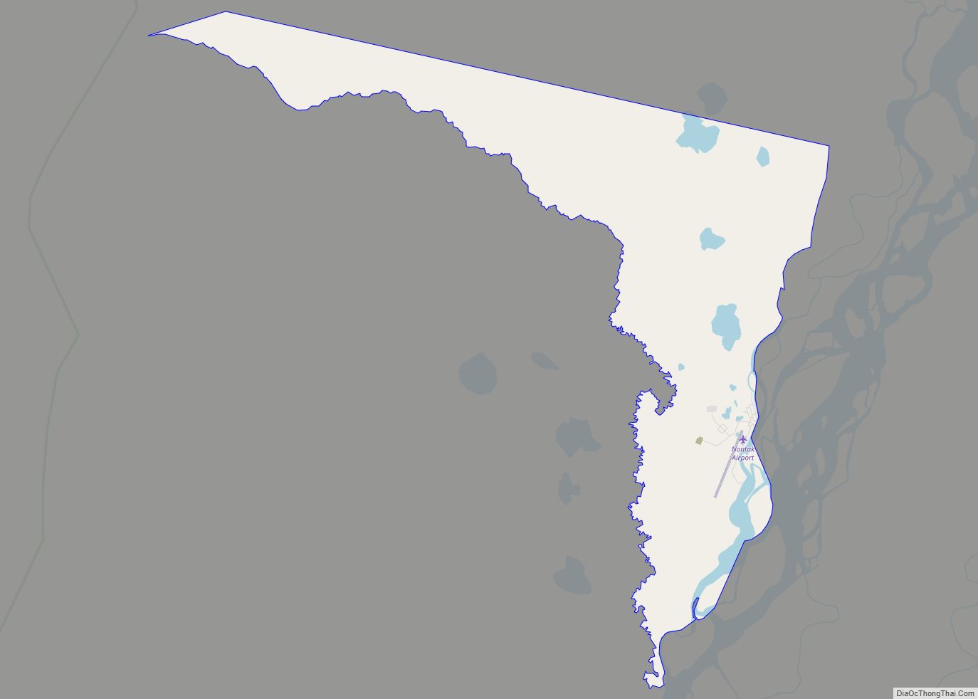
Noatak location map. Where is Noatak CDP?

History
Noatak was established as a fishing and hunting camp in the 1800s. Two identifiable groups of Inupiat resided on the Noatak River. The Nautaaġmiut (called “Noatagamut” in the 1880 census), Inupiaq for “inland river people”, lived upriver, and the Napaaqtuġmiut, meaning “people of the trees”, lived downriver. By the early 20th century, the missionaries Robert and Carrie Samms settled in what they called “Noatak”. A United States post office was established in 1940.
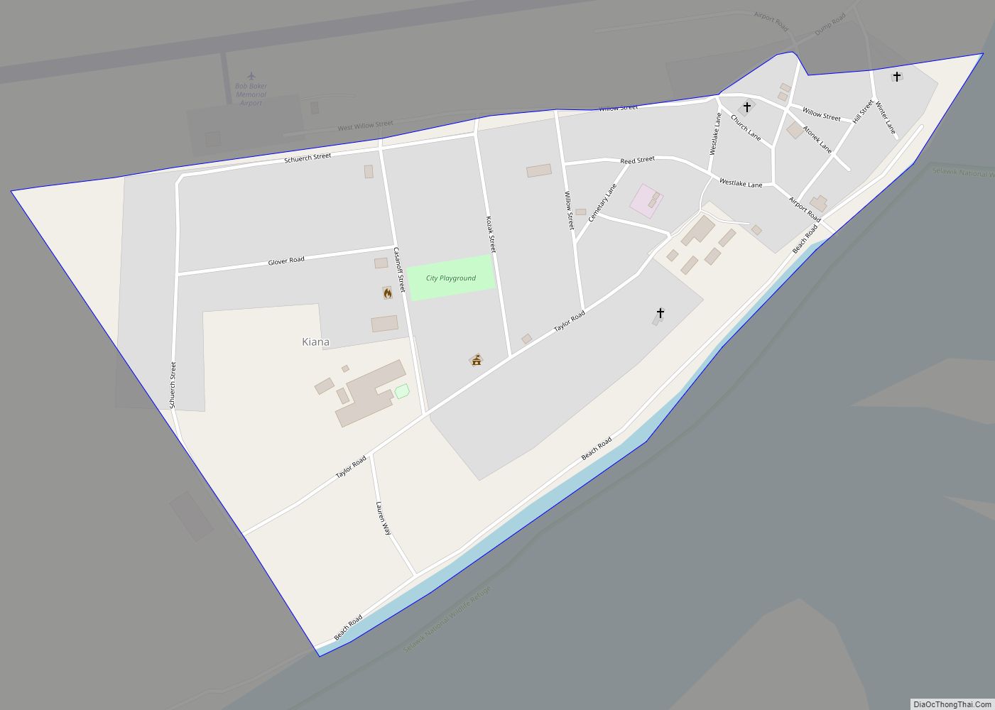
Noatak Road Map
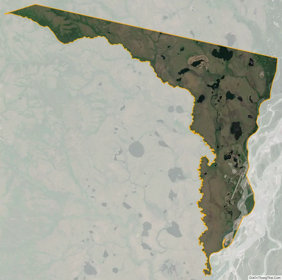
Noatak city Satellite Map
Geography
Noatak is located at 67°34′19″N 162°58′30″W / 67.57194°N 162.97500°W / 67.57194; -162.97500 (67.572031, -162.975085).
Noatak is located on the west bank of the Noatak River, 81 km (50 mi) north of Kotzebue. It is 102 km (63 mi) north of the Arctic Circle. Noatak village lies near the western boundary of the 6.6-million acre (270,000 km) Noatak National Preserve and is the only settlement on the over-400-mile (640 km) long Noatak River.
According to the United States Census Bureau, the CDP has a total area of 12.2 square miles (32 km), of which, 11.6 square miles (30 km) of it is land and 0.7 square miles (1.8 km) of it (5.40%) is water.
See also
Map of Alaska State and its subdivision:- Aleutians East
- Aleutians West
- Anchorage
- Bethel
- Bristol Bay
- Denali
- Dillingham
- Fairbanks North Star
- Haines
- Juneau
- Kenai Peninsula
- Ketchikan Gateway
- Kodiak Island
- Lake and Peninsula
- Matanuska-Susitna
- Nome
- North Slope
- Northwest Arctic
- Prince of Wales-Outer Ketchi
- Sitka
- Skagway-Yakutat-Angoon
- Southeast Fairbanks
- Valdez-Cordova
- Wade Hampton
- Wrangell-Petersburg
- Yukon-Koyukuk
- Alabama
- Alaska
- Arizona
- Arkansas
- California
- Colorado
- Connecticut
- Delaware
- District of Columbia
- Florida
- Georgia
- Hawaii
- Idaho
- Illinois
- Indiana
- Iowa
- Kansas
- Kentucky
- Louisiana
- Maine
- Maryland
- Massachusetts
- Michigan
- Minnesota
- Mississippi
- Missouri
- Montana
- Nebraska
- Nevada
- New Hampshire
- New Jersey
- New Mexico
- New York
- North Carolina
- North Dakota
- Ohio
- Oklahoma
- Oregon
- Pennsylvania
- Rhode Island
- South Carolina
- South Dakota
- Tennessee
- Texas
- Utah
- Vermont
- Virginia
- Washington
- West Virginia
- Wisconsin
- Wyoming