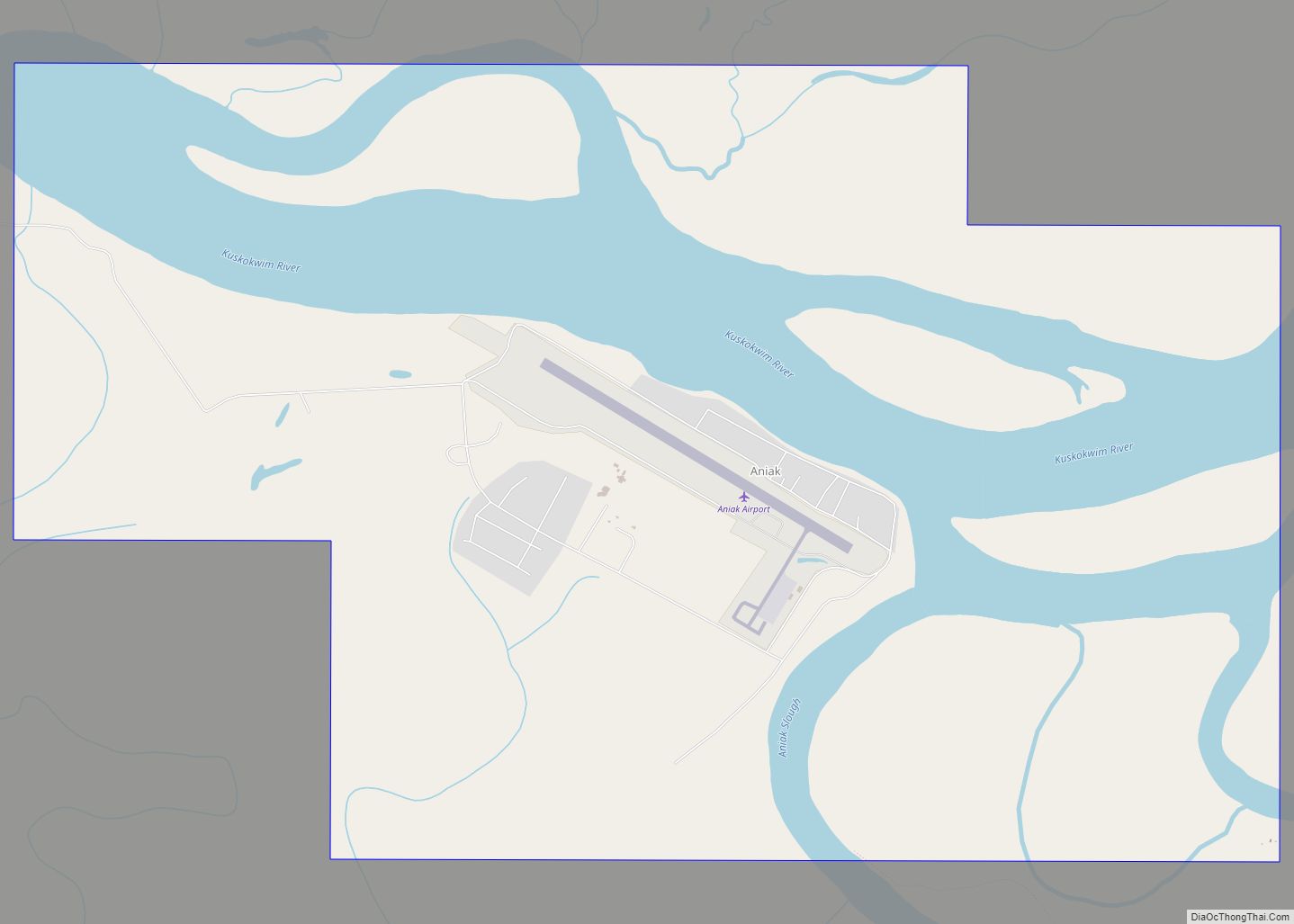
Aniak (Central Yupik: Anyaraq) is a city in the Bethel Census Area in the U.S. state of Alaska. At the 2010 census the population was 501, down from 572 in 2000.
| Name: | Aniak city |
|---|---|
| LSAD Code: | 25 |
| LSAD Description: | city (suffix) |
| State: | Alaska |
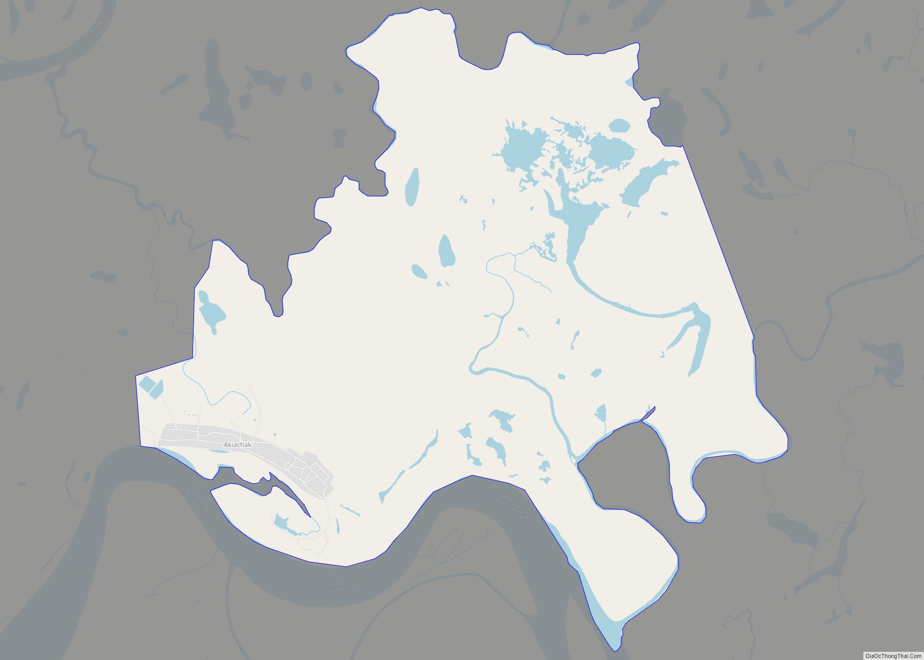
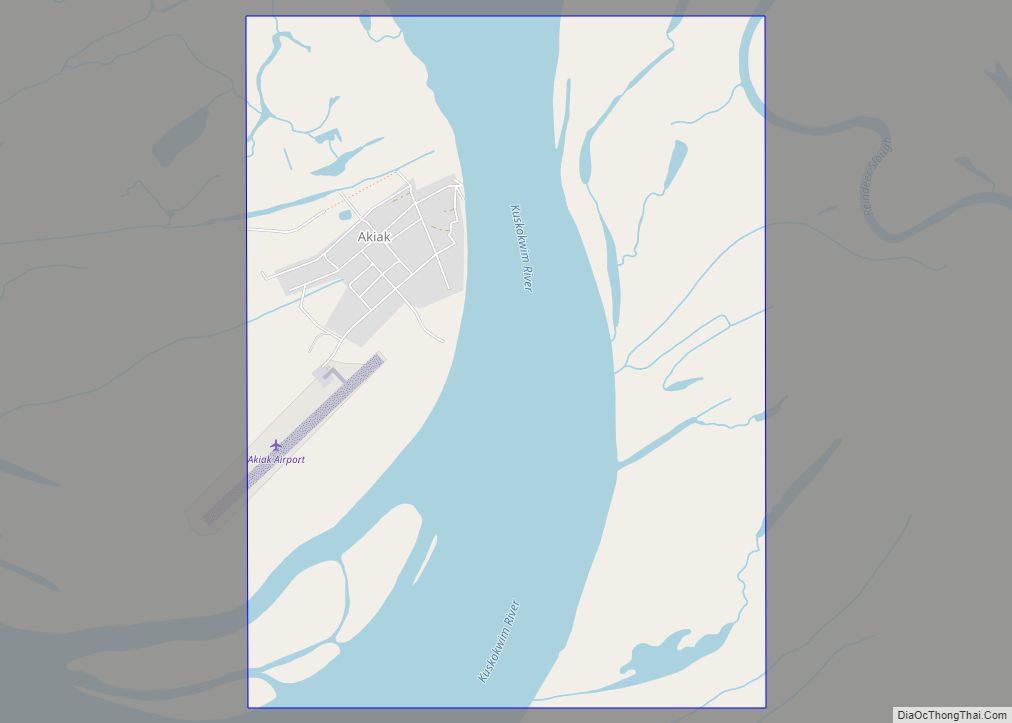
| County: | Bethel Census Area |
| Incorporated: | May 10, 1972 |
| Elevation: | 49 ft (15 m) |
| Total Area: | 8.47 sq mi (21.95 km²) |
| Land Area: | 6.18 sq mi (16.02 km²) |
| Water Area: | 2.29 sq mi (5.93 km²) |
| Total Population: | 507 |
| Population Density: | 81.97/sq mi (31.65/km²) |
| ZIP code: | 99557 |
| Area code: | 907 |
| FIPS code: | 0203550 |
| GNISfeature ID: | 1398286 |
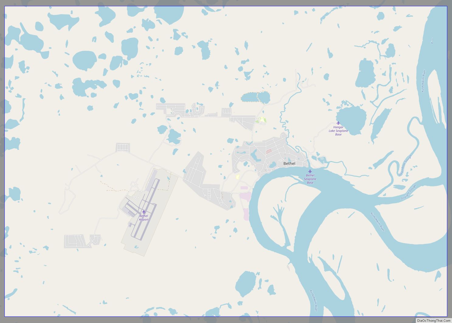
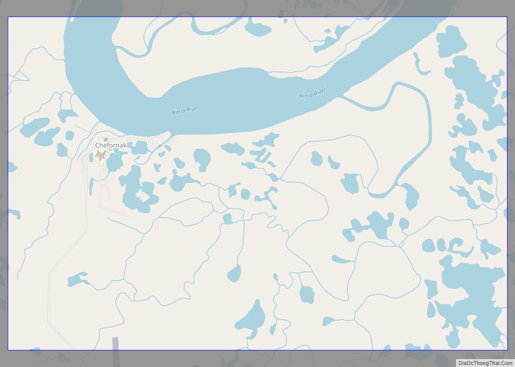
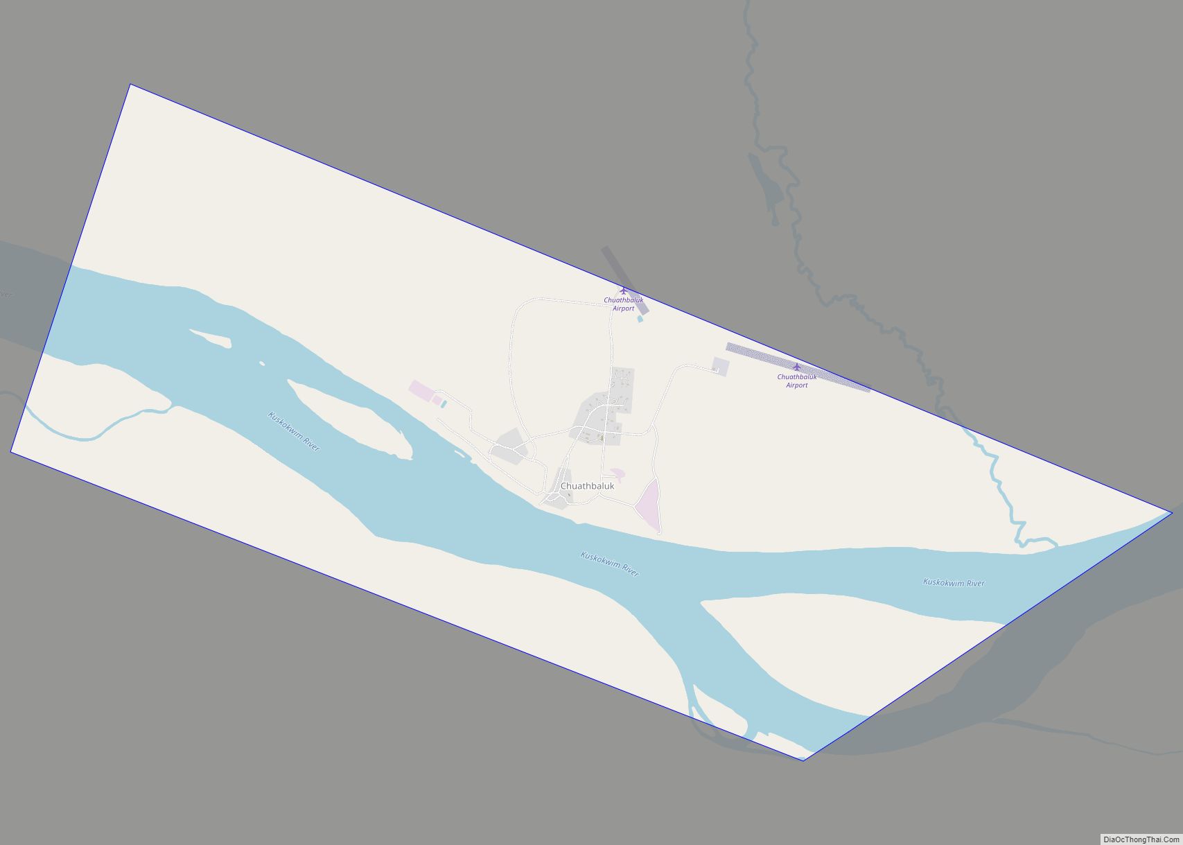
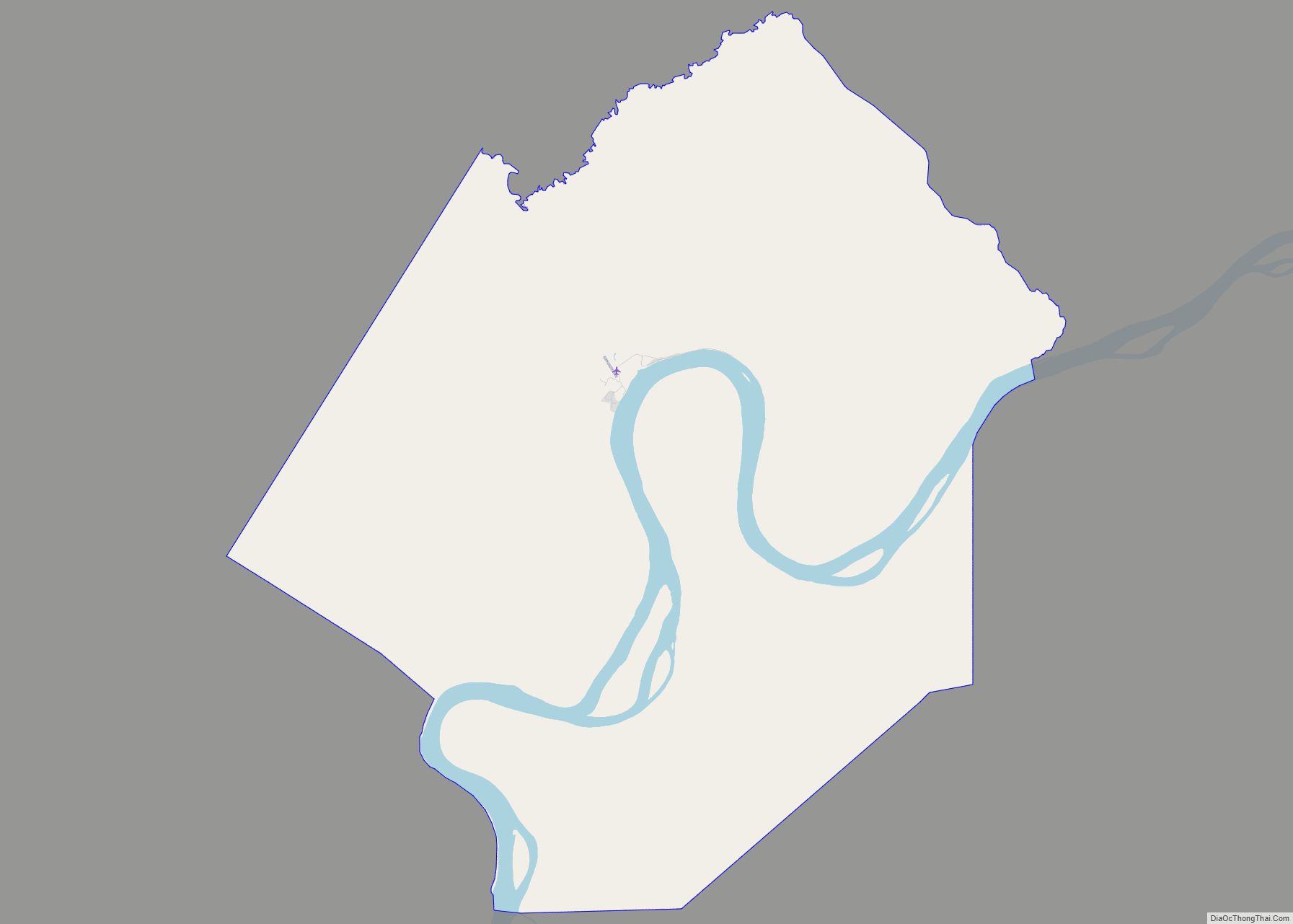
Online Interactive Map
Click on ![]() to view map in "full screen" mode.
to view map in "full screen" mode.
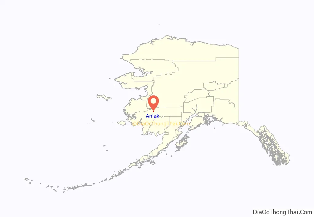
Aniak location map. Where is Aniak city?
History
Aniak is the Central Alaskan Yup’ik name for the area around present-day Aniak. The word means “the place where it comes out”; that is, where the Aniak River flows into the Kuskokwim. The local Yup’ik people had deserted the original village at Aniak by the early 19th century, when Russian explorers first arrived in the area.
20th-century prospectors believed that the early Russian traders discovered gold in a tributary to the Kuskokwim called “Yellow River” in 1832. Many think that the Yellow River these traders referred to is the Aniak River. A mercury deposit was discovered by Russian traders near the trading post called Kolmakov Redoubt 22 miles (35 km) east of Aniak in 1838. Placer gold was found by Russian traders in New York Creek 30 miles (48 km) east of Aniak in 1844. The Russians, however, did not engage in any significant mining activities, and it wasn’t until after the purchase of Alaska in 1867 that the American prospectors began seriously investigating the potential for prospecting along the Kuskokwim river. A handful of prospecting parties began venturing into the area, however they had to travel great distances to an area where trading posts were few and far between, so the activity was limited especially given the exposure of other late 19th century strikes in Alaska which were better served by existing infrastructure.
The euphoria caused by the Klondike Gold Rush in 1897-98 would set the stage for a change however with thousands of prospectors across the territory poised to make a rush upon rumor of each potential new strike. One such rush was the Yellow River Stampede of 1900 in which many prospectors left Nome to venture into the Kuskokwim basin upon rumors that someone had found the Yellow River strike despite the fact that the location of that strike was unknown. Finding precious little gold and experiencing substantial hardship, many of these folks would return to Nome following the difficult winter of 1901, but some stayed behind to continue their search. A 1906 gold discovery at the head of the Innoko River, a tributary of the Yukon River, caused another gold rush in 1907 with many of the prospectors choosing to access the site via the Kuskokwim River instead and trading posts were established at the Takotna River which required riverboat service to travel the Kuskokwim river. With riverboat service now available on the Kuskokwim River, prospecting activity picked up and some strikes were starting to occur in the Kuskokwim basin. Strikes were made at Crooked Creek, George River, New York Creek, and Aniak River among others. Most strikes were short lived. However, the Kuskokwim River was now seeing an increase in river traffic that needed servicing.
In 1910, a lone prospector named “Old Man” Keeler reportedly found placer gold in the Aniak River basin. In 1911, three prospectors, Harry Buhro, E. W. “Kid” Fisher, and Fred Labelle, who had been working the George River area decided to give the Aniak River basin area a try and discovered gold at Marvel, Fisher, and Dome creeks. These creeks feed into the Aniak River about 50 miles (80 km) south of Aniak. Initially prospectors would reach this site by poling up the river in boats, however that was a difficult journey due to the nature of the river. The trip would take 15 to 20 days from the Kuskokwim river. By 1913, a hydraulic plant had been installed at Marvel Creek and in 1914 construction of a 70-mile (110 km) cat trail began starting 1-mile (1.6 km) south of Aniak on the mouth of the Aniak Slough and proceeding to the diggings at Marvel Creek. The cat trail was last used in the spring of 2006 by miners still working claims.
This same year, Tom L. Johnson homesteaded the site of the long-abandoned Yup’ik village in the Aniak area and opened a store and post office there to service prospectors and miners in the vicinity. Willie Pete and Sam Simeon brought their Yup’ik families from Ohagamiut to Aniak. In 1936 a territorial school was opened. In anticipation of the Lend-Lease program to help supply Russia with war materials, construction of an airfield began in 1939. With the airfield in place, Aniak became the transportation hub for villages in the area including Chuathbaluk, Anvik, Kalskag, Crooked Creek, Holy Cross and others. In 1956 during the Cold War, construction of a White Alice Relay Station began bringing money, jobs, and communication capability to the area. The impact to the community from the relay station was immediate as the first telephone capable of long distance phone calls was installed at the Aniak Lodge in 1957 and Aniak’s population more than doubled from 142 in 1950 to 308 in 1960. The 2000 census places Aniak’s population at 572.
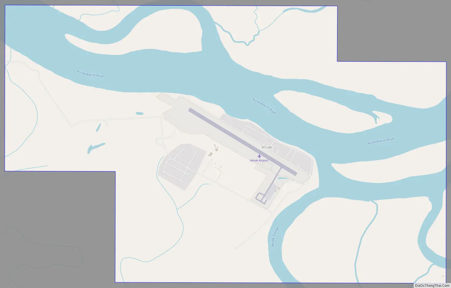
Aniak Road Map
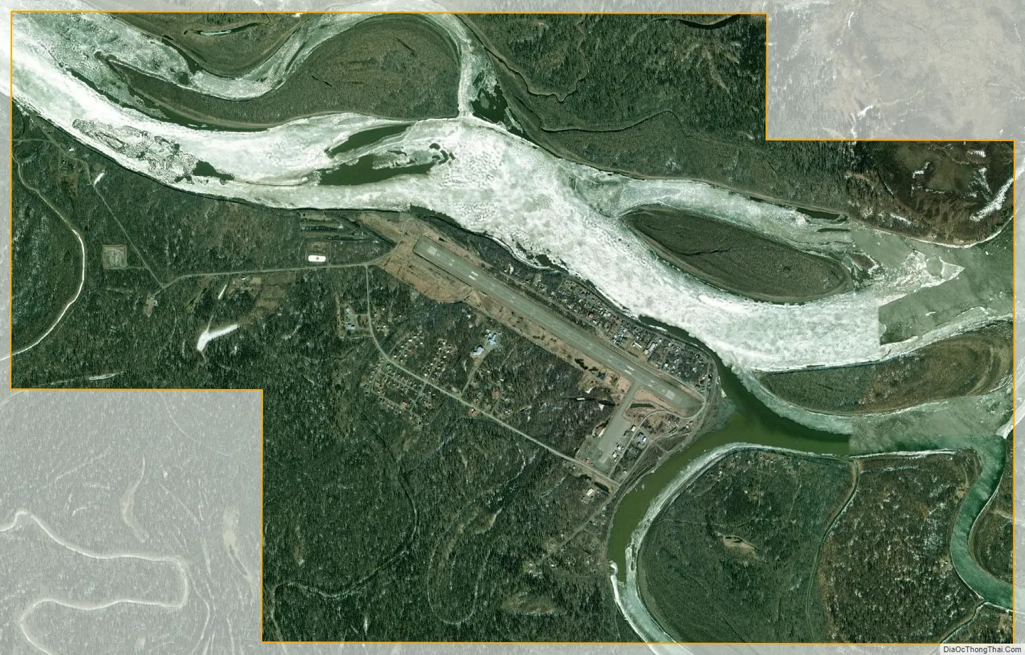
Aniak city Satellite Map
Geography
61°34′44″N 159°33′1″W / 61.57889°N 159.55028°W / 61.57889; -159.55028 (61.578821, -159.550255).
Aniak is on the south bank of the Kuskokwim River at the head of Aniak Slough, 59 miles (95 km) southwest of Russian Mission in the Yukon-Kuskokwim Delta. It lies 92 miles (148 km) northeast of Bethel and 317 miles (510 km) west of Anchorage.
According to the United States Census Bureau, the city has a total area of 8.8 square miles (23 km), of which, 6.5 square miles (17 km) of it is land and 2.3 square miles (6.0 km) of it (25.82%) is water.
Climate
Climate is maritime in the summer and continental in winter. Temperatures range between -72 and 92 °F. Average yearly precipitation is 19 inches (480 mm), with snowfall of 60 inches (1.5 m).
See also
Map of Alaska State and its subdivision:- Aleutians East
- Aleutians West
- Anchorage
- Bethel
- Bristol Bay
- Denali
- Dillingham
- Fairbanks North Star
- Haines
- Juneau
- Kenai Peninsula
- Ketchikan Gateway
- Kodiak Island
- Lake and Peninsula
- Matanuska-Susitna
- Nome
- North Slope
- Northwest Arctic
- Prince of Wales-Outer Ketchi
- Sitka
- Skagway-Yakutat-Angoon
- Southeast Fairbanks
- Valdez-Cordova
- Wade Hampton
- Wrangell-Petersburg
- Yukon-Koyukuk
- Alabama
- Alaska
- Arizona
- Arkansas
- California
- Colorado
- Connecticut
- Delaware
- District of Columbia
- Florida
- Georgia
- Hawaii
- Idaho
- Illinois
- Indiana
- Iowa
- Kansas
- Kentucky
- Louisiana
- Maine
- Maryland
- Massachusetts
- Michigan
- Minnesota
- Mississippi
- Missouri
- Montana
- Nebraska
- Nevada
- New Hampshire
- New Jersey
- New Mexico
- New York
- North Carolina
- North Dakota
- Ohio
- Oklahoma
- Oregon
- Pennsylvania
- Rhode Island
- South Carolina
- South Dakota
- Tennessee
- Texas
- Utah
- Vermont
- Virginia
- Washington
- West Virginia
- Wisconsin
- Wyoming