Chuathbaluk (Central Yupik: Curarpalek) is a city in Bethel Census Area, Alaska, United States.
At the 2010 census the population was 118, down from 119 in 2000.
| Name: | Chuathbaluk city |
|---|---|
| LSAD Code: | 25 |
| LSAD Description: | city (suffix) |
| State: | Alaska |
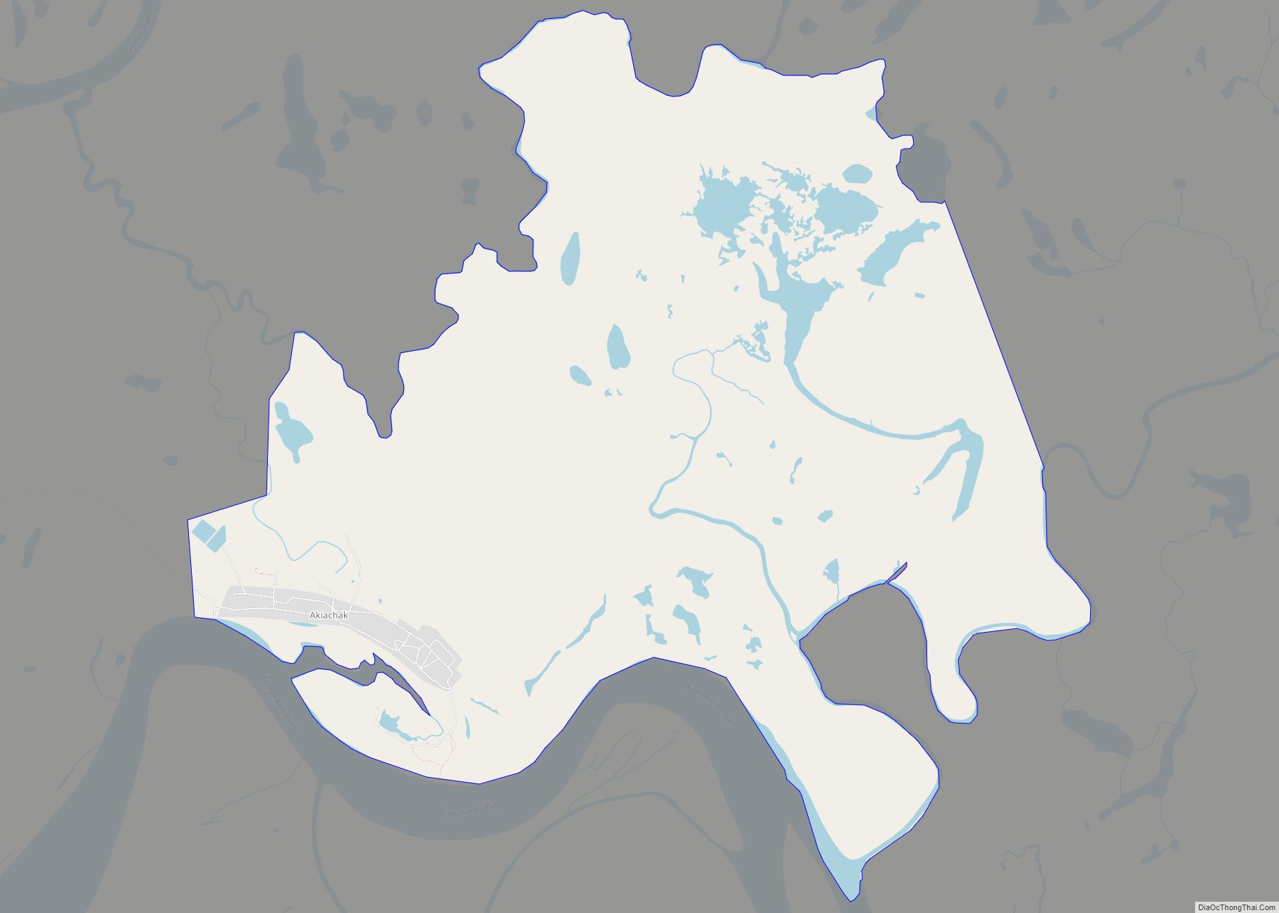
| County: | Bethel Census Area |
| Incorporated: | 1975 |
| Elevation: | 154 ft (47 m) |
| Total Area: | 6.22 sq mi (16.12 km²) |
| Land Area: | 4.47 sq mi (11.58 km²) |
| Water Area: | 1.75 sq mi (4.54 km²) |
| Total Population: | 104 |
| Population Density: | 23.27/sq mi (8.98/km²) |
| Area code: | 907 |
| FIPS code: | 0214330 |
| GNISfeature ID: | 1400376 |
Online Interactive Map
Click on ![]() to view map in "full screen" mode.
to view map in "full screen" mode.
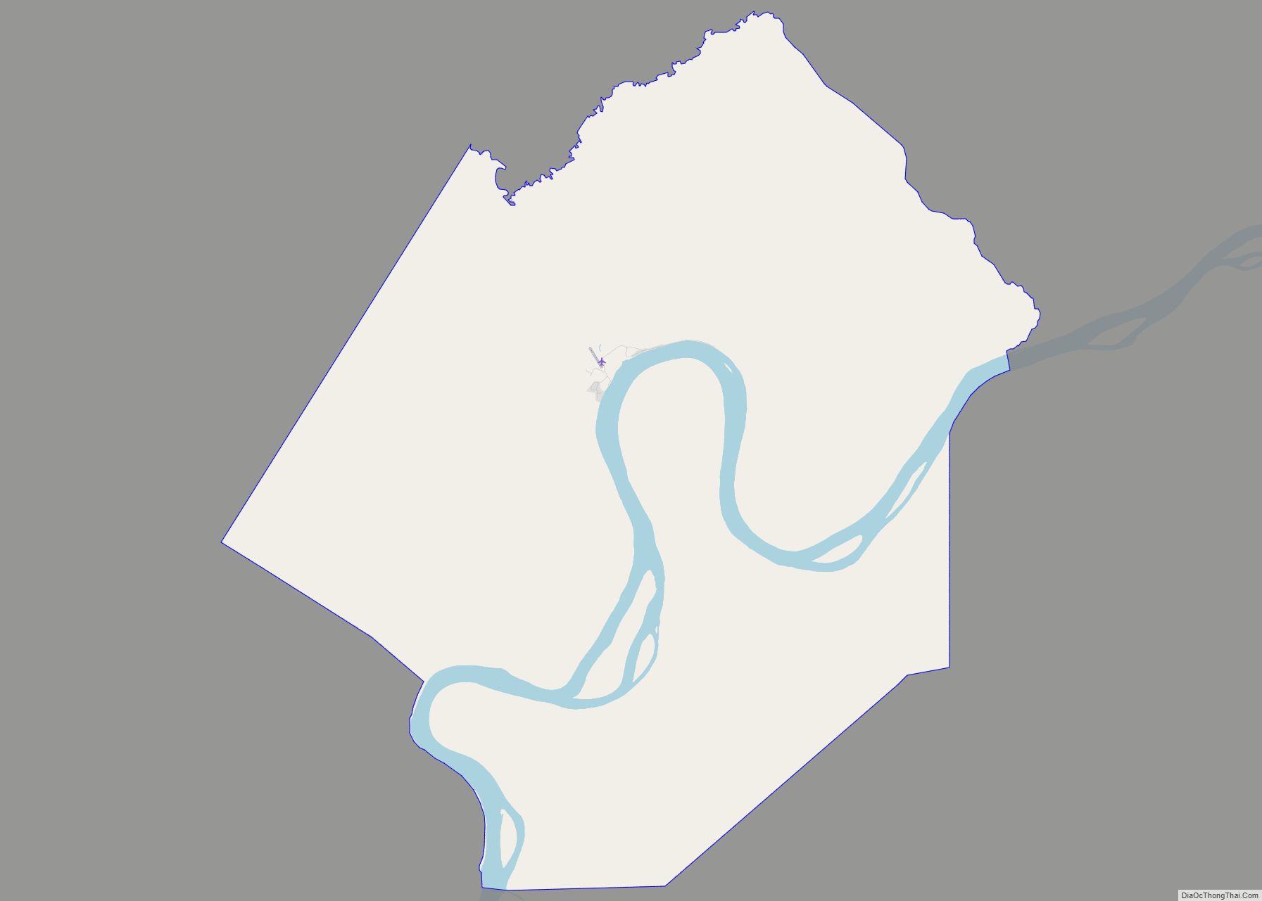
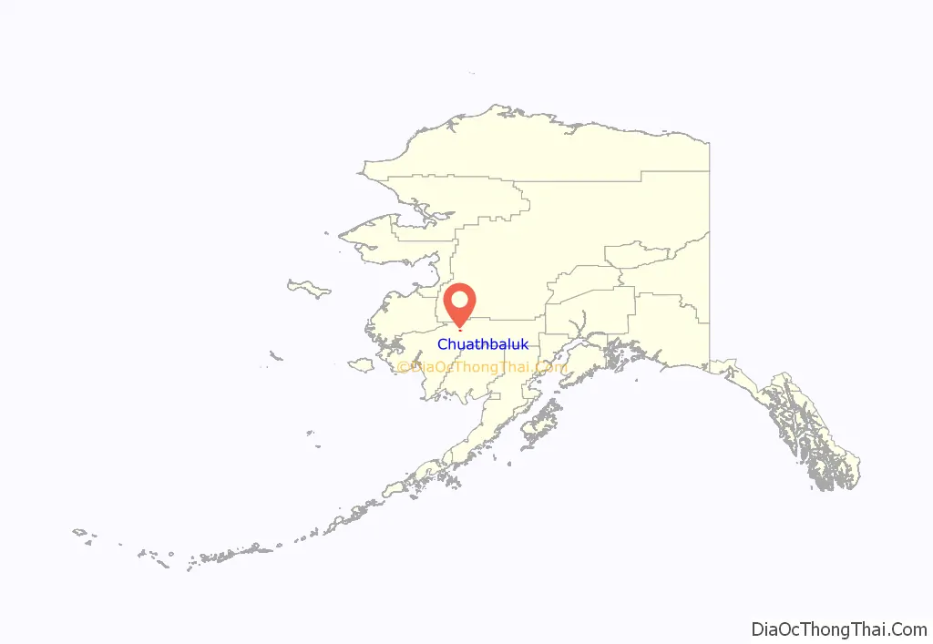
Chuathbaluk location map. Where is Chuathbaluk city?
History
During the 19th century, Deg Hit’an Athabascan people had summer fish camps in the area. The Russian Orthodox Church built the St. Sergius Mission by 1894, and residents of Kukuktuk from 20 miles (32 km) downriver moved to the mission.
Once established, village has been called Chukbak, St. Sergius Mission, Kuskokwim Russian Mission, and Little Russian Mission. The village was often confused with Russian Mission on the Yukon, so in the 1960s the name was changed to Chuathbaluk, which is derived from the Yup’ik word Curapalek, meaning “the hills where the big blueberries grow.”
Much of the village was lost in an influenza epidemic in 1900. By 1929, the site was deserted, although Russian Orthodox members continued to hold services at the mission. In 1954, the Crow Village Sam Phillips family from Crow Village resettled the mission, and later residents of Aniak and Crooked Creek joined their settlement. The church was rebuilt in the late 1950s, and a state school opened in the 1960s. The city was incorporated in 1975.
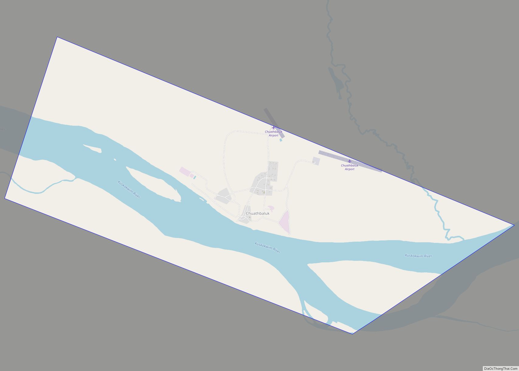
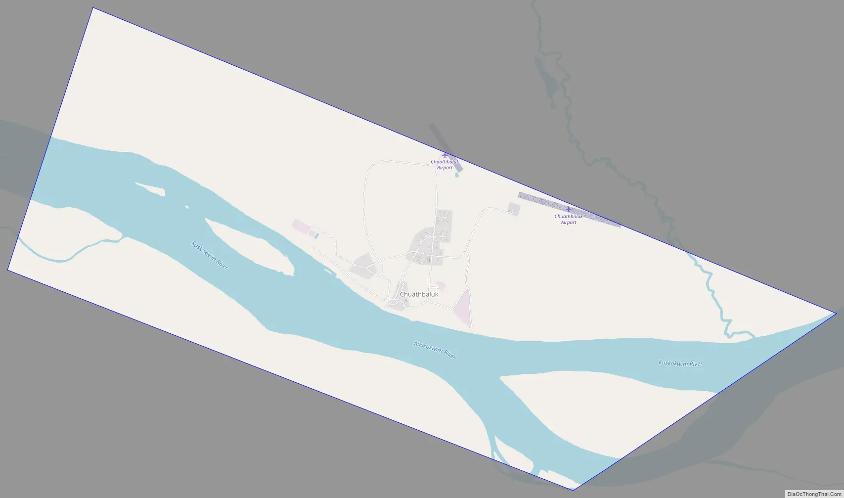
Chuathbaluk Road Map
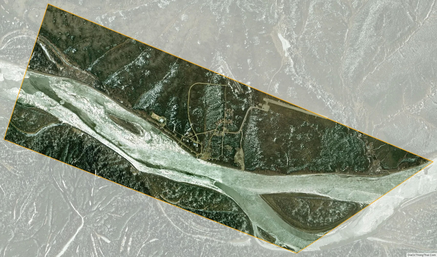
Chuathbaluk city Satellite Map
Geography
Chuathbaluk is located at 61°34′32″N 159°14′50″W / 61.57556°N 159.24722°W / 61.57556; -159.24722 (61.575693, -159.247311), on the Kuskokwim River, approximately 100 miles (160 km) upstream from Bethel. The Russian Mountains, a small circular mountain range, stand just to the north of the town.
According to the United States Census Bureau, the city has a total area of 5.2 square miles (13.4 km), of which 3.5 square miles (9.0 km) is land and 1.7 square miles (4.5 km), or 33.19%, is water.
See also
Map of Alaska State and its subdivision:- Aleutians East
- Aleutians West
- Anchorage
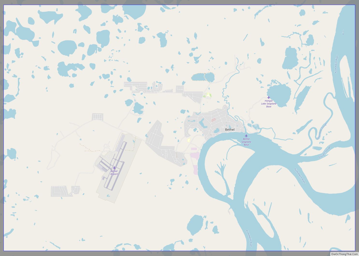
- Bethel
- Bristol Bay
- Denali
- Dillingham
- Fairbanks North Star
- Haines
- Juneau
- Kenai Peninsula
- Ketchikan Gateway
- Kodiak Island
- Lake and Peninsula
- Matanuska-Susitna
- Nome
- North Slope
- Northwest Arctic
- Prince of Wales-Outer Ketchi
- Sitka
- Skagway-Yakutat-Angoon
- Southeast Fairbanks
- Valdez-Cordova
- Wade Hampton
- Wrangell-Petersburg
- Yukon-Koyukuk
- Alabama
- Alaska
- Arizona
- Arkansas
- California
- Colorado
- Connecticut
- Delaware
- District of Columbia
- Florida
- Georgia
- Hawaii
- Idaho
- Illinois
- Indiana
- Iowa
- Kansas
- Kentucky
- Louisiana
- Maine
- Maryland
- Massachusetts
- Michigan
- Minnesota
- Mississippi
- Missouri
- Montana
- Nebraska
- Nevada
- New Hampshire
- New Jersey
- New Mexico
- New York
- North Carolina
- North Dakota
- Ohio
- Oklahoma
- Oregon
- Pennsylvania
- Rhode Island
- South Carolina
- South Dakota
- Tennessee
- Texas
- Utah
- Vermont
- Virginia
- Washington
- West Virginia
- Wisconsin
- Wyoming