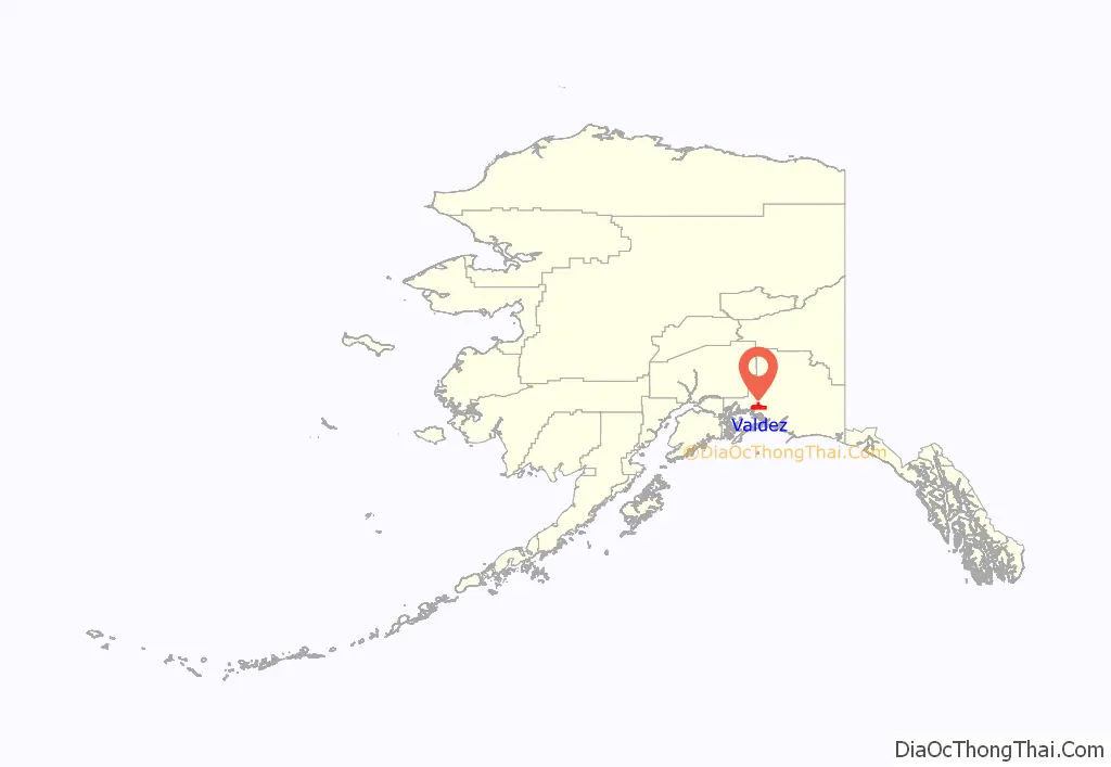
Valdez (/vælˈdiːz/ val-DEEZ; Alutiiq: Suacit) is a city in the Chugach Census Area in the U.S. state of Alaska. According to the 2020 US Census, the population of the city is 3,985, up from 3,976 in 2010. It is the third most populated city in Alaska’s Unorganized Borough.
The city was named in 1790 after the Spanish Navy Minister Antonio Valdés y Fernández Bazán. A former Gold Rush town, it is located at the head of Port Valdez on the eastern side of Prince William Sound. The port did not flourish until after the road link to Fairbanks was constructed in 1899. It suffered catastrophic damage during the 1964 Alaska earthquake, and is located near the site of the disastrous 1989 Exxon Valdez oil tanker spill. Today, it is one of the most important ports in Alaska, a commercial fishing port as well as a freight terminal. Valdez is also the terminus for the Trans-Alaska Pipeline System.
| Name: | Valdez city |
|---|---|
| LSAD Code: | 25 |
| LSAD Description: | city (suffix) |
| State: | Alaska |
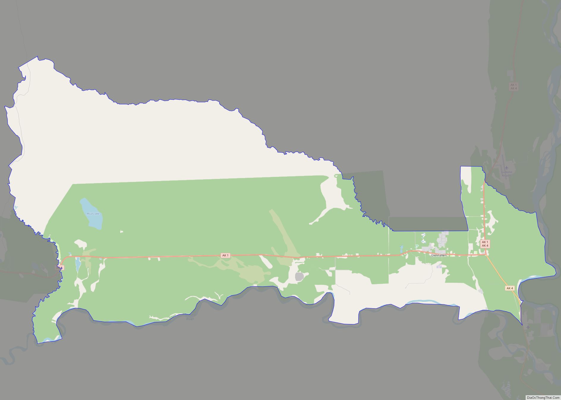
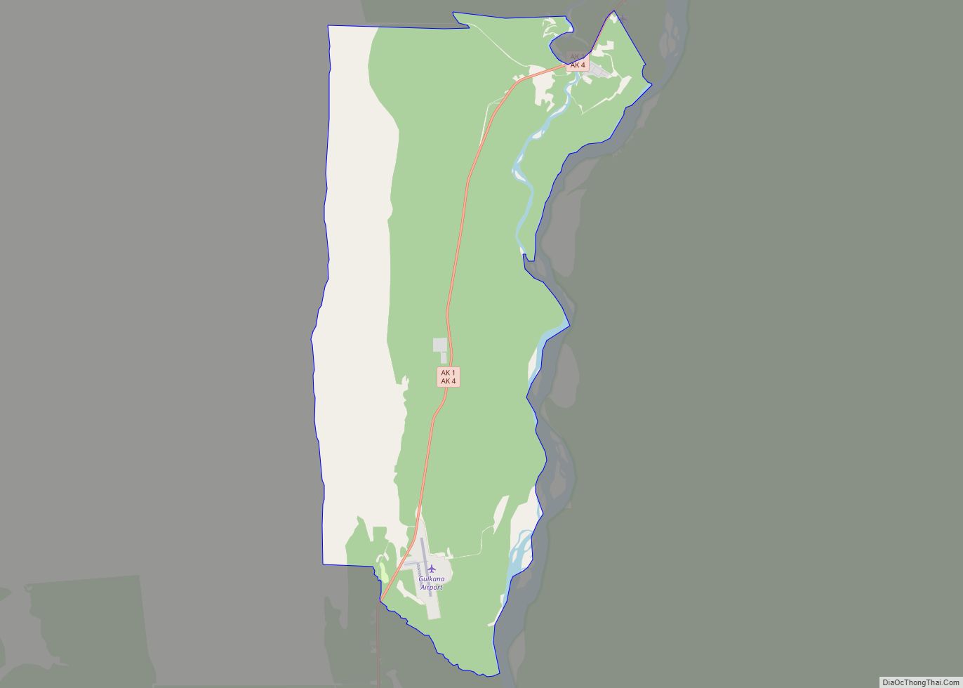
| County: | Valdez-Cordova Census Area |
| Incorporated: | June 11, 1901 |
| Elevation: | 98 ft (30 m) |
| Total Area: | 271.91 sq mi (704.24 km²) |
| Land Area: | 212.69 sq mi (550.86 km²) |
| Water Area: | 59.22 sq mi (153.37 km²) |
| Total Population: | 3,985 |
| Population Density: | 18.74/sq mi (7.23/km²) |
| ZIP code: | 99686 |
| Area code: | 907 |
| FIPS code: | 0282200 |
| GNISfeature ID: | 1412465 |
| Website: | www.ci.valdez.ak.us |
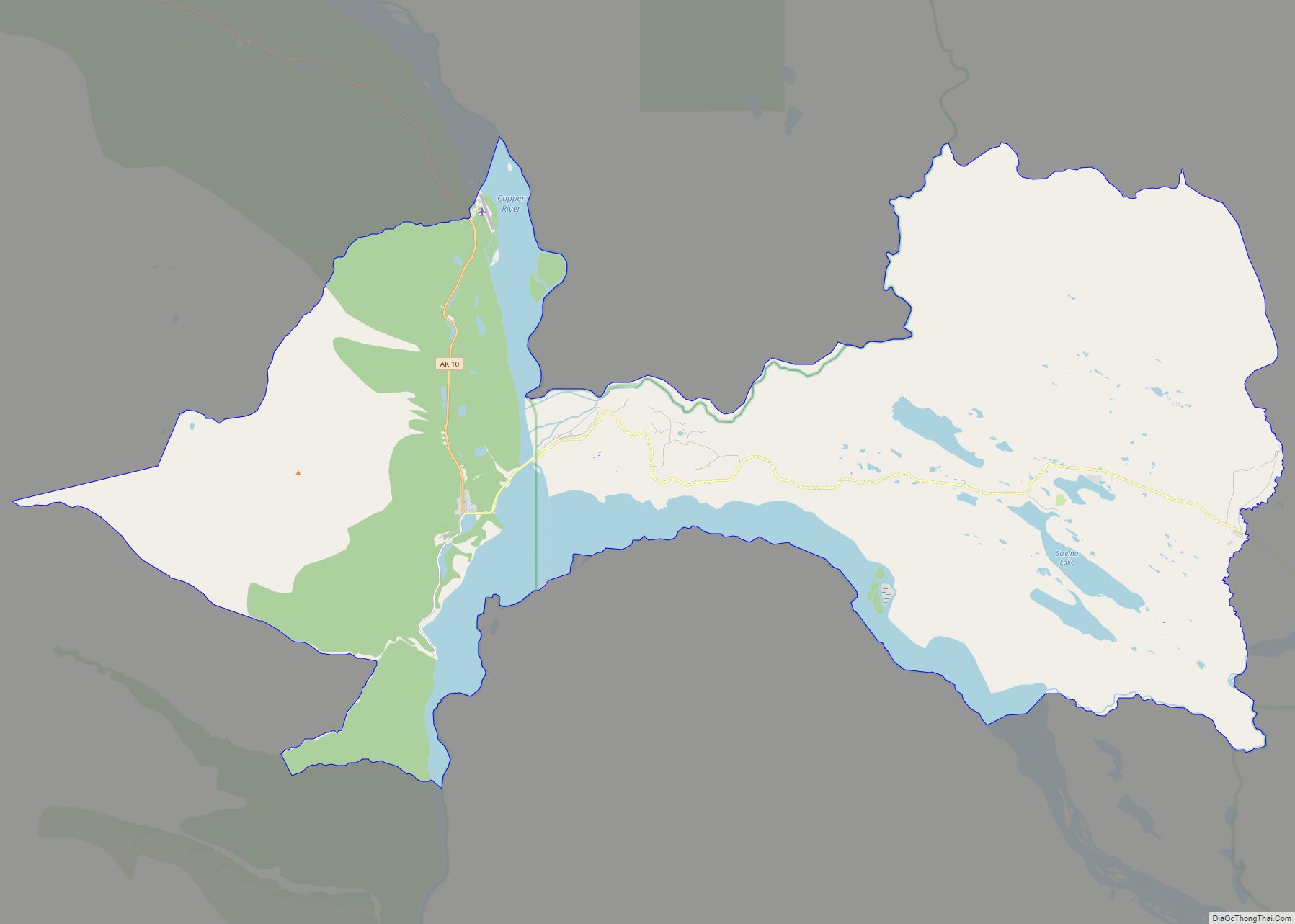
Online Interactive Map
Click on ![]() to view map in "full screen" mode.
to view map in "full screen" mode.
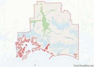
Valdez location map. Where is Valdez city?
History
The port of Valdez was named in 1790 by the Spanish explorer Salvador Fidalgo after the Spanish naval officer Antonio Valdés y Fernández Bazán. A scam to lure prospectors off the Klondike Gold Rush trail led to a town being developed there in 1898. Some steamship companies promoted the Valdez Glacier Trail as a better route for miners to reach the Klondike gold fields and discover new ones in the Copper River country of interior Alaska than that from Skagway. The prospectors who believed the promotion found that they had been deceived. The glacier trail was twice as long and steep as reported, and many men died attempting the crossing, in part by contracting scurvy during the long cold winter without adequate supplies. The town did not flourish until after the construction of the Richardson Highway in 1899, which connected Valdez and Fairbanks. With a new road and its ice-free port, Valdez became permanently established as the first overland supply route into the interior of Alaska. The highway was open in summer-only until 1950, when it started operating as a year-round route.
In 1907, a shootout between two rival railroad companies ended Valdez’s hope of becoming the railroad link from tidewater to the Kennicott Copper Mine. The mine, located in the heart of the Wrangell-St. Elias Mountains, was one of the richest copper ore deposits on the continent. The exact location of the right-of-way dispute, in which one man was killed and several injured, is located at the southern entrance of Keystone Canyon on the Valdez side. A half-completed tunnel in the canyon marks the end of railroad days in Valdez. A rail line to Kennicott was later established from the coastal city of Cordova.
Good Friday earthquake
The city of Valdez was badly shaken and damaged in the 1964 Good Friday earthquake. Soil liquefaction of the glacial silt that formed the city’s foundation led to a massive underwater landslide, which caused a section of the city’s shoreline to break off and sink into the sea. The underwater soil displacement caused a local tsunami 30 feet (9.1 m) high that traveled westward, away from the city and down Valdez Bay. 32 men, women, and children were on the city’s main freight dock to help with and watch the unloading of the SS Chena, a supply ship that came to Valdez regularly. All 32 people died as the dock collapsed into the ocean with the violent landslide. There were no deaths in the town.
Residents continued to live there for an additional three years while a new site was being prepared on more stable ground four miles (6 km) away. The new construction was supervised by the Army Corps of Engineers. They transported 54 houses and buildings by truck to the new site, to re-establish the new city at its present location. The original town site was dismantled, abandoned and eventually burned down.
Trans-Alaska pipeline
From 1975 to 1977, the Trans-Alaska pipeline was built to carry oil from the Prudhoe Bay oil fields in northern Alaska to a terminal in Valdez, the nearest ice-free port. Oil is loaded onto tanker ships for transport. The construction and operation of the pipeline and terminal boosted the economy of Valdez. The first tanker to be loaded with pipeline oil was the ARCO Juneau in early August 1977, bound for the Cherry Point Refinery in Washington.
The 1989 Exxon Valdez oil spill occurred as the oil tanker Exxon Valdez was leaving the terminal at Valdez full of oil. The spill occurred at Bligh Reef, about 40 km (25 mi) from Valdez. Although the oil did not reach Valdez, it devastated much of the marine life in the surrounding area. The clean-up of the oil caused a short-term boost to the economy of Valdez.
2014 avalanches
On January 24, 2014, a major avalanche occurred just outside Valdez at Mile 16 near Keystone Canyon, prompting the closure of the only highway in or out of town. On January 25, Alaska DOT triggered another massive slide that further choked the roadway. Due to weather conditions at the time, the avalanche dammed the Lowe River, creating a half-mile-long lake that stalled snow removal efforts for nearly a week. The blockage was dubbed the “Damalanche” by local city officials after a name coined by local resident, Joshua Buffington. News of this event spread to media outlets nationwide. Once the water receded, crews worked around the clock to clear about 200,000 cubic yards of snow in five days. No one was injured during this incident.
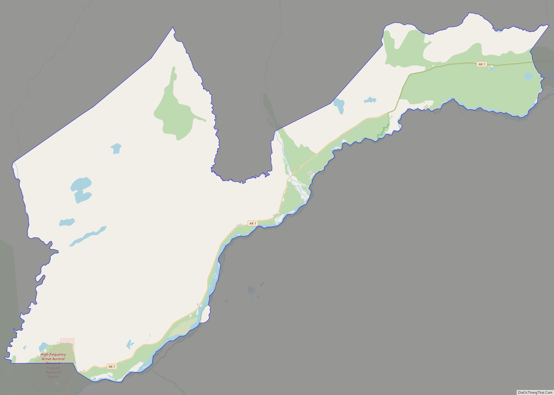
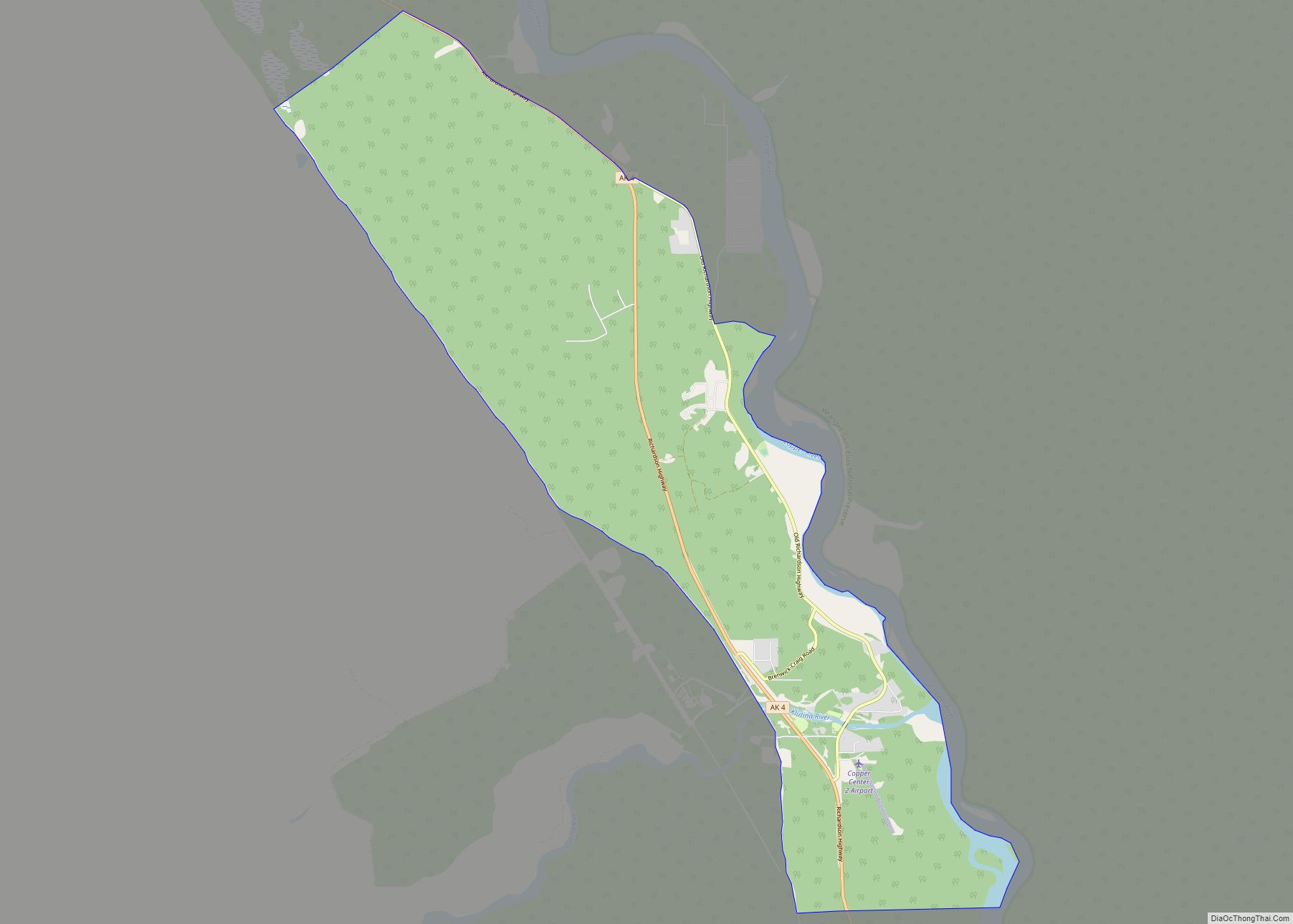
Valdez Road Map
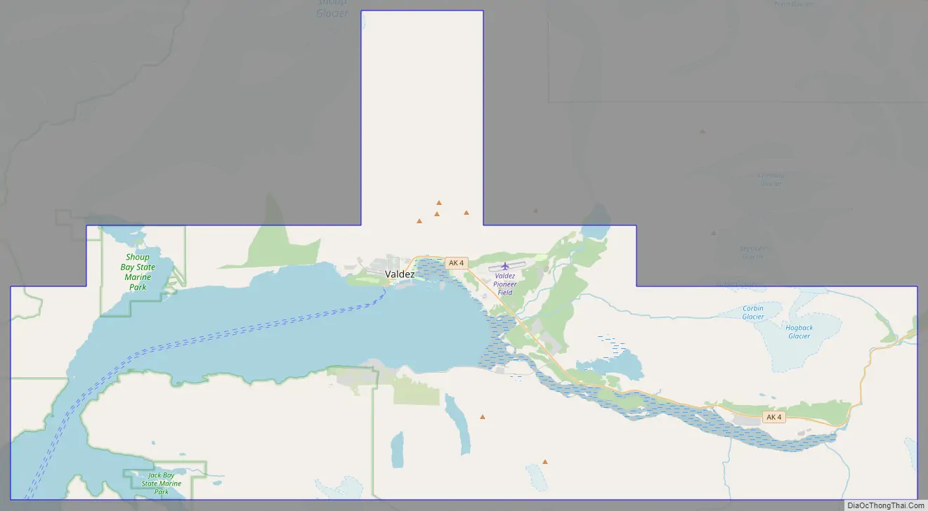
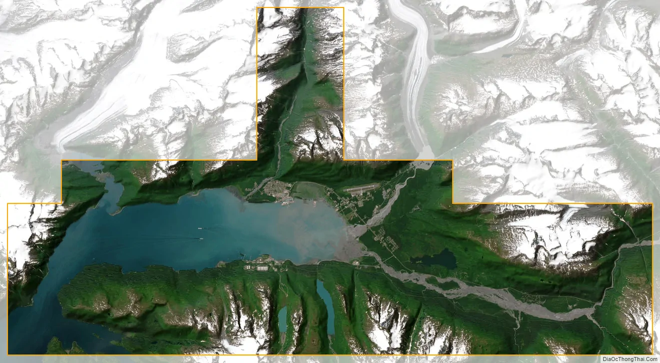
Valdez city Satellite Map
Geography
Valdez is located at 61°7′51″N 146°20′54″W / 61.13083°N 146.34833°W / 61.13083; -146.34833. According to the United States Census Bureau, the city has a total area of 277.1 square miles (718 km), of which 222.0 square miles (575 km) is land and 55.1 square miles (143 km), comprising 19.88%, is water.
Valdez is located near the head of a deep fjord in the Prince William Sound in Alaska. It is surrounded by the Chugach Mountains, which are heavily glaciated; nearby Shoup Glacier, which feeds Shoup Bay, served as a source of ice for residents of the town at the turn of the 20th century. Valdez is the northernmost port in North America that is ice-free year-round. The northernmost point of the coastal Pacific temperate rain forest is in Valdez, on Blueberry Hill. The only road access is via the Richardson Highway, which traverses Thompson Pass and Keystone Canyon to end at Valdez.
Climate
Despite the presence of temperate rainforest, Valdez under the Köppen climate classification has a subarctic climate (Dfc): its winters, though much warmer than most climates of this type, are not sufficiently mild, as those of, say, Ketchikan, Kodiak, or even nearby Cordova are, to fit into the oceanic or subpolar oceanic climate category.
According to the Weather Channel and NOAA, Valdez is the snowiest city in the United States, with an average of almost 300 in (760 cm) per year. There have been more than 100 in (250 cm) of snow in five separate months (not all in the same year).
See also
Map of Alaska State and its subdivision:- Aleutians East
- Aleutians West
- Anchorage
- Bethel
- Bristol Bay
- Denali
- Dillingham
- Fairbanks North Star
- Haines
- Juneau
- Kenai Peninsula
- Ketchikan Gateway
- Kodiak Island
- Lake and Peninsula
- Matanuska-Susitna
- Nome
- North Slope
- Northwest Arctic
- Prince of Wales-Outer Ketchi
- Sitka
- Skagway-Yakutat-Angoon
- Southeast Fairbanks
- Valdez-Cordova
- Wade Hampton
- Wrangell-Petersburg
- Yukon-Koyukuk
- Alabama
- Alaska
- Arizona
- Arkansas
- California
- Colorado
- Connecticut
- Delaware
- District of Columbia
- Florida
- Georgia
- Hawaii
- Idaho
- Illinois
- Indiana
- Iowa
- Kansas
- Kentucky
- Louisiana
- Maine
- Maryland
- Massachusetts
- Michigan
- Minnesota
- Mississippi
- Missouri
- Montana
- Nebraska
- Nevada
- New Hampshire
- New Jersey
- New Mexico
- New York
- North Carolina
- North Dakota
- Ohio
- Oklahoma
- Oregon
- Pennsylvania
- Rhode Island
- South Carolina
- South Dakota
- Tennessee
- Texas
- Utah
- Vermont
- Virginia
- Washington
- West Virginia
- Wisconsin
- Wyoming