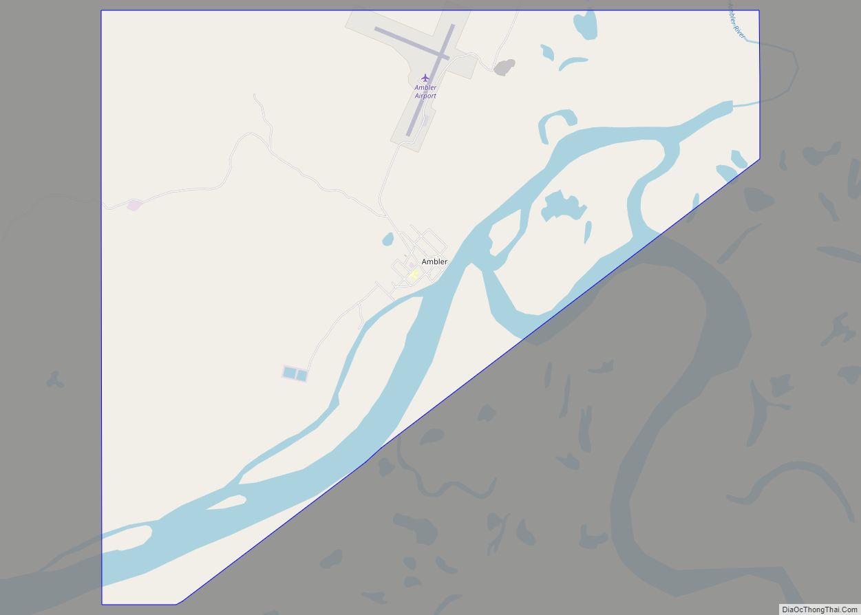
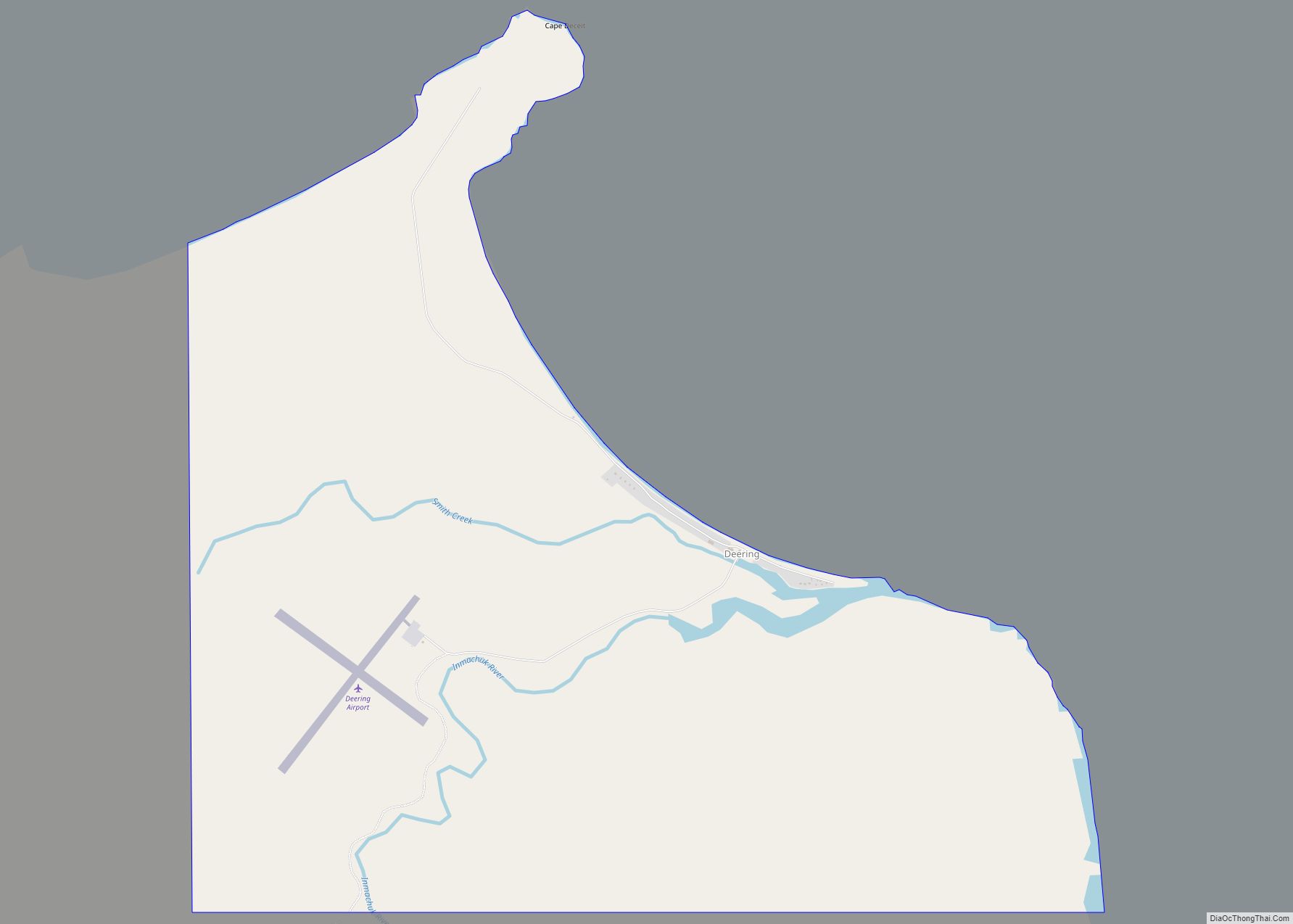
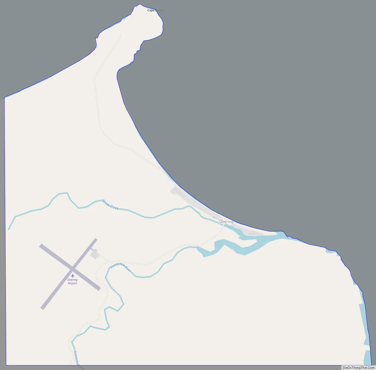
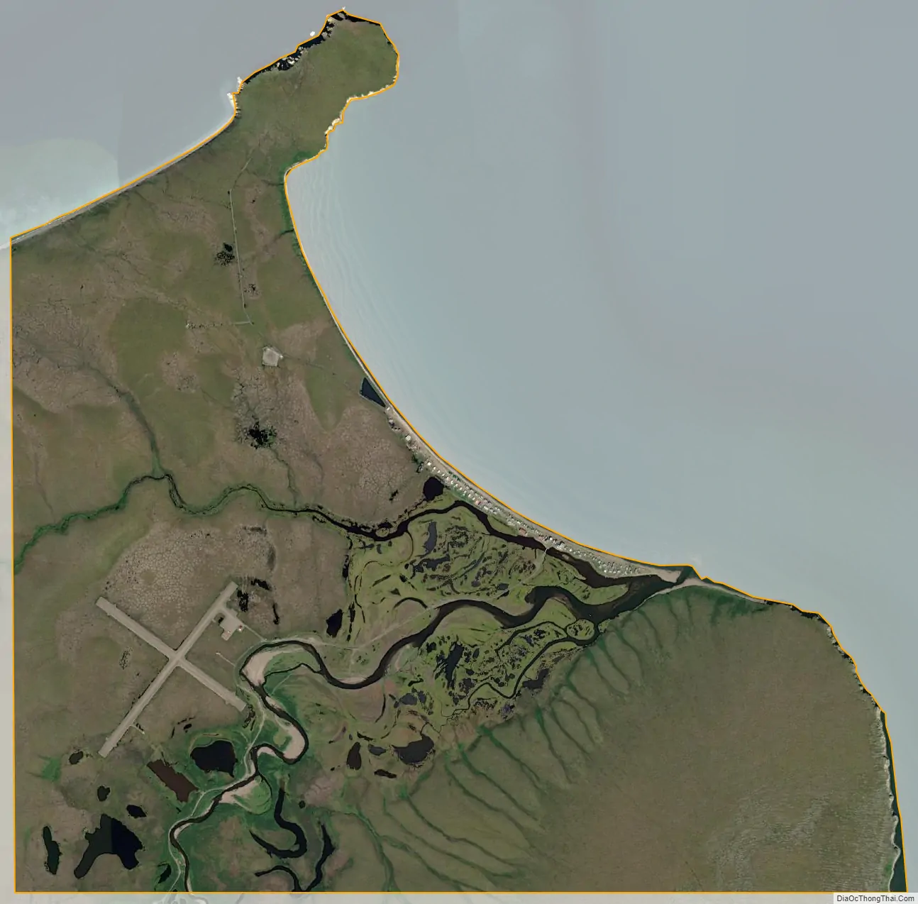
Deering (Inupiaq: Ipnatchiaq or Ipnasiaq) is a city in the Northwest Arctic Borough in the U.S. state of Alaska. It is located on a sandy spit on the Seward Peninsula where the Inmachuk River flows into Kotzebue Sound, 92 km (57 mi) southwest of Kotzebue.
As of the 2020 census, the population was 182, up from 136 in 2000. As of 2003, the city includes a community hall, a clinic run by the U.S. Public Health Service, a post office, a church, two stores, and a National Guard armory.
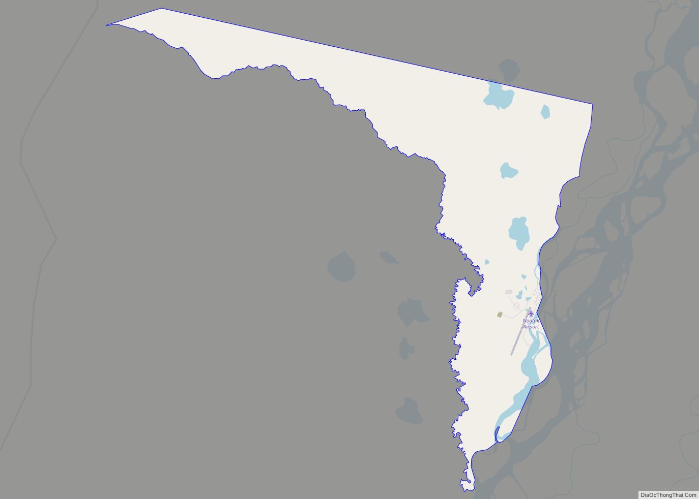
| Name: | Deering city |
|---|---|
| LSAD Code: | 25 |
| LSAD Description: | city (suffix) |
| State: | Alaska |
| County: | Northwest Arctic Borough |
| Incorporated: | October 28, 1970 |
| Elevation: | 7 ft (2 m) |
| Total Area: | 5.09 sq mi (13.18 km²) |
| Land Area: | 5.02 sq mi (12.99 km²) |
| Water Area: | 0.07 sq mi (0.19 km²) |
| Total Population: | 182 |
| Population Density: | 36.28/sq mi (14.01/km²) |
| ZIP code: | 99736 |
| Area code: | 907 |
| FIPS code: | 0218510 |
| GNISfeature ID: | 1412894 |
Online Interactive Map
Click on ![]() to view map in "full screen" mode.
to view map in "full screen" mode.
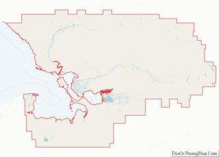
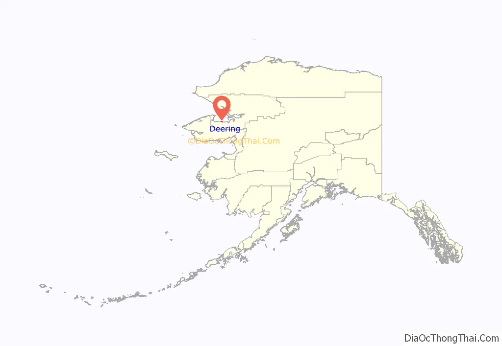
Deering location map. Where is Deering city?
History
The city was established in 1901 as a supply station for interior gold mining called “Yutica” near the historic Malemiut Eskimo village of Inmachukmiut. The name probably comes from the schooner Abbie M. Deering, which was present in the area at that time; see #The Abbie M. Deering. Deering incorporated as a second-class city in 1970. It also has a city council, organized under the Indian Reorganization Act of 1934.
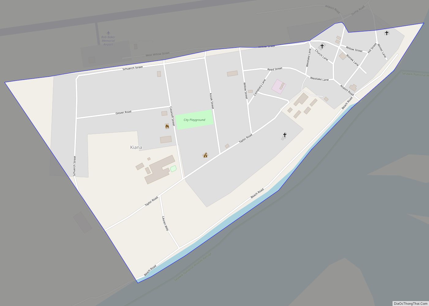
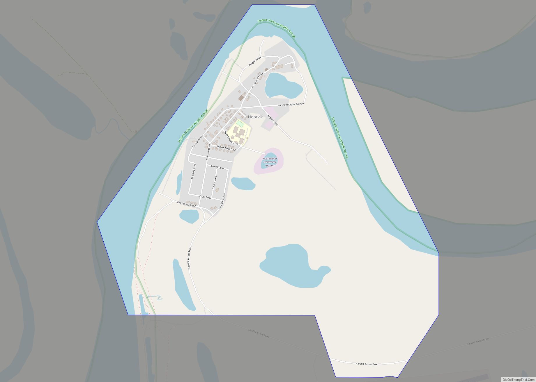
Deering Road Map
Deering city Satellite Map
Geography
Deering is located at 66°4′33″N 162°43′6″W / 66.07583°N 162.71833°W / 66.07583; -162.71833 (66.075713, -162.718229).
Climate
According to the United States Census Bureau, the city has a total area of 5.3 square miles (14 km), of which, 5.1 square miles (13 km) of it is land and 0.1 square miles (0.26 km) of it (2.28%) is water.
See also
Map of Alaska State and its subdivision:- Aleutians East
- Aleutians West
- Anchorage
- Bethel
- Bristol Bay
- Denali
- Dillingham
- Fairbanks North Star
- Haines
- Juneau
- Kenai Peninsula
- Ketchikan Gateway
- Kodiak Island
- Lake and Peninsula
- Matanuska-Susitna
- Nome
- North Slope
- Northwest Arctic
- Prince of Wales-Outer Ketchi
- Sitka
- Skagway-Yakutat-Angoon
- Southeast Fairbanks
- Valdez-Cordova
- Wade Hampton
- Wrangell-Petersburg
- Yukon-Koyukuk
- Alabama
- Alaska
- Arizona
- Arkansas
- California
- Colorado
- Connecticut
- Delaware
- District of Columbia
- Florida
- Georgia
- Hawaii
- Idaho
- Illinois
- Indiana
- Iowa
- Kansas
- Kentucky
- Louisiana
- Maine
- Maryland
- Massachusetts
- Michigan
- Minnesota
- Mississippi
- Missouri
- Montana
- Nebraska
- Nevada
- New Hampshire
- New Jersey
- New Mexico
- New York
- North Carolina
- North Dakota
- Ohio
- Oklahoma
- Oregon
- Pennsylvania
- Rhode Island
- South Carolina
- South Dakota
- Tennessee
- Texas
- Utah
- Vermont
- Virginia
- Washington
- West Virginia
- Wisconsin
- Wyoming